A walk across a continent, in chapters — with Marc, who has walked these trails for thirty years
This journey walks the great trails of Europe at boot pace, one range at a time. It opens where its guide learned his trade: the Pyrenees, crossed from the Atlantic at Hendaye to the Mediterranean at Banyuls along the GR10 and GR11 — through the Irati forest, the Ordesa canyon, beneath the wall of Gavarnie, and across a whole country, Andorra, on foot. The journey is complete: six chapters, fifty-six stops, two seas.
Every scene here is our own interpretation of the real place, created from its reference photographs. The photographs themselves — one hundred and eighty-four of them across these six chapters — are folded beneath each scene below: open a set to see what the scene was made from, and tap any photograph to see it large.
To hear the whole walk: press the tour button below and put the phone down — the page travels from scene to scene on its own, scrolling as Marc speaks. Or wander freely and tap Listen at any stop.
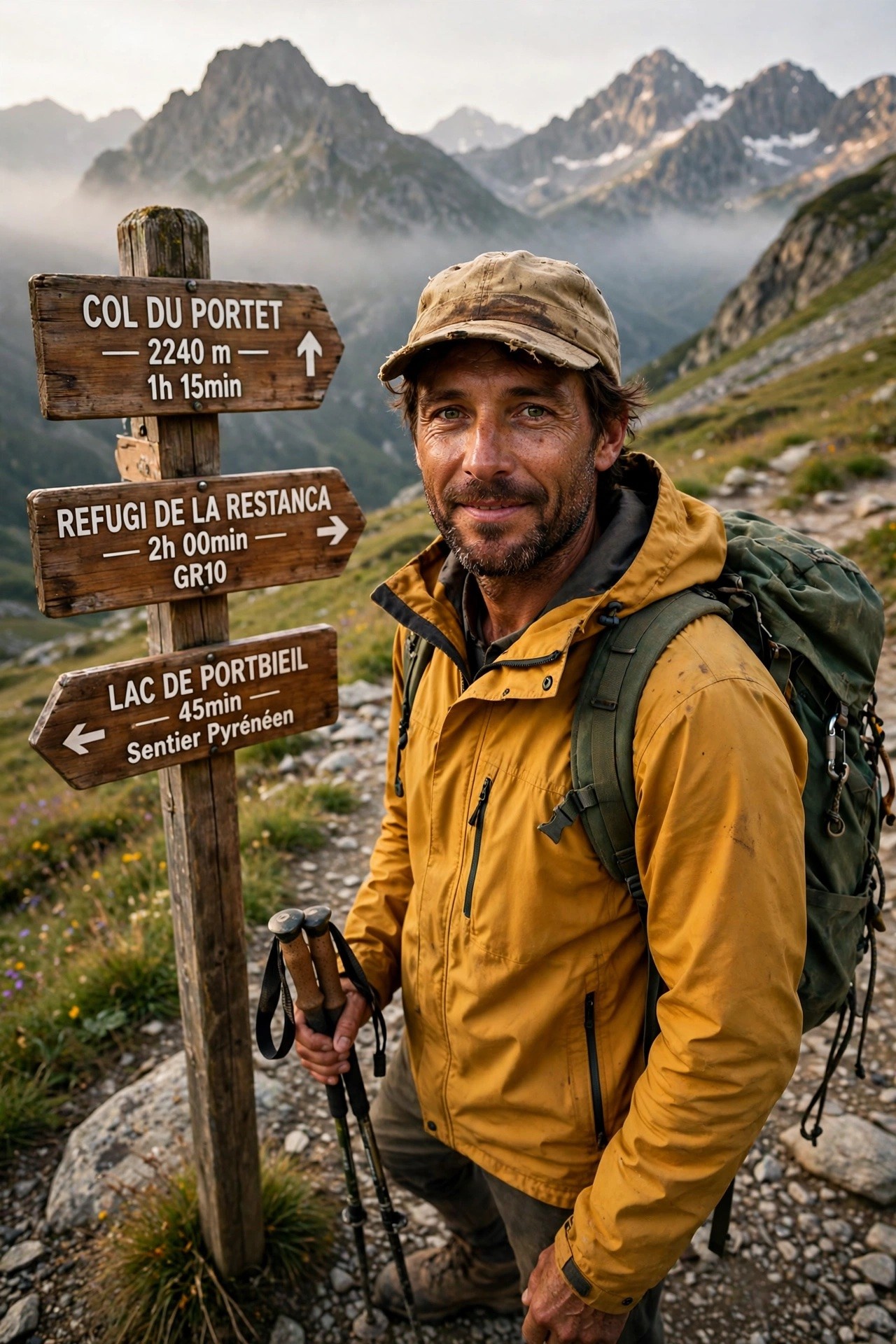
Your host: Marc — he greets you at the trailhead and walks every mile of the way with you. His welcome:
Hello — I'm Marc. For thirty years I've walked the high trails of Europe with everything I need on my back, and the Pyrenees are where I learned how. This signpost is an old friend: the GR10 runs from the Atlantic to the Mediterranean along the whole spine of the range, and it taught me the only rule that matters up here — the mountain decides; you just keep walking.
In this journey I'll take you along the great walking routes of Europe: over Pyrenean passes and down to refuge doors as the light fails, along the pilgrim road to Santiago, around Mont Blanc, beneath the Eiger, and through the pale towers of the Dolomites. We'll walk at boot pace — no hurrying, and no skipping the hard climbs, because the hard climbs are where the views are earned.
Every place I'll show you is real, and every picture is our own interpretation of it, made from reference photographs you can inspect for yourself. So lace your boots and shoulder your pack — the trail is waiting.
Chapter One — The Pyrenees: the GR10 & GR11
10 scenes · 33 reference photographs
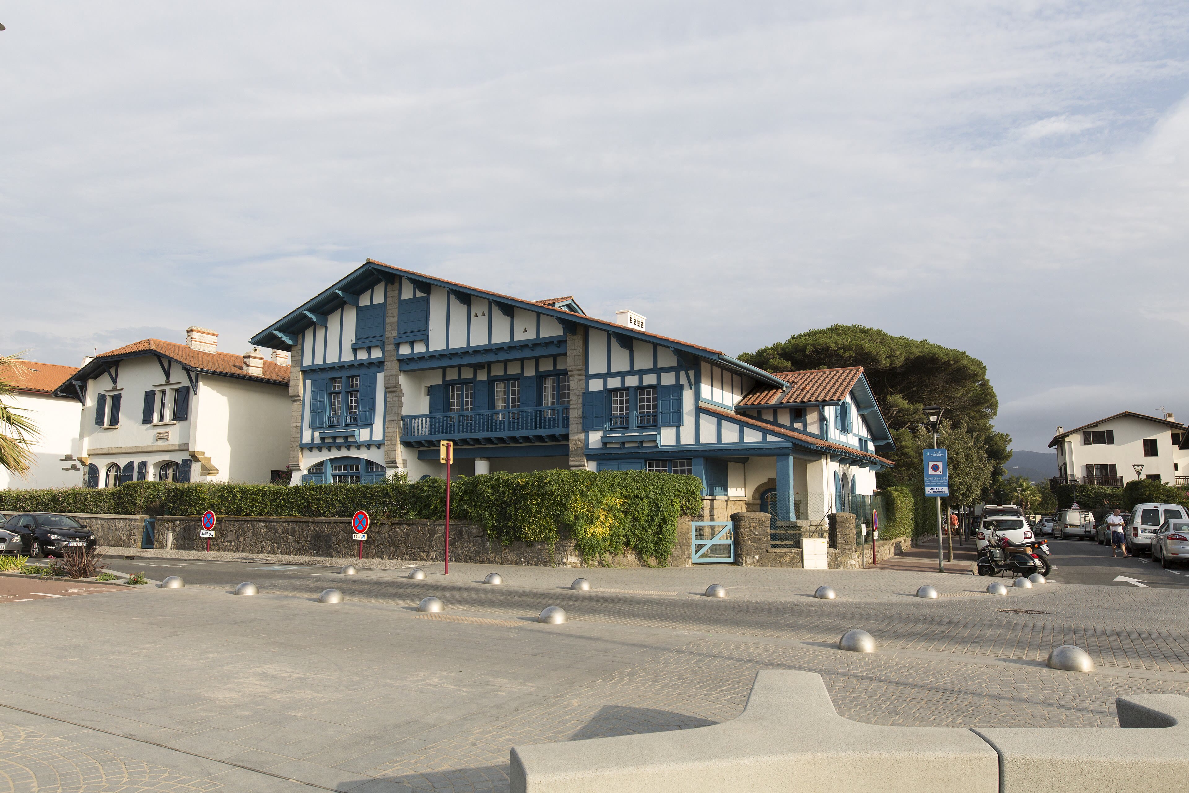
Hendaye — Where the Trail Smells of Salt
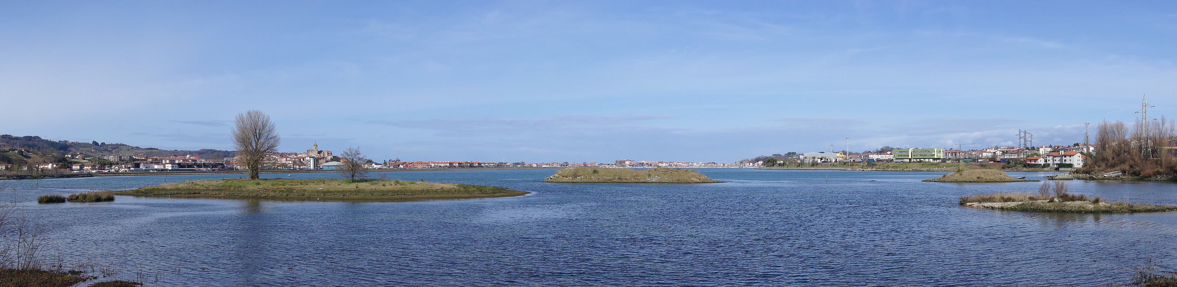
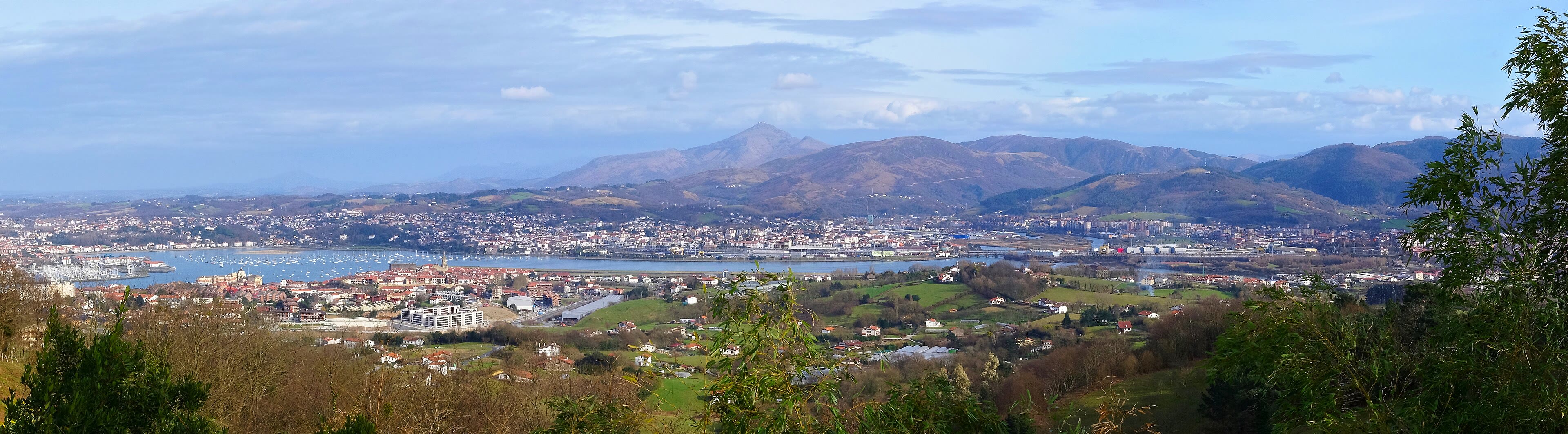
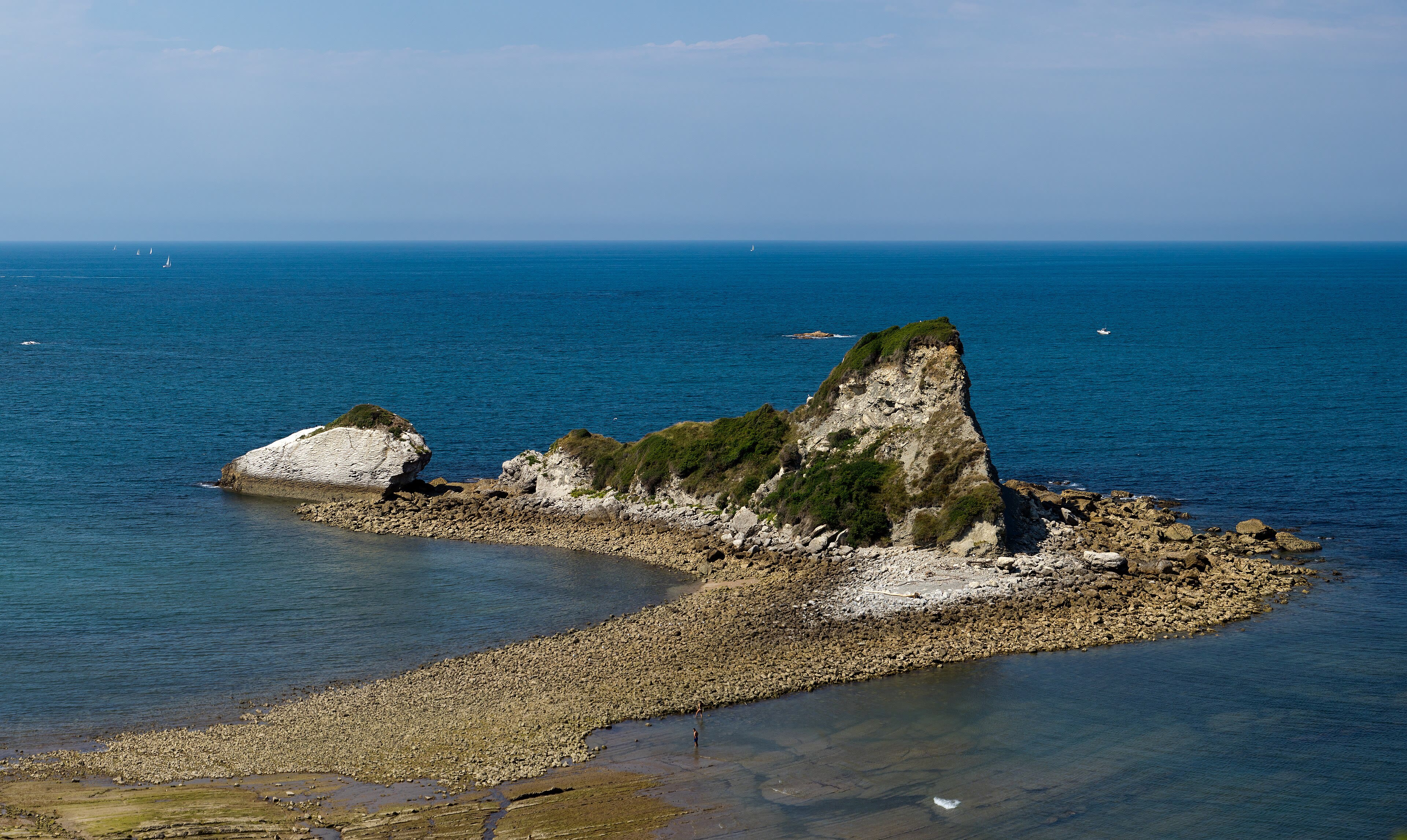
Every long walk I know begins with a goodbye to the sea. The GR10 starts here, at Hendaye, on the last sand of France, where the Bidasoa river slides into the Atlantic and Spain begins on the far bank at Hondarribia. There is no gate, no arch, no ceremony — just a waymark, red and white, on a post by the harbour, and nine hundred kilometres of mountains between you and the other sea. Pilgrims of the ridge start quietly. You check your straps, you watch the fishing boats a moment longer than you need to, and then you turn your back on the water and walk uphill, because for the first days the ocean keeps appearing behind you at every col, smaller and bluer, until one morning it doesn't. I have started here in rain and in heat and once, memorably, in a gale that took my map case into the harbour. The mountains do not care how you start. They only care that you keep going. So we start the way the trail does: unhurried, packs snug, eyes up. The Basque hills are green and kind at first. They are lying to you, kindly, about what is coming — and that is exactly how a great walk should begin.
Hendaye — Where the Trail Smells of Salt — our interpretation, created from the reference photographs belowReference photographs — Hendaye — Where the Trail Smells of Salt · 4 photographs
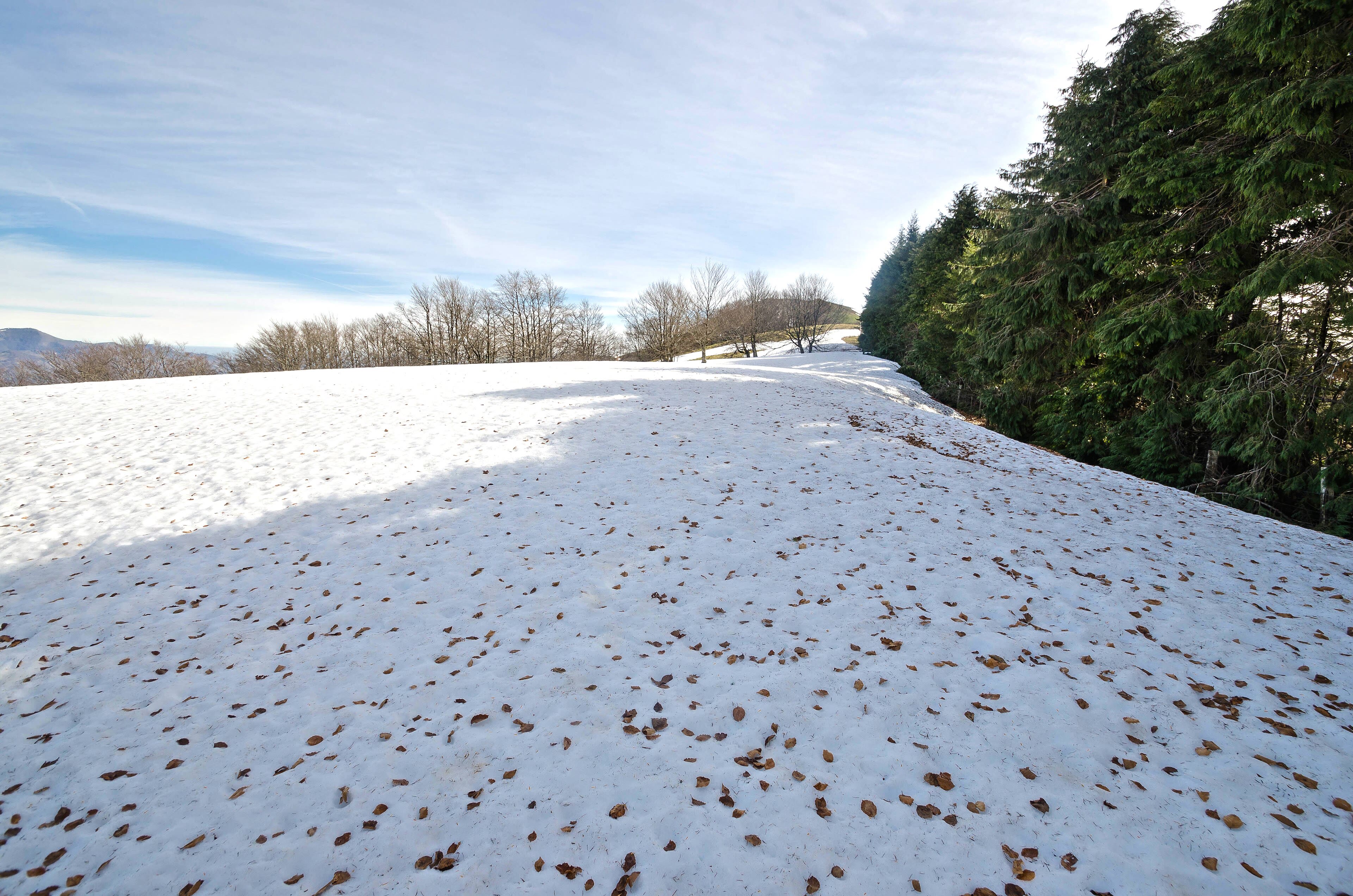
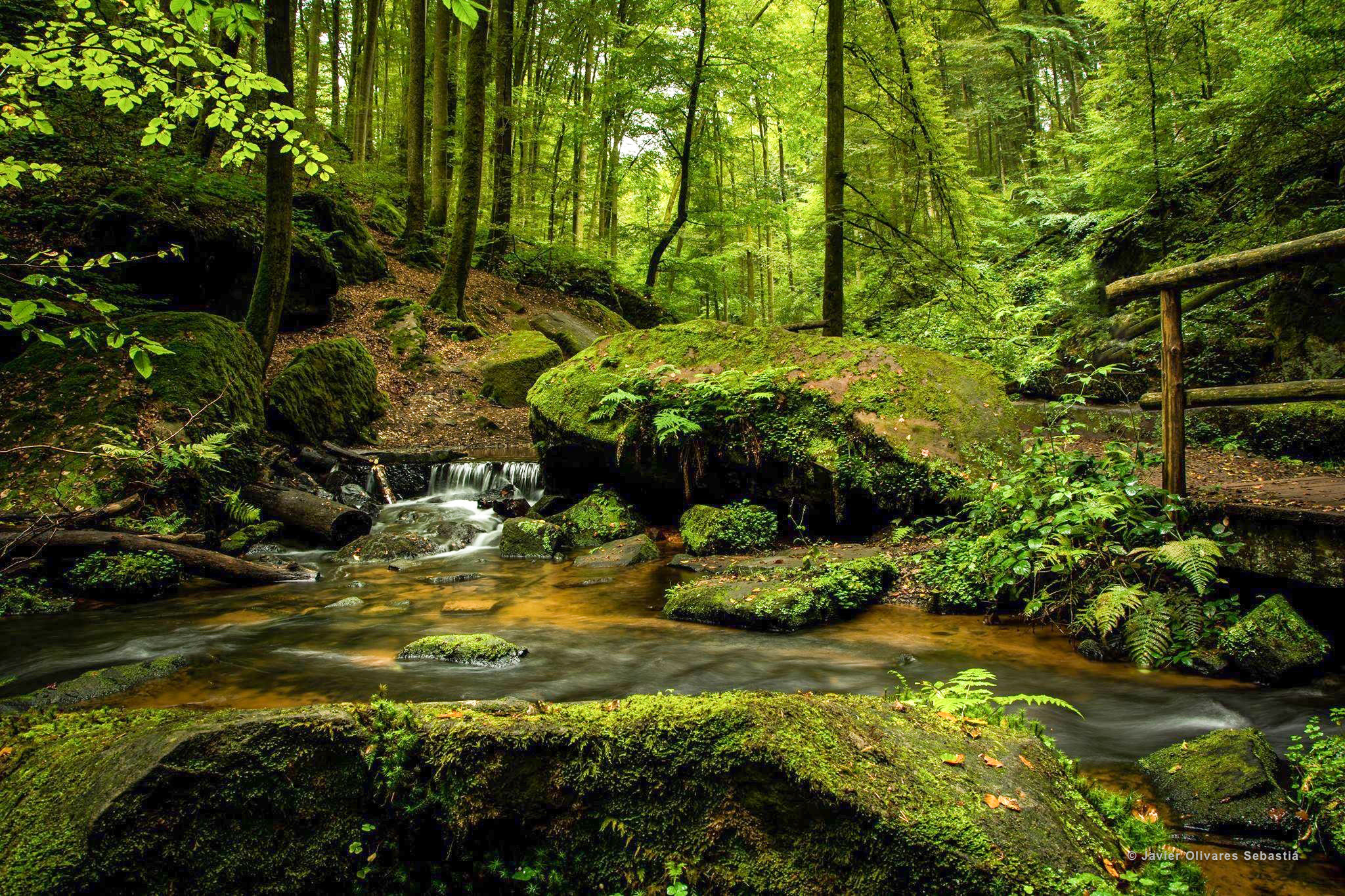
The Irati Forest
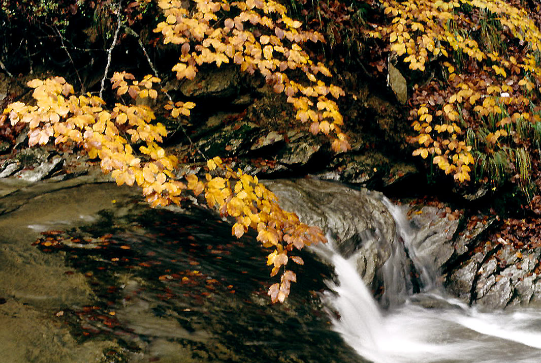
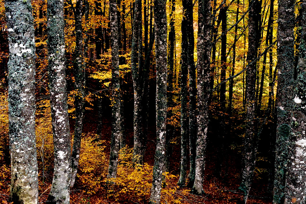
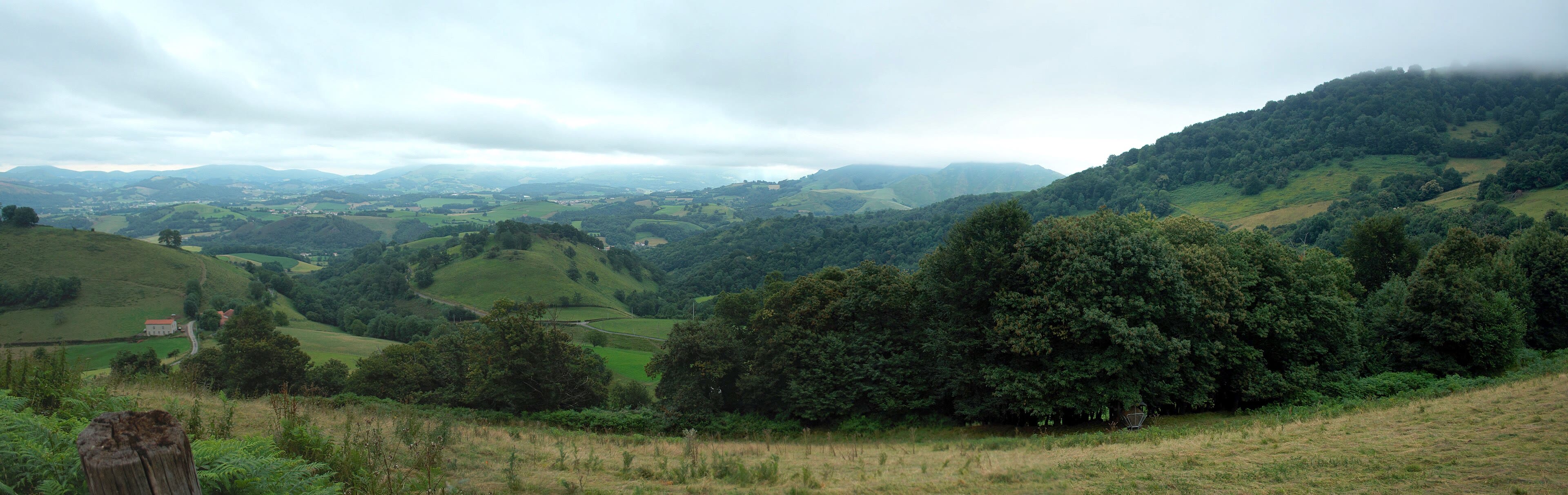
On the Spanish side now, on the GR11, you come down out of the light into the Irati forest, and the world changes key. This is one of the greatest beech and fir forests left in Europe — seventeen thousand hectares of it, straddling Navarre and France — and walking it feels like walking along the bed of a green sea. The beeches rise on grey pillars into a canopy so complete that the light arrives filtered, jade-coloured, and the forest floor is silent with leaf-mould. After rain the whole place steams gently and smells of mushroom and wet bark. Woodpeckers work somewhere you never quite see. In autumn, when the beech turns copper, people drive for hours just to stand at the edge of it; the walker gets the interior, the long green tunnels of it, for free and for days. A forest like this teaches you the walker's second rule: not every treasure on a trail is a summit. Some are shade, and water, and an hour when nobody in the world knows where you are. The Irati has been guarded for centuries — first by kings who wanted its timber for ships, now by law — and it guards you right back, all the way through.
See this place in the galleryThe Irati Forest — our interpretation, created from the reference photographs belowReference photographs — The Irati Forest · 4 photographs
Ochagavía — Stone Houses Under the Pass
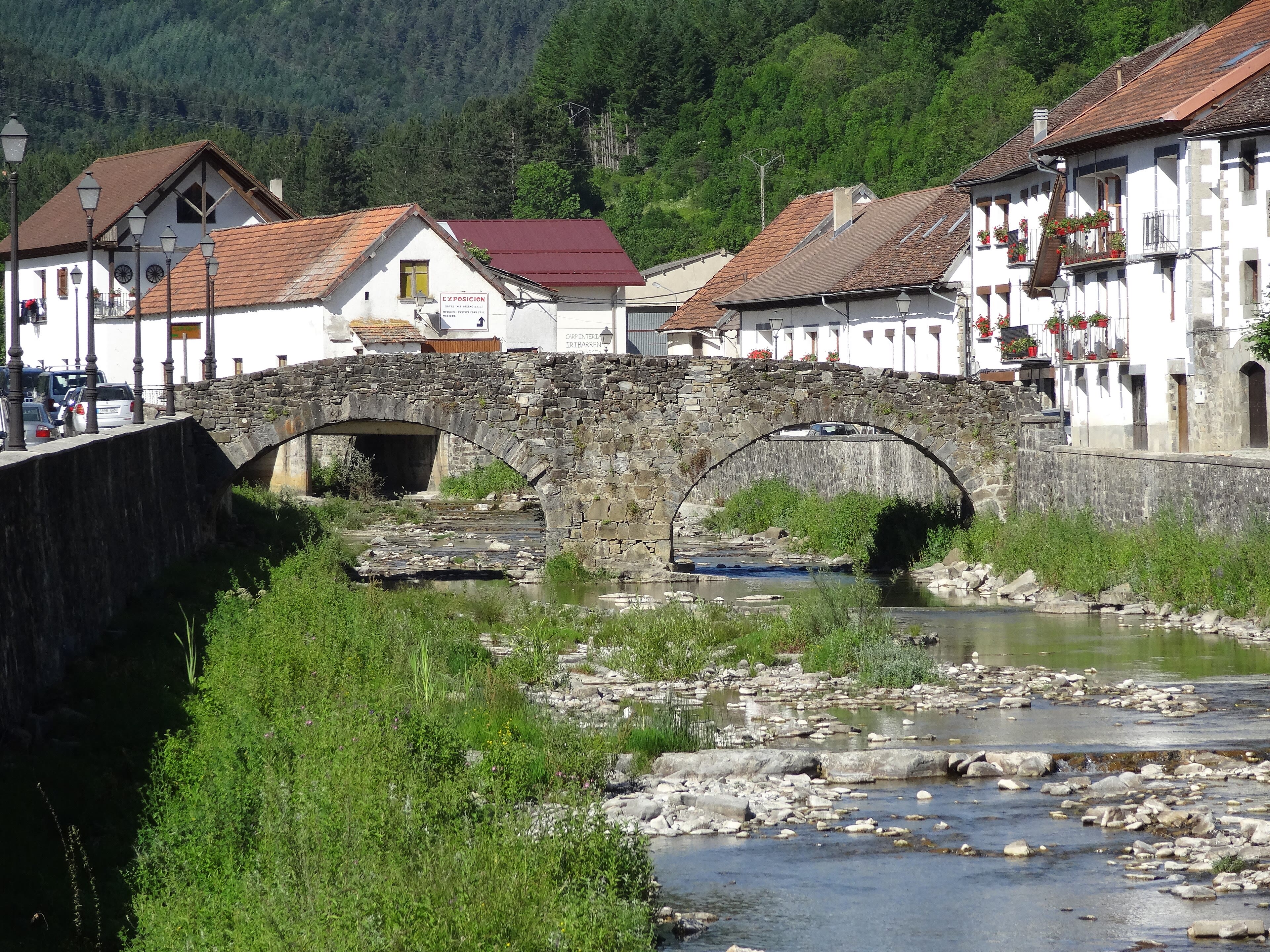
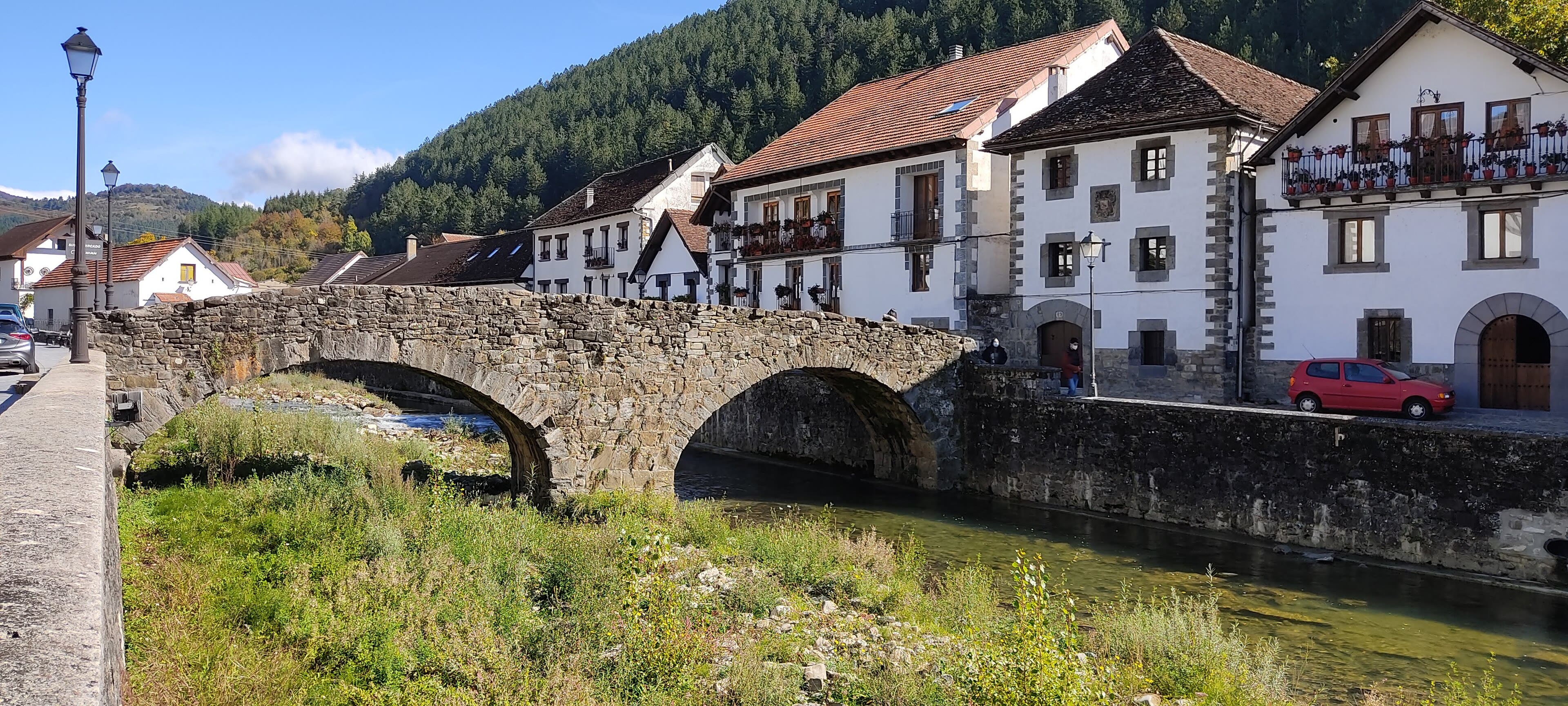
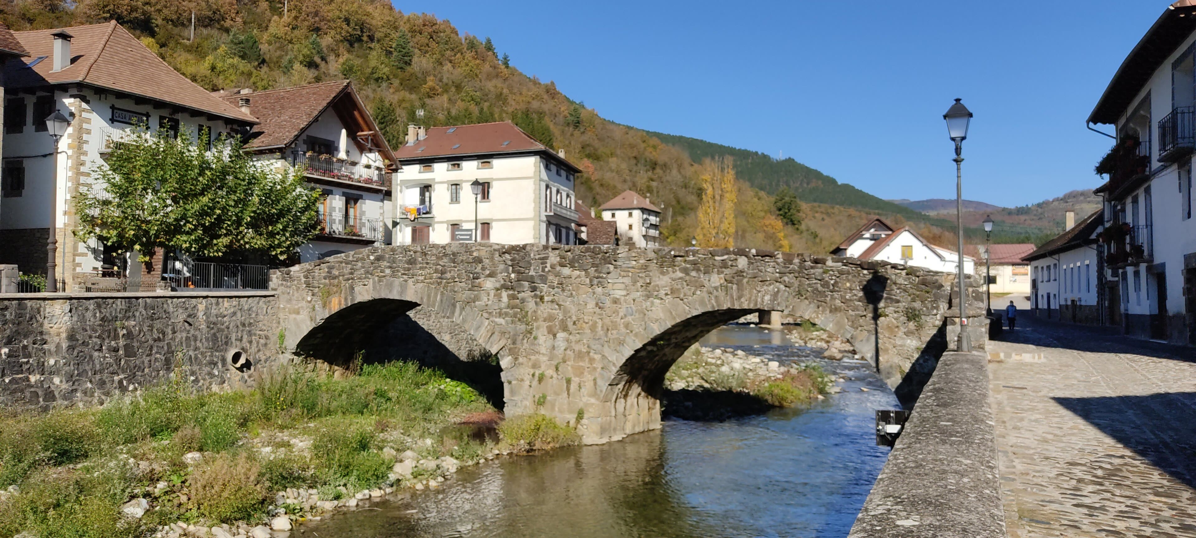
Every traverse needs its anchor villages, and Ochagavía is one of mine. It sits in Navarre's Salazar valley where the Zatoya and Anduña rivers meet, a huddle of steep-roofed stone houses with great wooden eaves, built for snow and for keeping a family's whole winter under one roof. For the GR11 walker it is the last proper bed and the last proper bakery before the high country, and I have never once passed through quickly. There is a medieval bridge, a church with a fortress's manners, and in the evenings the swallows work the river while the day's walkers compare blisters in the bar like fishermen comparing fish. Places like this are the trail's punctuation. The commas are cols; the full stops are villages, where you dry your socks, mend your straps, and eat something with a name you will remember longer than some summits. Ochagavía's name in Basque is Otsagabia, the place of the wolf's pass, and on dark October nights, with the beech woods of Irati breathing above the roofs, you can believe every word of it. Sleep well here. Tomorrow the path climbs out of the trees and into the limestone, and the Pyrenees stop being gentle.
See this place in the galleryOchagavía — Stone Houses Under the Pass — our interpretation, created from the reference photographs belowReference photographs — Ochagavía — Stone Houses Under the Pass · 3 photographs
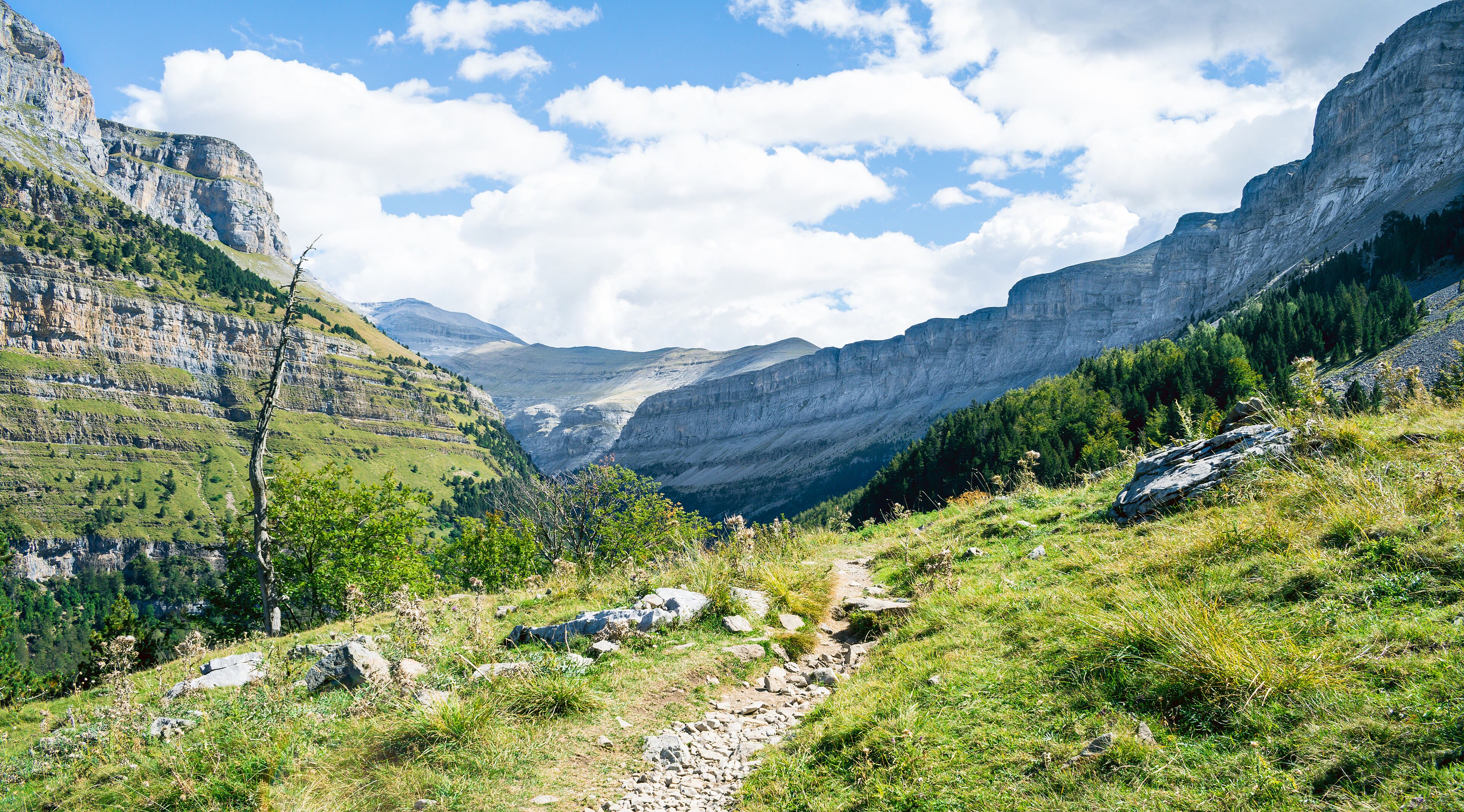
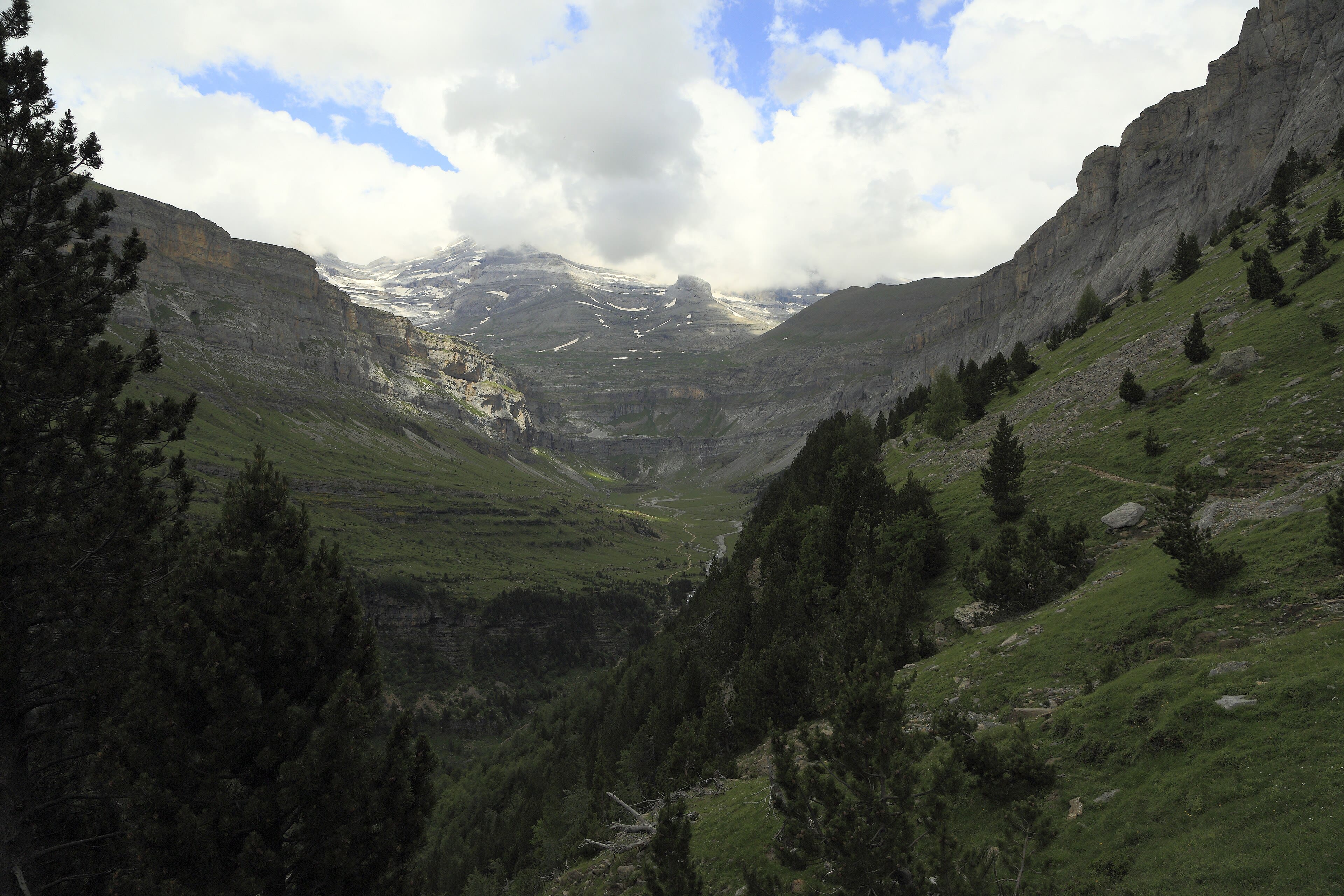
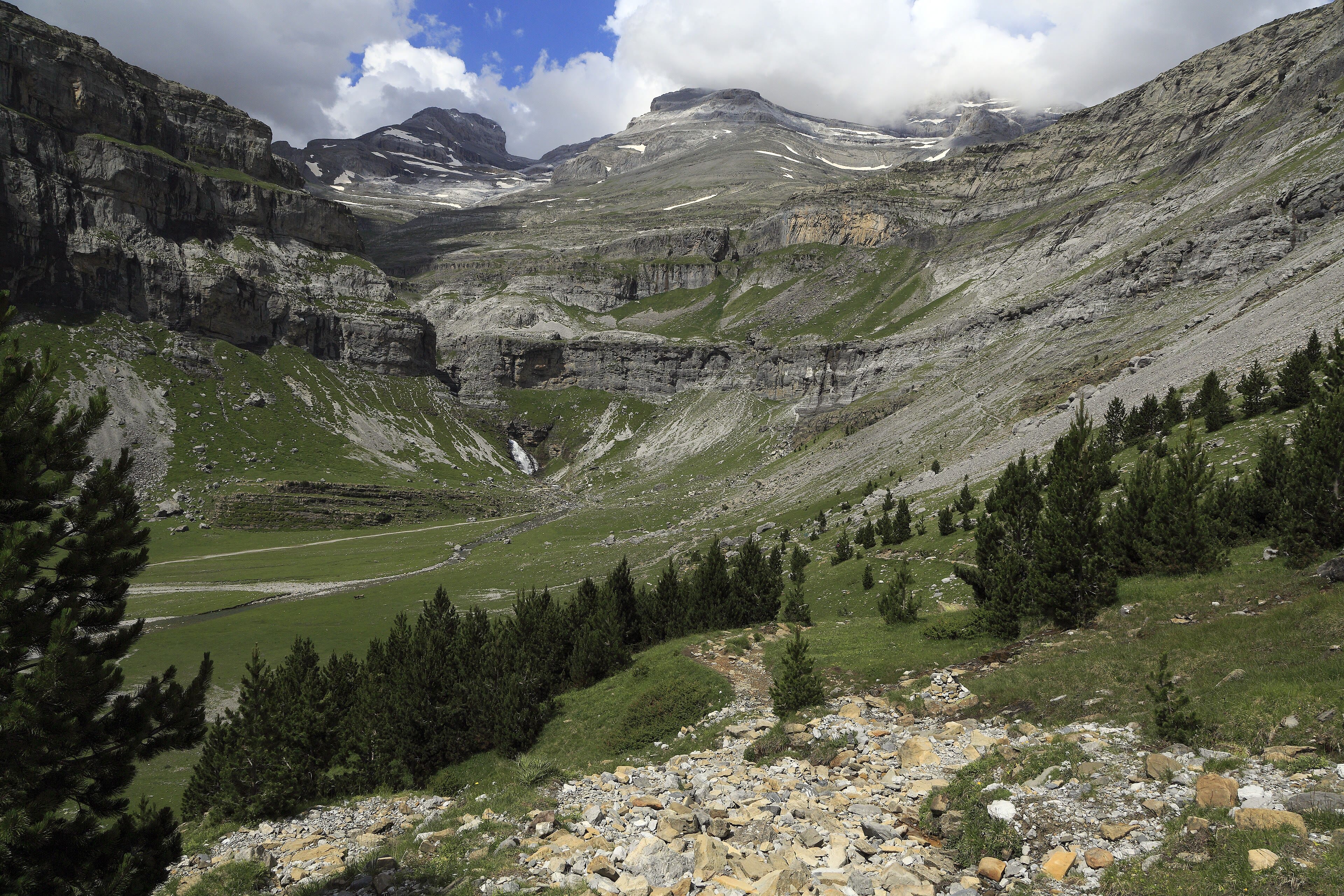
Ordesa — The Canyon That Swallows Sound
If the Pyrenees have a cathedral, it is the Ordesa valley. The GR11 walks you into a canyon cut through pure limestone — walls a thousand metres high in places, banded like a layer cake, with the Arazas river running green and glacial along the floor. Monte Perdido, the lost mountain, closes the head of it at three thousand three hundred and fifty-five metres, and its glaciers once filled this whole trough; you can read their passage in the perfect U of the valley and the polished shoulders of the rock. The path keeps to the beech and pine shade, past waterfall after waterfall — the Cola de Caballo, the horse's tail, pours at the valley's end where walkers sit in rows on the stones, eating lunch in the spray, not talking much. Canyons change your sense of scale the way the sea changes your sense of time. Your footsteps come back off the walls a half-second late, and your voice, when you call across to a companion, arrives sounding borrowed. Walk it slowly, this one. Spain protected it early — the national park here dates from nineteen eighteen — and a century of protection shows in every pool and pine.
See this place in the galleryOrdesa — The Canyon That Swallows Sound — our interpretation, created from the reference photographs belowReference photographs — Ordesa — The Canyon That Swallows Sound · 3 photographs
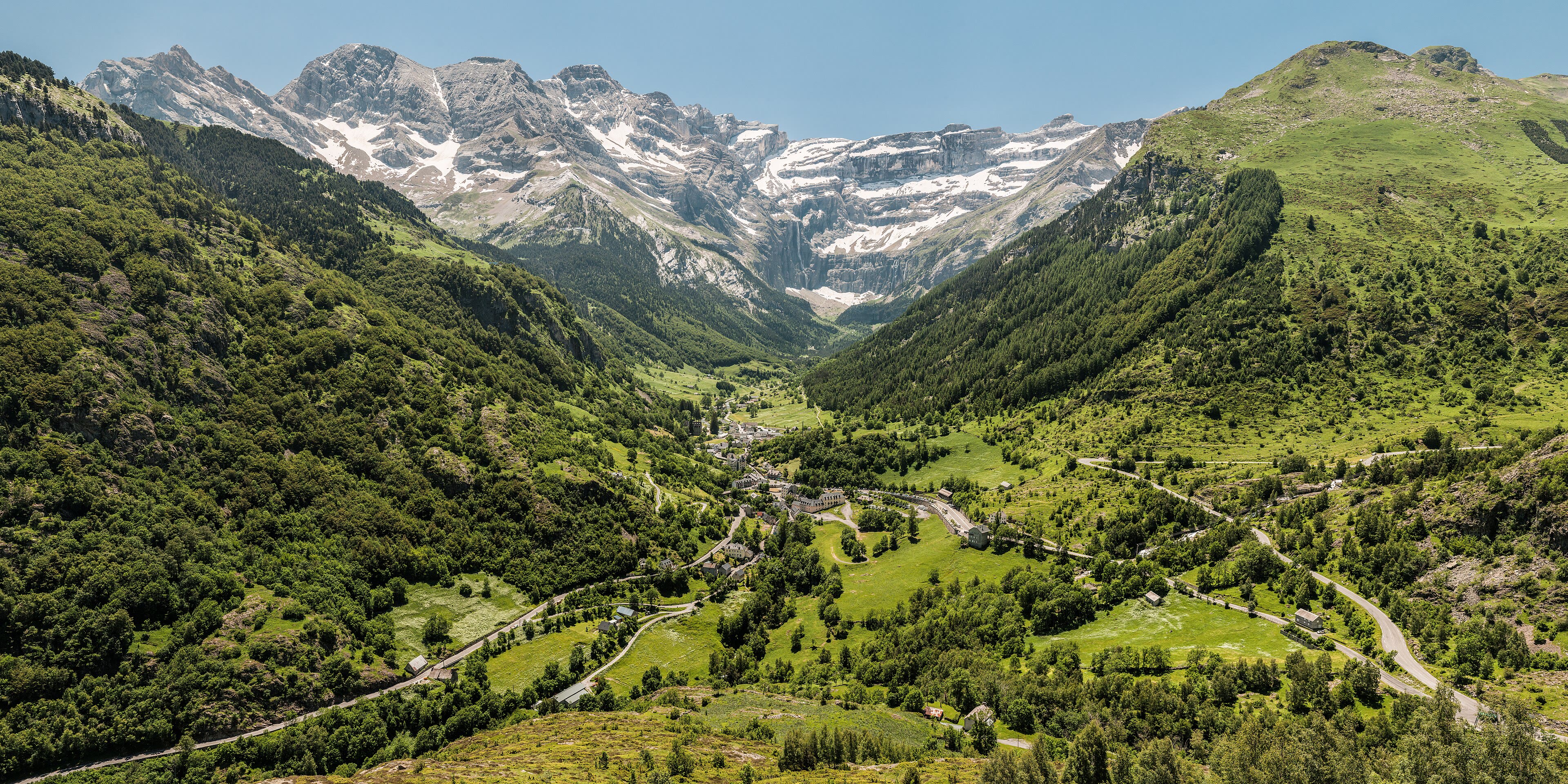
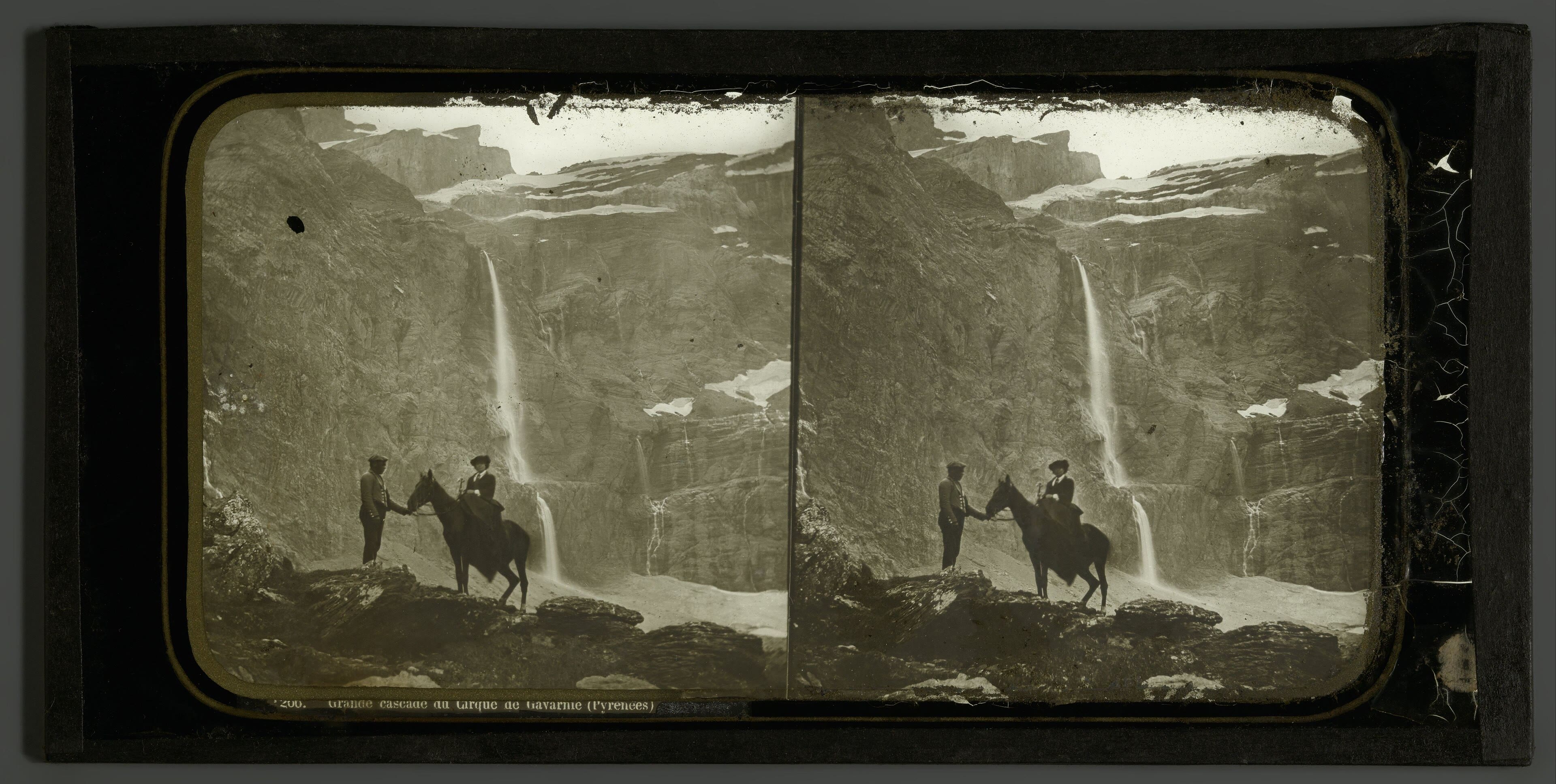
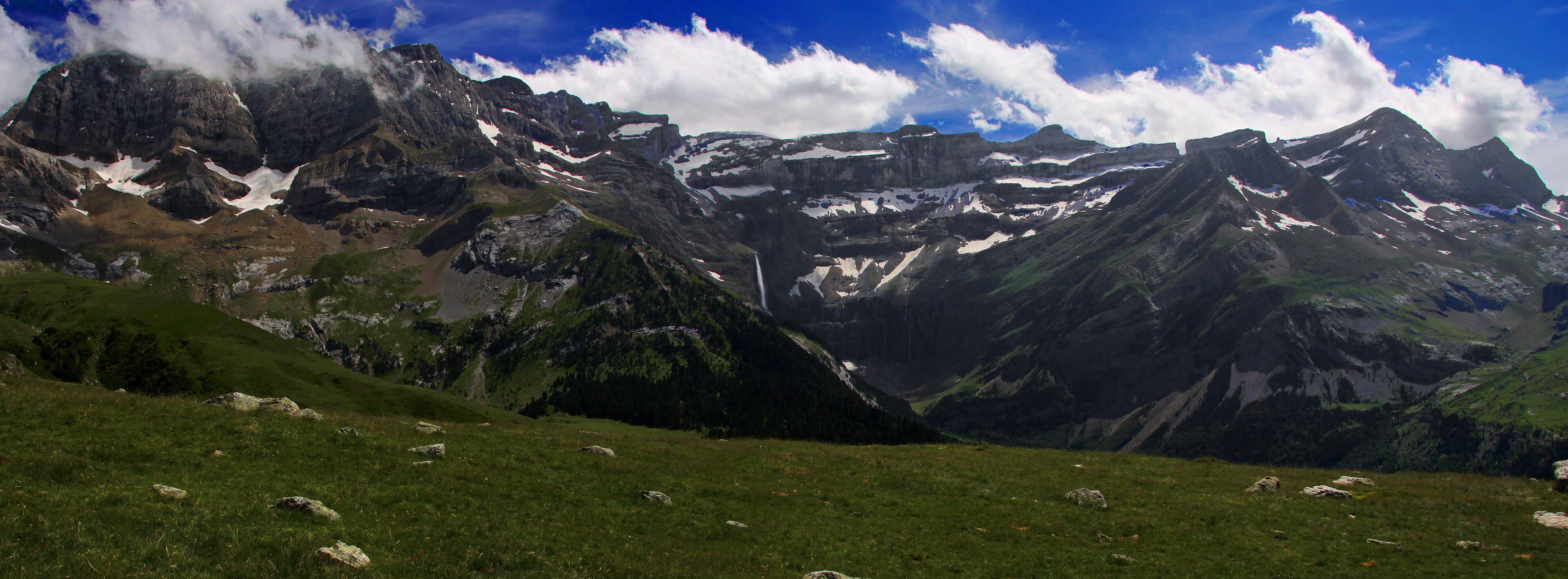
Gavarnie — The Wall at the End of the World
Cross to the French side now, on the GR10, and walk up the valley to Gavarnie, where the walk simply stops being reasonable. In front of you the Cirque de Gavarnie closes the world: a wall of rock a thousand metres and more from floor to rim, curved like the back of a wave about to break, with the Grande Cascade — among the tallest waterfalls in Europe — unspooling down it in a white thread that the wind keeps stealing. Victor Hugo called it the colosseum of nature, and for once the poet was understating. Above the rim sits the Brèche de Roland, a great notch cut in the ridge to Spain, and the old story says Roland cut it with one blow of his sword, dying after Roncevaux. That is legend, and I tell it as legend — but stand under that wall at dawn, when the first light touches the rim and the cascade begins to shine, and you will understand why the story needed a hero with a sword. No army of geologists with their ice and their limestone has ever made it smaller in my mind. The GR10 passes directly beneath. So do we — slowly, and mostly in silence.
See this place in the galleryGavarnie — The Wall at the End of the World — our interpretation, created from the reference photographs belowReference photographs — Gavarnie — The Wall at the End of the World · 3 photographs
Benasque — Under the Highest Roof of the Pyrenees
The town of Benasque, in its wide green valley on the Spanish side, is the walker's capital of the central Pyrenees — and it knows it. Gear shops, guide bureaux, bars full of weather talk: everything here serves the white massif that fills the northern sky, the Maladeta, crowned by the Pico de Aneto at three thousand four hundred and four metres, the highest summit in the whole range. The GR11 threads the valley, and from its paths you look up at the Aneto glacier — the largest left in the Pyrenees, and shrinking, which every guide here will tell you with the flat honesty of a man describing a sick relative. I will not pretend the ice is what it was in my father's maps. But the mountain is not only its glacier. It is granite and black tarns and a summit cross you can see from the valley floor on clear evenings, and a town that has sent its sons up it for two hundred years. Base yourself here in the script of any Pyrenean summer and the range opens in every direction: Posets one way, Perdido the other. Tonight we eat well. The high passes are queuing up ahead of us like weather.
Benasque — Under the Highest Roof of the Pyrenees — our interpretation, created from the reference photographs belowReference photographs — Benasque — Under the Highest Roof of the Pyrenees · 3 photographs
Aigüestortes — The Country of a Thousand Lakes
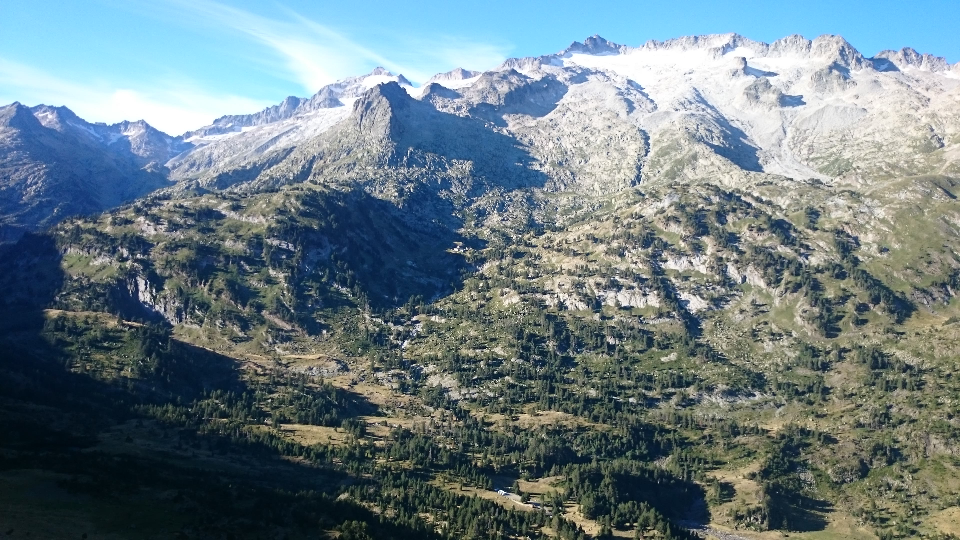
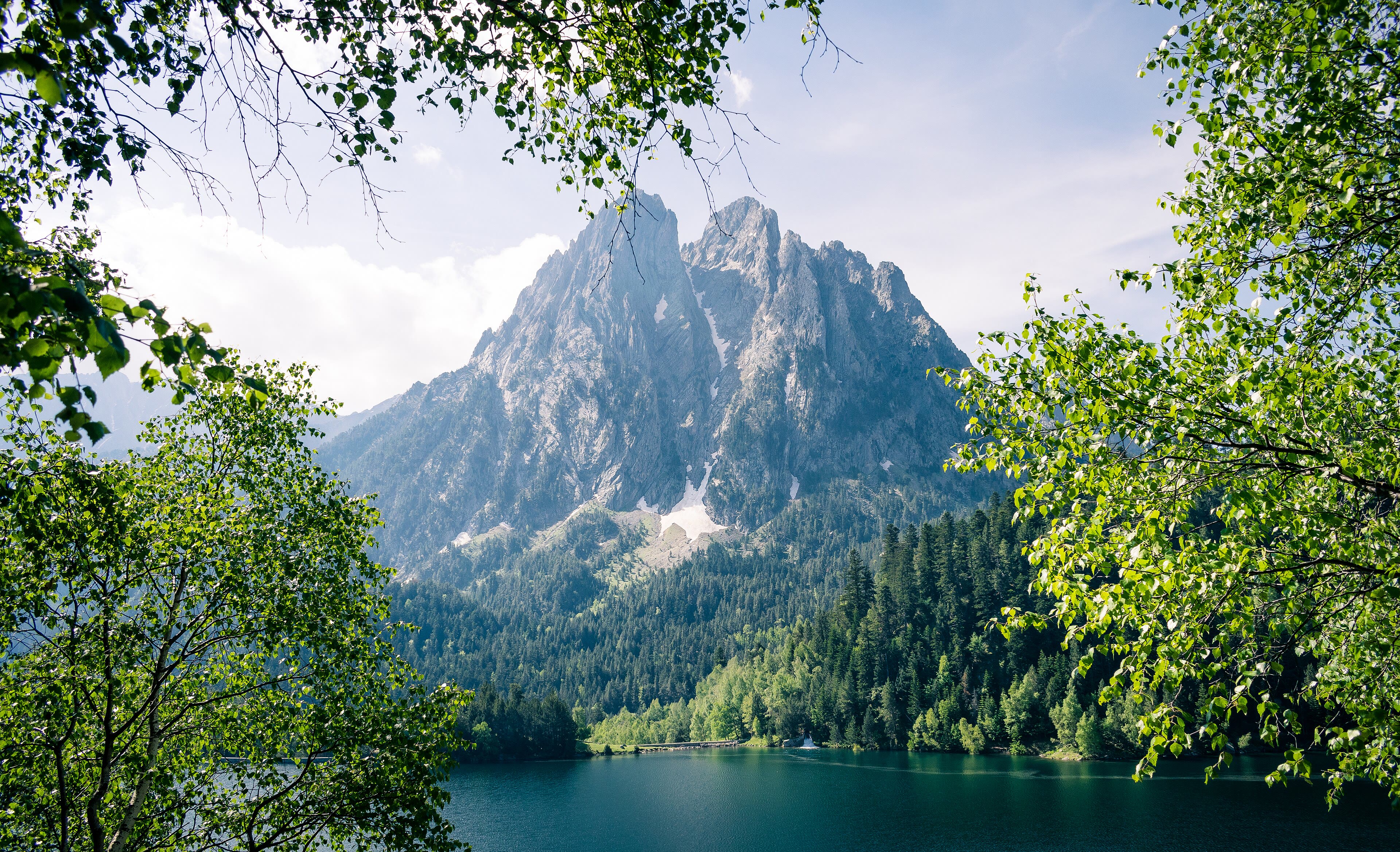
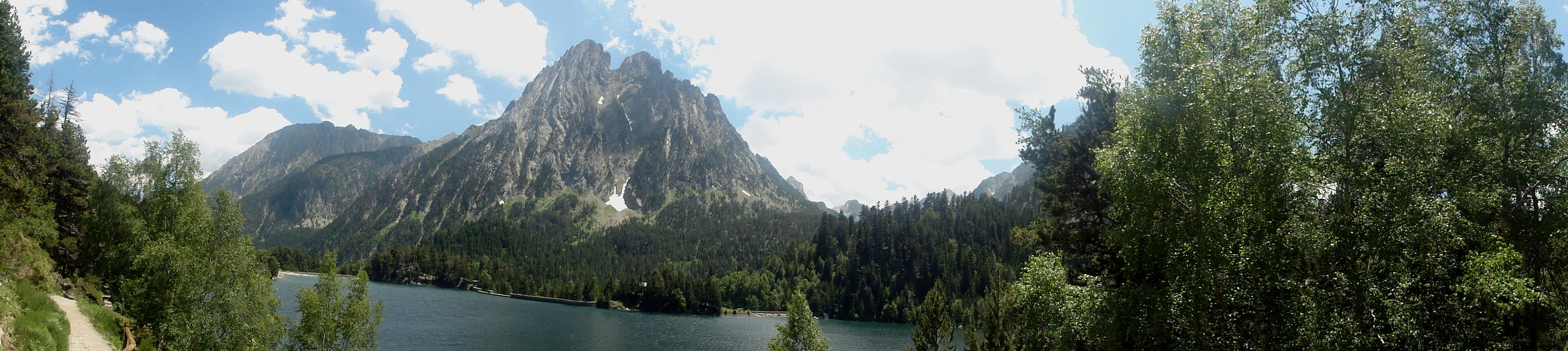
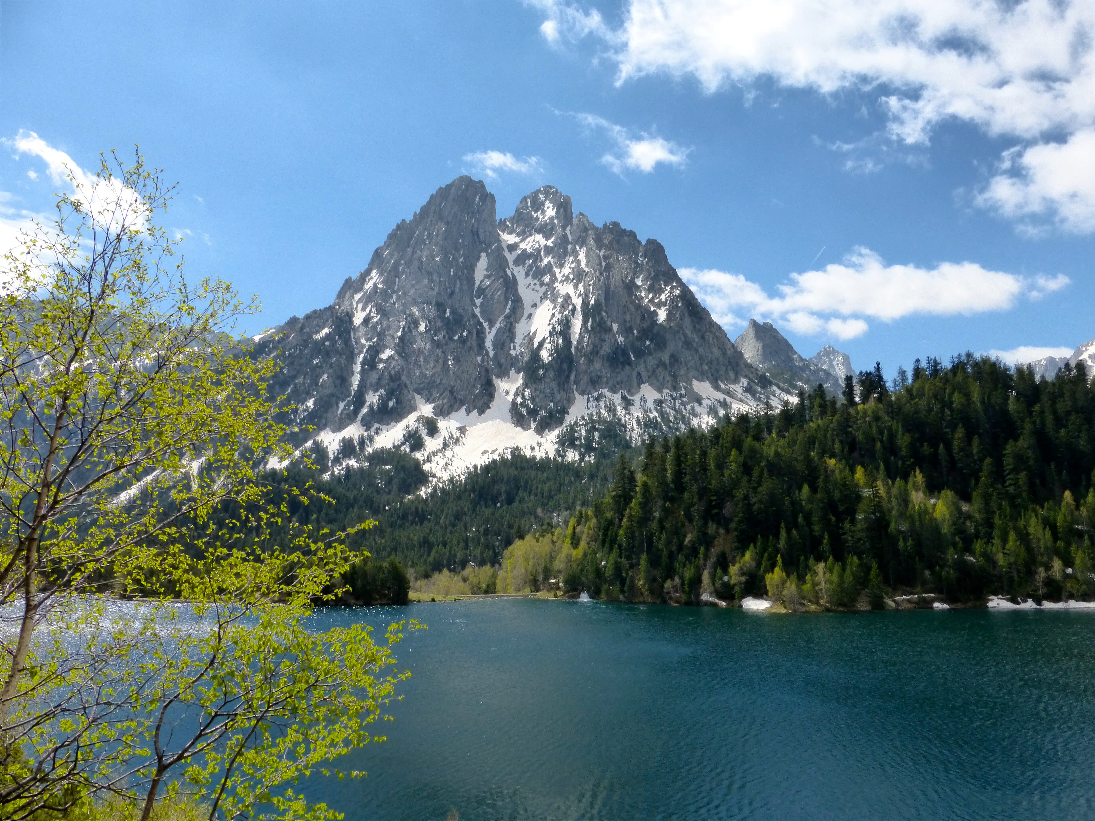
Now I will show you my home ground. Aigüestortes i Estany de Sant Maurici is Catalonia's only national park, a high country of granite spires and more lakes than anyone has honestly counted — the walker's GR11 and its variants thread it tarn by tarn. The signature view is the lake of Sant Maurici with the twin peaks of Els Encantats, the Enchanted Ones, standing over it like gateposts, and the pines come down to the water as black-green ranks. My own portrait — the one at the head of this journey — was made near here, at a signpost pointing to the Restanca refuge, two hours on, by a lake of the same dark water. Refuges are the Pyrenees' gift to the walker: stone houses in impossible places, with bunks, soup, and a warden who has heard every excuse the weather ever made. Sleep in them when you can. A night at the Restanca, with the wind worrying the shutters and the lake slapping its stones below, teaches you more about these mountains than any summit. This is the chapter of the walk I would save from a fire. Walk it gently, swim if you are brave — the water is exactly as cold as it looks — and leave it as you found it.
Aigüestortes — The Country of a Thousand Lakes — our interpretation, created from the reference photographs belowReference photographs — Aigüestortes — The Country of a Thousand Lakes · 3 photographs
Andorra — A Country You Can Walk Across
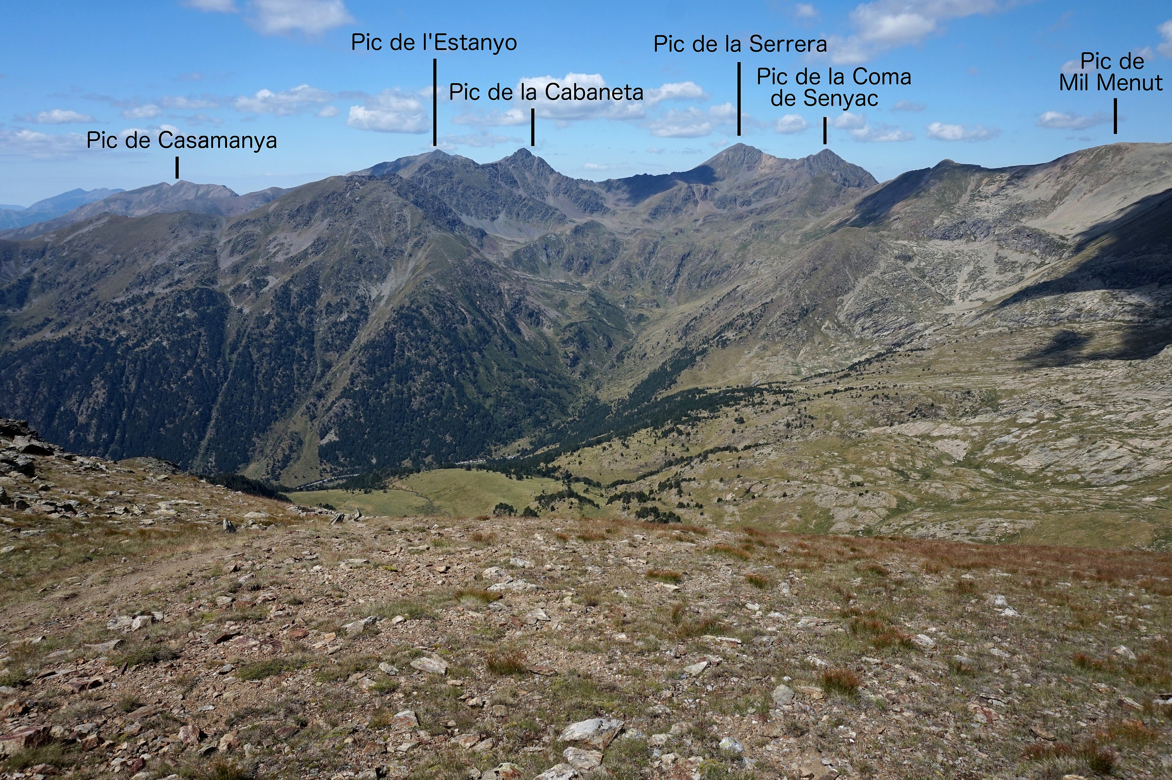
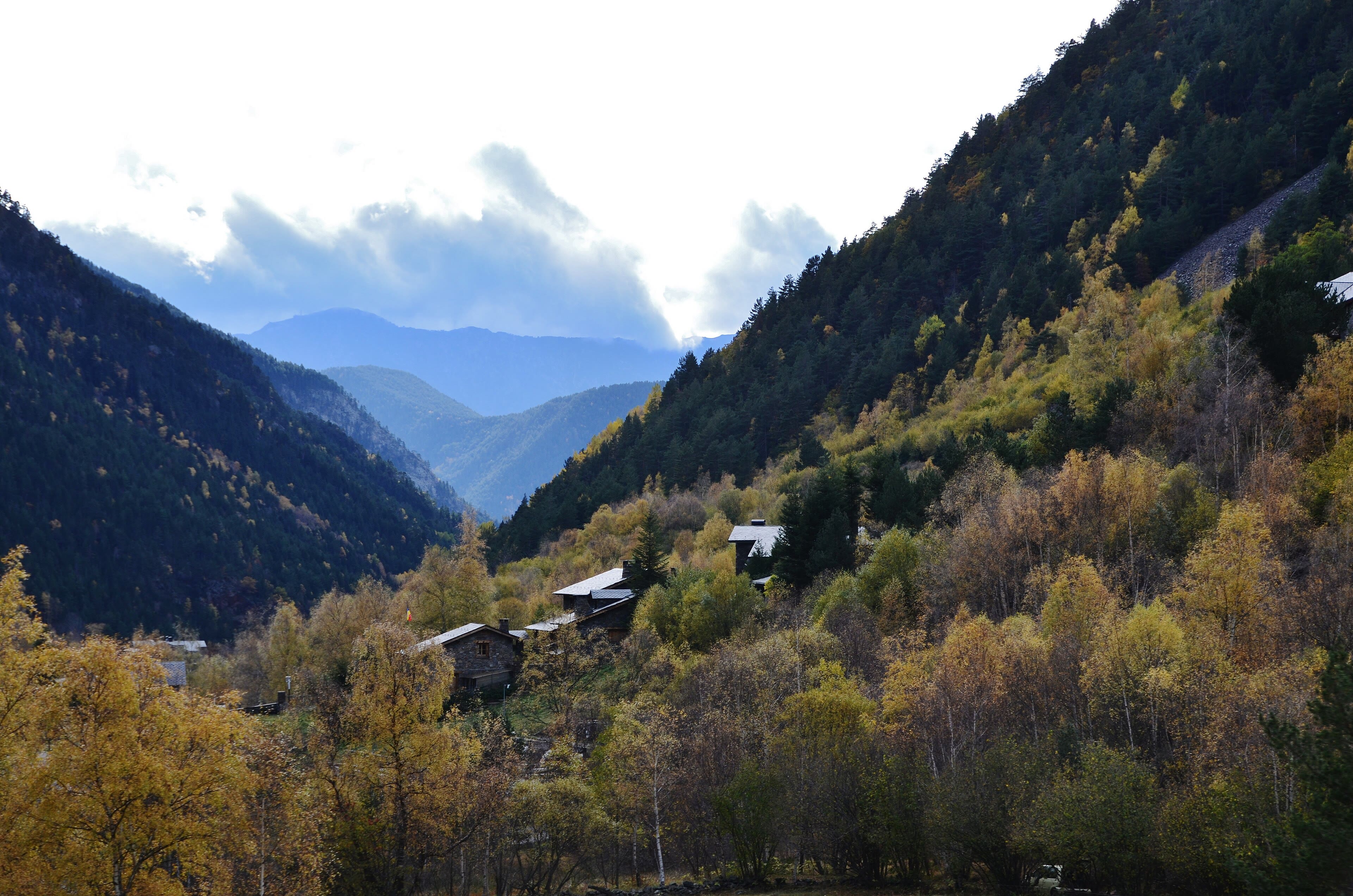
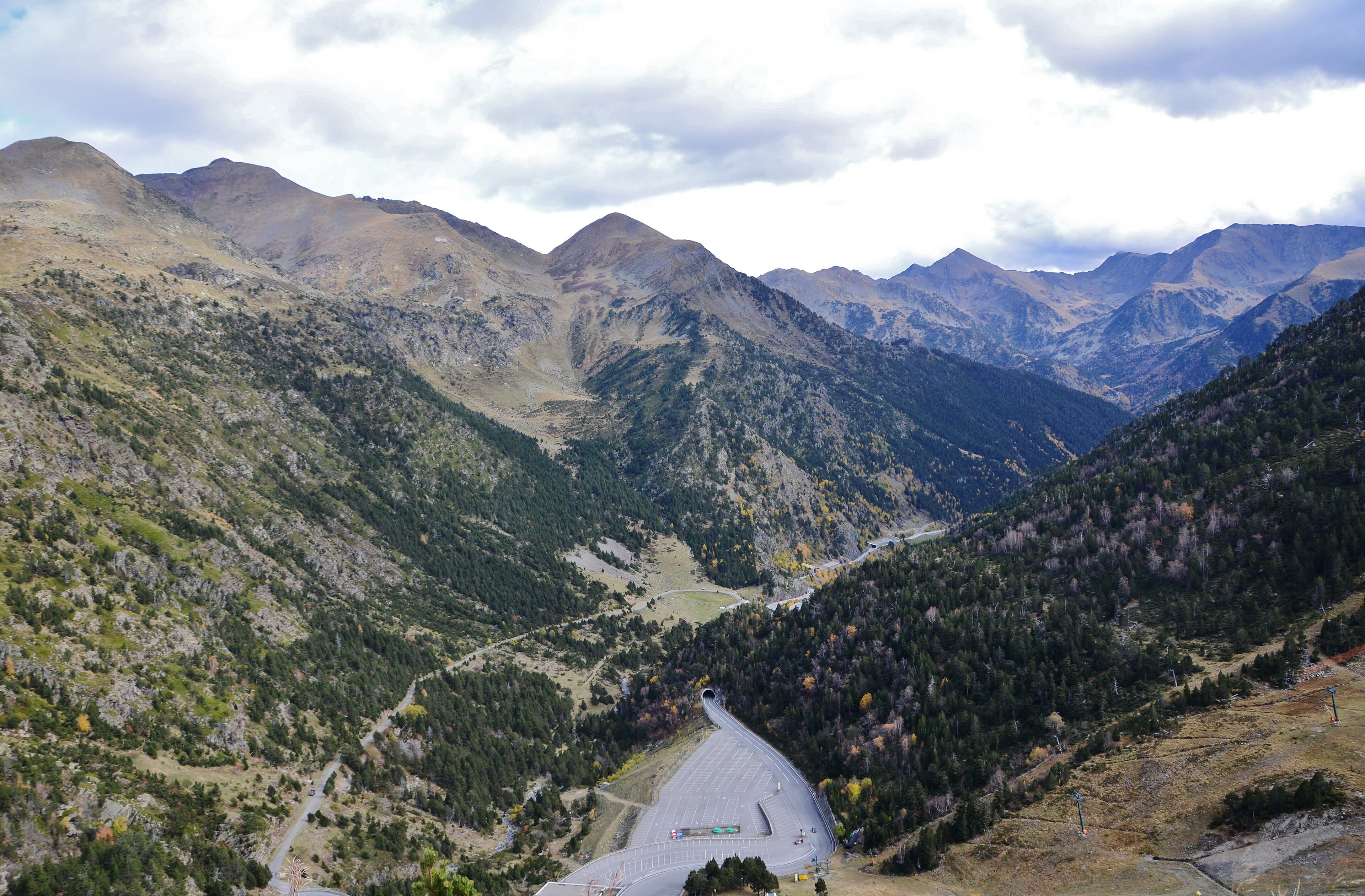
There is a particular pleasure in walking the length of an entire country, and Andorra lets you do it in days. The little principality sits folded entirely inside the Pyrenees, and the GR11 crosses it through high valleys where the Romanesque churches stand a thousand years deep in their own silence — squat stone towers, painted apses, bells that still mark the hours for hamlets of twenty houses. We walk the Ordino valley, the greenest and quietest of them, under the Casamanya's pale pyramid, and the trail here has a lived-in feel the wilder ranges lack: dry-stone walls, iron mines remembered in museum villages, shepherds' huts — bordes — scattered like a second, older architecture. Andorra is famous for its shops and its skiing, and the walker is politely indifferent to both. What the trail shows you is the country underneath the commerce: a mountain republic that survived a millennium between two empires by being too high, too poor, and too stubborn to be worth conquering. Buy your cheese in the valley, fill your bottle at the fountain in the square, and walk on with a whole nation in your legs. It is a fine sentence to be able to say at dinner: today, I walked across a country.
Andorra — A Country You Can Walk Across — our interpretation, created from the reference photographs belowReference photographs — Andorra — A Country You Can Walk Across · 3 photographs
The Canigou — The Mountain That Watches the Sea
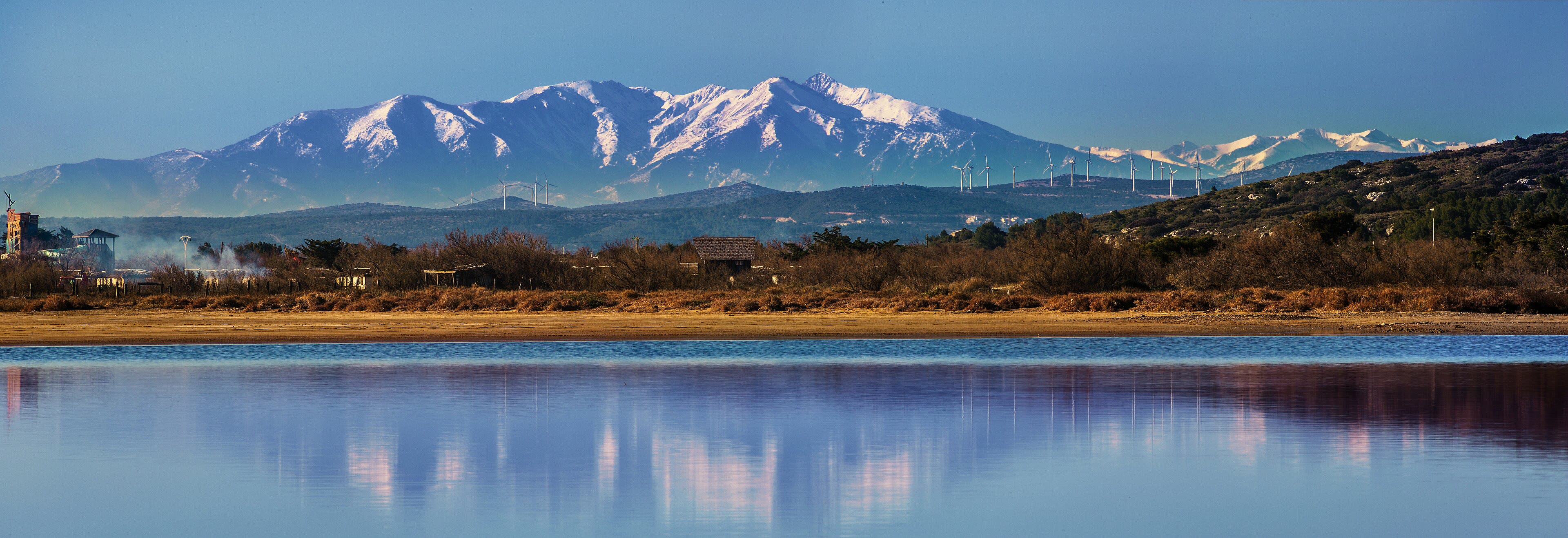
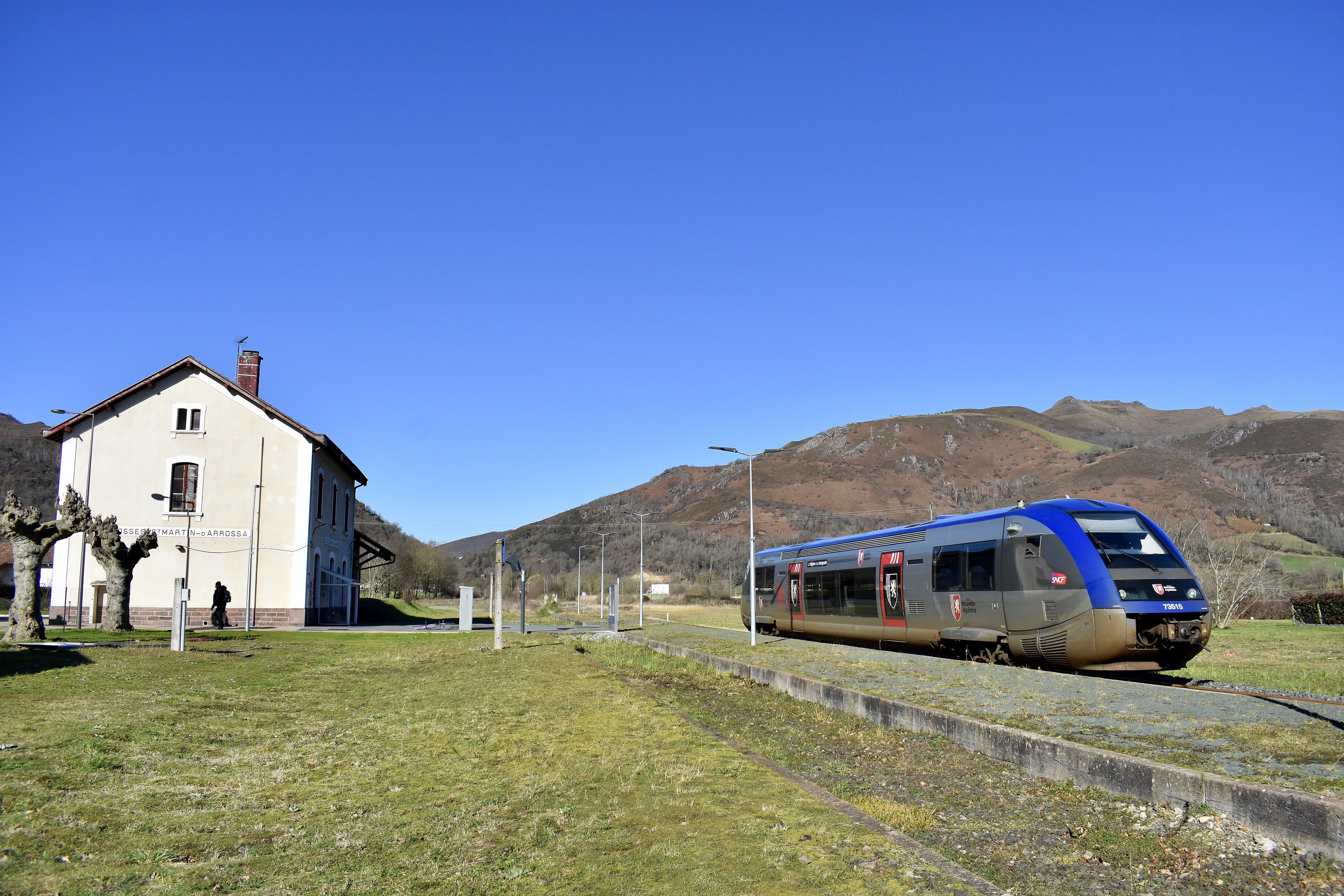
Every range has a mountain that belongs to everyone's grandfather, and in the eastern Pyrenees it is the Canigou. It is not the highest — two thousand seven hundred and eighty-four metres — but it stands apart from the main chain, out towards the Mediterranean, and so it owns the horizon: from its summit, on the clear days the tramontana wind scrubs clean, you can see the sea, the plains of Roussillon, and half of Catalonia at once. The Catalans call it their sacred mountain, and on the night of Saint John, in June, a flame is carried from its summit to light bonfires in a hundred towns — the Flama del Canigó, a fire with a passport. The GR10 climbs it through the abbey country, past Saint-Martin-du-Canigou, a Romanesque jewel perched on its rock spur where the only road is the path you are walking. I have climbed the Canigou in cloud and in glory, and I will tell you the walker's truth: the mountain does not owe you the view. But when it pays — when the cloud tears and the sea is suddenly there, silver, at your feet — you will understand why people have carried fire down from this summit for a thousand years.
The Canigou — The Mountain That Watches the Sea — our interpretation, created from the reference photographs belowReference photographs — The Canigou — The Mountain That Watches the Sea · 3 photographs
Banyuls — The Other Sea
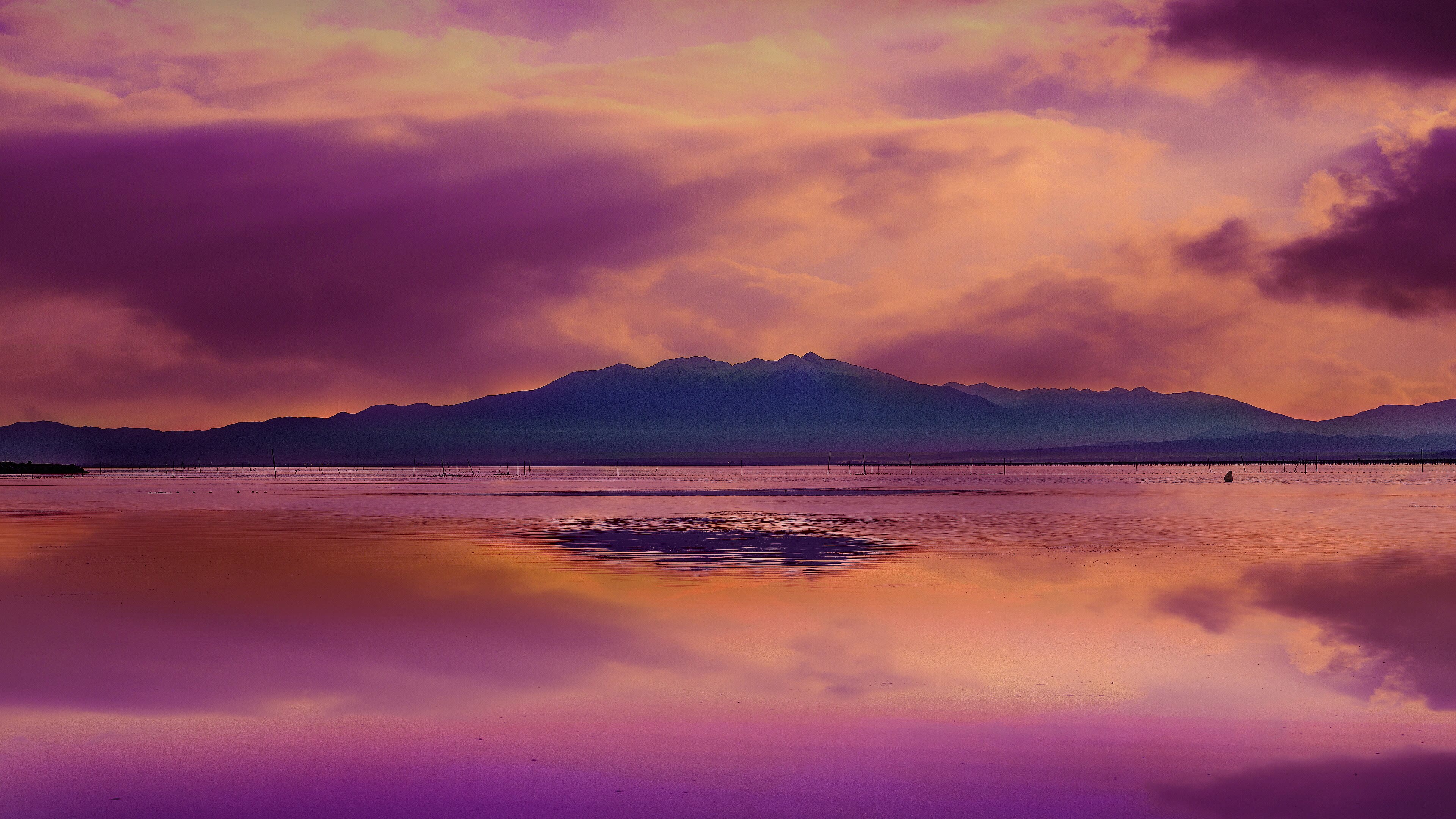
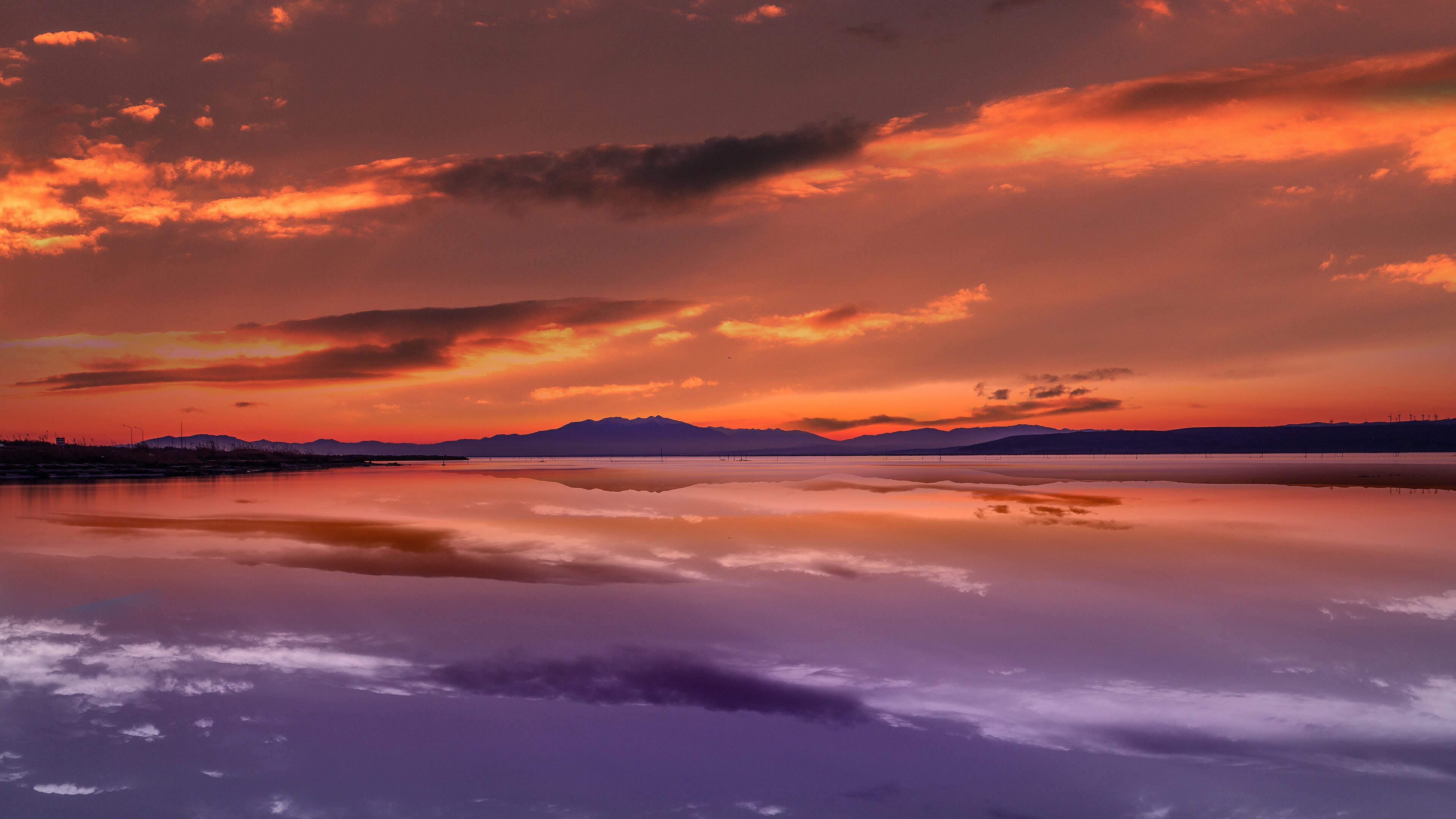
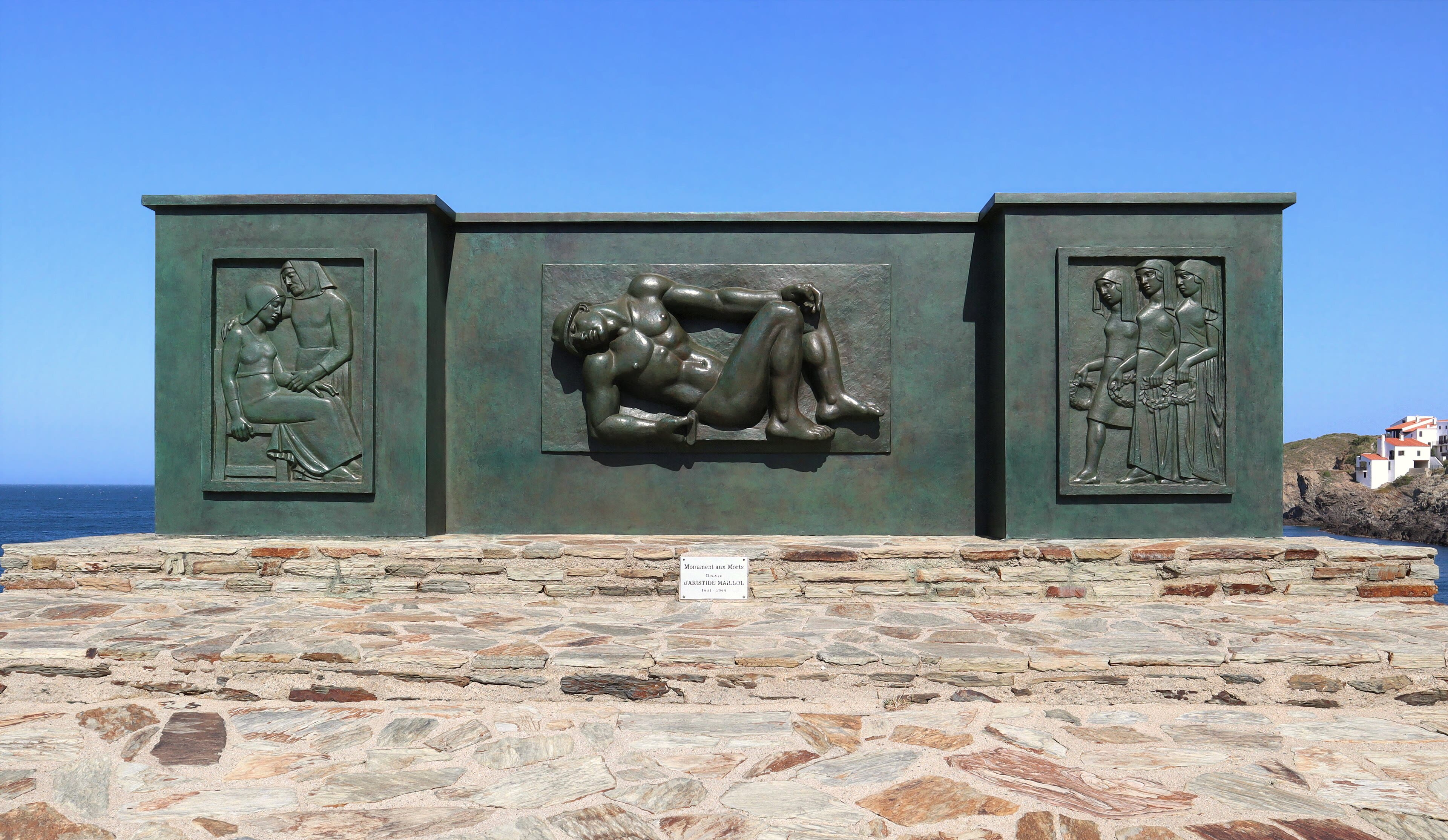
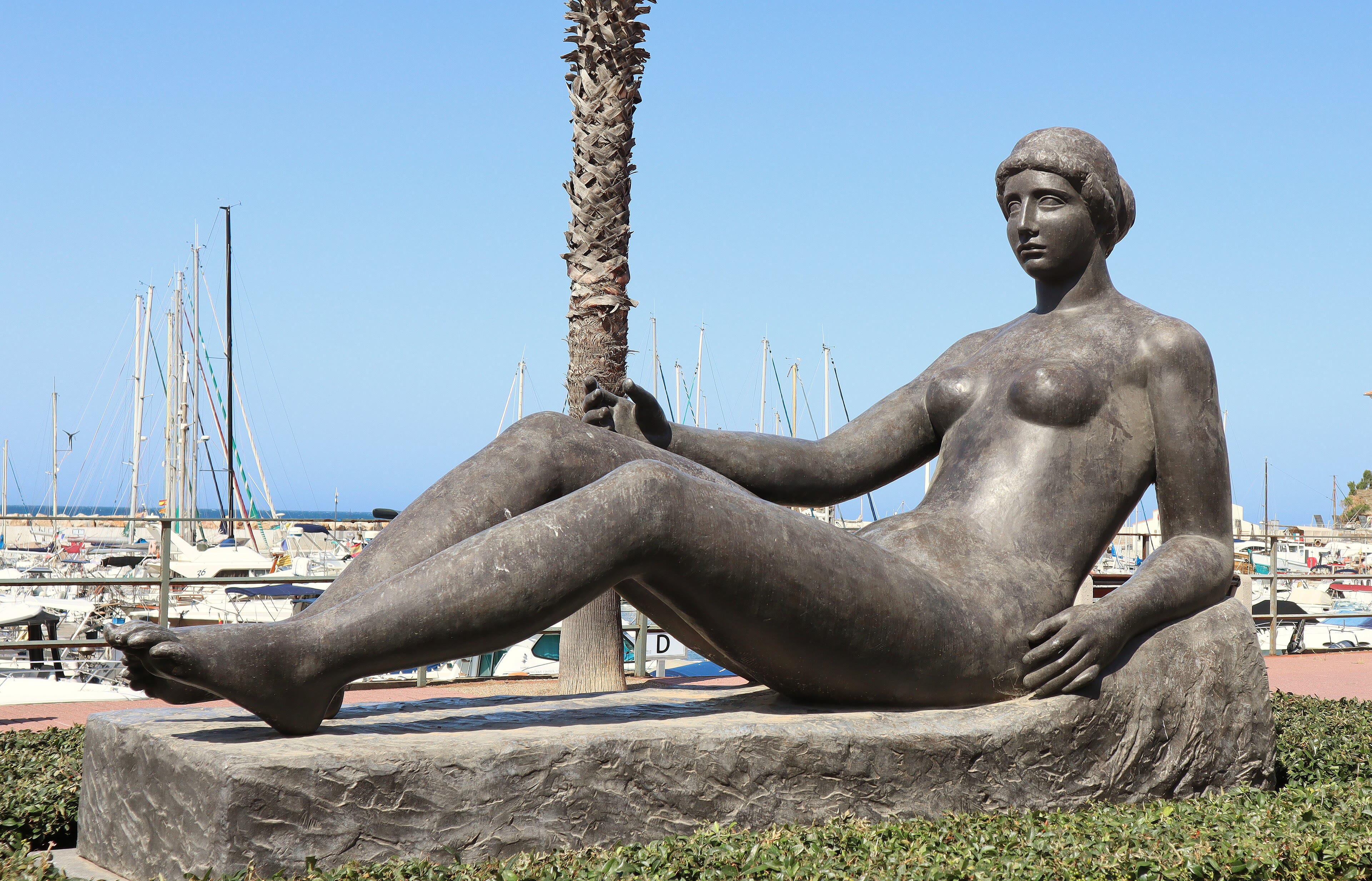
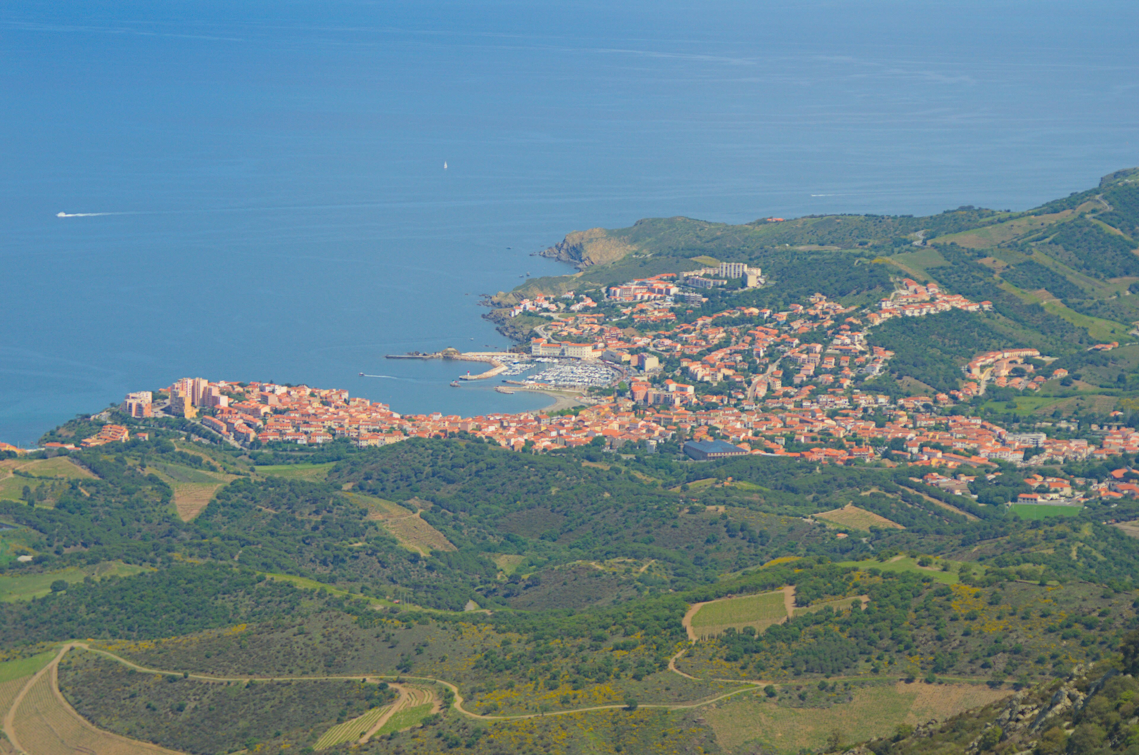
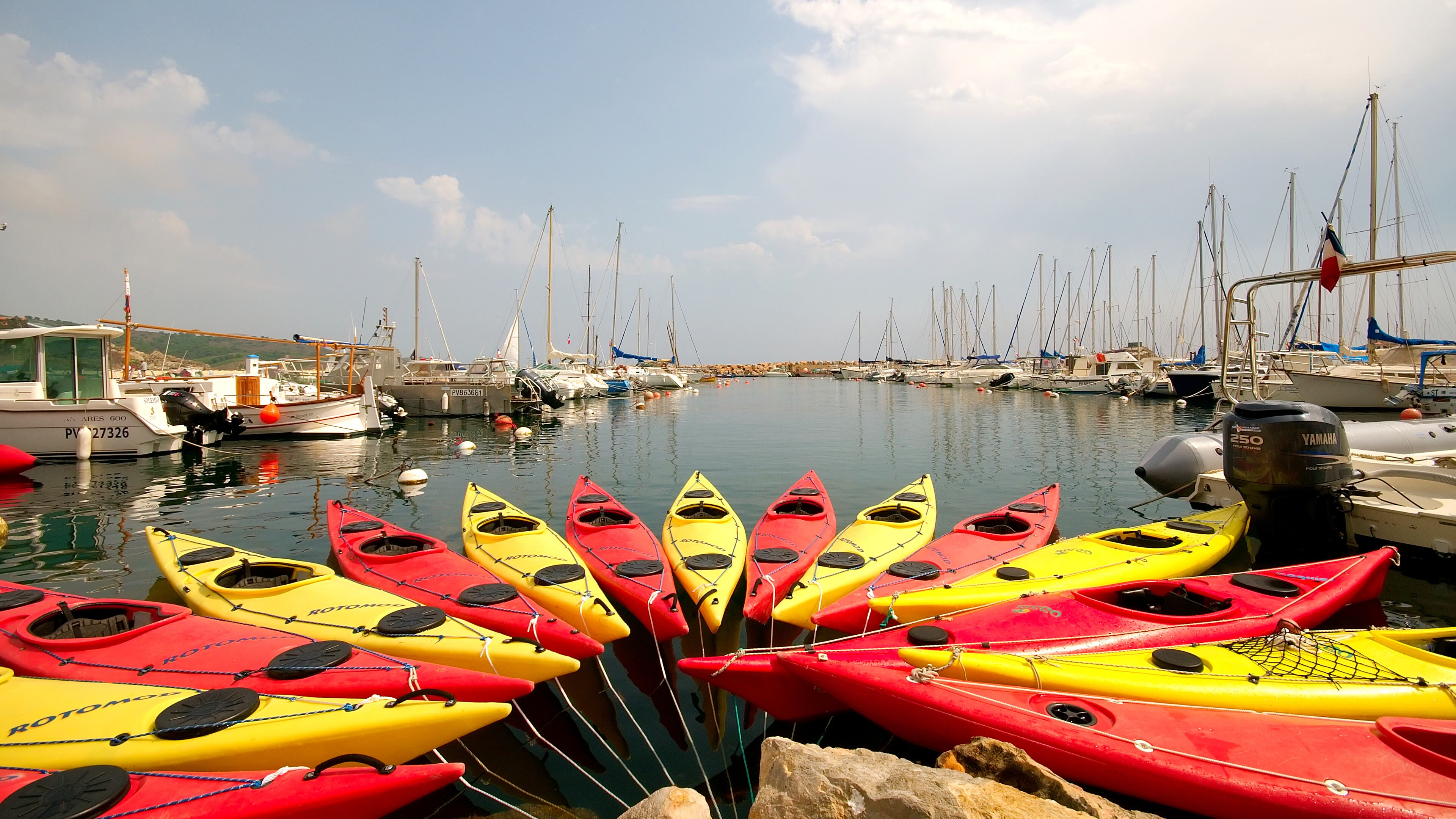
And then, one morning, the trail runs out of mountains. The GR10's last day drops you through vineyards terraced to the sky — the steep slate slopes of Banyuls, where the wine grows almost vertically and the harvest is carried down on men's backs as it has been for centuries — and the Mediterranean is suddenly simply there, at the bottom of the street. Banyuls-sur-Mer is a working harbour town that happens to be beautiful: boats, a marine reserve in its clear water, and the quiet satisfaction of a terminus. Nine hundred kilometres from the Atlantic, your boots are on the same latitude of effort, and your legs know things they did not know at Hendaye. The tradition — my tradition, anyway — is strict: you walk down the slipway, you take off your boots, and you stand in the sea you have been walking towards for six weeks, and you let it be exactly as cold and as kind as it is. Some walkers turn around and walk back. I understand them better every year. But our journey is not finished — it is only changing its tune. Rest tonight, eat by the harbour, and tomorrow we take up a different road: the oldest walk of all, the road to Santiago.
Banyuls — The Other Sea — our interpretation, created from the reference photographs belowReference photographs — Banyuls — The Other Sea · 4 photographs
Chapter Two — The Camino de Santiago
12 scenes · 38 reference photographs
Saint-Jean-Pied-de-Port — The Pilgrim Gate
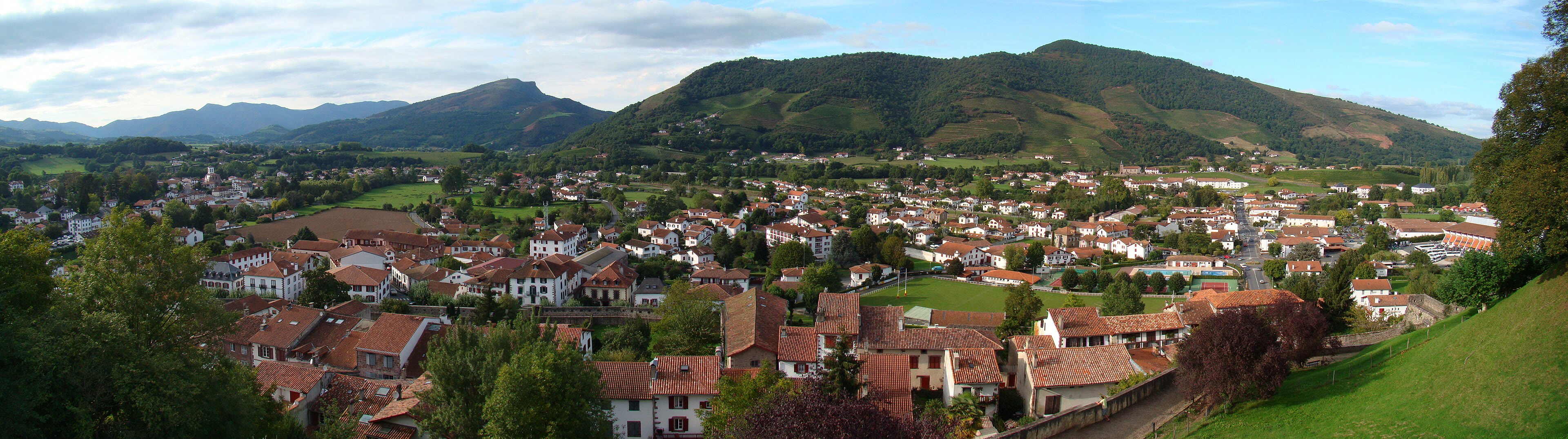
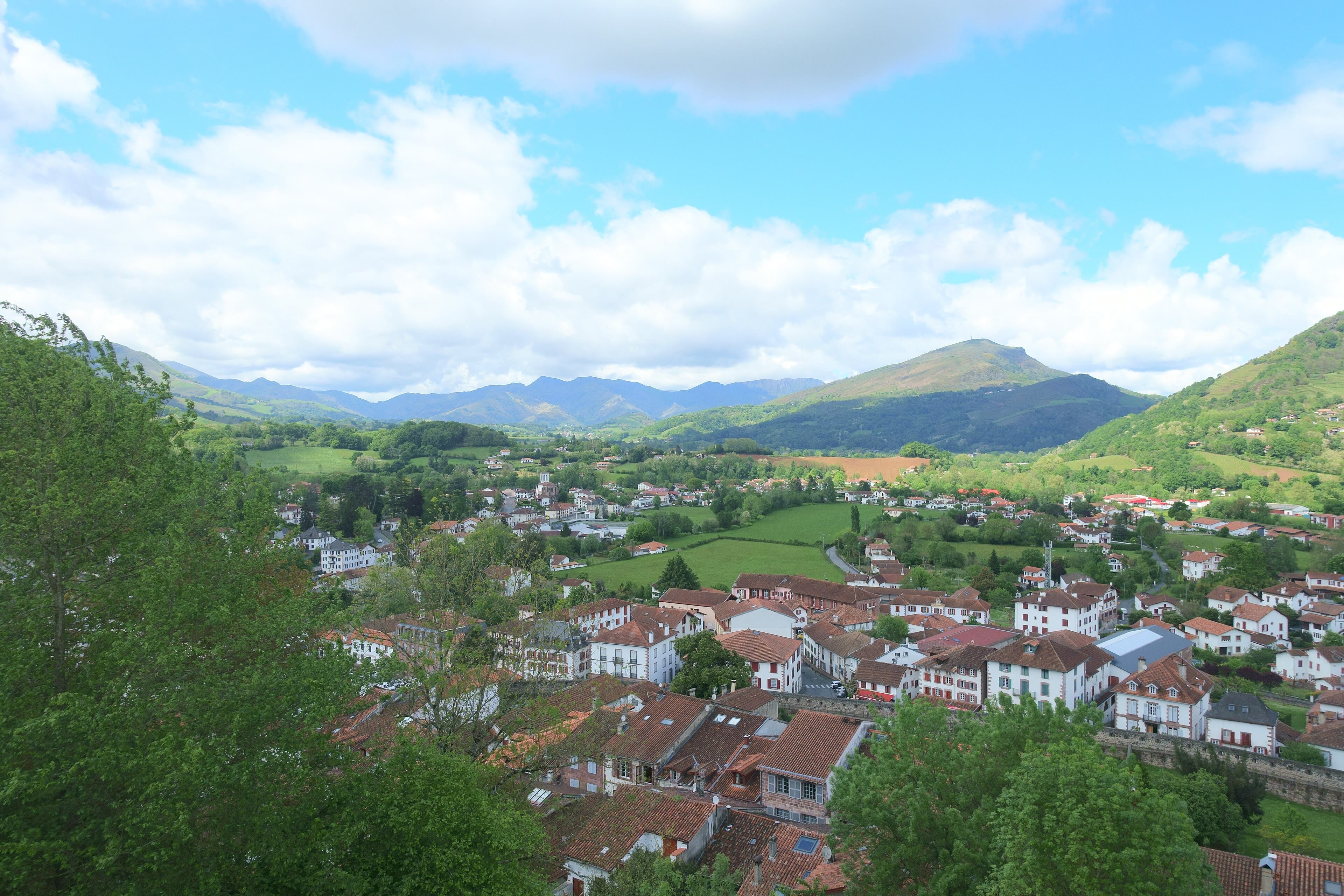
The GR10 ended at the sea; this road begins, as it has for a thousand years, at a gate in a wall in the Pyrenees. Saint-Jean-Pied-de-Port — Saint John at the Foot of the Pass — is a little French town of pink sandstone and shuttered houses on the river Nive, and through its Porte Saint-Jacques, the gate of Saint James, the pilgrims of Europe have poured since the Middle Ages. They still do. Stand by the gate at dawn and you will see them setting out in the blue light: new boots, full packs, scallop shells swinging, faces doing the arithmetic of eight hundred kilometres. The town sells them their last croissants and their first credencial, the pilgrim passport that will gather stamps like a diary all the way to Santiago. I have walked this road in pieces and in one long pull, and I will tell you its secret now, at the start: the Camino is not really about reaching Santiago. It is about what the walking does to you on the way — the slow sanding-down of everything you carried that you did not need. Check your straps, pilgrim. The pass is waiting, and it does not grade on a curve.
See this place in the gallerySaint-Jean-Pied-de-Port — The Pilgrim Gate — our interpretation, created from the reference photographs belowReference photographs — Saint-Jean-Pied-de-Port — The Pilgrim Gate · 4 photographs
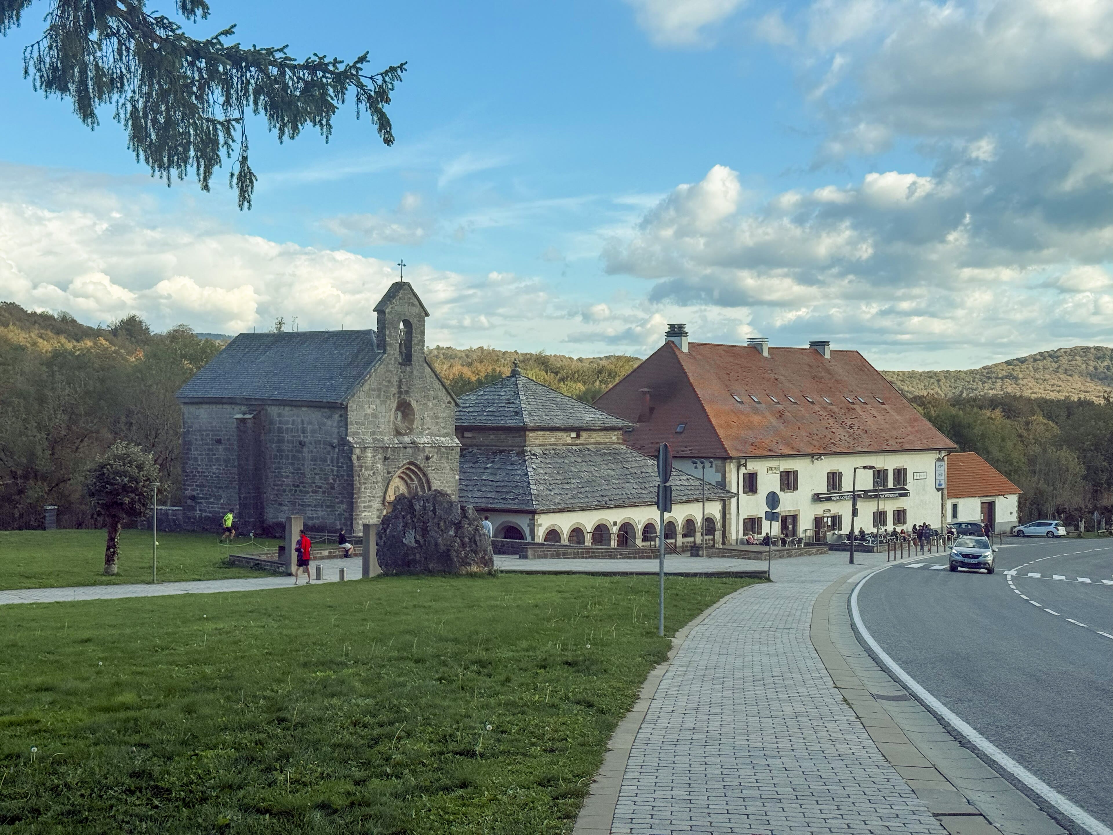
Roncesvalles — Over the Pass
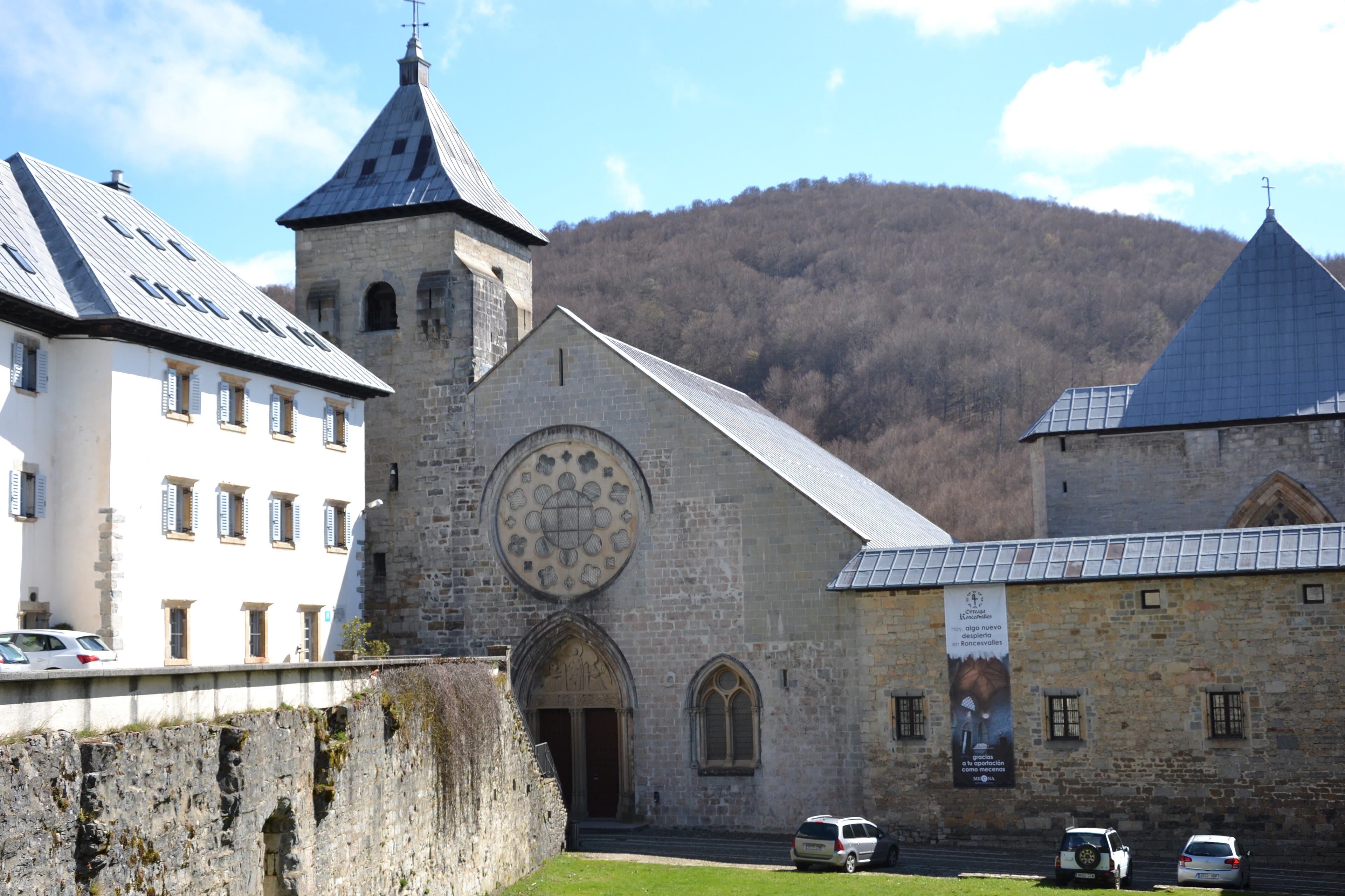
The first day of the Camino Francés is a mountain day, whatever the brochures imply: from Saint-Jean the road climbs over the Lepoeder pass, some twenty kilometres of ascent through beech woods and open sheep country, and comes down — knees singing — to Roncesvalles. There is no town, really. There is a great Augustinian monastery in a green bowl of the Spanish Pyrenees: a collegiate church of stern early Gothic, a cloister, and a hostel that has been taking in exhausted pilgrims since the eleven hundreds. This valley is also soaked in the oldest story of France: somewhere in these high passes, in the year seven hundred and seventy-eight, the rearguard of Charlemagne's army was destroyed, and Roland — the same Roland whose sword-notch we stood beneath at Gavarnie — died with his horn unanswered. History argues about the details; the mountains keep their counsel. What is certain is the feeling of the place at evening: hundreds of walkers at the long tables, the pilgrim blessing in the church, and the peculiar fellowship of people who have all done the same hard thing on the same day. Eat, sleep, and do not set an alarm. The road provides.
See this place in the galleryRoncesvalles — Over the Pass — our interpretation, created from the reference photographs belowReference photographs — Roncesvalles — Over the Pass · 3 photographs
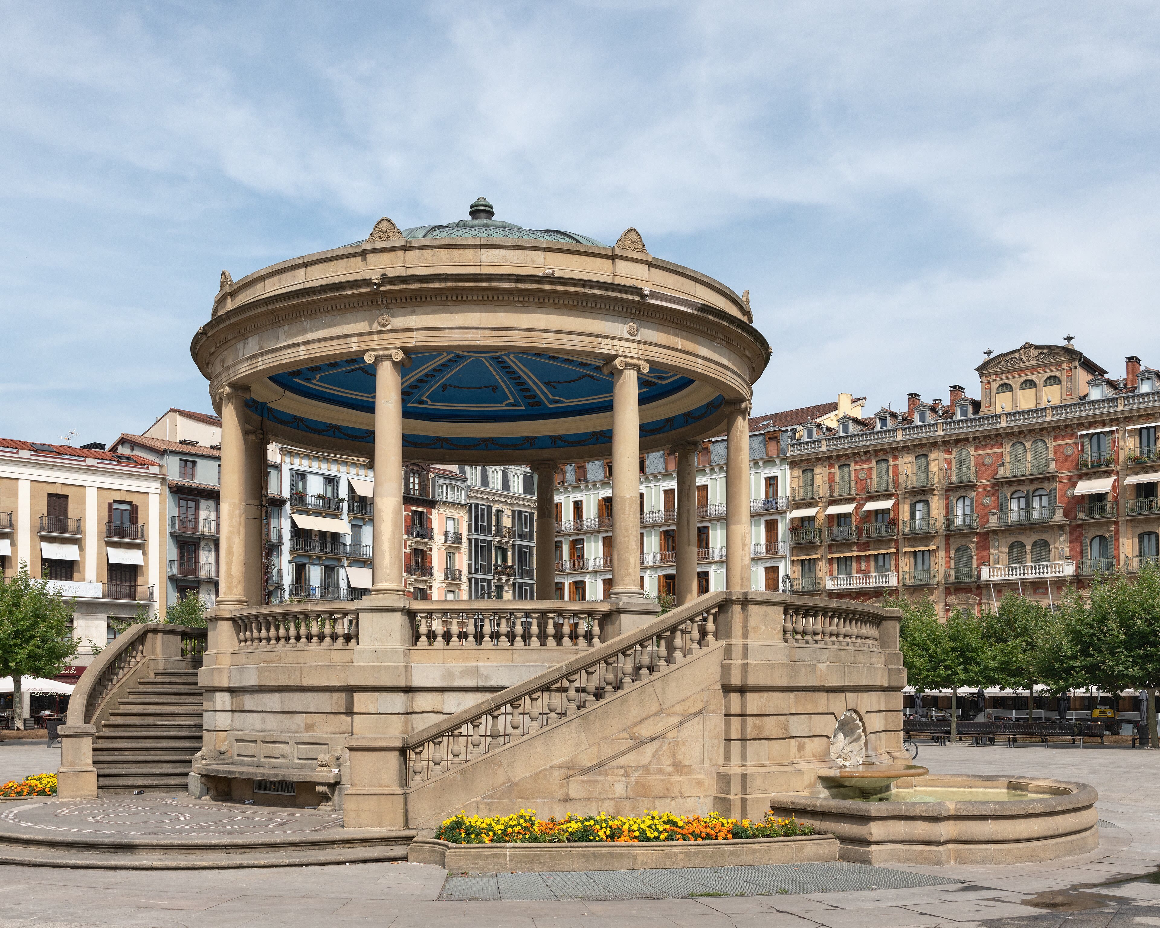
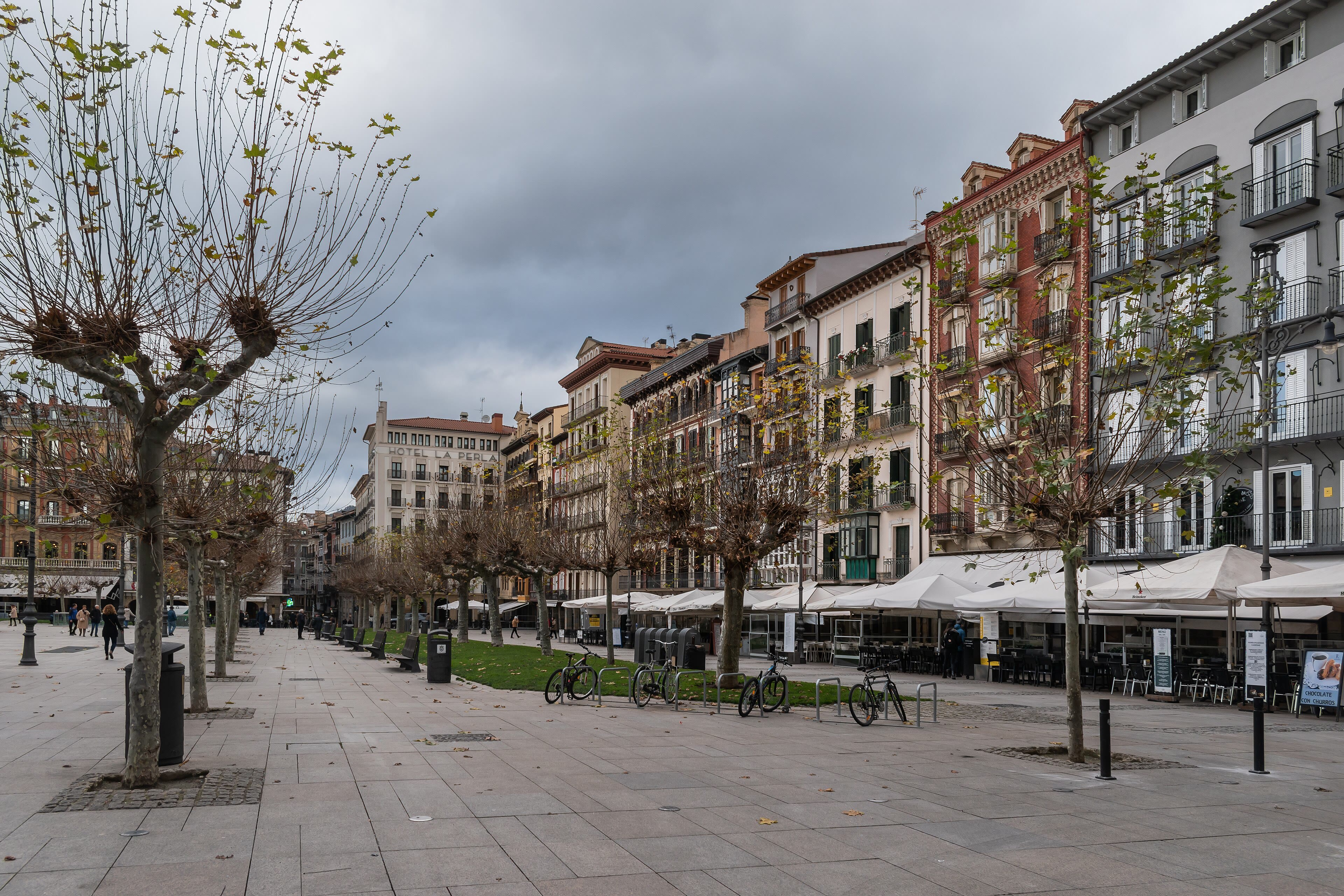
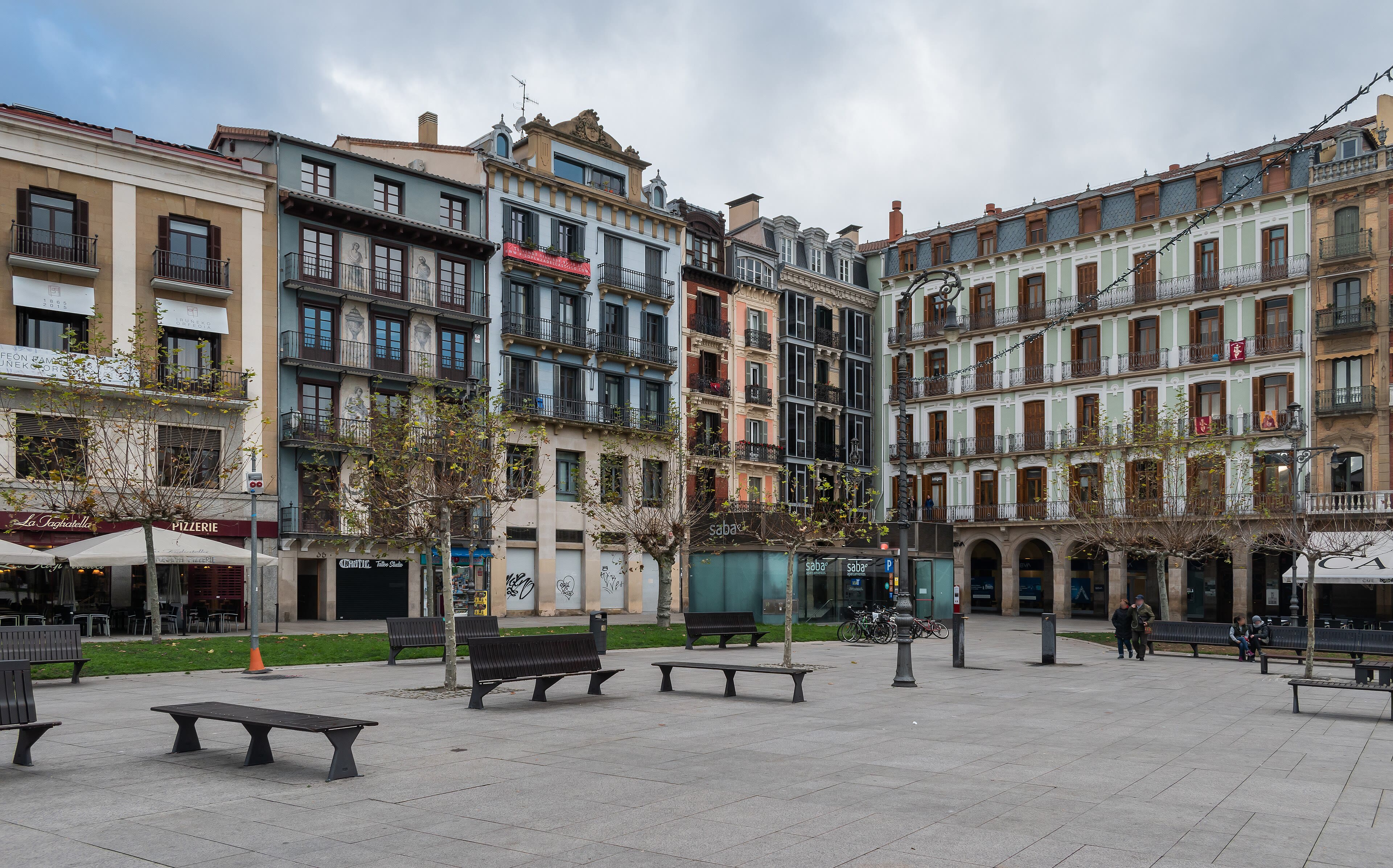
Pamplona — Running With the Bulls’ Ghosts
Three days of Navarre — rivers, oak woods, and Roman bridges — bring the road down out of the hills to Pamplona, and the Camino puts on city clothes. This is Hemingway's town, and the fiesta of San Fermín still owns July: for nine days the encierro runs bulls through these streets at eight in the morning, a tradition as thrilling and as argued-about as anything in Spain. The pilgrim meets a quieter Pamplona: the great citadel Vauban would have envied, the café tables of the Plaza del Castillo, the cathedral's calm cloister, and bars doing serious work with pintxos and Navarra wine. Walk the route of the encierro at a pilgrim's pace — from the corrals at Santo Domingo, up to the town hall, down Estafeta to the bullring — and it takes twelve gentle minutes. The runners do it in under three, with the horns behind them. Both are ways of knowing a street. Yours allows for coffee. The Camino teaches a rhythm early: walk in the morning, arrive by early afternoon, wash your socks, and let the town happen to you. Pamplona happens generously. Sleep early anyway. The road west is long, golden, and beginning to roll.
See this place in the galleryPamplona — Running With the Bulls’ Ghosts — our interpretation, created from the reference photographs belowReference photographs — Pamplona — Running With the Bulls’ Ghosts · 3 photographs
Puente la Reina — Where the Roads Join
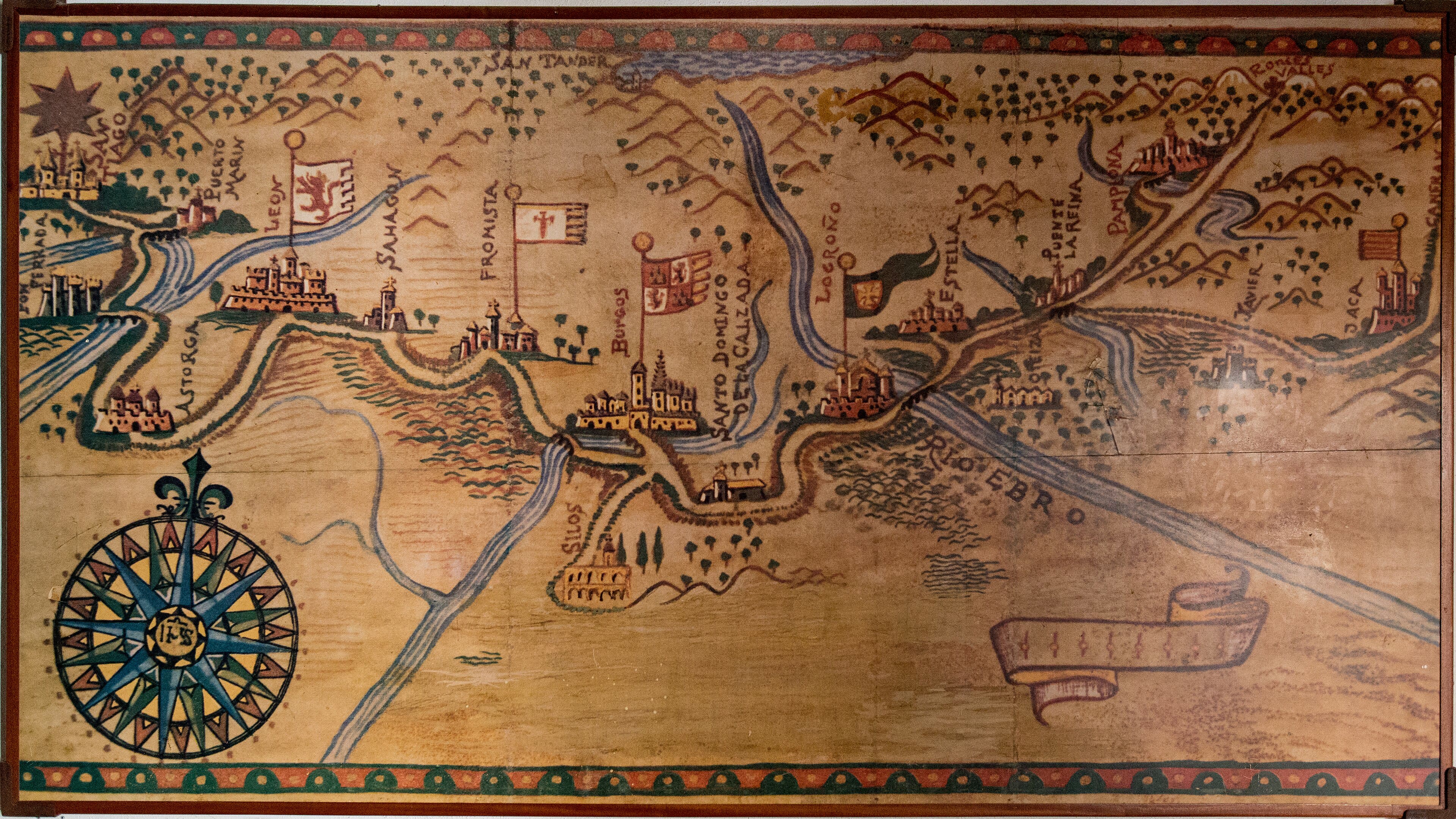
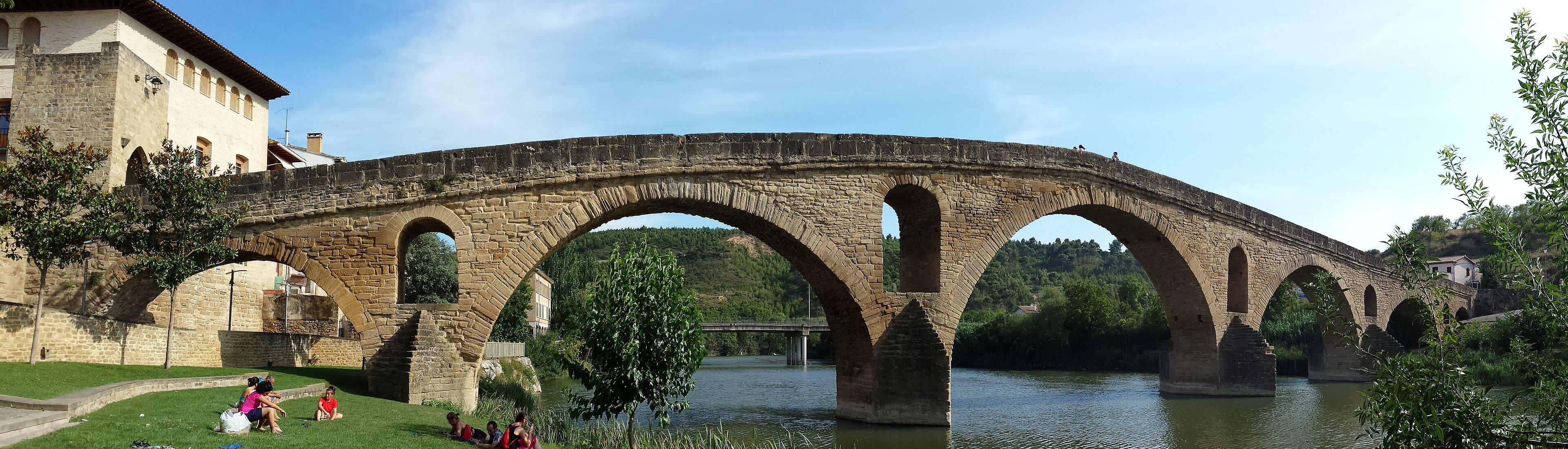
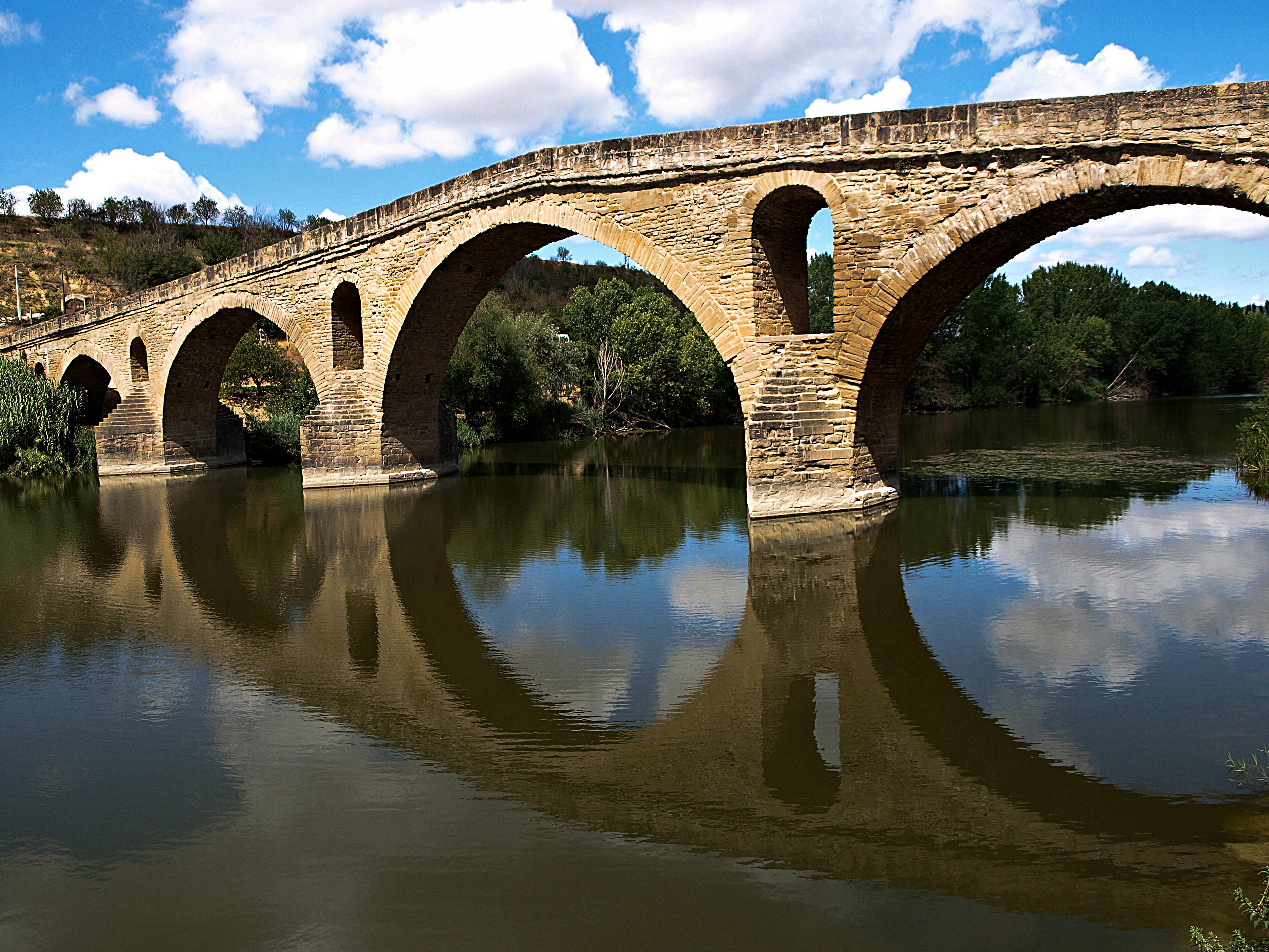
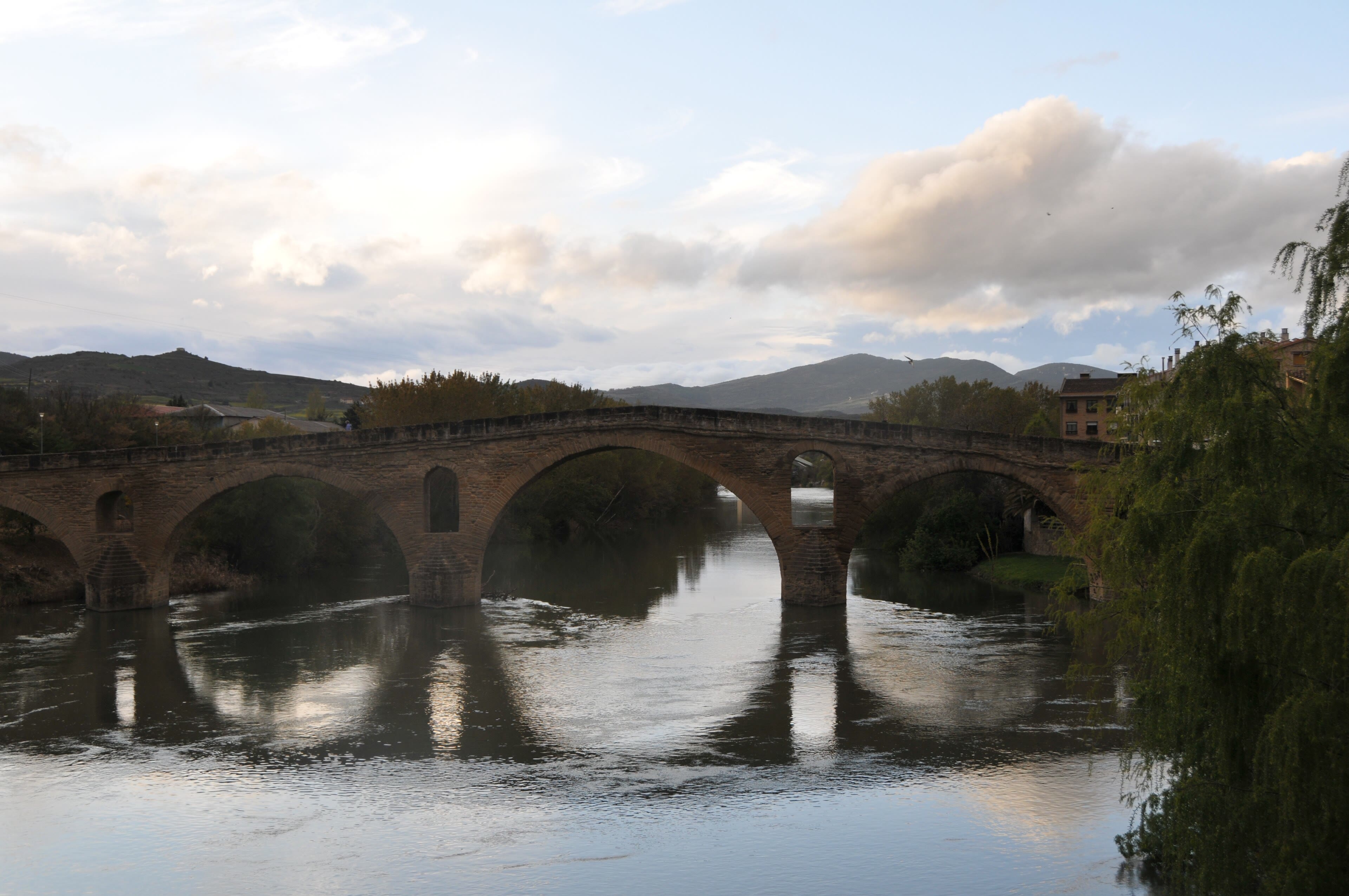
Some places exist because a road needed them, and Puente la Reina is the Camino's own creation. Here, in the eleventh century, a queen of Navarre — her name is lost to argument, her bridge is not — threw six perfect Romanesque arches across the river Arga so that pilgrims would stop drowning in the ferry crossing. The bridge still carries every walker on the Camino Francés, and it carries them out of a town that is essentially one long pilgrim street: the Calle Mayor, lined with the houses, churches and hostel doors of nine hundred years of passing feet. Just before the town, something quietly important happens: the road from the Somport pass — the Camino Aragonés, the other great Pyrenean crossing — comes down out of the hills and joins this one. From the monument where they merge, there is only one Camino, one river of walkers flowing west. I like to stop on the queen's bridge at the hour when the light goes amber on the water, and watch the day's pilgrims cross — every nation, every age, every reason under the sun, all of them held up by six arches built by a woman whose name we lost. The road remembers what history forgets.
See this place in the galleryPuente la Reina — Where the Roads Join — our interpretation, created from the reference photographs belowReference photographs — Puente la Reina — Where the Roads Join · 3 photographs
Estella to Logroño — Wine Country
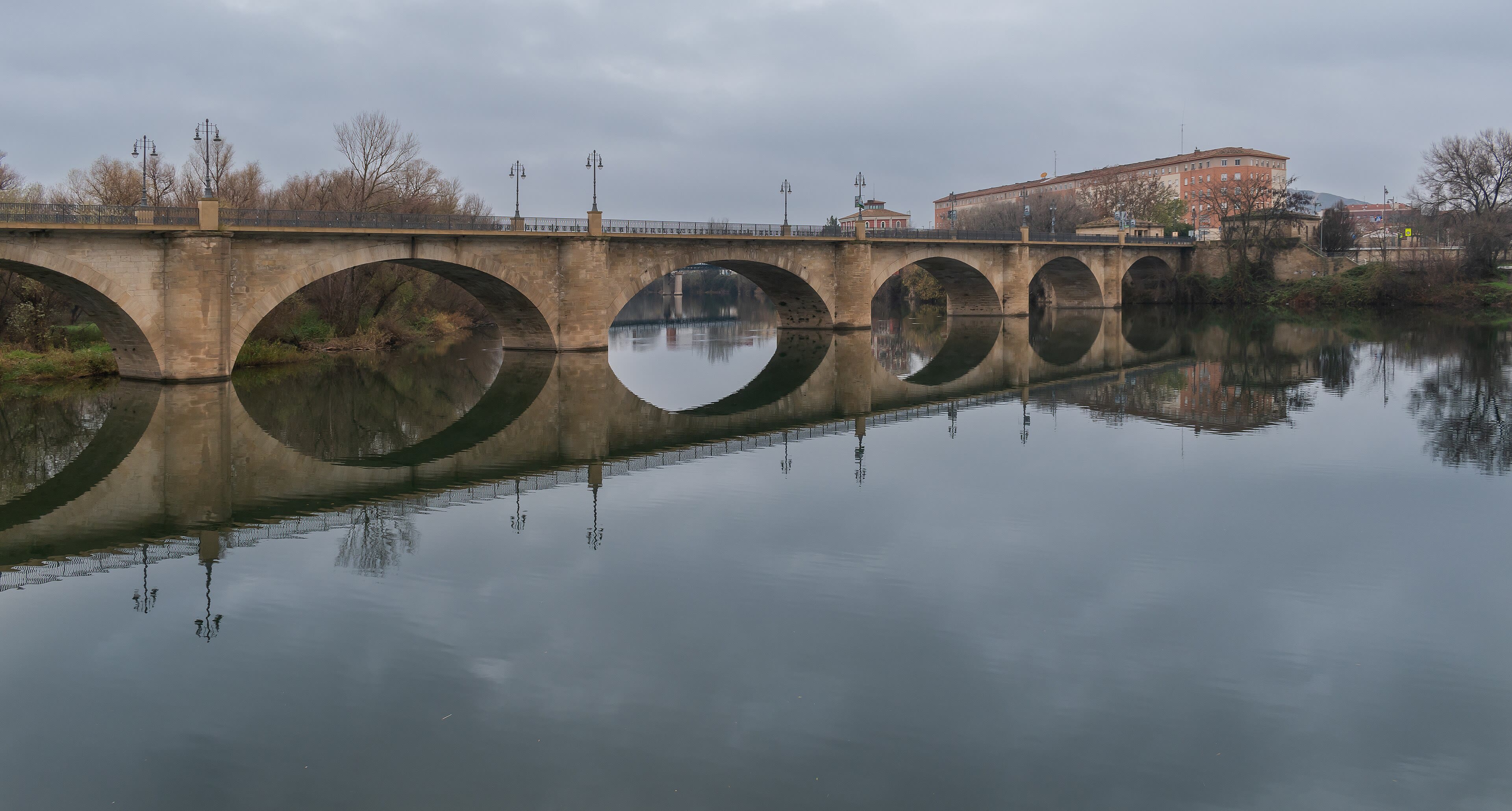
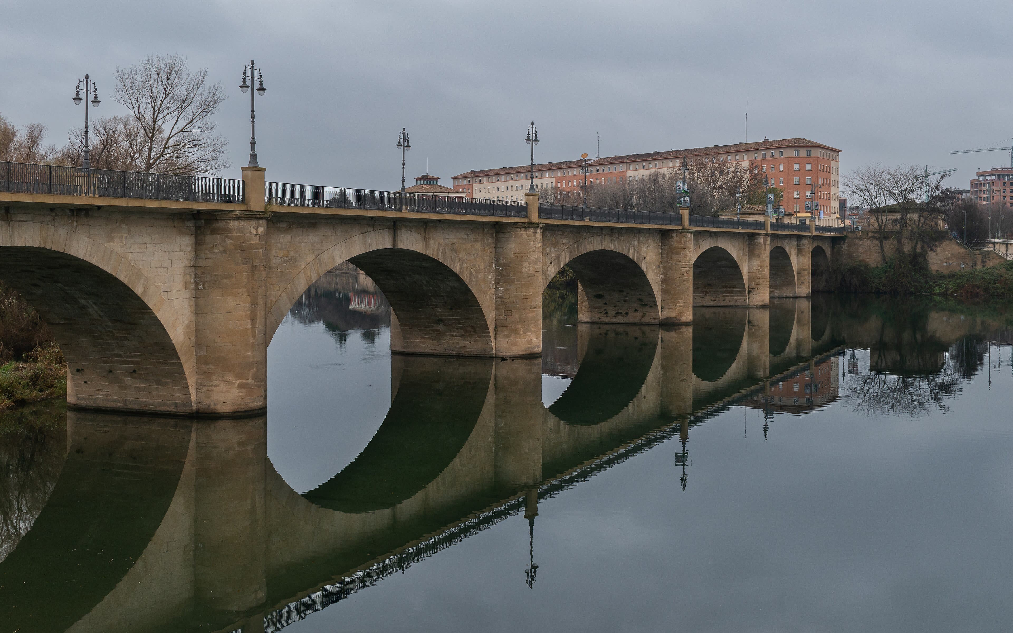
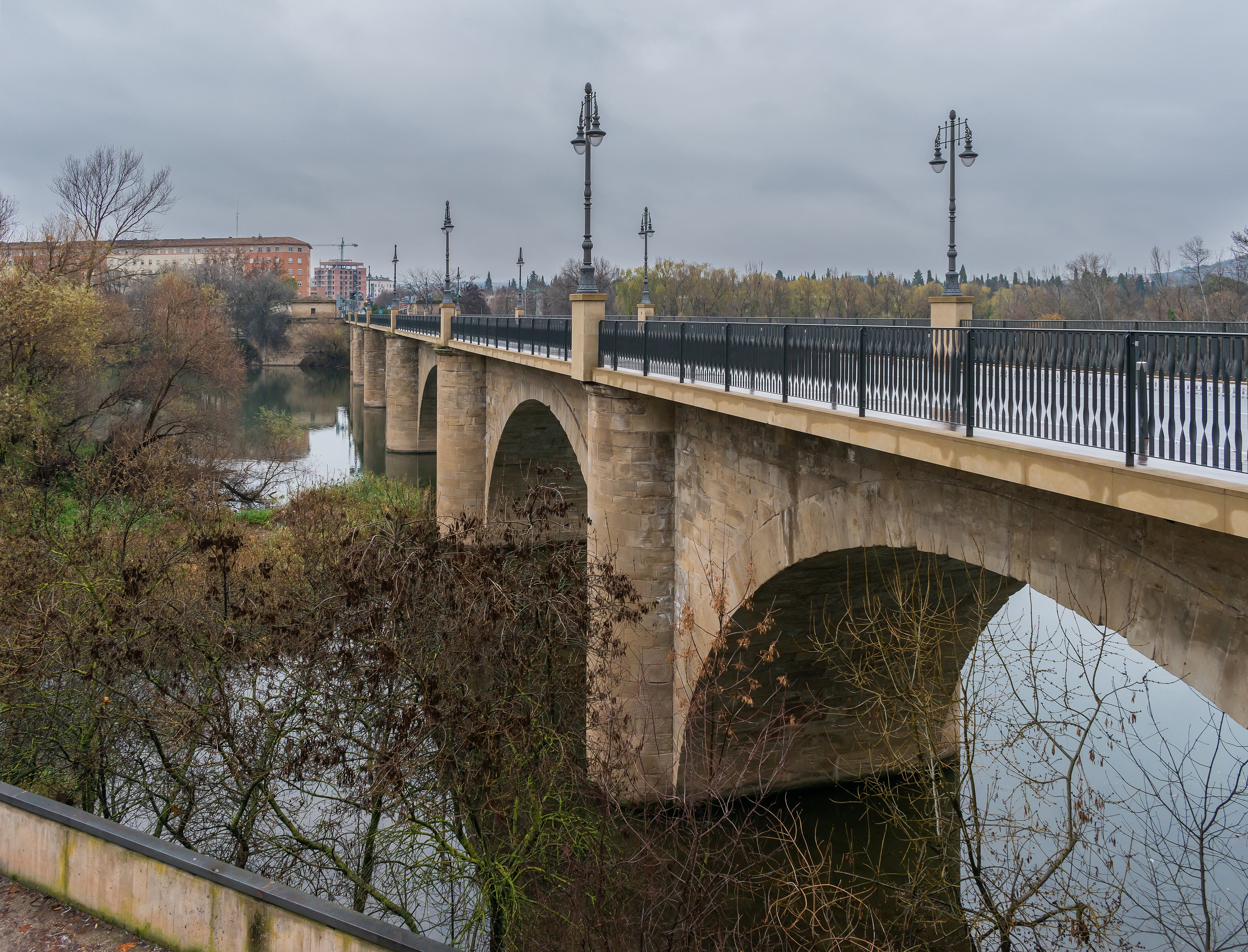
West of Puente la Reina the Camino settles into its long Spanish rhythm: a Roman road's memory under your boots, red earth, olive groves, and vineyards beginning their endless argument with the horizon. Estella comes first — a town the pilgrims' guides praised in the Middle Ages and the road still loves, with its palaces and its church of San Pedro raised like a fortress over the river Ega. Beyond it, by the monastery of Irache, stands one of the Camino's small perfections: a fountain built into a winery wall that pours — and I give you my word this is real — wine as well as water, free to passing pilgrims, as it has since nineteen ninety-one. Fill one shell, no more; the road after wine is longer than the road before it. Then the land opens into La Rioja, and Logroño receives you across the Ebro on a bridge of stone: a working, eating, drinking city, famous for the Calle Laurel, a lane of bars each with one perfect tapa. The pilgrim rule holds even here — especially here: arrive early, eat gloriously, sleep early. Castile is ahead, and the meseta does not pour wine.
See this place in the galleryEstella to Logroño — Wine Country — our interpretation, created from the reference photographs belowReference photographs — Estella to Logroño — Wine Country · 3 photographs
Santo Domingo de la Calzada — The Saint Who Built the Road
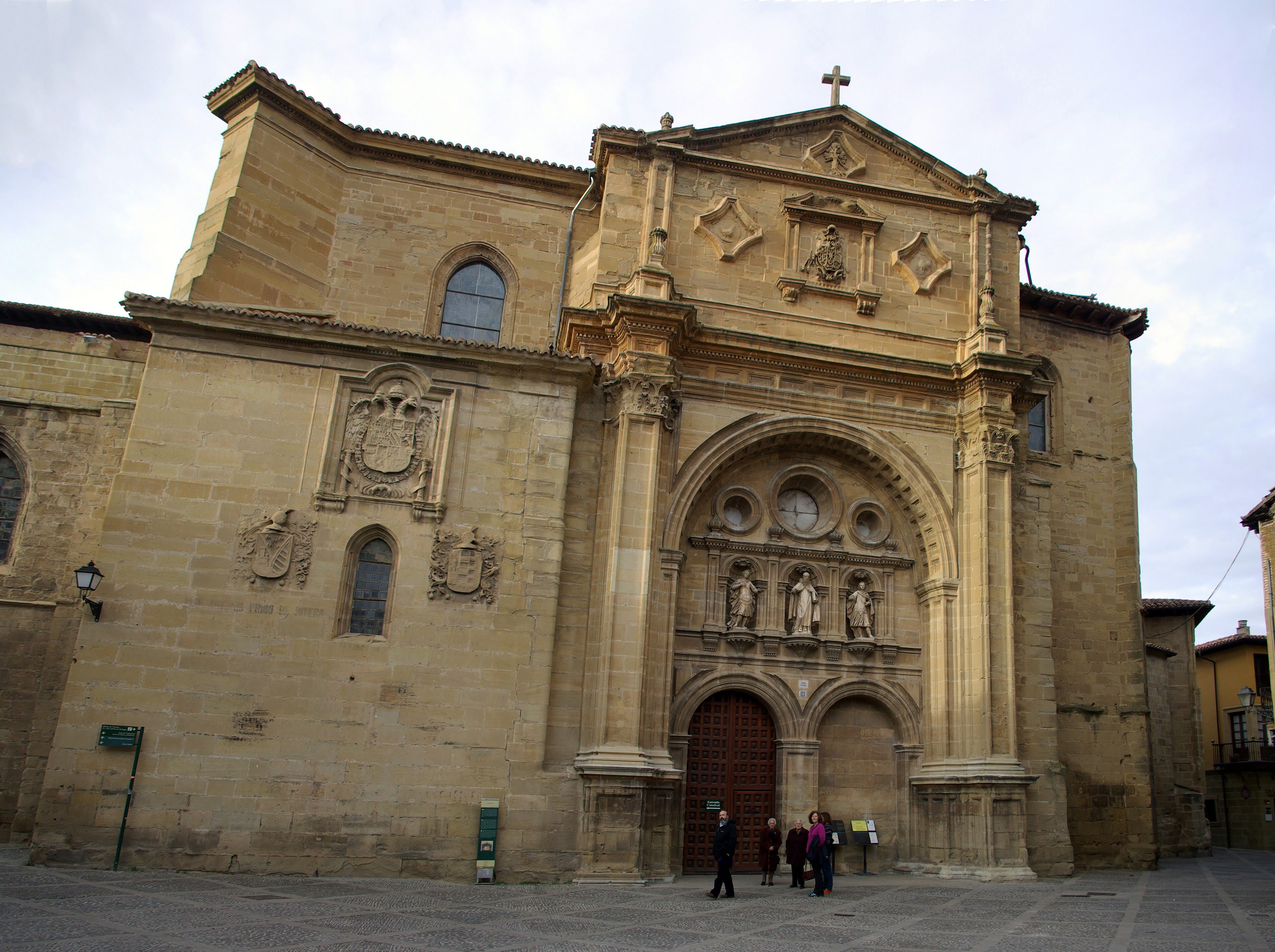
Most saints are remembered for miracles. Santo Domingo is remembered for infrastructure. In the eleventh century, when this stretch of the road to Santiago was bandit country and river crossings killed pilgrims every season, a hermit named Domingo took it personally: he built a causeway — a calzada — across the marshes, raised a bridge over the Oja, founded a hostel and a church, and spent his life making the road safer for strangers he would never meet. The town that grew around his work bears his job title: Santo Domingo de la Calzada, Saint Dominic of the Causeway. His cathedral keeps his tomb, his memory — and, famously, a pair of live hens in a coop above the nave, honouring the old story of a wrongly hanged pilgrim saved by the saint and a roasted chicken that came back to life to prove it. That is legend, told as legend, and the hens are real and gloriously unimpressed. I stop here every time, whatever my schedule says. A road remembers its builders. And every albergue bunk, every waymark, every fountain since Domingo is just his idea, still working: the way is made by the people who maintain it for others.
See this place in the gallerySanto Domingo de la Calzada — The Saint Who Built the Road — our interpretation, created from the reference photographs belowReference photographs — Santo Domingo de la Calzada — The Saint Who Built the Road · 3 photographs
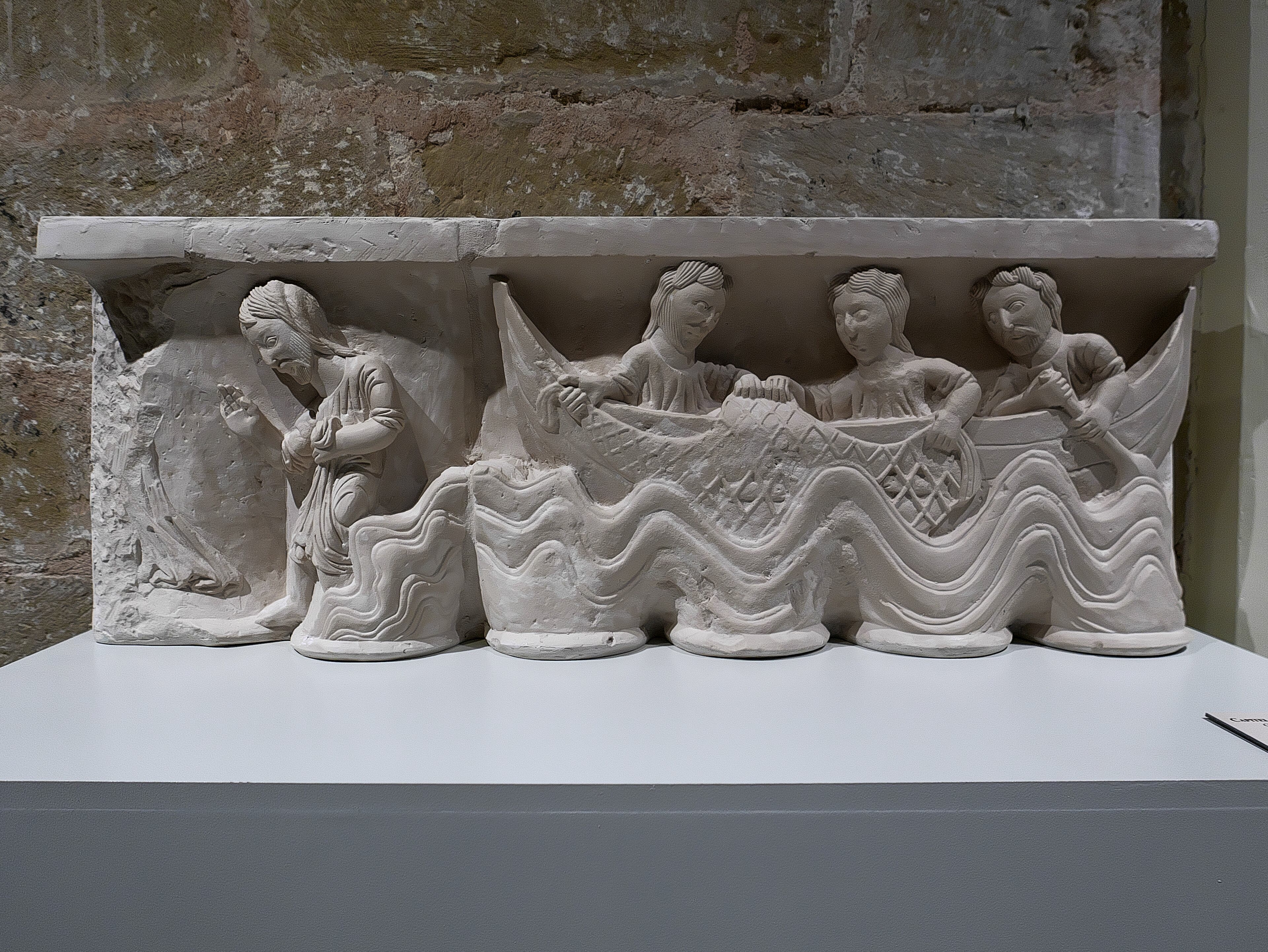
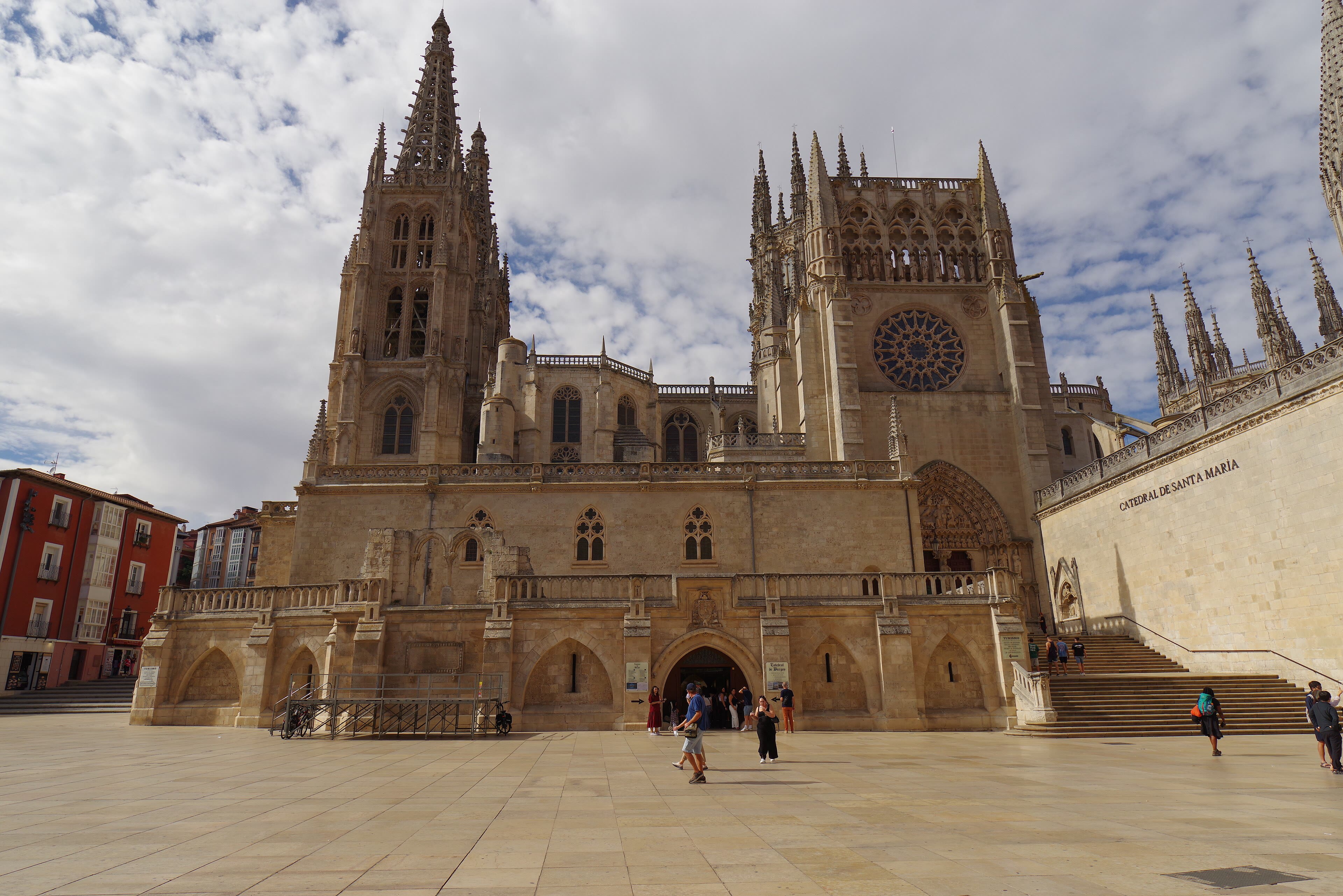
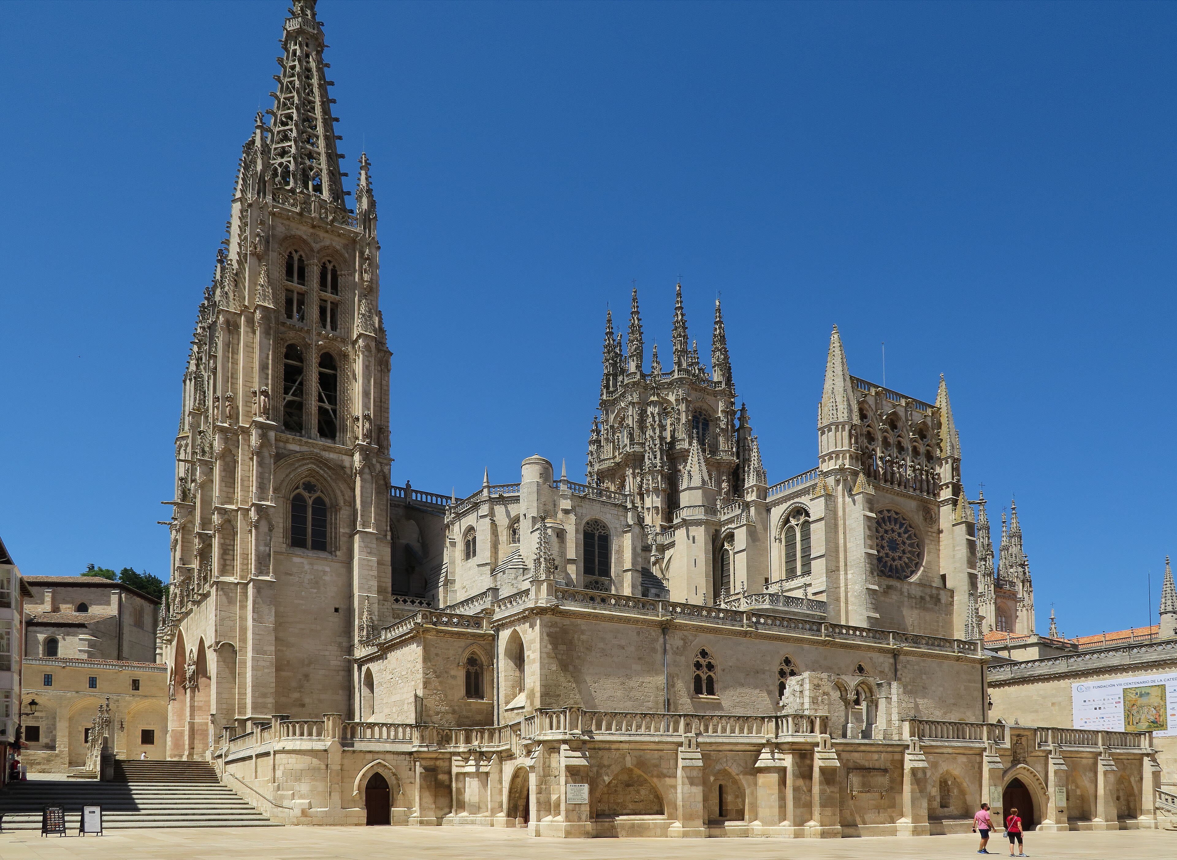
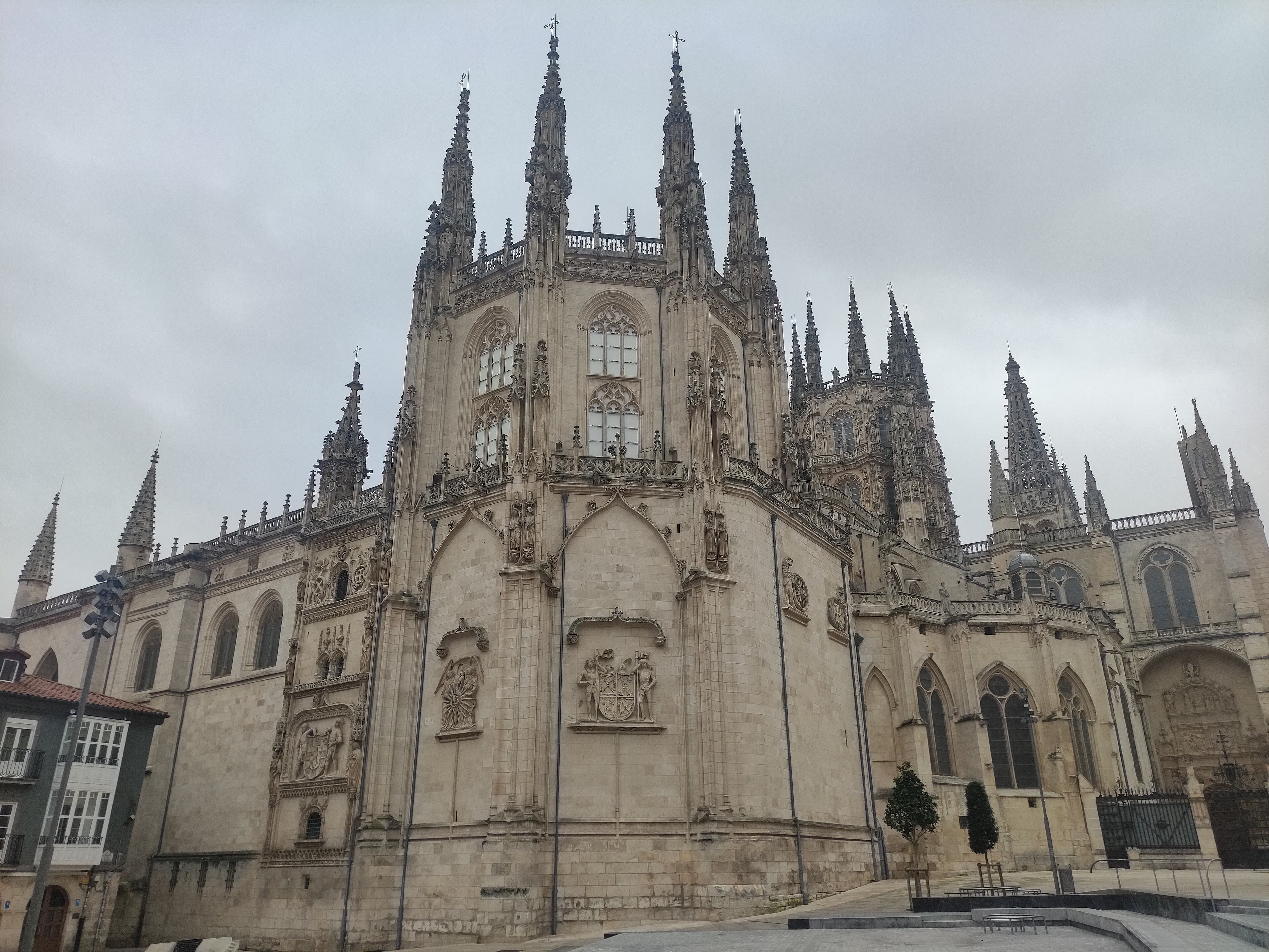
Burgos — The Cathedral and the Cold
The Camino enters Burgos the way it should enter all great cities: on foot, along a river, with the spires growing for an hour before the streets begin. Burgos Cathedral is one of the supreme Gothic buildings of Spain — begun in twelve twenty-one, raised in pale stone and openwork spires, and filled with the kind of art that makes walkers whisper involuntarily: the star-vaulted dome over the crossing, the gilded Escalera Dorada staircase, the tomb of El Cid and Doña Jimena under the lantern. El Cid belongs to this city — born up the road at Vivar, buried here, and riding his bronze horse in the square by the river — and Burgos wears its medieval greatness the way old soldiers wear scars, without discussion. It is also, famously, the coldest city on the Camino: nine months of winter, the locals say, and three of hell, and the walker arriving in any month but August will learn why the bars serve their lechazo and morcilla with such conviction. Rest here if your legs allow the luxury. What waits west of Burgos is the meseta — the great high tableland of Castile — and it is the Camino's examination of conscience.
See this place in the galleryBurgos — The Cathedral and the Cold — our interpretation, created from the reference photographs belowReference photographs — Burgos — The Cathedral and the Cold · 3 photographs
The Meseta to León — The Long Golden Silence
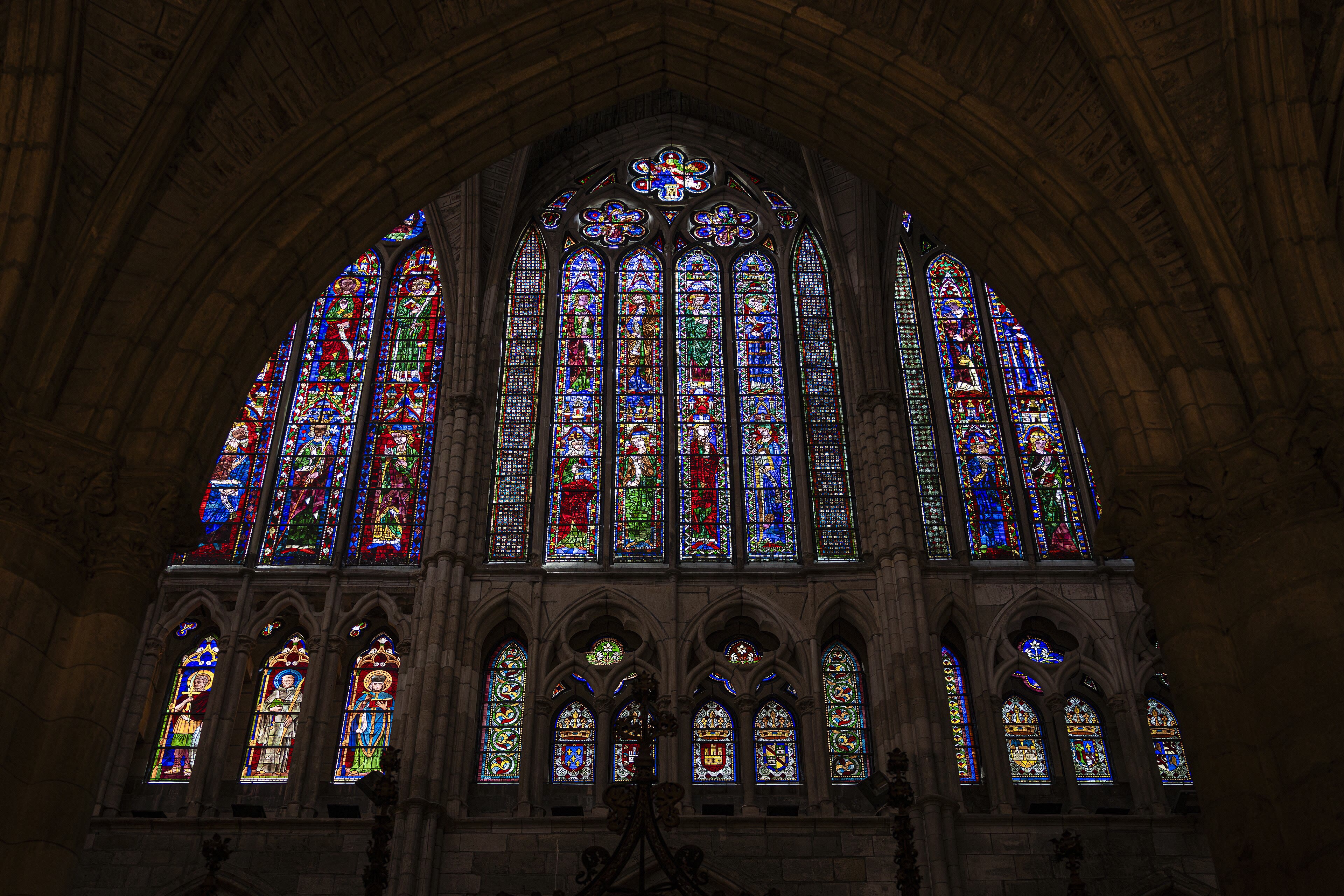
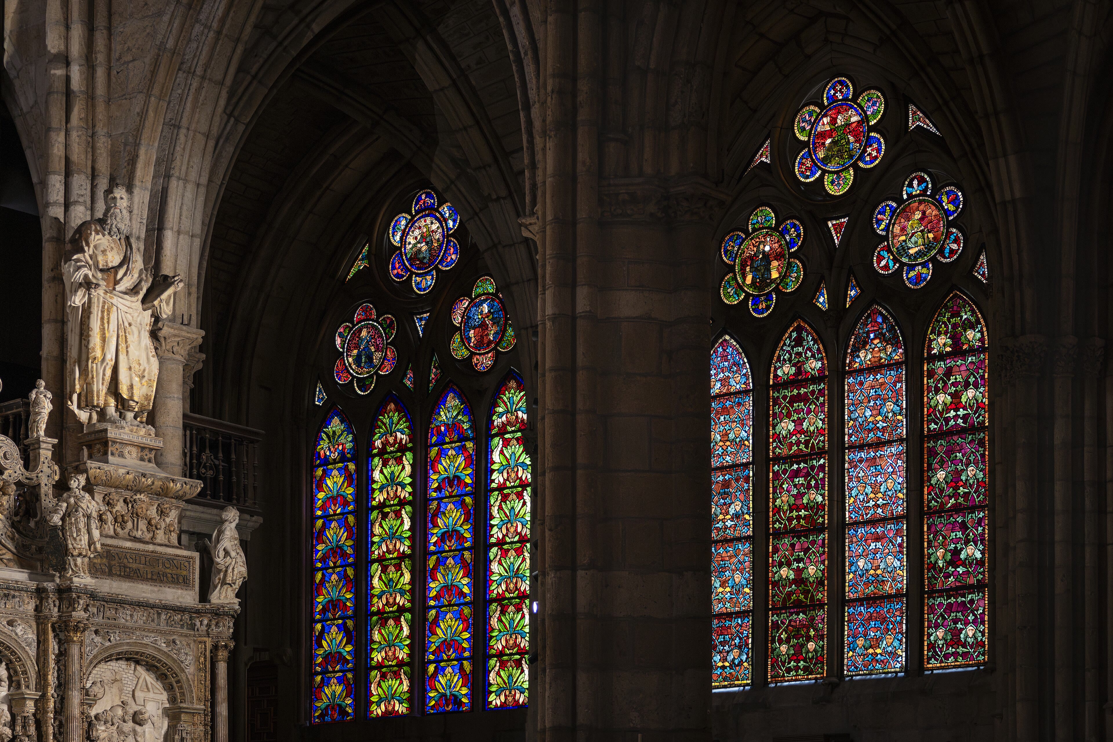
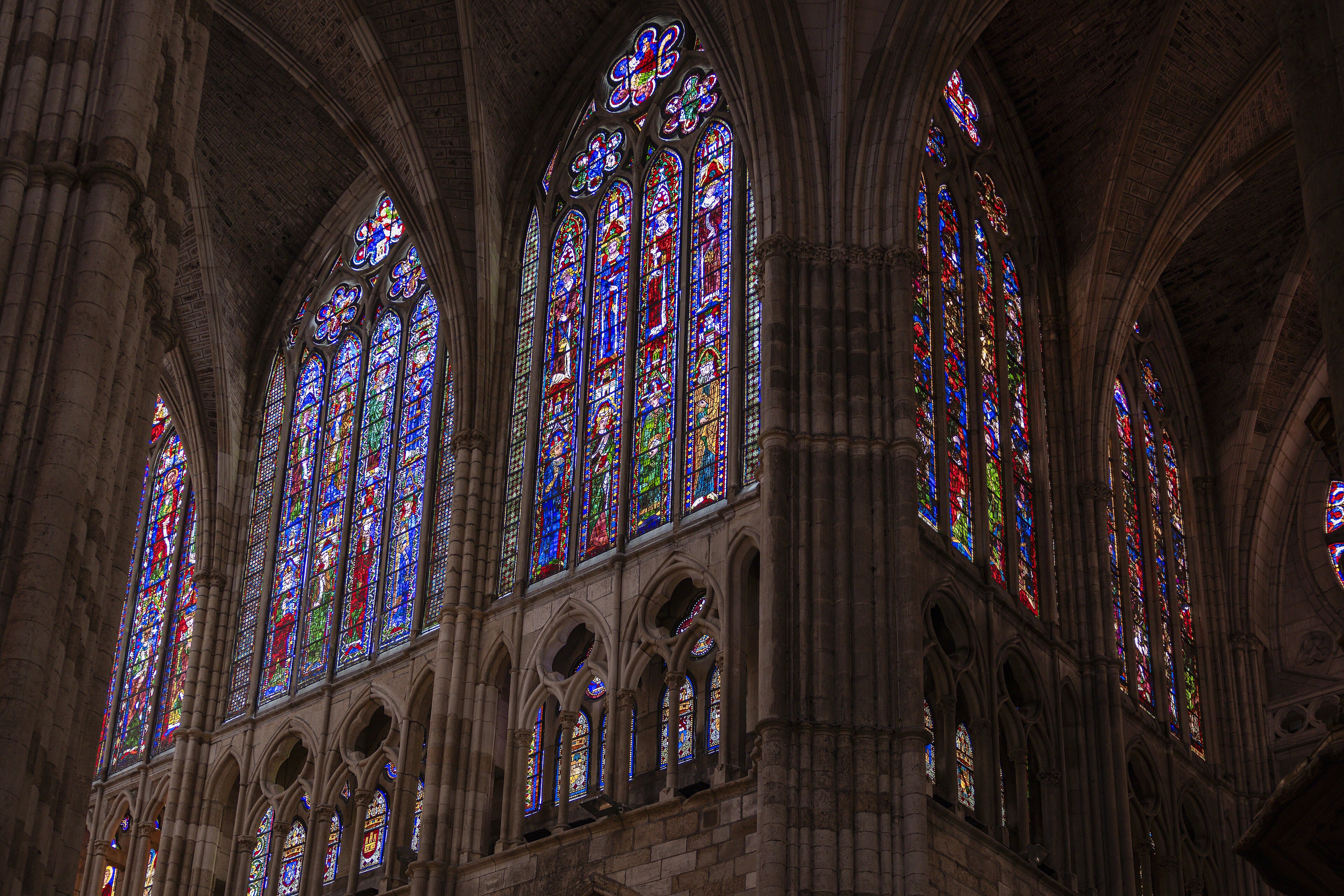
And so to the meseta: two hundred kilometres of high Castilian tableland between Burgos and León, where the Camino becomes less a walk through places than a walk through your own head. The horizon runs away to a ruler's edge. Wheat, sky, a white road, a village of twenty houses every ten kilometres with one bar and a church tower; larks overhead doing the only talking. Pilgrims divide over the meseta the way sailors divide over calms — some skip it by bus and feel cheated forever; some walk it and speak of it for the rest of their lives with strange gratitude. The trick is surrender: walk early against the heat, take the shade when it offers, and let the days flatten into one long golden meditation. Then, when your eyes have forgotten what a city is, León rises out of the plain like a reprieve: a Roman legion's town with a cathedral that is essentially a cage for coloured light — among the greatest walls of medieval stained glass in Europe — and a old quarter that celebrates your arrival with tapas you don't pay for, served free with every drink, as León has always done. You have earned both the glass and the tapas.
See this place in the galleryThe Meseta to León — The Long Golden Silence — our interpretation, created from the reference photographs belowReference photographs — The Meseta to León — The Long Golden Silence · 3 photographs
Astorga and the Cruz de Ferro — Laying It Down
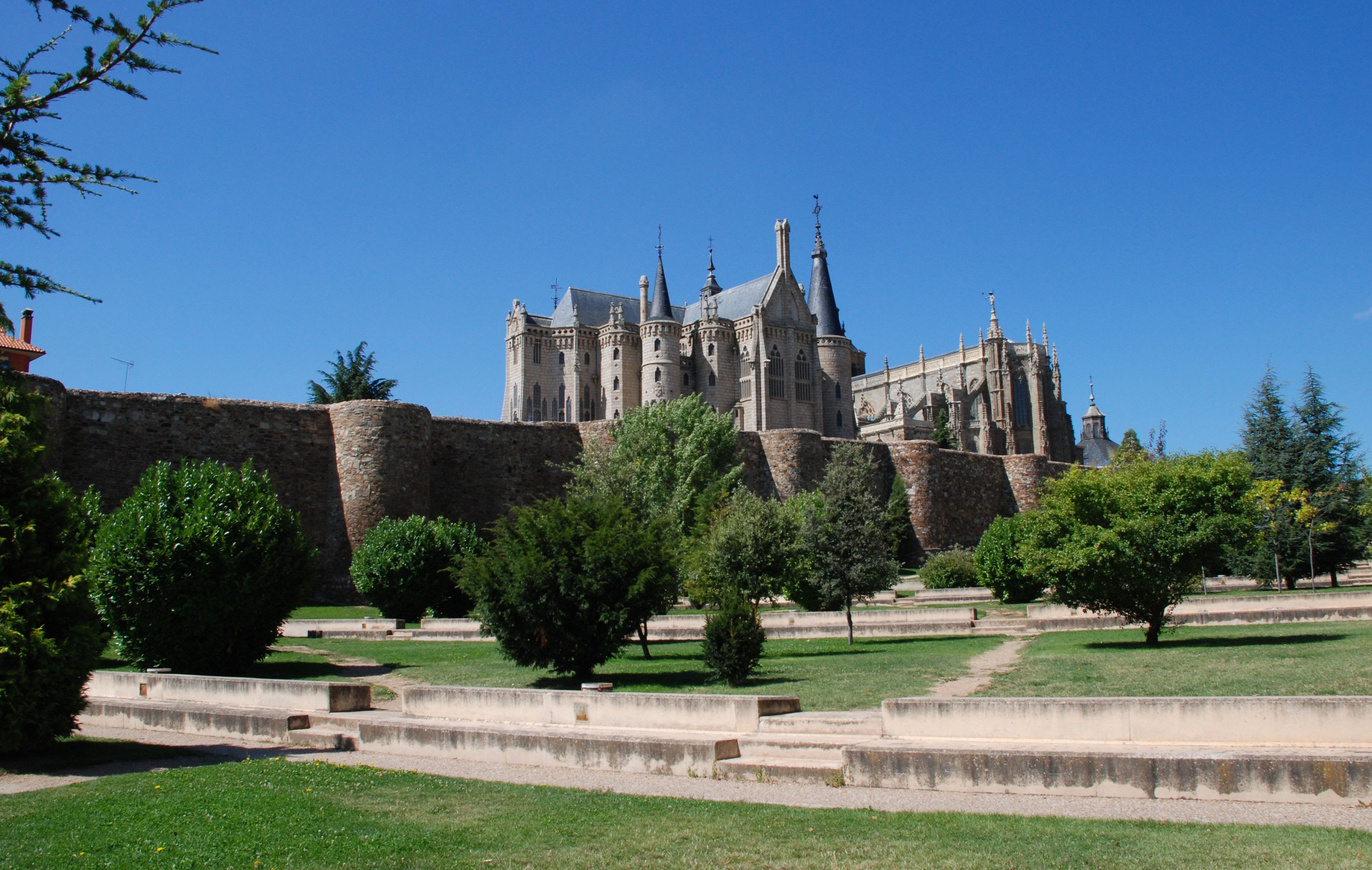
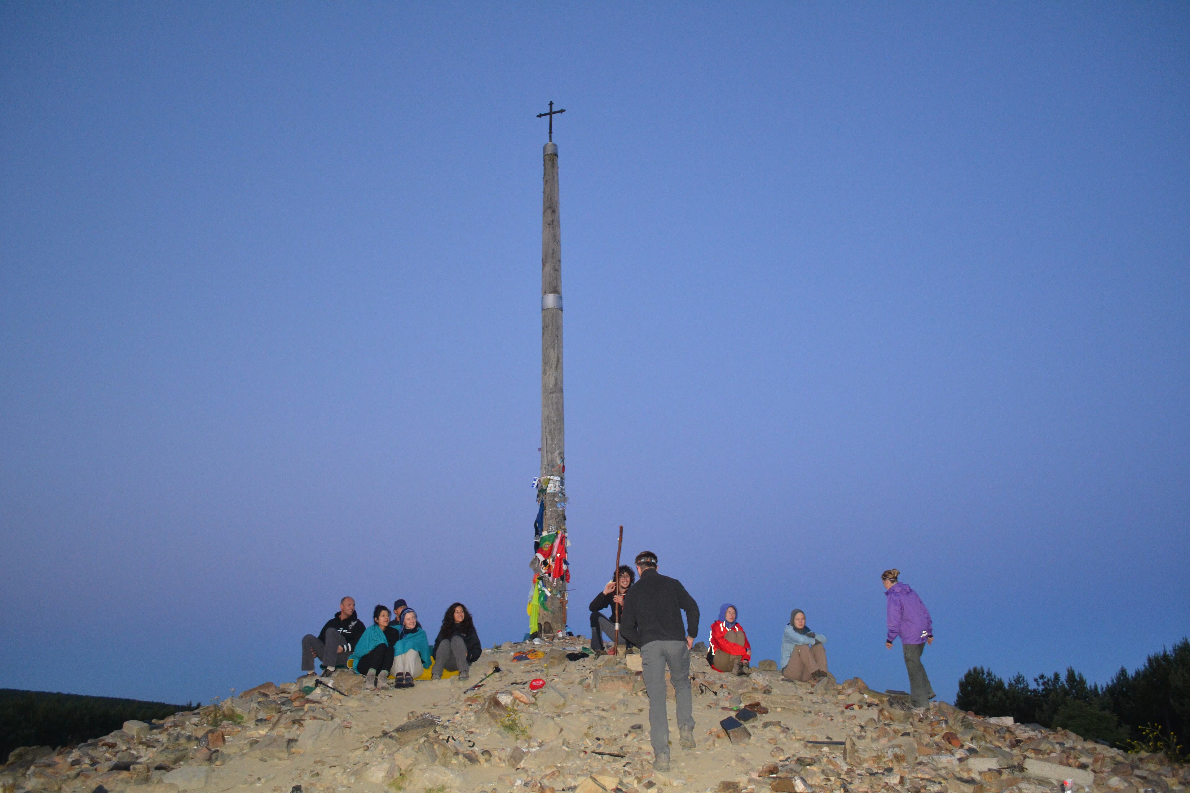
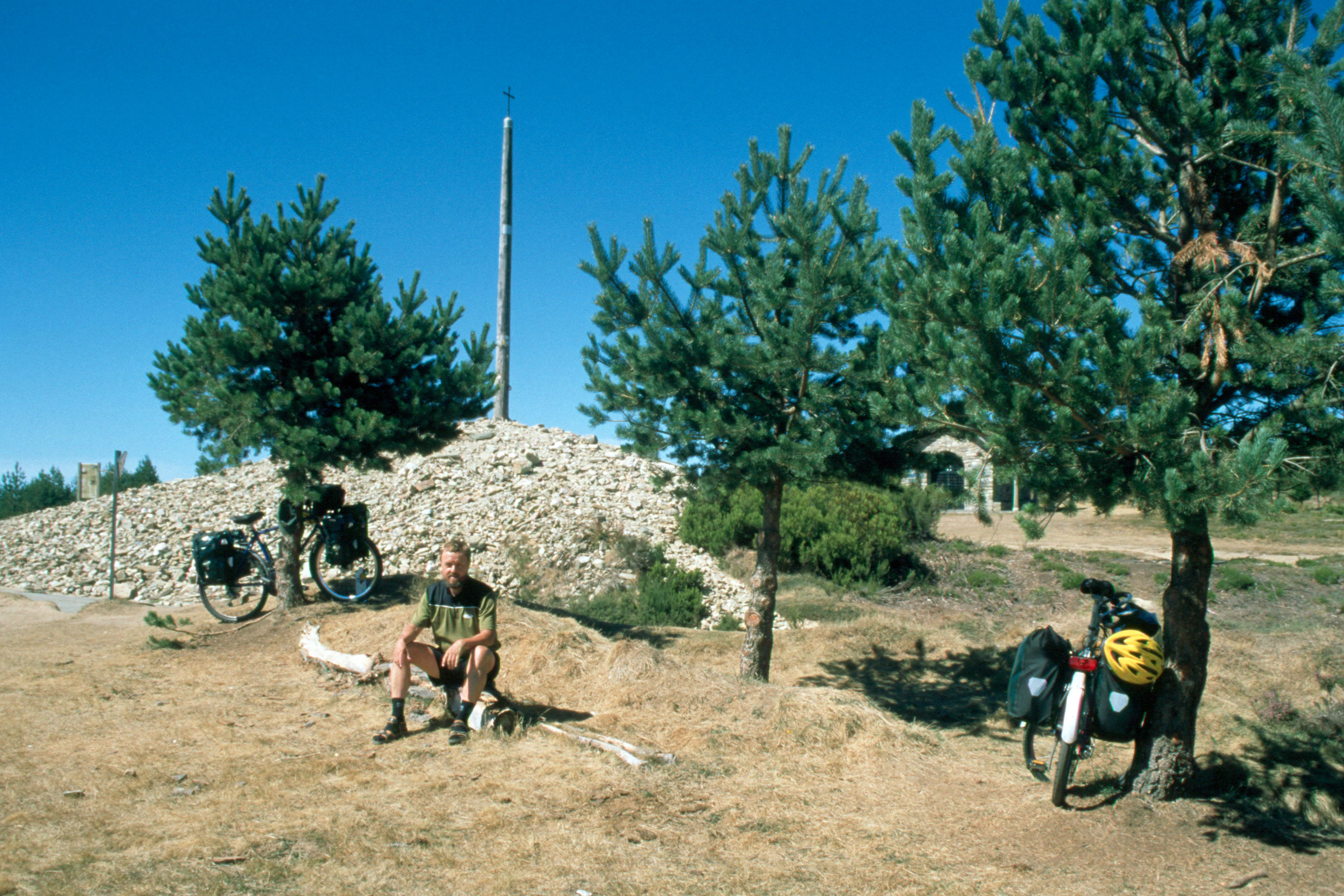
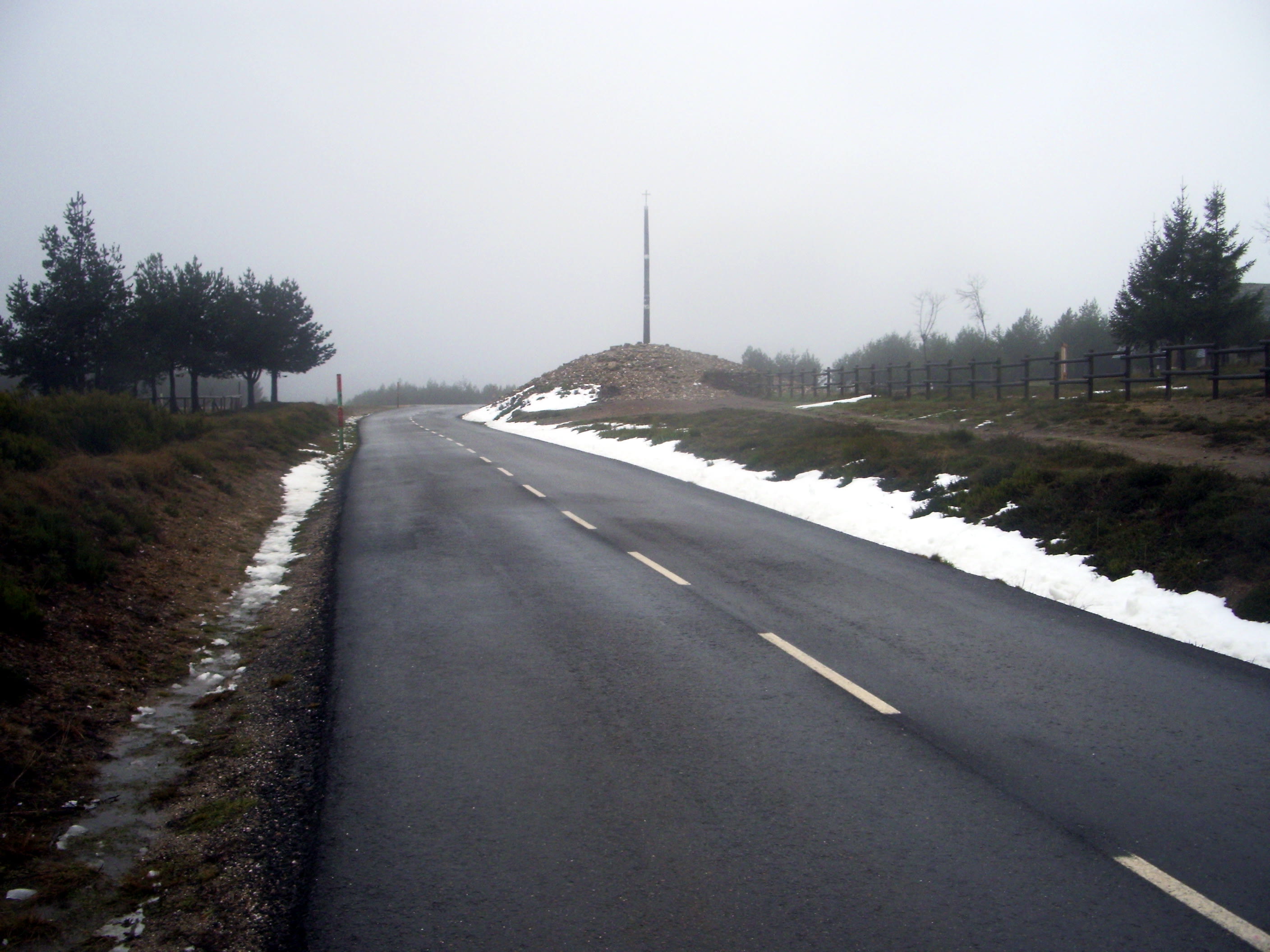
León behind you, the land begins to tilt upward again toward the Montes de León, and the Camino threads the Maragato country to Astorga — a red-stone town where two great Roman roads crossed, famous now for a bishop's palace that a young Gaudí built like a granite fairy tale and for chocolate, which the Maragatos traded across Spain from their mule trains. Restock here, and eat like a muleteer, because the next day is one of the Camino's sacred exertions: the long climb through Rabanal to Foncebadón and the Cruz de Ferro, the Iron Cross. On a pole above a mountain of stones at fifteen hundred metres it stands — a simple iron cross, and around its base, a cairn built from stones carried by pilgrims from home, each stone a burden, a grief, a hope, set down at last and left behind. The tradition is old and the mountain of stones keeps growing; there is no ceremony and there is every ceremony. Bring your stone from wherever your heart keeps it. Carry it up in silence. Leave it, and walk down lighter into Ponferrada — down, truly, because the Camino's hardest climbing is done, and Galicia is pulling.
See this place in the galleryAstorga and the Cruz de Ferro — Laying It Down — our interpretation, created from the reference photographs belowReference photographs — Astorga and the Cruz de Ferro — Laying It Down · 4 photographs
Ponferrada — The Castle at the Crossing
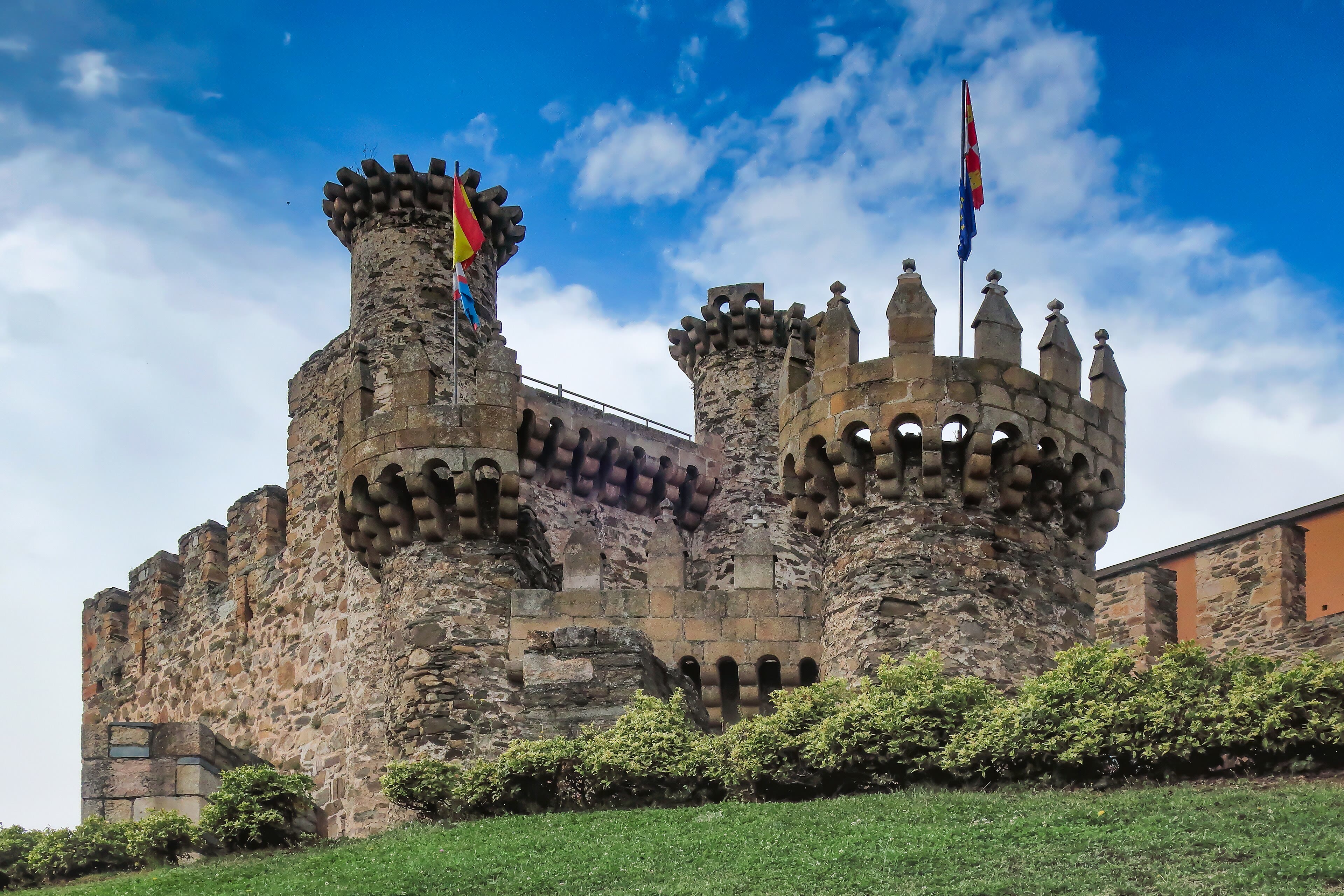
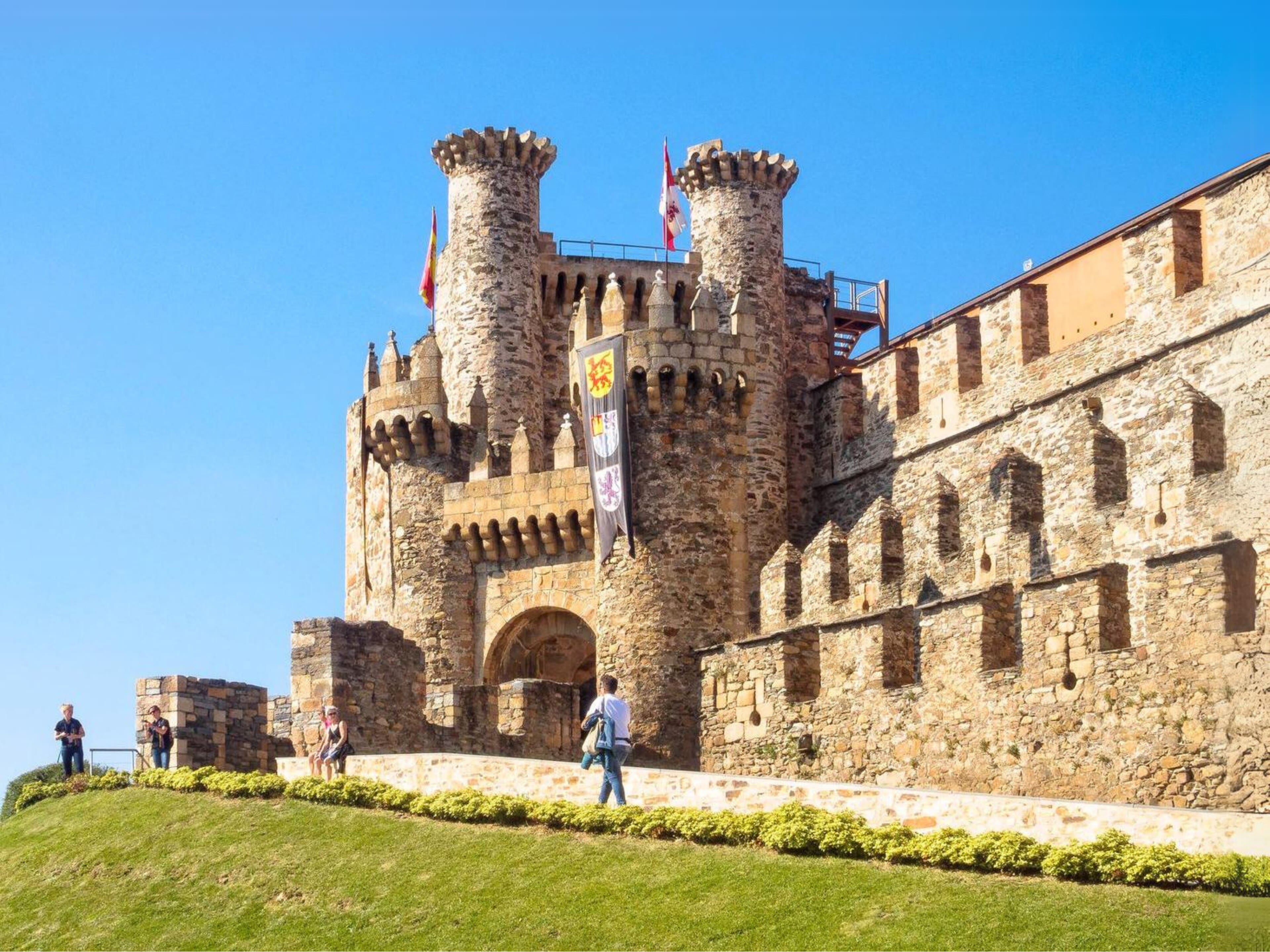
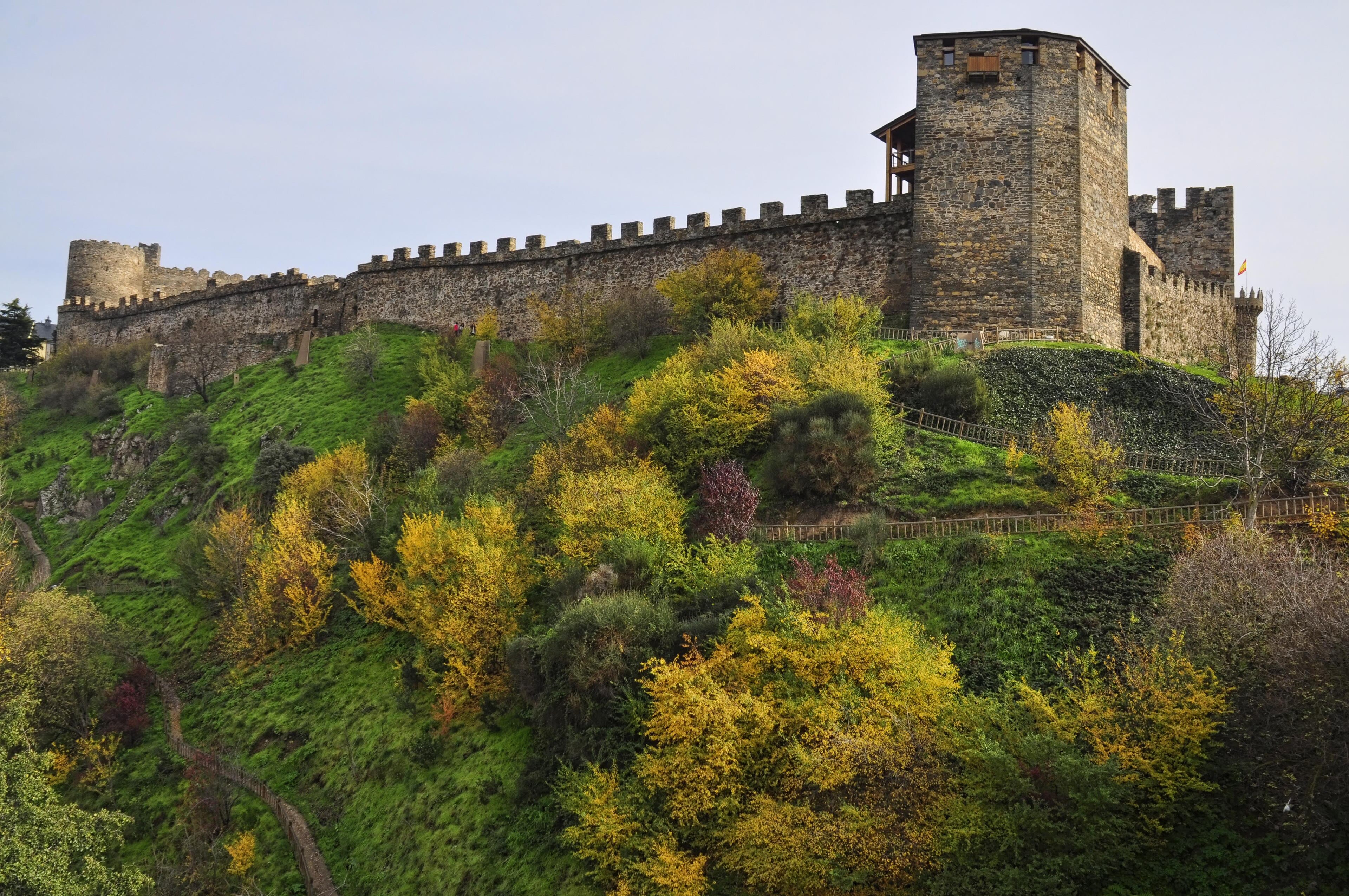
The descent from the Cruz de Ferro ends in one of the Camino's great arrivals: Ponferrada, where the Sil and Boeza rivers meet and the Knights Templar raised their vast castle to guard the pilgrim road. You met this castle from the inside in Aurelia's journey — the Templars' halls and towers on their rock above the river. The pilgrim meets it at dusk from the bridge the Romans named for iron — Pons Ferrata, the town's own name — with the day's heat coming off the water and the castle lit like a promise of safety, which is exactly what it was: the Templars held this crossing from the twelfth century so that people like you could pass unrobbed into the Bierzo. The Bierzo itself is the Camino's green antechamber to Galicia — a bowl of vineyards and chestnut woods ringed by mountains, famous for its mencía wine and for Las Médulas up in the hills, where Rome tore whole mountains apart for gold and left a landscape of red pinnacles that looks invented and is not. Walk out of Ponferrada at dawn with the castle behind you. The road is gathering itself now for Galicia, and Santiago is suddenly, startlingly, near.
See this place in the galleryPonferrada — The Castle at the Crossing — our interpretation, created from the reference photographs belowReference photographs — Ponferrada — The Castle at the Crossing · 3 photographs
O Cebreiro — The Door of Galicia
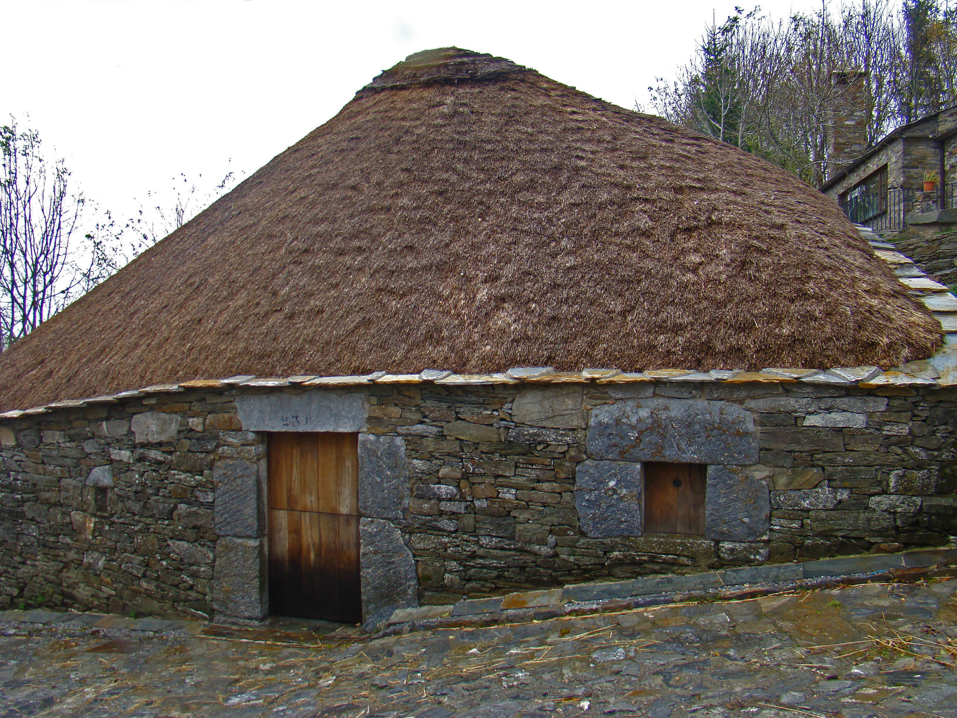
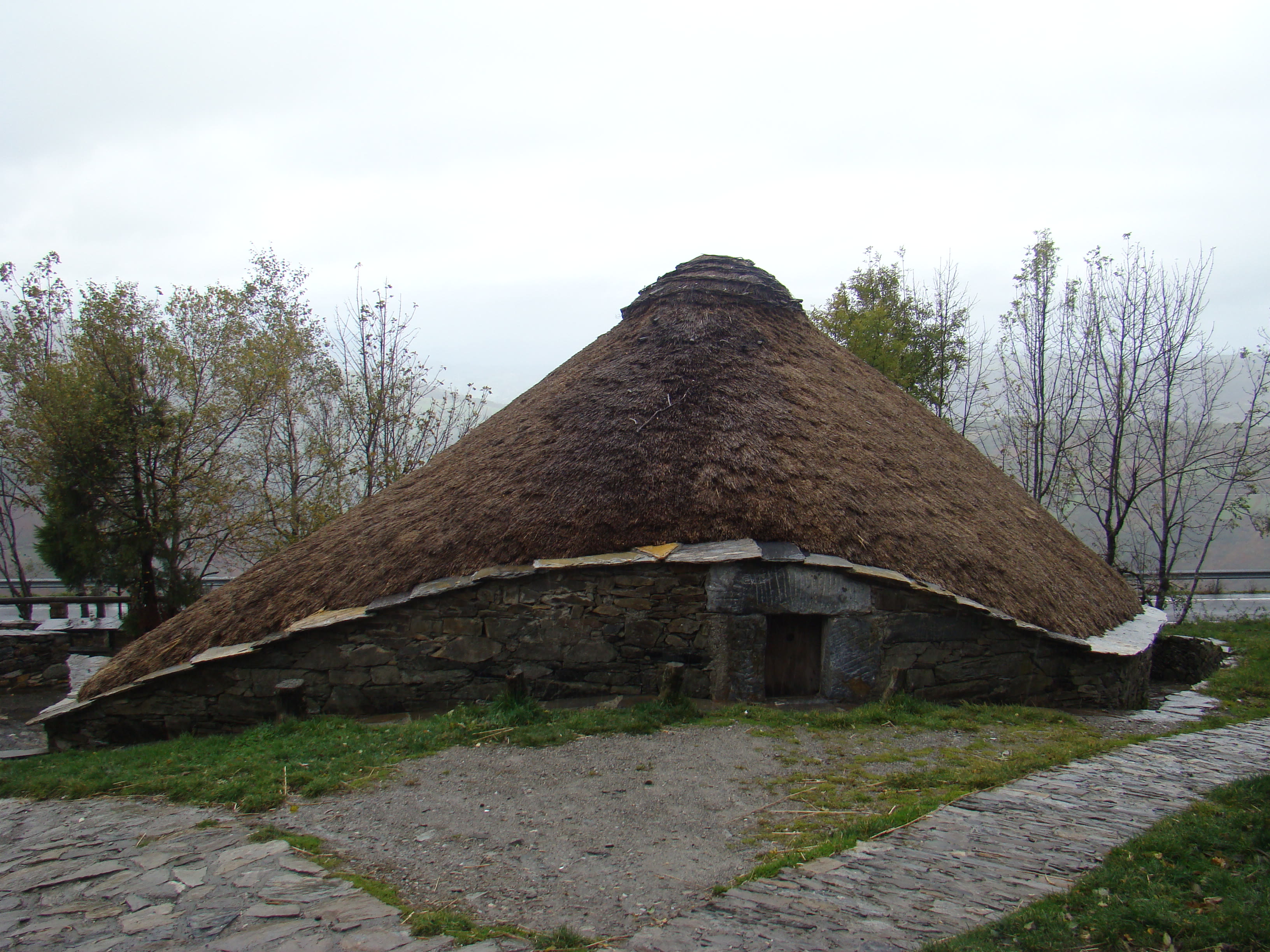
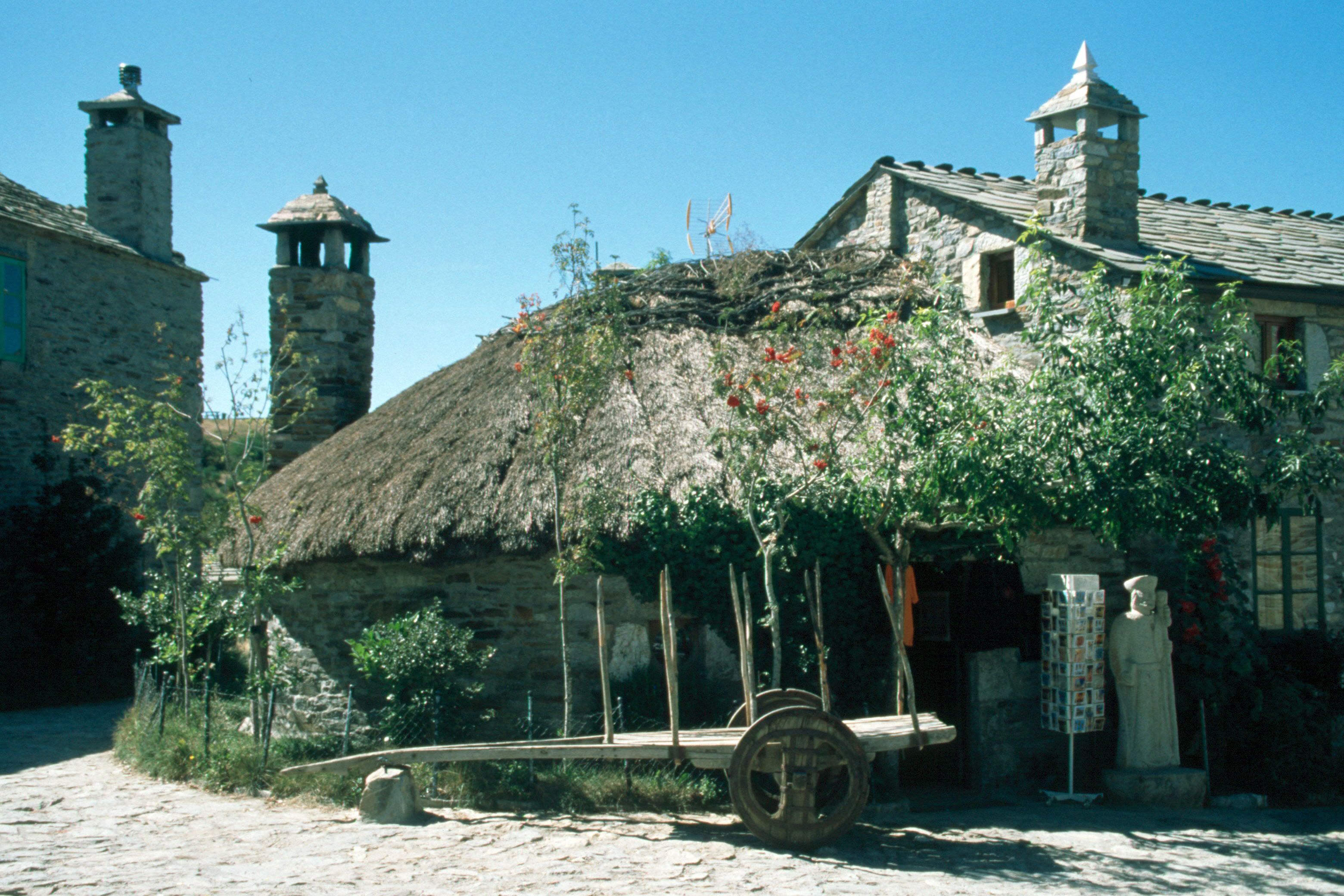
Every great walk has a door, and the Camino's door into Galicia is a village in the clouds: O Cebreiro, thirteen hundred metres up on the last ridge of the Leonese mountains. The climb from the Bierzo is the final hard ascent of the whole road — and the reward is a place out of an older time: pallozas, the round thatched stone houses whose design runs back past Rome to the Celts; a small pre-Romanesque church, Santa María la Real, the oldest on the entire Camino Francés, keeping a chalice tied to a Eucharistic story the village tells as faithfully as it is famous; and weather — Galician weather, arriving from the Atlantic like a personality. From the ridge on a clear morning you can see the green folds of Galicia running west to the sea, and the walking changes character under your boots: softer, greener, wetter, the lanes sunken between mossed stone walls, the villages measured in cow-time. This is also where a parish priest, Elías Valiña, began in the nineteen eighties to paint the yellow arrows that now guide the whole Camino — one man, a pot of road paint, and an idea that outwalked him. Follow his arrows downhill. Santiago is a hundred and sixty kilometres of green lanes away.
O Cebreiro — The Door of Galicia — our interpretation, created from the reference photographs belowReference photographs — O Cebreiro — The Door of Galicia · 3 photographs
Santiago, and the End of the World
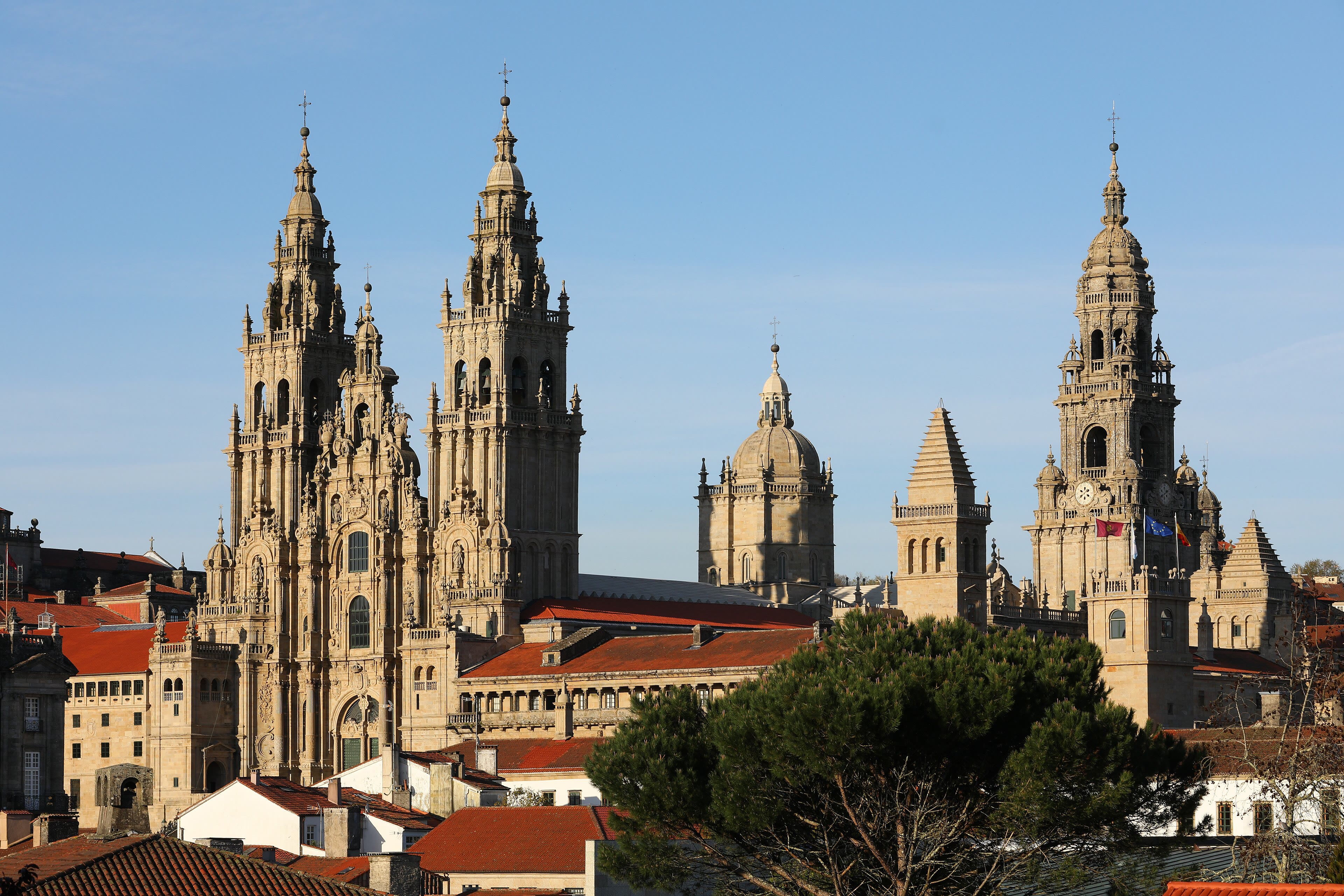
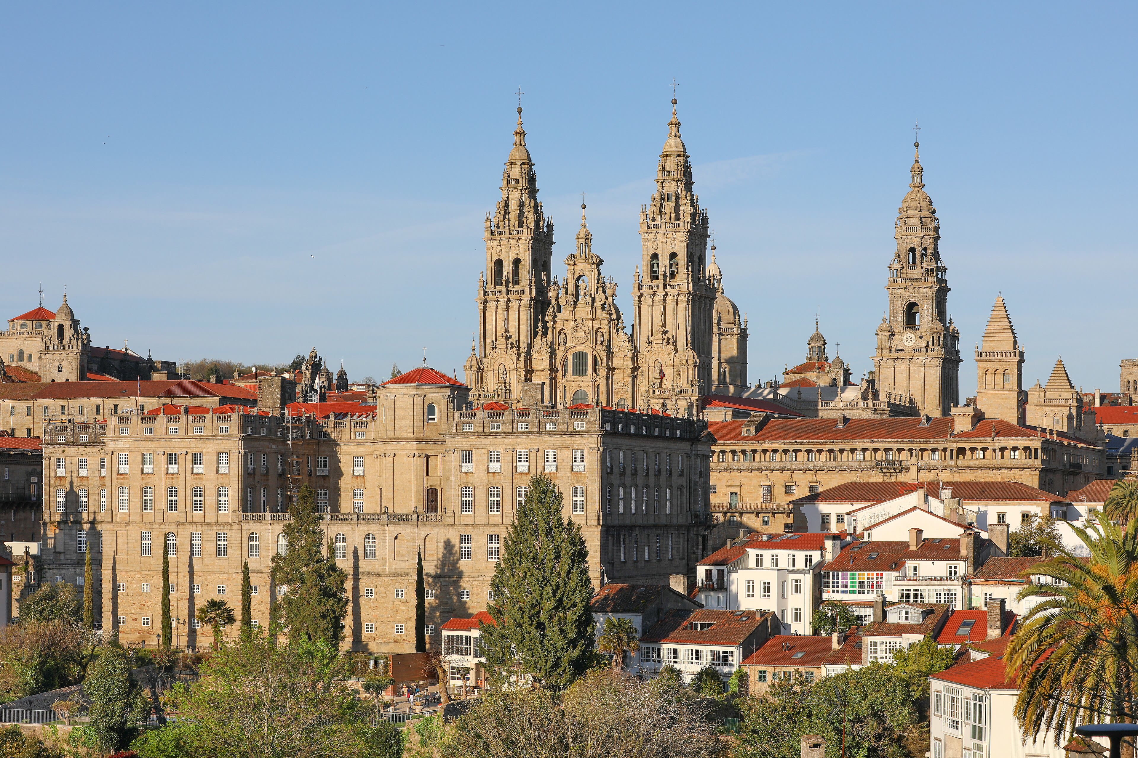
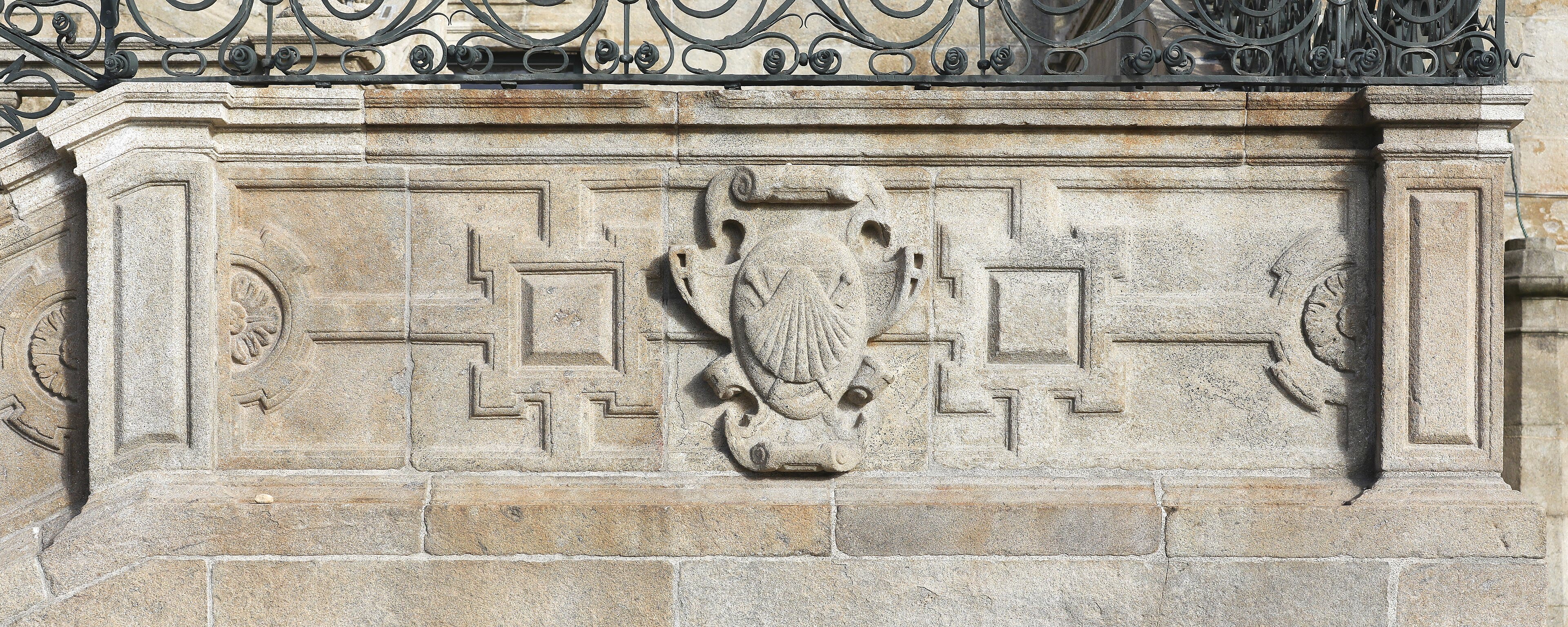
The last Galician days run sweet and downhill: Sarria, where the hundred-kilometre pilgrims join in cheerful crowds; the great oak woods and Roman bridges of the Miño country; Monte do Gozo, the Mount of Joy, where the spires first appear; and then the old streets funnel you, blinking, into the Praza do Obradoiro — and there is the Cathedral of Santiago de Compostela, the goal of every road in this chapter, its baroque towers over the square where a thousand journeys a day simply sit down on the stones and stop. Pilgrims' Mass at noon; the great Botafumeiro swinging its incense over the nave, as it has for centuries; your Compostela certificate in its cardboard tube; strangers hugging strangers. And then — because this is our walk, and the GR10 taught us the grammar of it — some of us walk on, three more days west, to Finisterre: the end of the world, where Rome's legions watched the sun die into the ocean and decided the earth stopped here. Stand on that lighthouse rock with five hundred kilometres of Spain in your legs, watch the Atlantic take the light, and you will understand the whole chapter. Roads end. Walkers don't — they just start looking for the next one. Ours is waiting in the high Alps.
See this place in the gallerySantiago, and the End of the World — our interpretation, created from the reference photographs belowReference photographs — Santiago, and the End of the World · 3 photographs
Chapter Three — Mont Blanc & the Haute Route
10 scenes · 36 reference photographs
Chamonix and the Aiguille du Midi
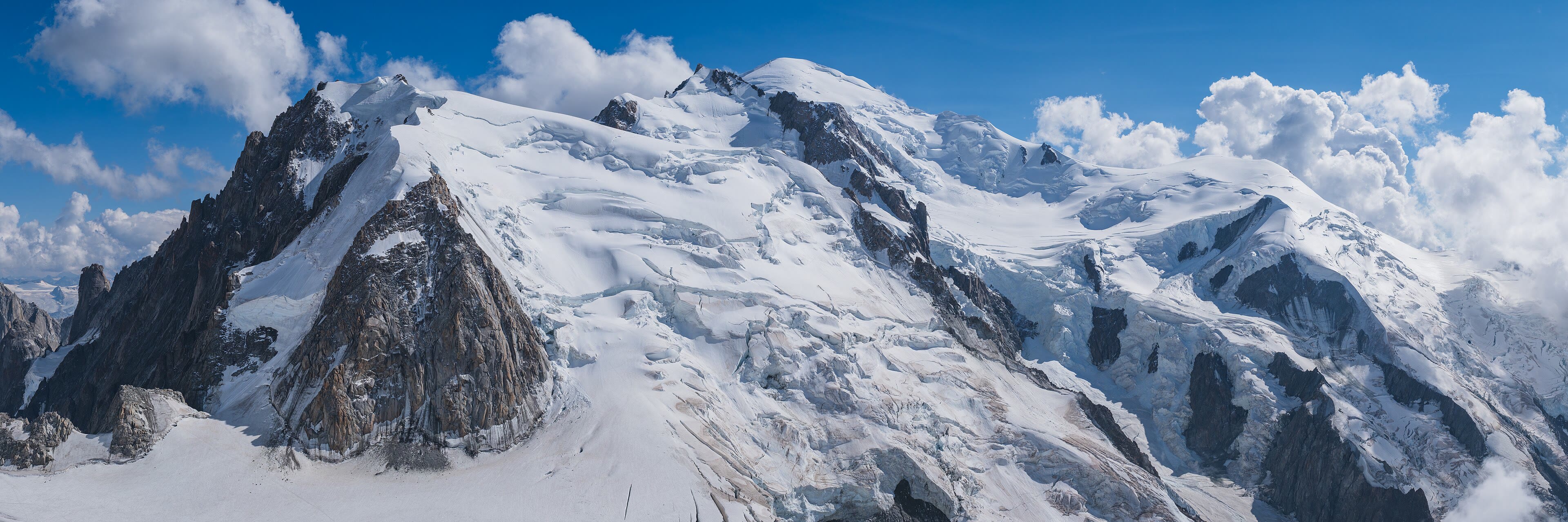
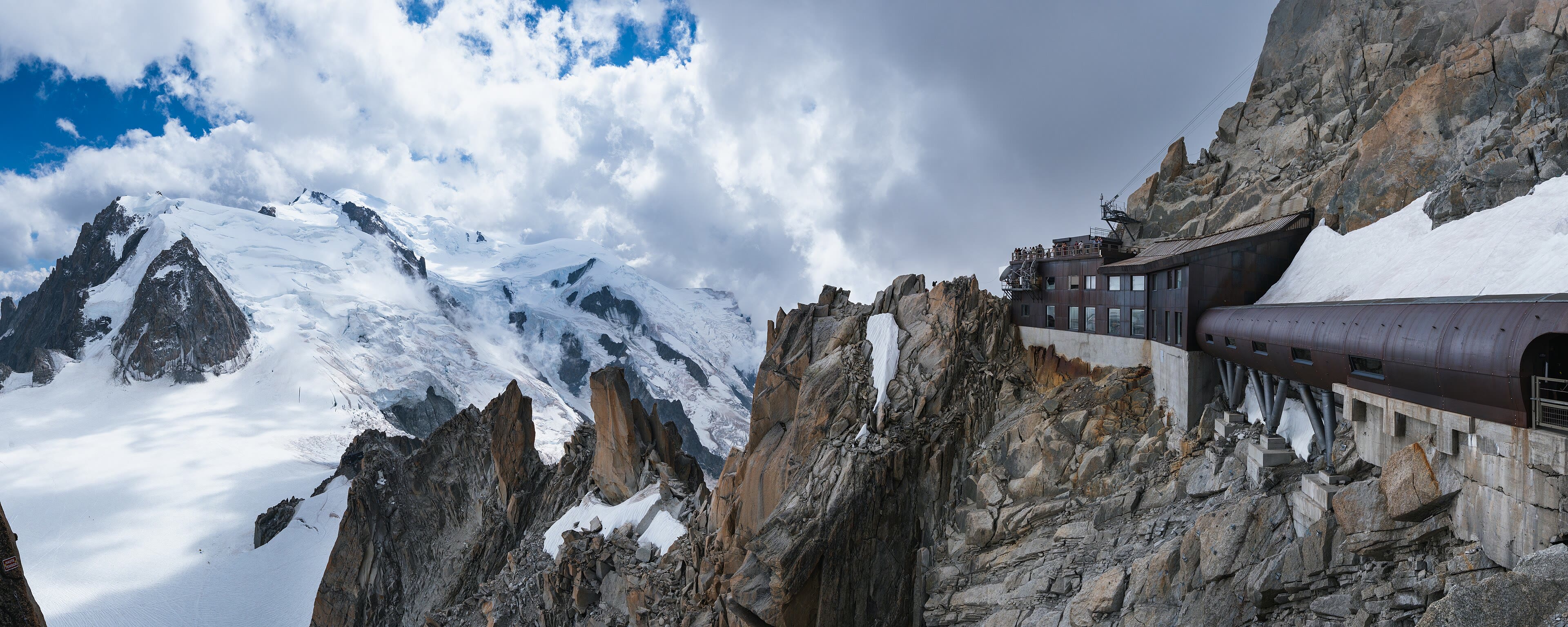
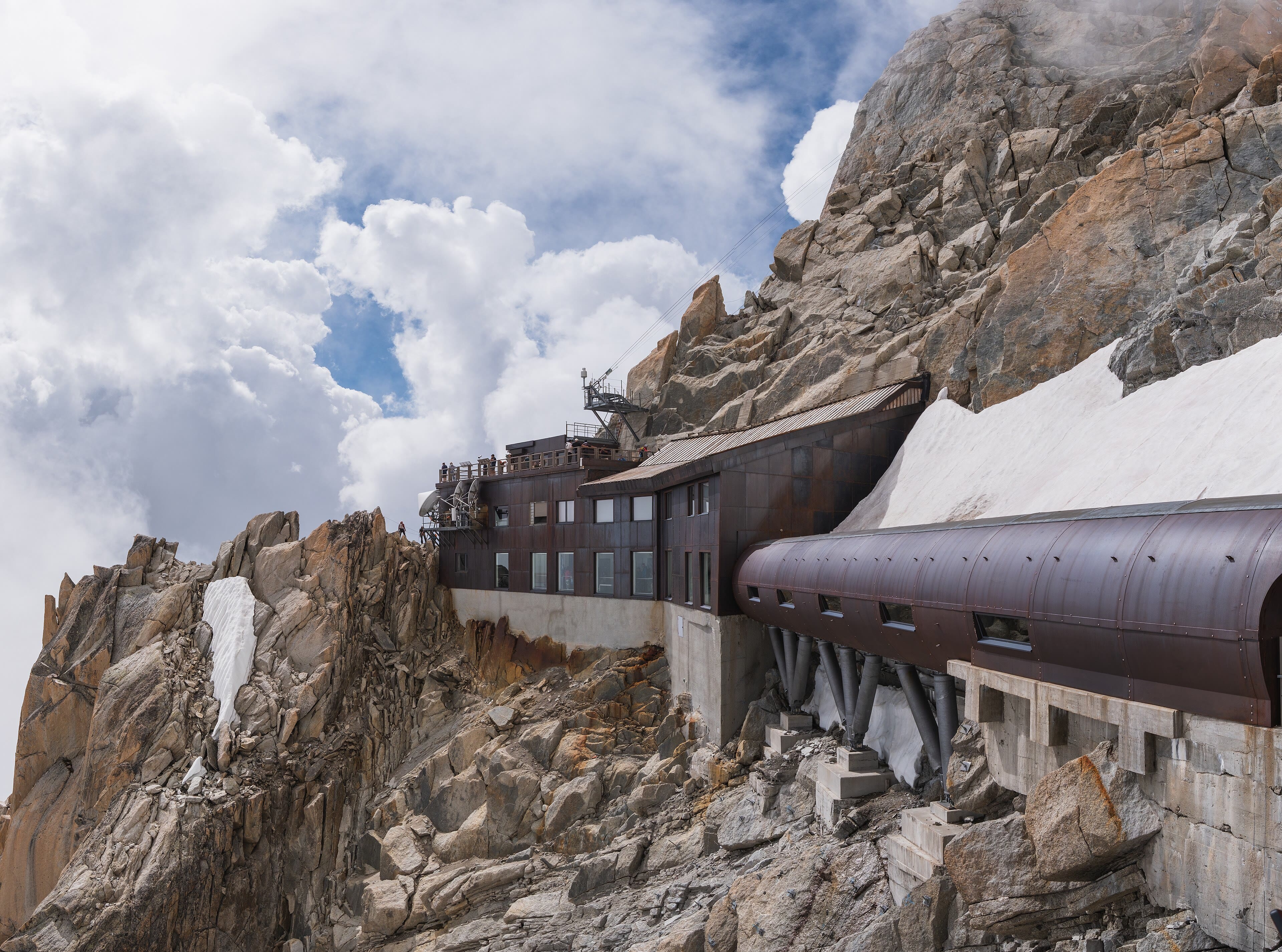
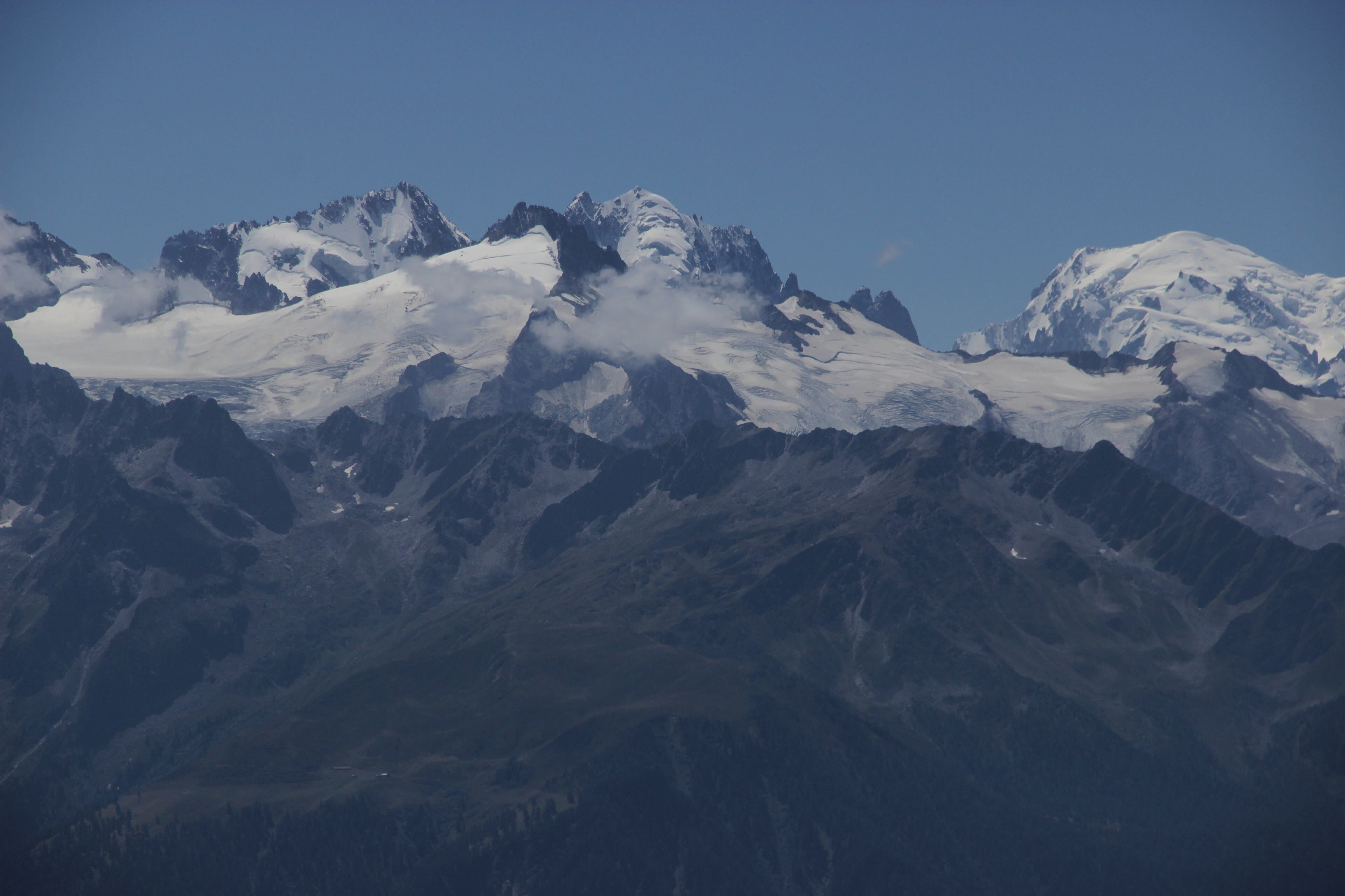
Every great walk deserves a proper starting line, and ours is a town that lives in the shadow of the highest ground in western Europe. Chamonix sits in its deep green valley with the Mont Blanc massif standing over it like a wall of ice — the summit itself, four thousand eight hundred and seven metres of it, first climbed in seventeen eighty-six by a doctor and a crystal-hunter from this very valley. Before we walk anywhere, we cheat, gloriously: the cable car to the Aiguille du Midi, a needle of rock three thousand eight hundred and forty-two metres up, where the air goes thin and the glaciers fall away in every direction. Look south into Italy, east along the spine of the Alps we are about to cross on foot. The walker's Haute Route begins down in the valley tomorrow, and it is the honest way — hut to hut, pass to pass, all the way to Zermatt. But a walker should see the whole chessboard once before he starts moving the pieces. Up here you can. Then the valley, a last good dinner, and boots by the door.
See this place in the galleryChamonix and the Aiguille du Midi — our interpretation, created from the reference photographs belowReference photographs — Chamonix and the Aiguille du Midi · 3 photographs
Argentière and the Col de Balme
We walk out of Chamonix up the valley to Argentière, where the glacier comes down almost to meet the village, and then we climb — steadily, through larch and alpine pasture, to the Col de Balme. Two thousand one hundred and ninety-one metres, and a line on the ground that matters: this is the border. Behind us, France. Ahead and below, Switzerland, and a new valley unrolling green toward Trient, whose glacier pours down its own hanging valley in a slow white tongue. There is a little refuge on the pass and coffee that tastes better for the height of the place, and on a clear day the view back to Mont Blanc is the finest farewell the mountain gives. This is the Haute Route's rhythm, and you will feel it settle in today: a pass every day or two, a valley every night, and your world shrunk to the next climb, the next hut, the weather coming over the ridge. Everything else — the whole noisy century — is down there somewhere. Up here it is just walking.
Argentière and the Col de Balme — our interpretation, created from the reference photographs belowReference photographs — Argentière and the Col de Balme · 4 photographs
Champex-Lac — The Held Breath
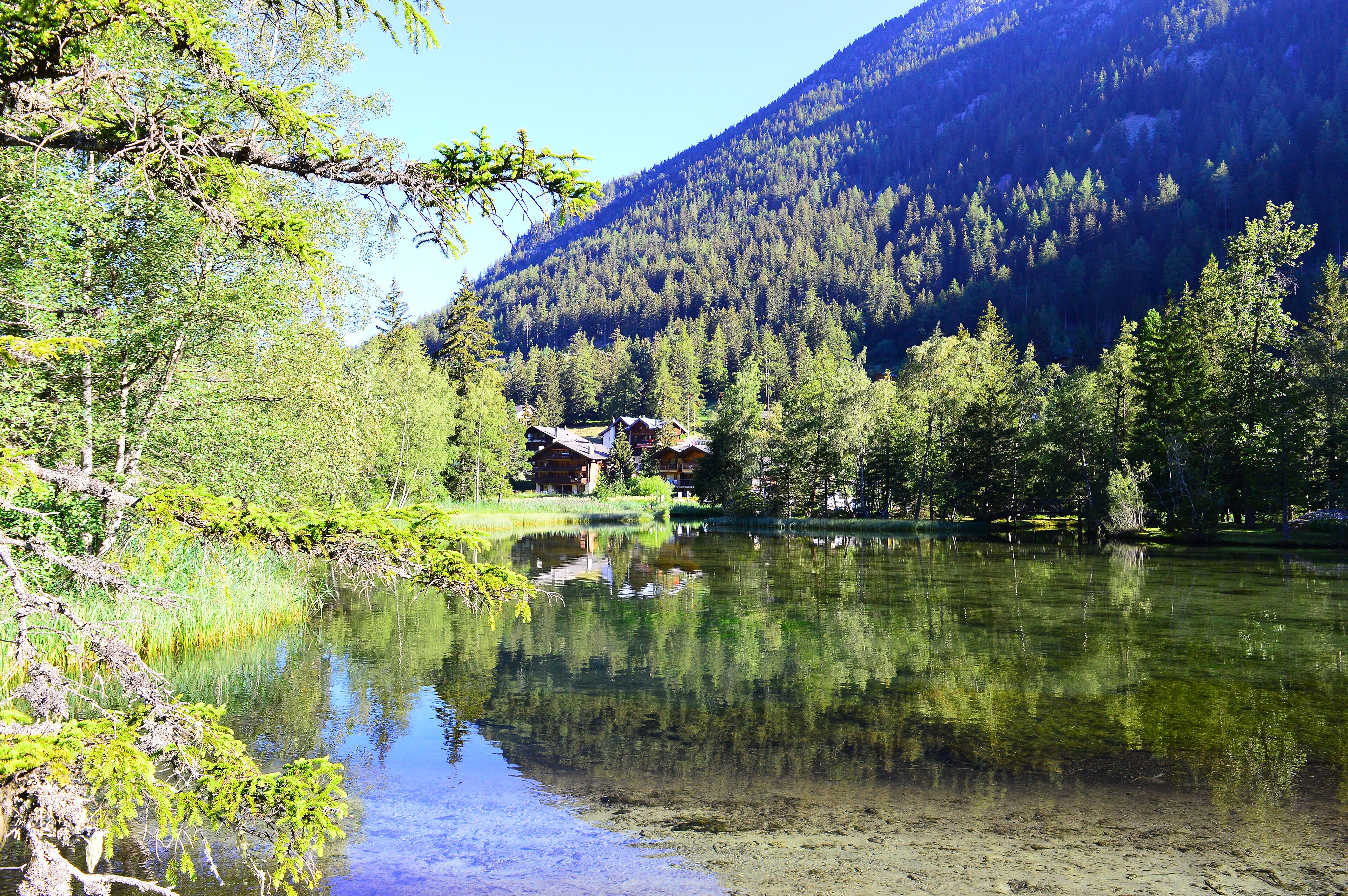
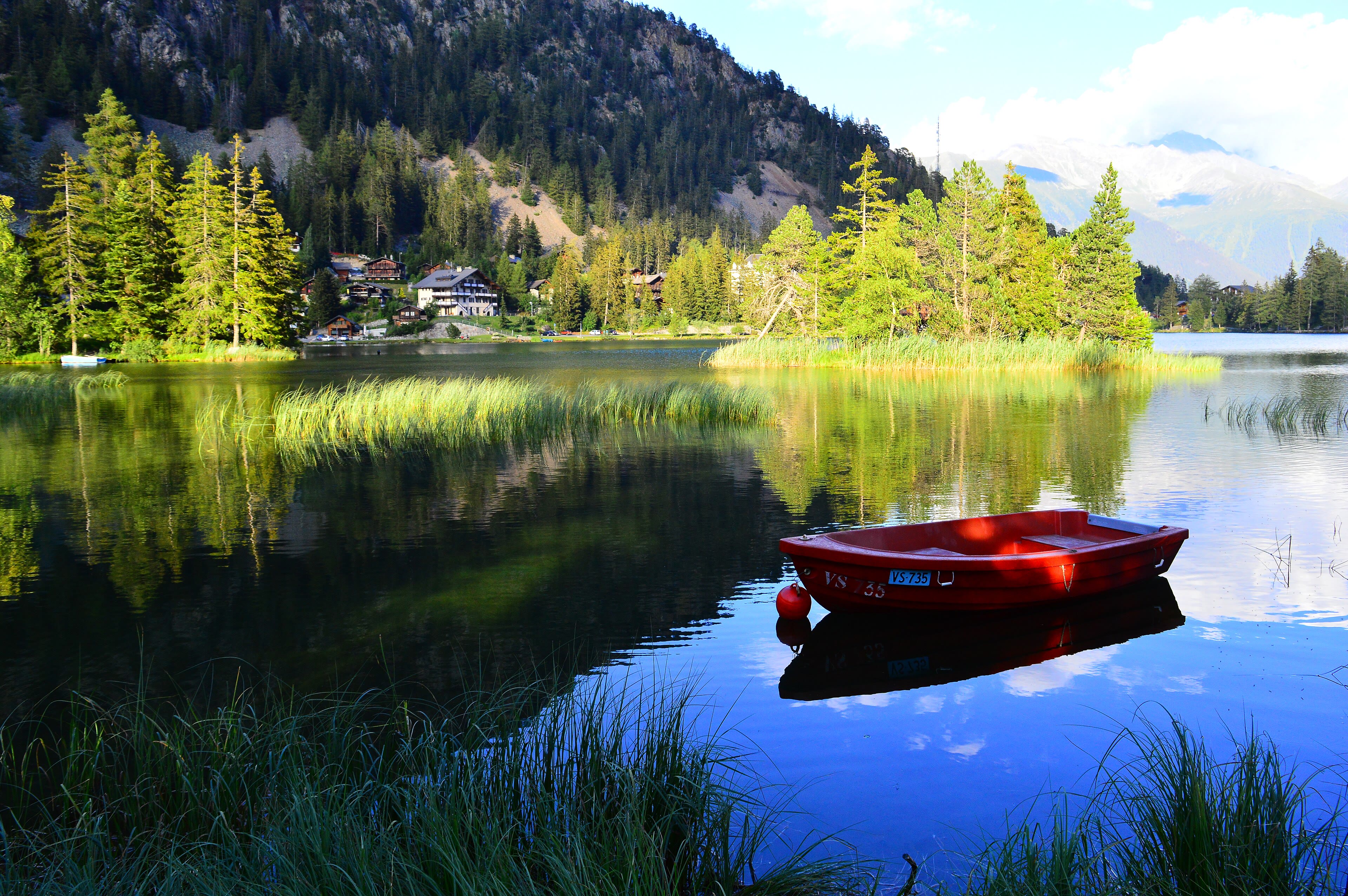
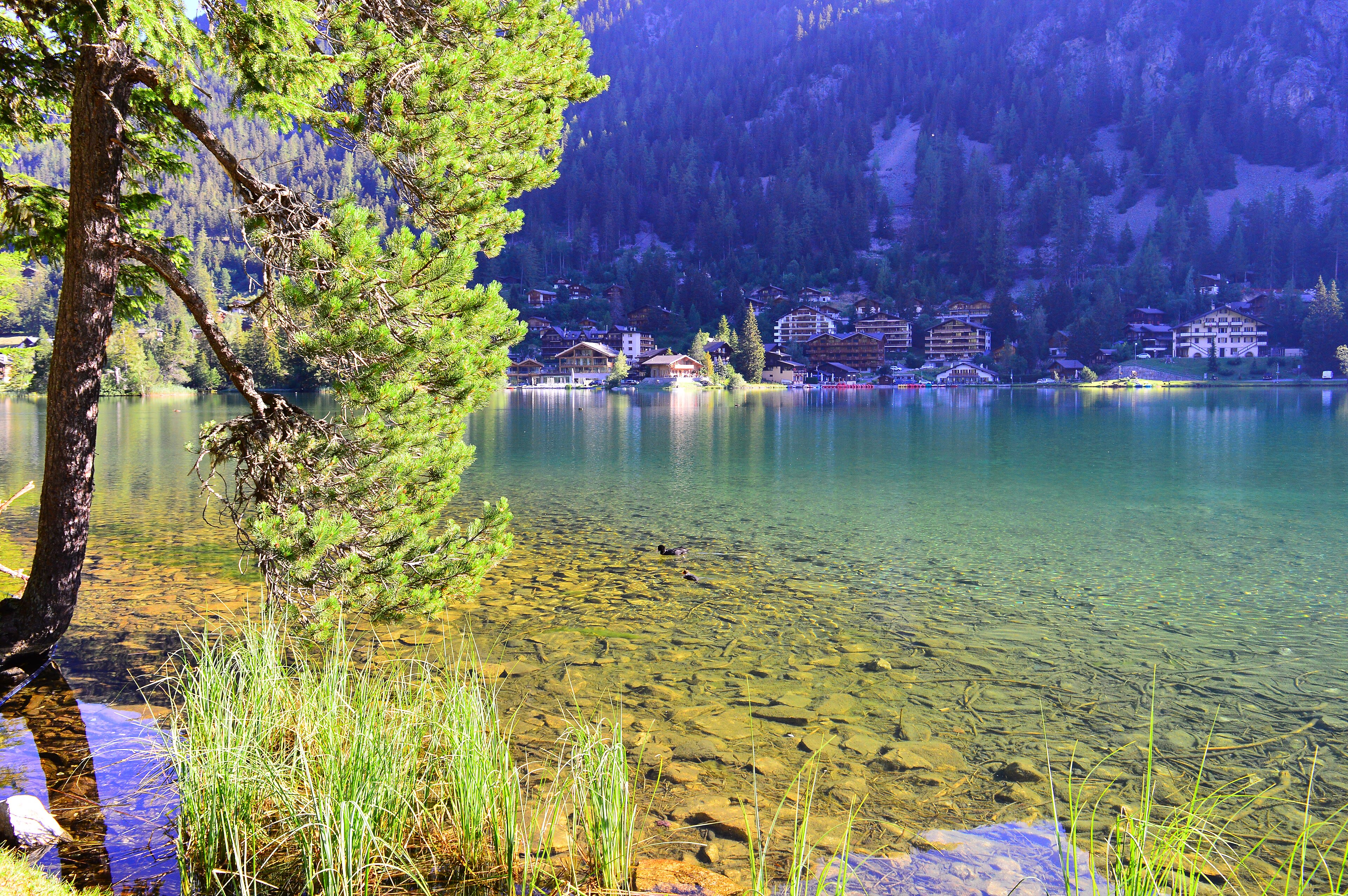
Down through the forests of the Trient valley and up one more green shoulder, and the day ends in a place that feels like a held breath: Champex-Lac. A small, still lake at one thousand four hundred and sixty-six metres, ringed by dark pines, with a village of wooden chalets along its shore and the peaks of the Combins standing at the head of the valley beyond. They call it the little Canada of Switzerland, and on a calm morning, with the water holding the trees upside down, you can see why. This is the gentlest day of the whole crossing, and walkers need days like it — legs resting without stopping, an afternoon on the lake shore, swans drifting past like they own the place, which here, they do. But look at the far shore before supper. The path climbs away tomorrow into the high stony country where the Haute Route stops being a valley walk and becomes something sterner and better. Eat well tonight. The mountains are done being polite.
Champex-Lac — The Held Breath — our interpretation, created from the reference photographs belowReference photographs — Champex-Lac — The Held Breath · 3 photographs
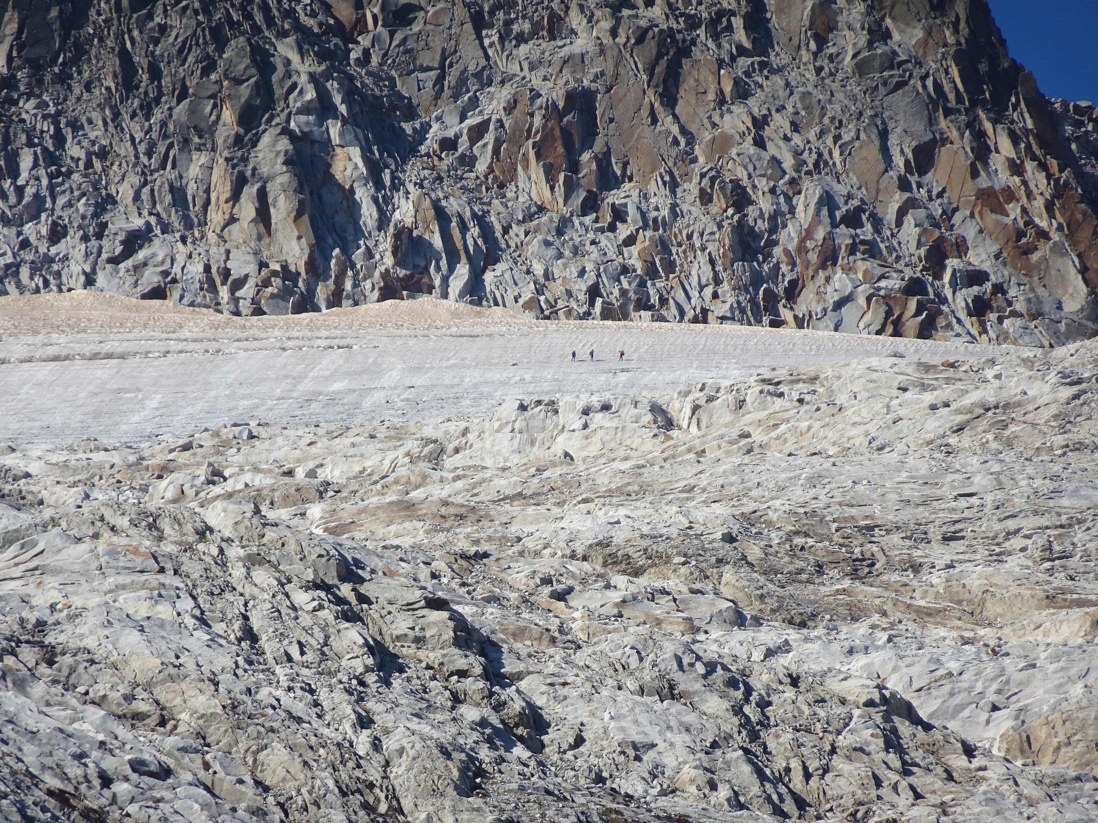
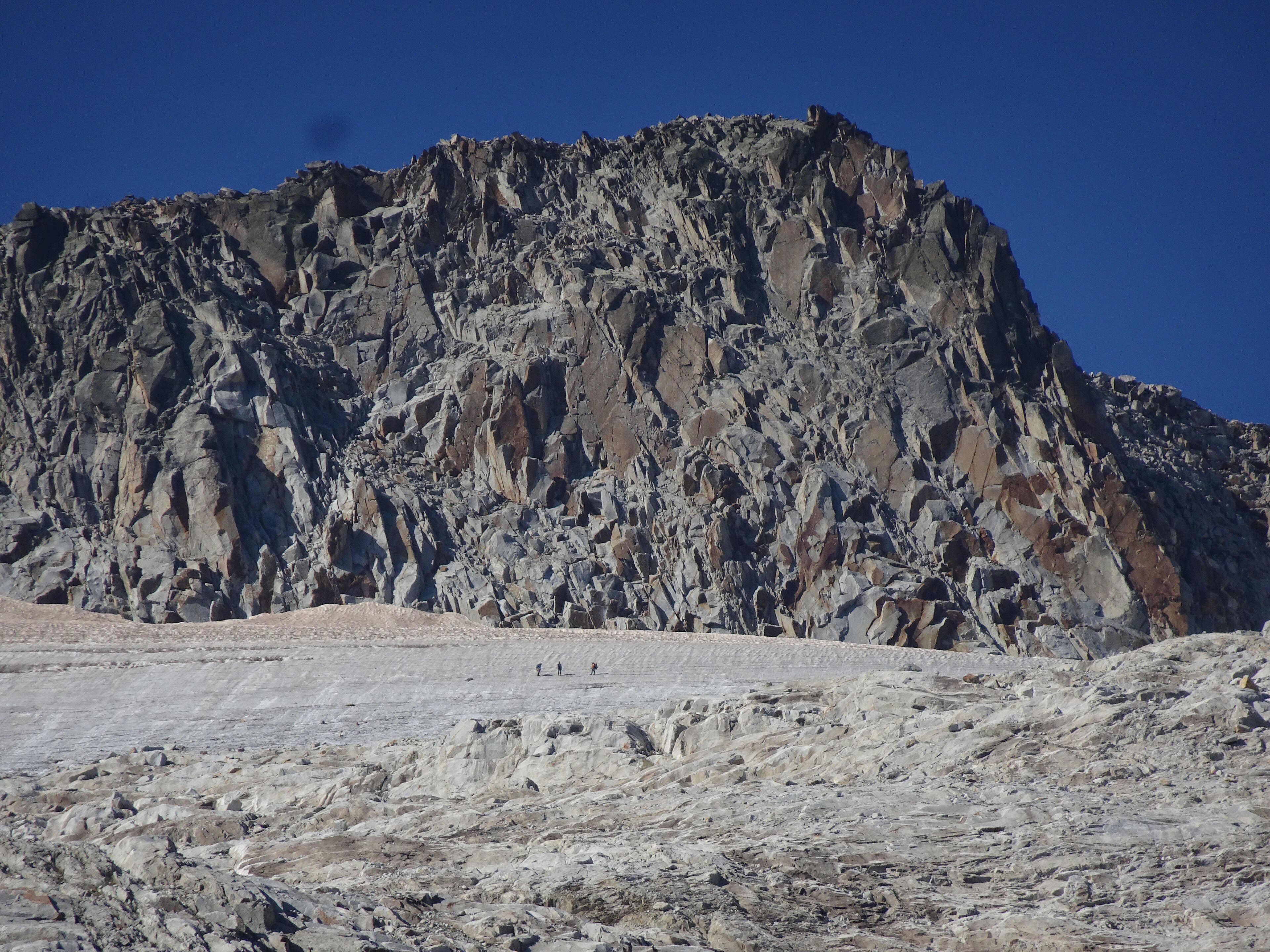
The Grand Désert and the Cabane de Prafleuri
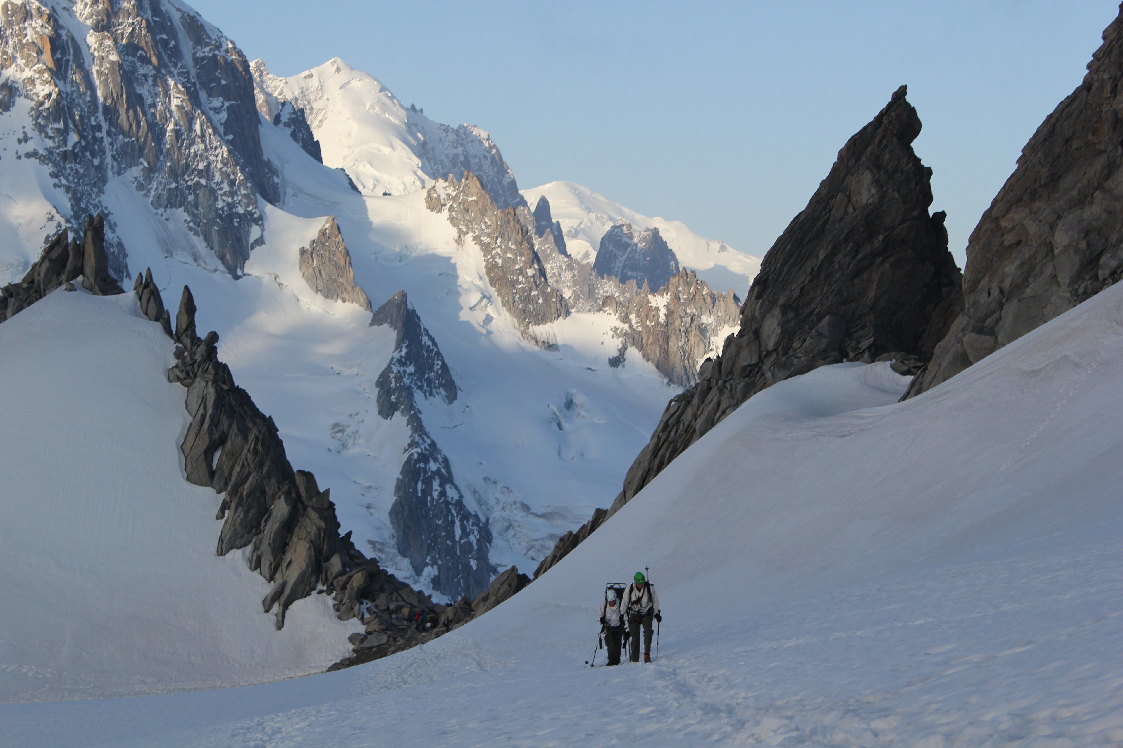
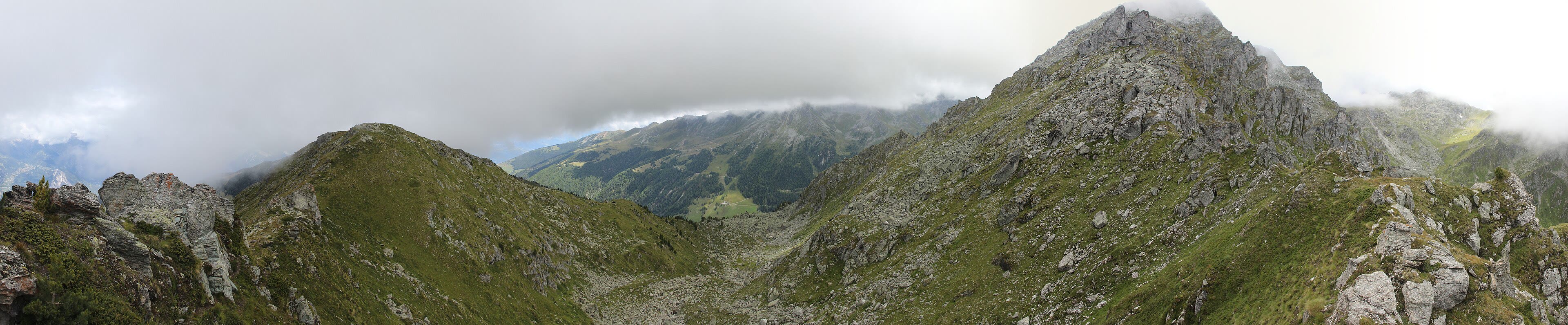
This is the day the Haute Route shows its teeth — and its heart. We climb out of the green and into a world of stone: the long ascent past the Cabane du Mont Fort's height and over the cols into the Grand Désert, a high, silent amphitheatre of rock and old ice beneath the Rosablanche. Then the last pull to the Col de Prafleuri, two thousand nine hundred and eighty-seven metres, the highest point of our whole walk, and down a scatter of boulders to a small stone hut in a valley of stones. The Cabane de Prafleuri sits at two thousand six hundred and fifty-six metres with nothing around it but mountains and its own welcome. Ibex pick their way through the boulder fields like they built them. There is no road, no signal, no way in or out except the one you walked. Supper is soup and bread and cheese and it tastes like a feast, because everything at this height is earned. This is the day walkers remember when they're old.
The Grand Désert and the Cabane de Prafleuri — our interpretation, created from the reference photographs belowReference photographs — The Grand Désert and the Cabane de Prafleuri · 3 photographs
The Lac des Dix and Arolla
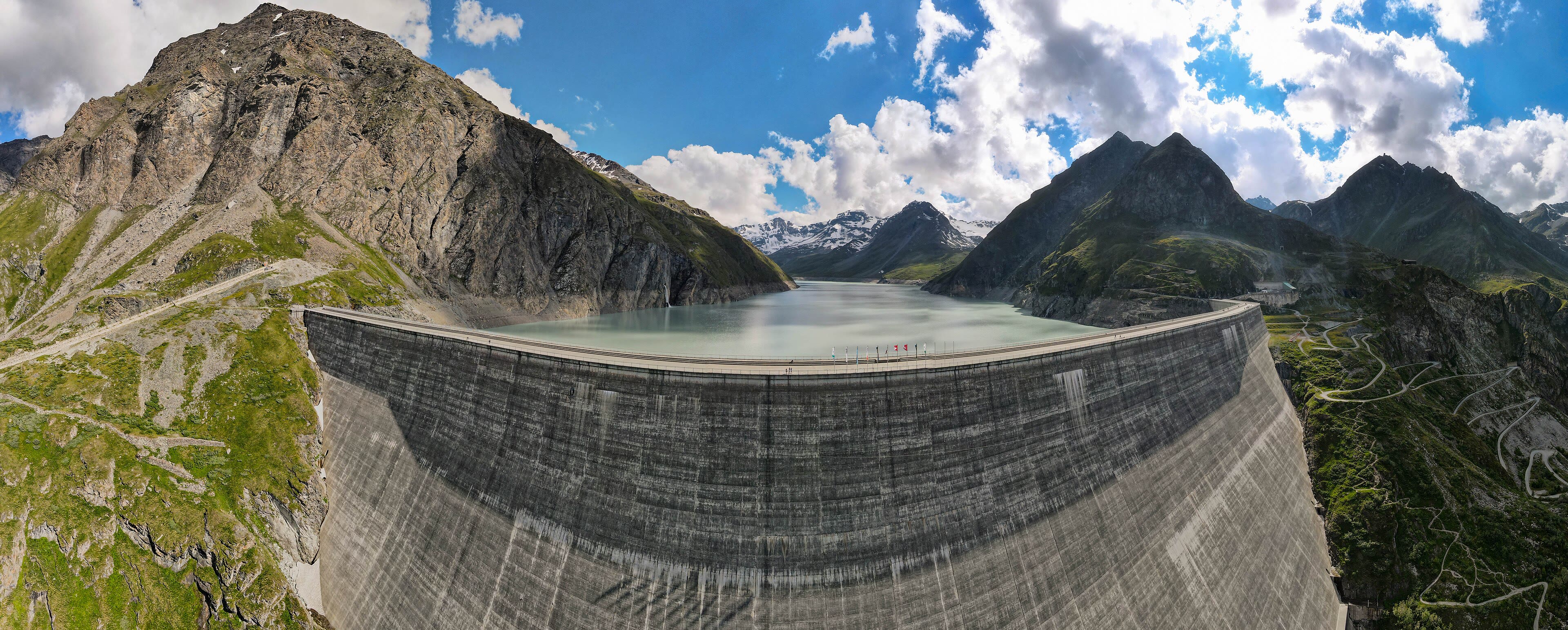
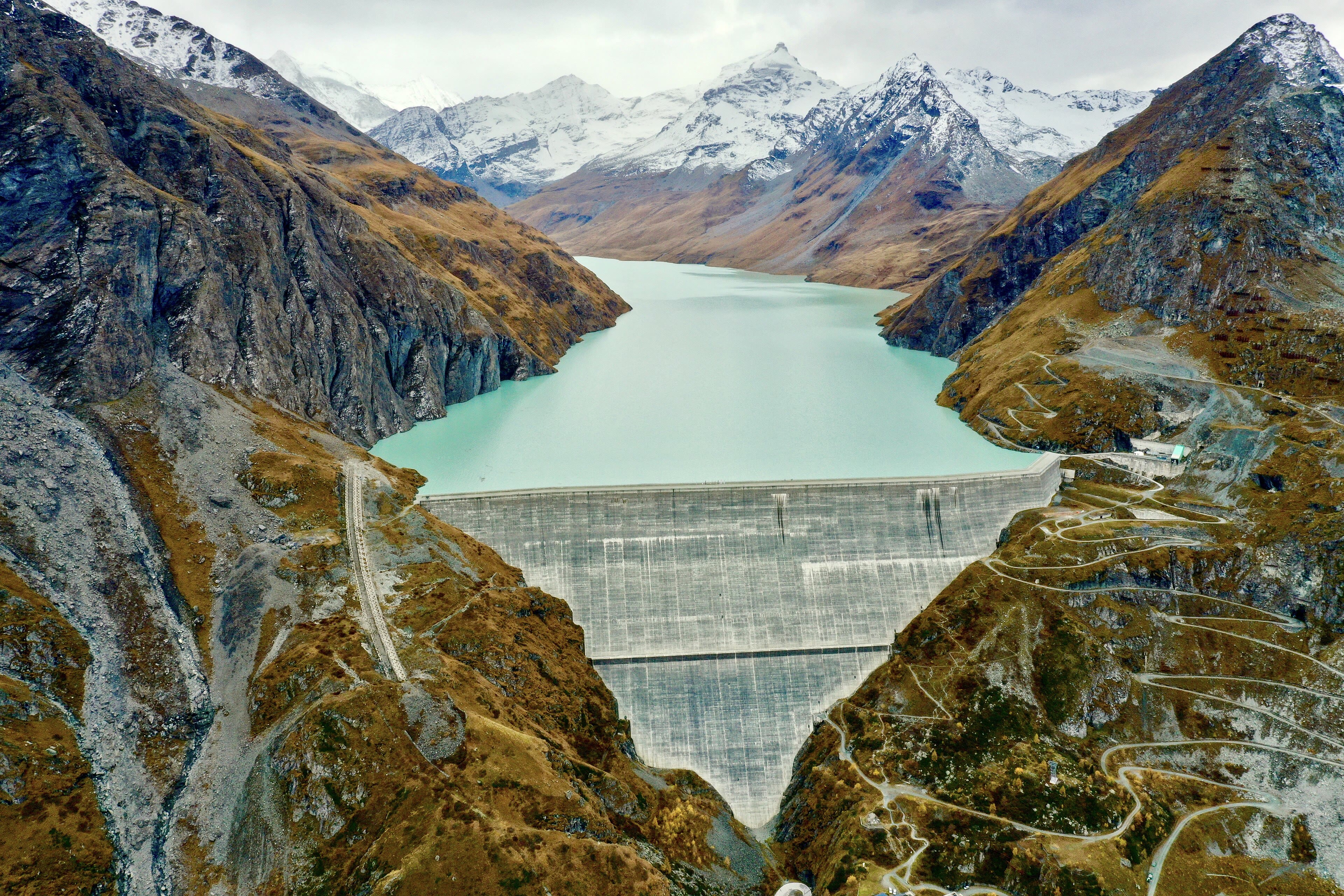
From the stony valley we climb once more and come out above a sight no one expects in the high Alps: the Lac des Dix, a fjord of milky turquoise water held back by the Grande Dixence — at two hundred and eighty-five metres, the tallest gravity dam on Earth, a wall of concrete standing where a mountain ought to be. The path follows the lake's wild shore for hours, through tunnels and past waterfalls, with the glaciers watching from above. And then the valley turns, the dam is behind us, and we drop into Arolla: a scatter of stone-roofed chalets and pines at the feet of Mont Collon, whose great icefall stares down the valley like a frozen wave. Arolla is one of the old climbing villages, quiet and unhurried, where the guides' grandfathers roped up for the Pigne and the Collon when the maps were still being drawn. Hot food, a wooden balcony, and the icefall catching the last of the light.
The Lac des Dix and Arolla — our interpretation, created from the reference photographs belowReference photographs — The Lac des Dix and Arolla · 3 photographs
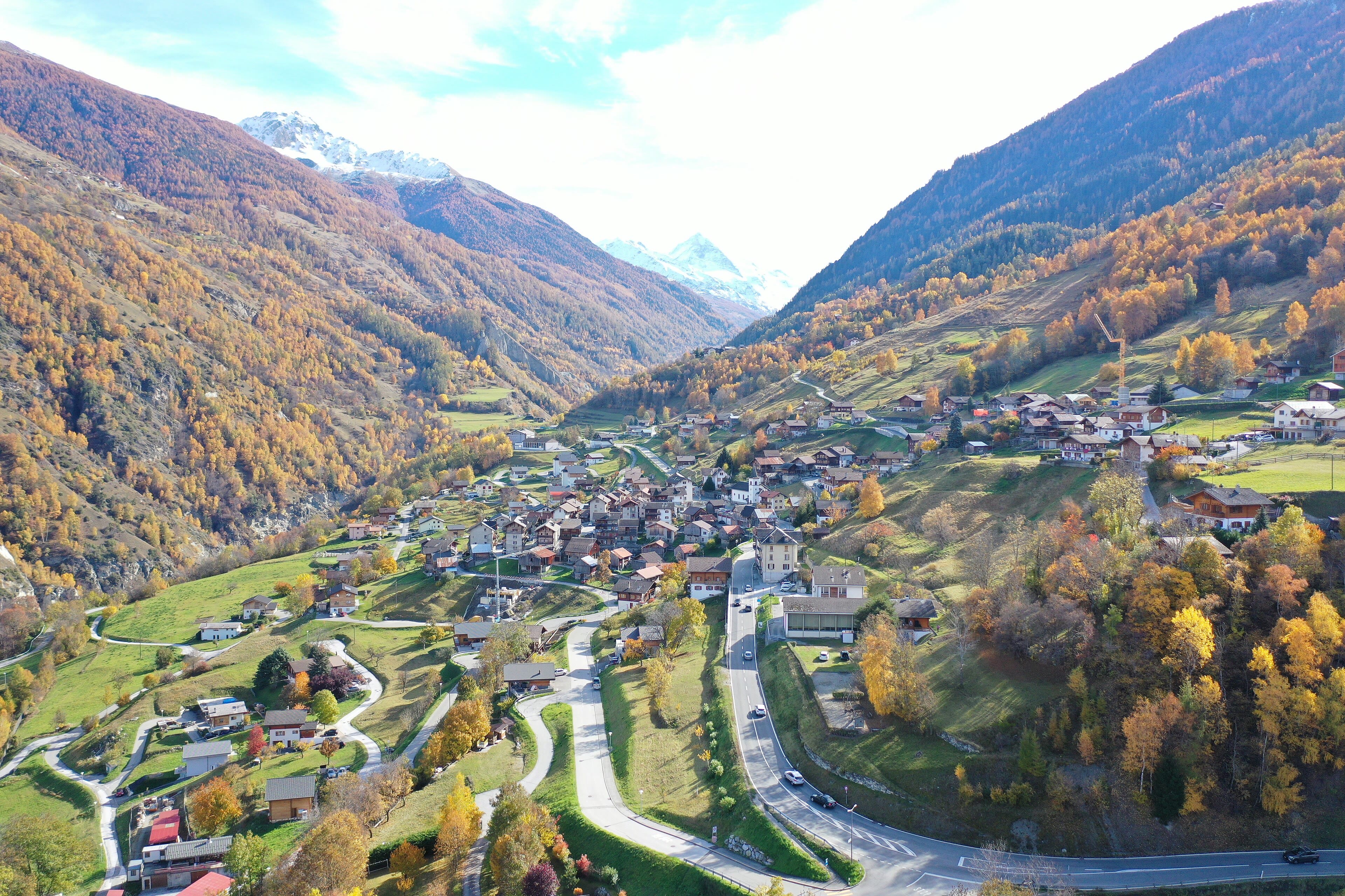
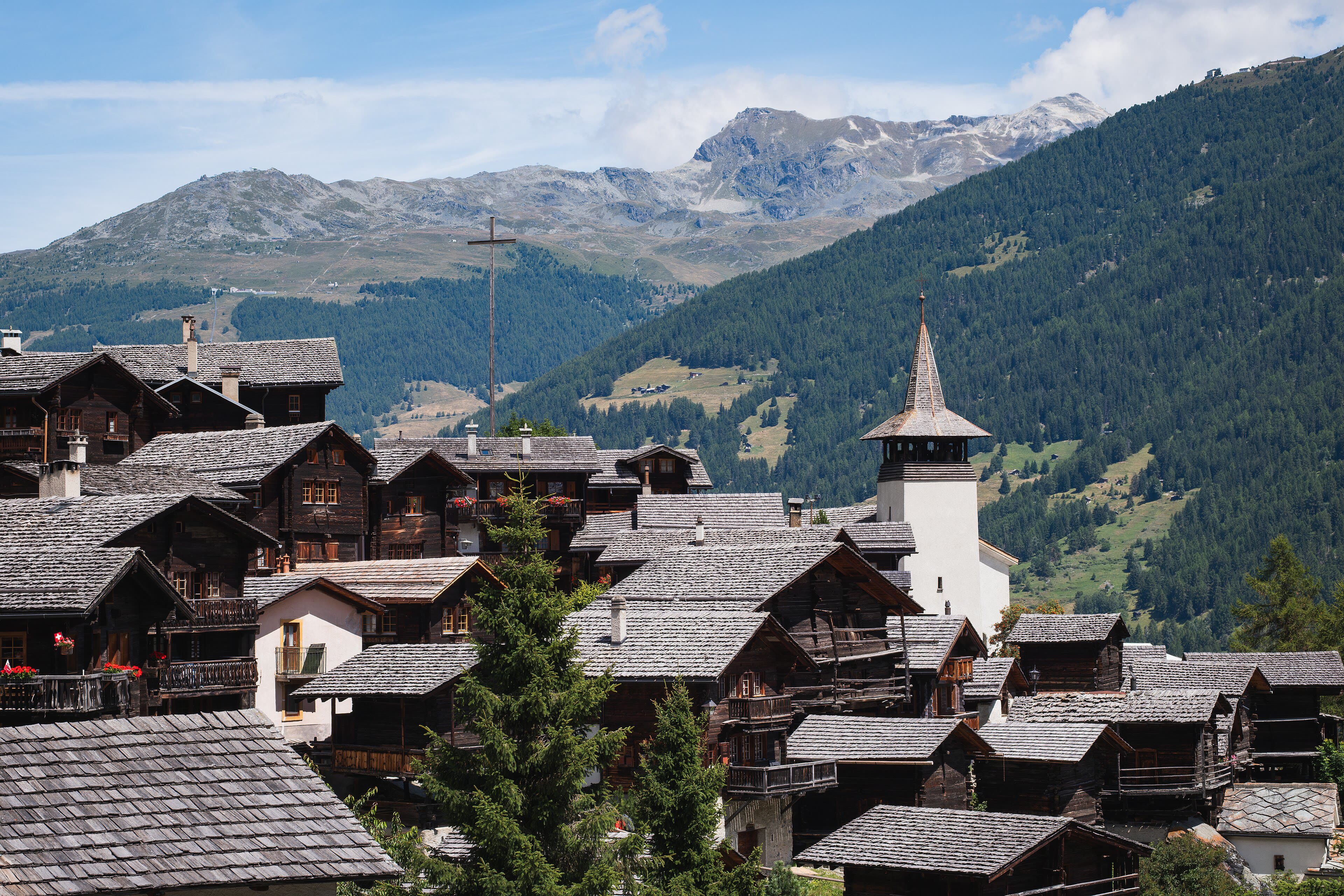
Evolène and the Val d’Hérens
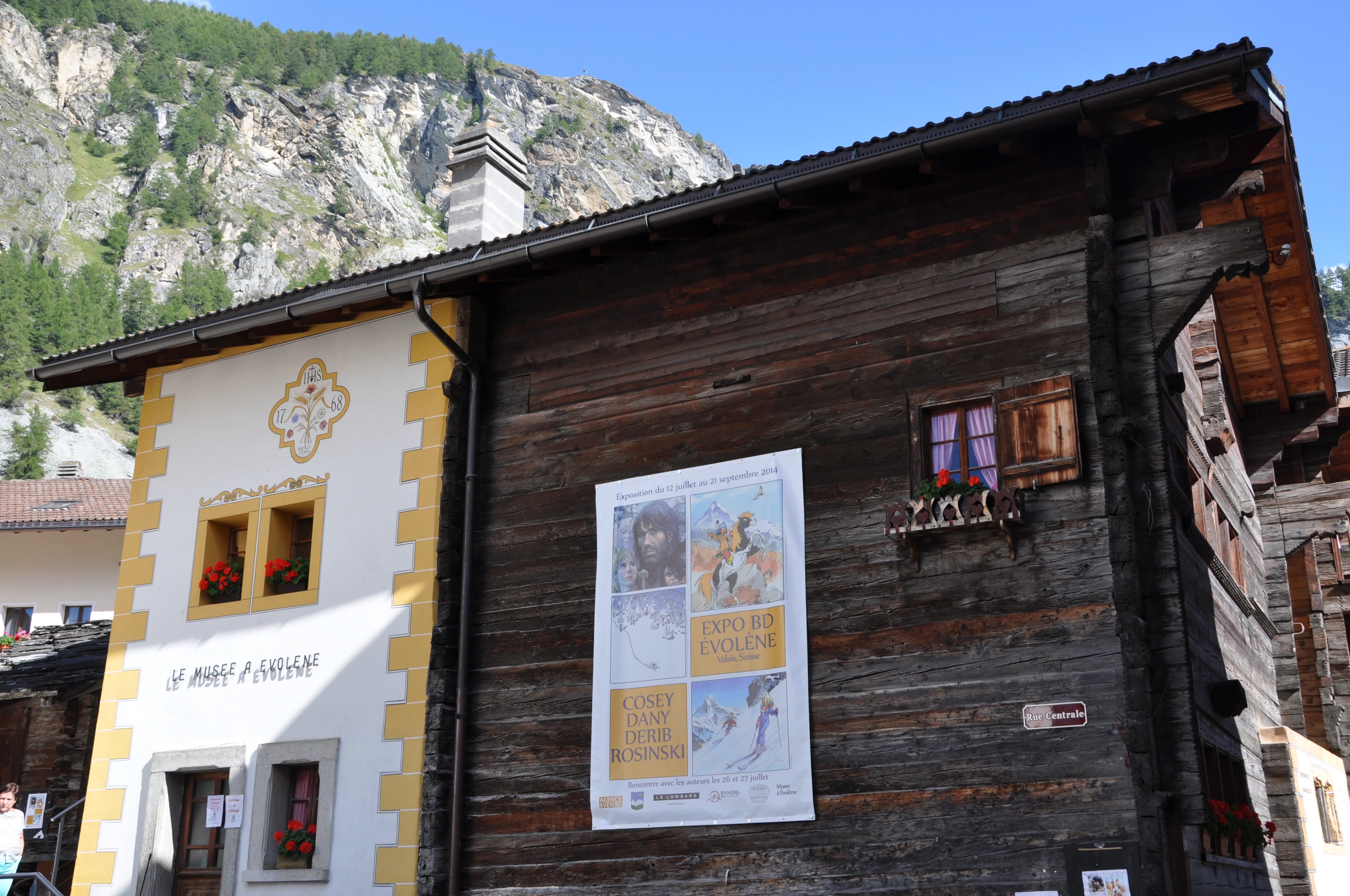
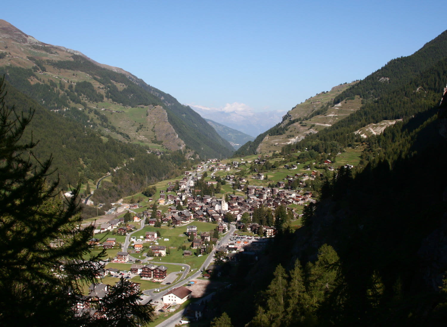
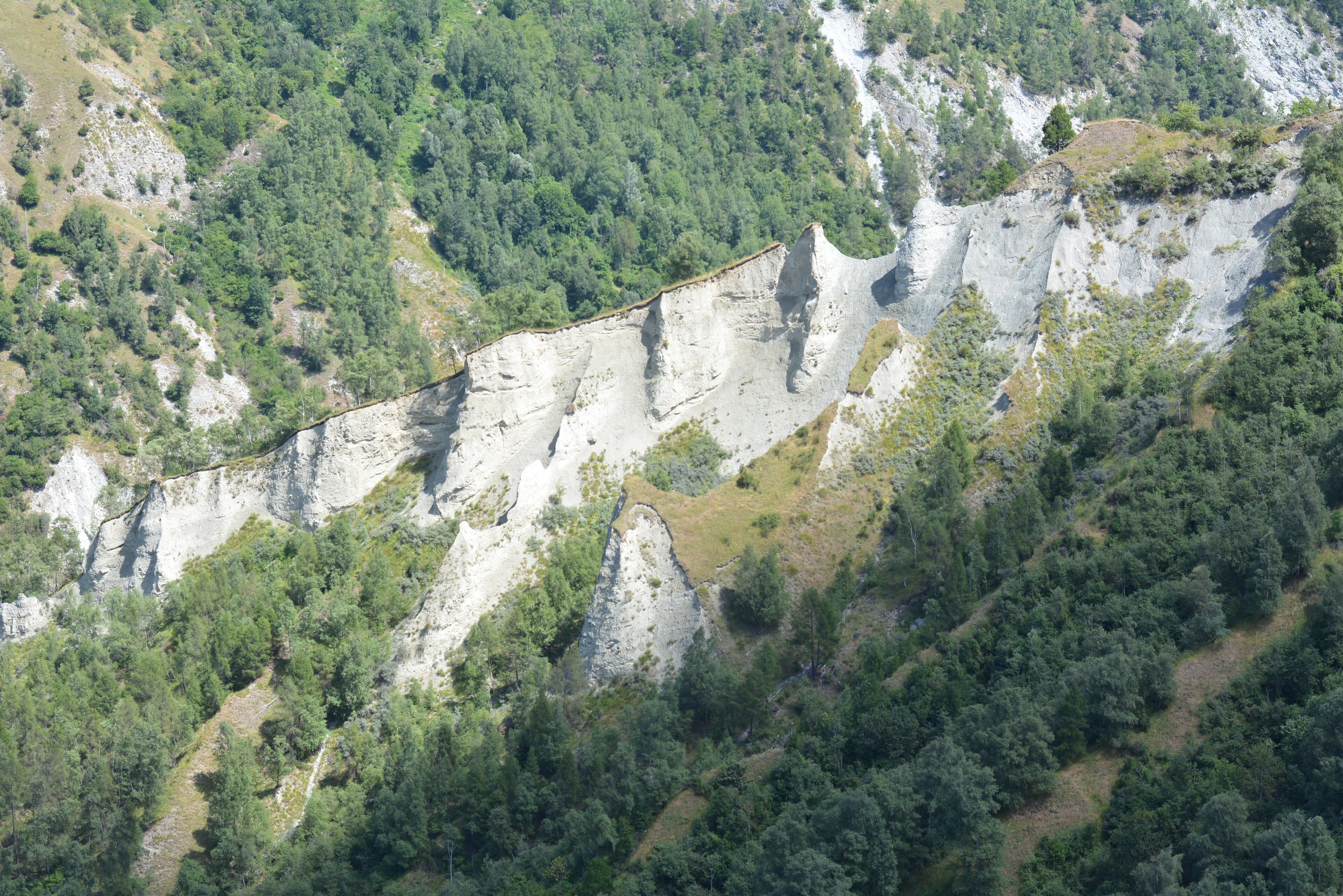
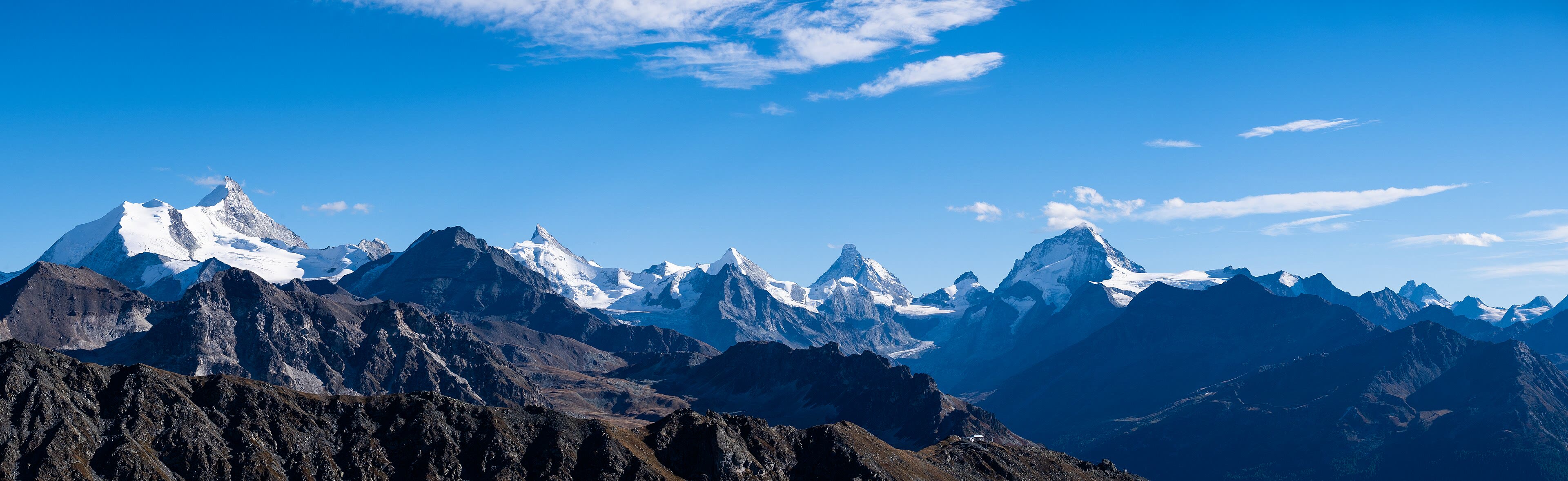
Down we go — properly down, off the high tops and into one of the most beautiful lived-in valleys in Switzerland. The Val d'Hérens keeps the old Valais alive: sun-blackened wooden villages stacked on the slopes, granaries standing on their mushroom stones, and at Les Haudères and Evolène, a valley that still speaks its own patois and dresses for its festivals like the century never turned. On the way down the valley we pass the pyramids of Euseigne — strange stone cones standing in a row in the gorge, each wearing a boulder on its head like a hat it refuses to take off; the soft rock erodes, the hard capstone protects its own little tower, and geology does the sculpture. Evolène sits under the white wall of the Dent Blanche, four thousand three hundred and fifty-seven metres of it, and the village looks up at it the way other villages look at a church tower. Tonight: raclette, and a bed that doesn't sway when the wind gets up.
See this place in the galleryEvolène and the Val d’Hérens — our interpretation, created from the reference photographs belowReference photographs — Evolène and the Val d’Hérens · 4 photographs
Grimentz and Zinal — The Imperial Crown
We cross into the next valley east, the Val d'Anniviers, and it is a valley of two characters. Grimentz first: an old village of dark timber and geraniums, famous among walkers for the glacier wine in its cellar — a barrel that is never emptied, only topped up year on year, so that every glass holds a little of harvests going back generations. Drink it slowly; it has waited long enough. Then the path climbs the valley's head to Zinal, a small resort village in a great cirque of four-thousand-metre peaks, and above it all, the Weisshorn: four thousand five hundred and five metres of perfect pyramid, the mountain the Victorians crossed Europe just to look at. They called this whole crown of peaks the Imperial Crown, and from Zinal's meadows on a clear evening, watching the light go rose on the ice, the name does not feel like an exaggeration. Tomorrow we cross the last high pass of the walk. The Matterhorn is on the other side of these mountains now. Close.
See this place in the galleryGrimentz and Zinal — The Imperial Crown — our interpretation, created from the reference photographs belowReference photographs — Grimentz and Zinal — The Imperial Crown · 3 photographs
Over the Meidpass to Gruben
The last great climb. Out of the Anniviers we haul up to the Meidpass, two thousand seven hundred and ninety metres, and the walk changes language under our feet — literally: we leave French-speaking Valais at the top and drop into the German-speaking Turtmanntal, the quietest valley of the whole crossing. Gruben sits in its green bowl at the valley's head: a handful of chalets, a little church, hay meadows, and the Turtmann glacier closing the view at the far end. After the famous valleys — Chamonix, Zermatt waiting ahead — Gruben is the Haute Route's secret, a place the crowds never reach because the only way in is the way we came, or out the long valley road. The cowbells are the loudest thing here. My boots come off on the chalet steps and the whole walk so far replays itself: the Midi's ice, the Désert's stones, the long lake, the wine. One valley left. Sleep early — the Mattertal tomorrow, and then you'll see.
Over the Meidpass to Gruben — our interpretation, created from the reference photographs belowReference photographs — Over the Meidpass to Gruben · 3 photographs
St Niklaus and the Mattertal — The Reveal
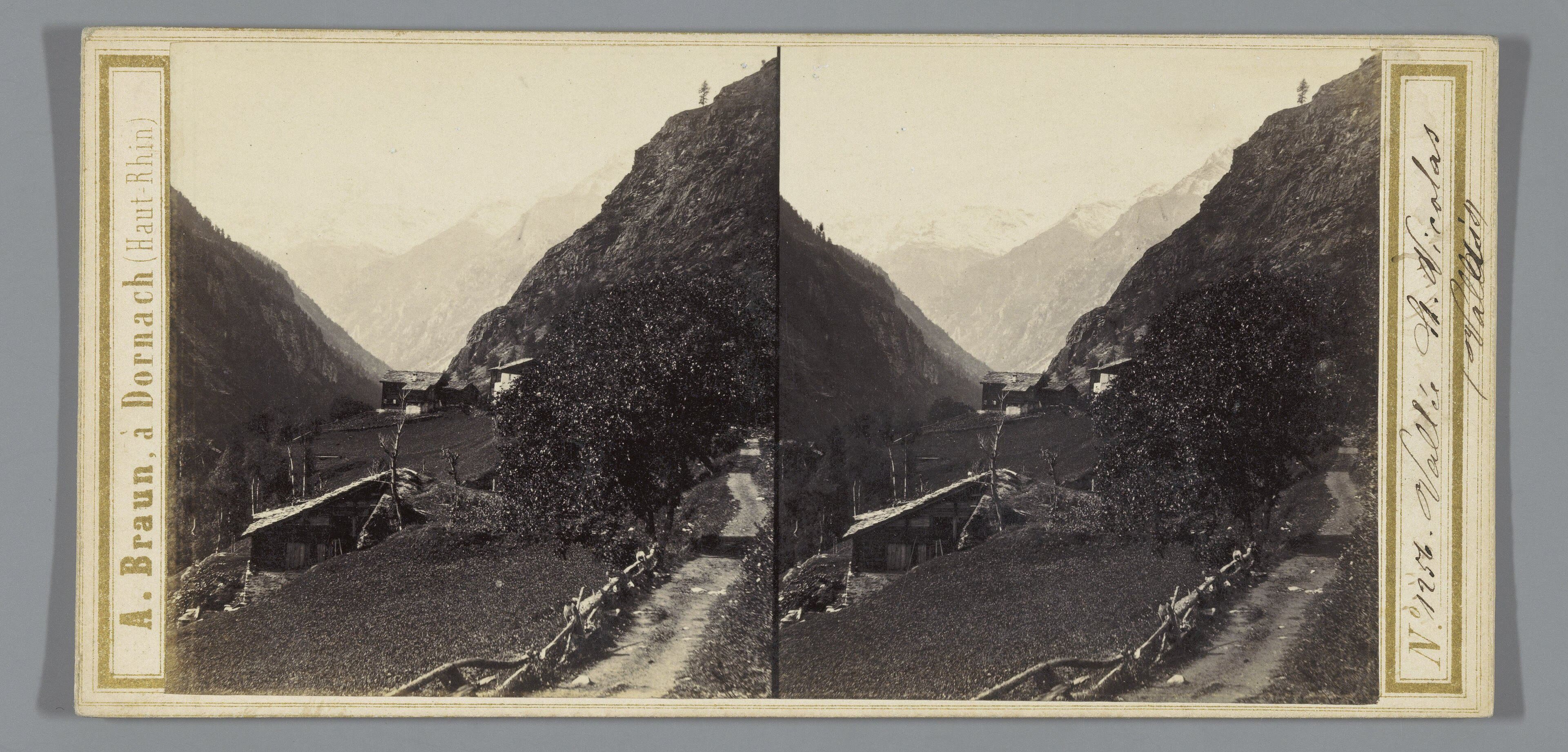
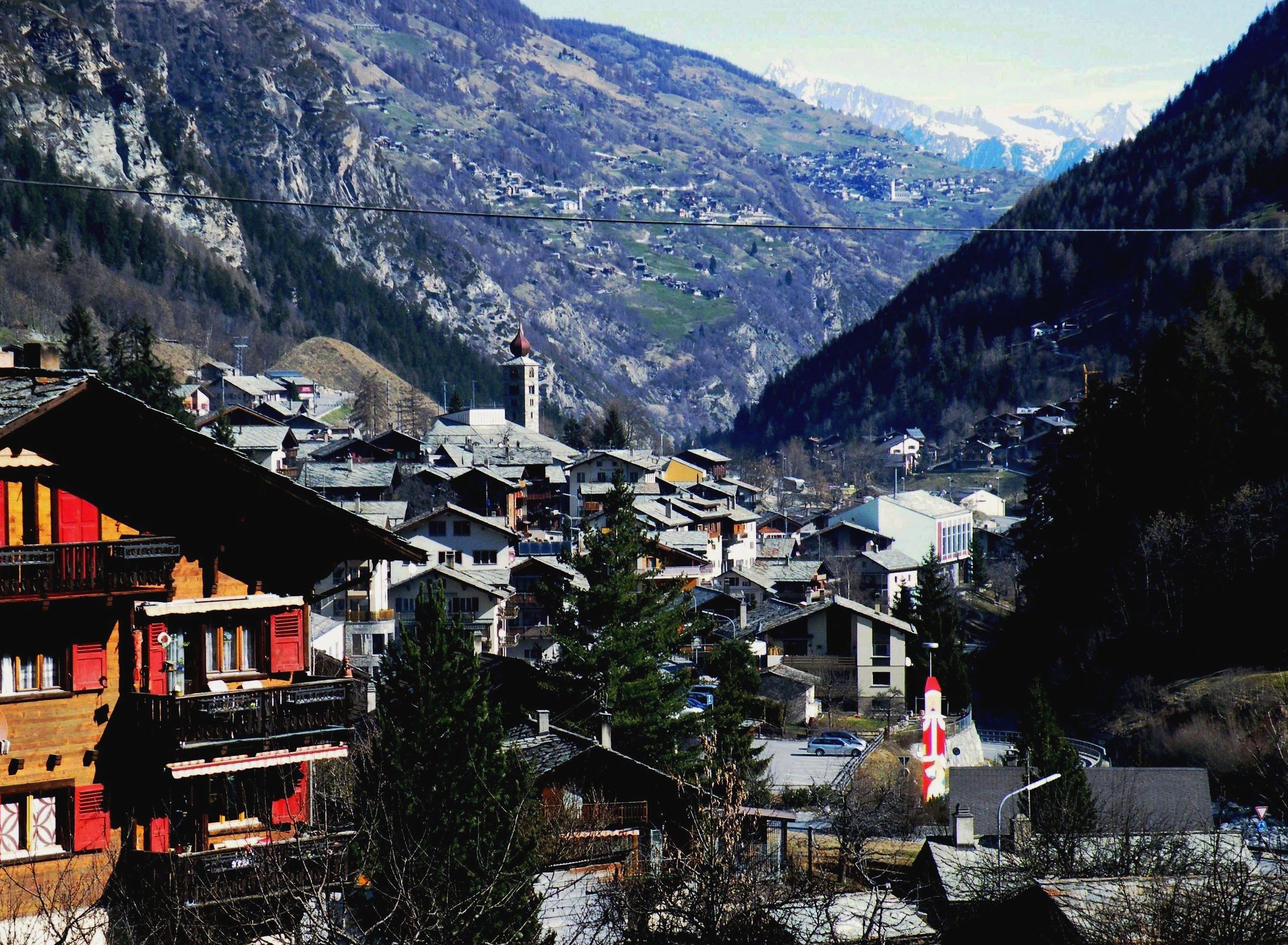
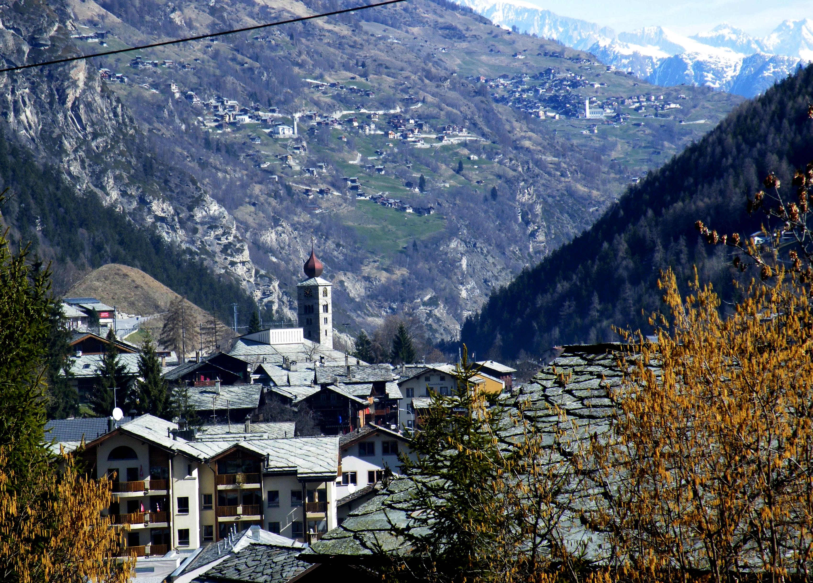
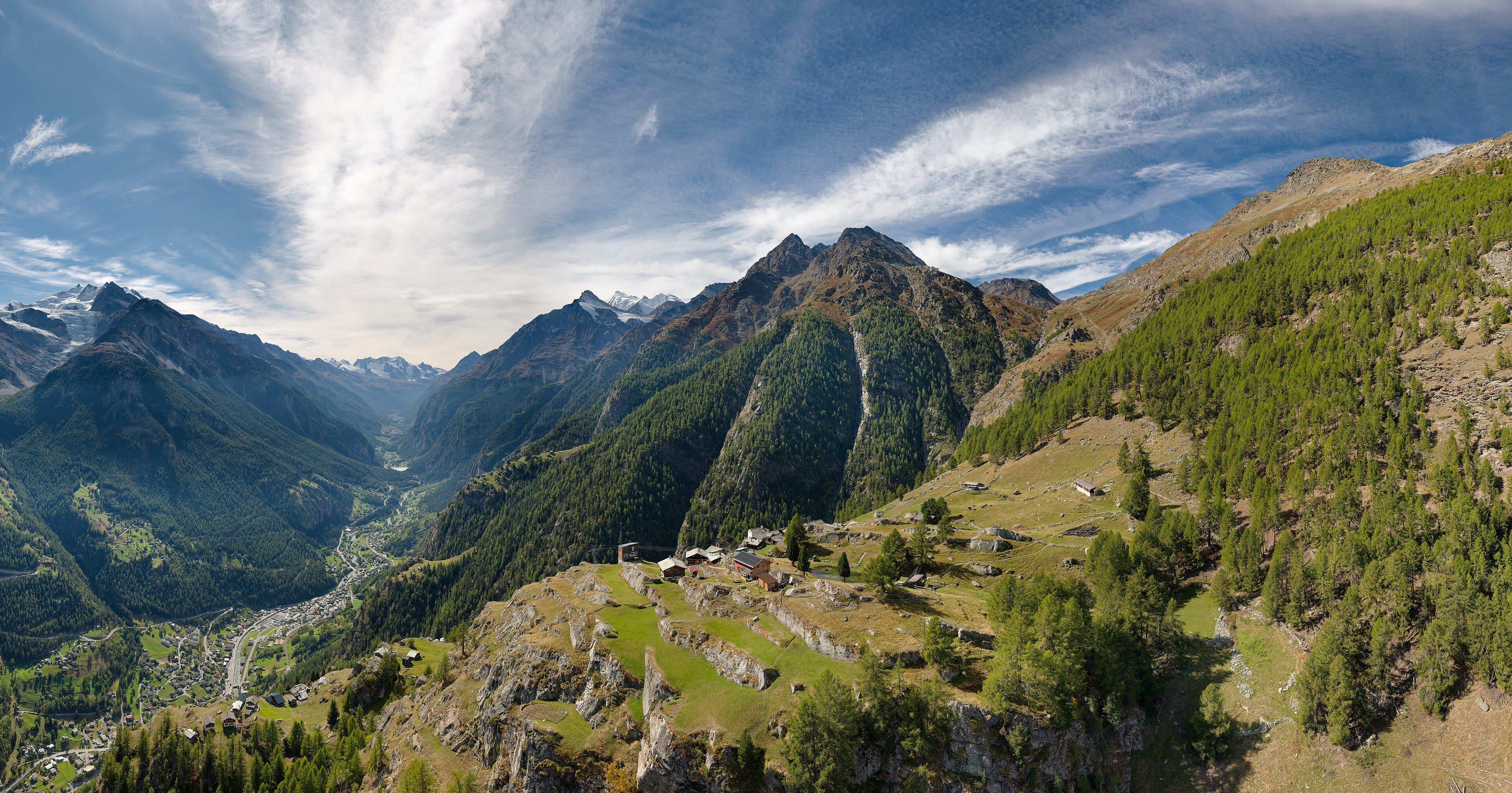
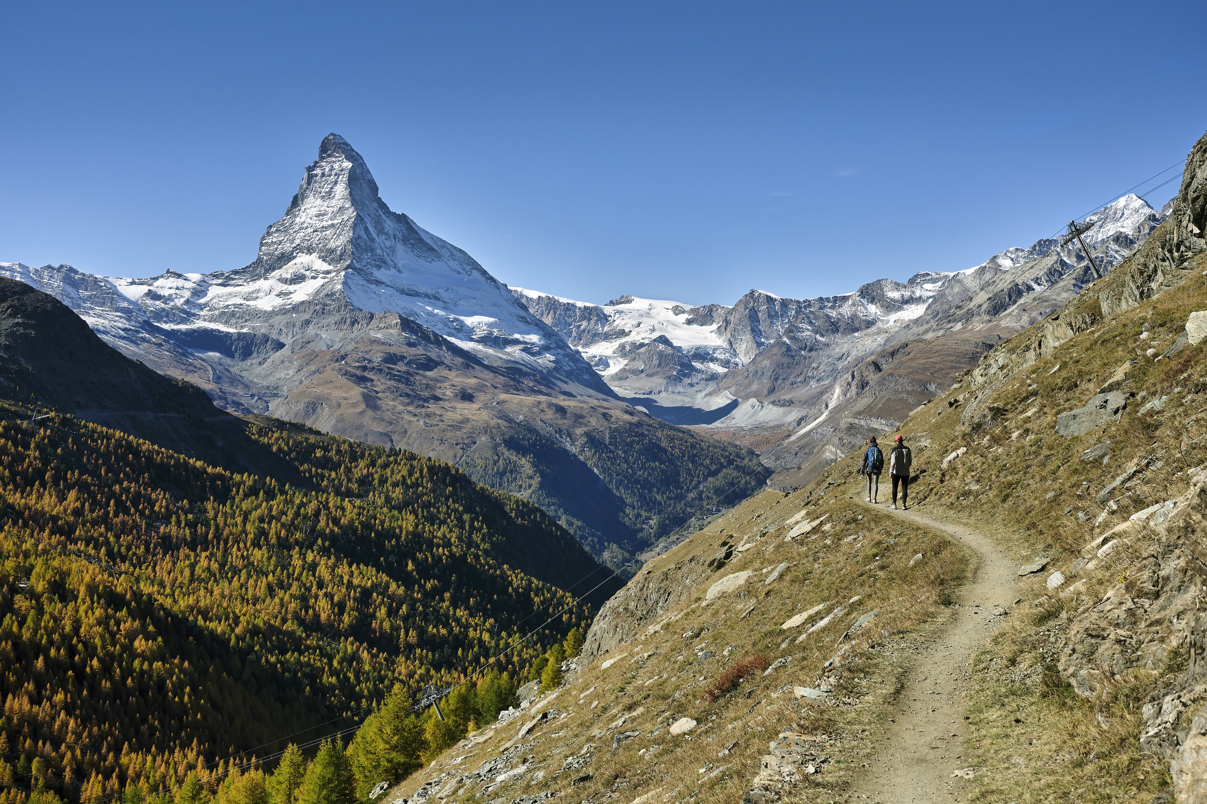
Down the long green Turtmanntal and into the Mattertal, the valley that leads to the mountain — and the mountain, polite to the end, keeps itself hidden. We walk through St Niklaus, the valley's old guide village, past the little museum that remembers the men who first climbed everything in sight, and the valley narrows and deepens around us: walls of rock, the Vispa river white below, villages — Herbriggen, Randa — clinging to the gentler ground. And still the Matterhorn hides. It is the best stage management in the Alps: the whole valley is a corridor built to one reveal, and the corridor does not hurry. Walkers coming the other way grin at you — they know. Then, past Randa, the corridor bends, the walls fall back, and there it is, suddenly, completely: the pyramid, alone against the sky, bigger than every photograph. Four thousand four hundred and seventy-eight metres, and worth every step of the tease. Zermatt is an hour below it. Walk slowly now. This is the part you tell people about.
See this place in the gallerySt Niklaus and the Mattertal — The Reveal — our interpretation, created from the reference photographs belowReference photographs — St Niklaus and the Mattertal — The Reveal · 4 photographs
Zermatt and the Matterhorn
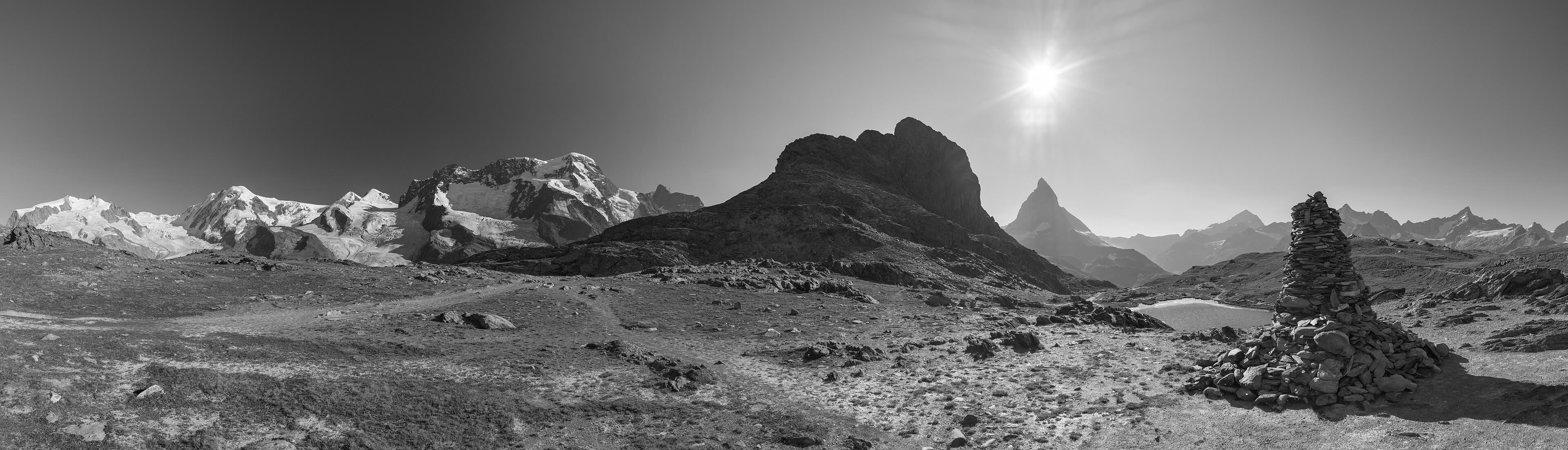
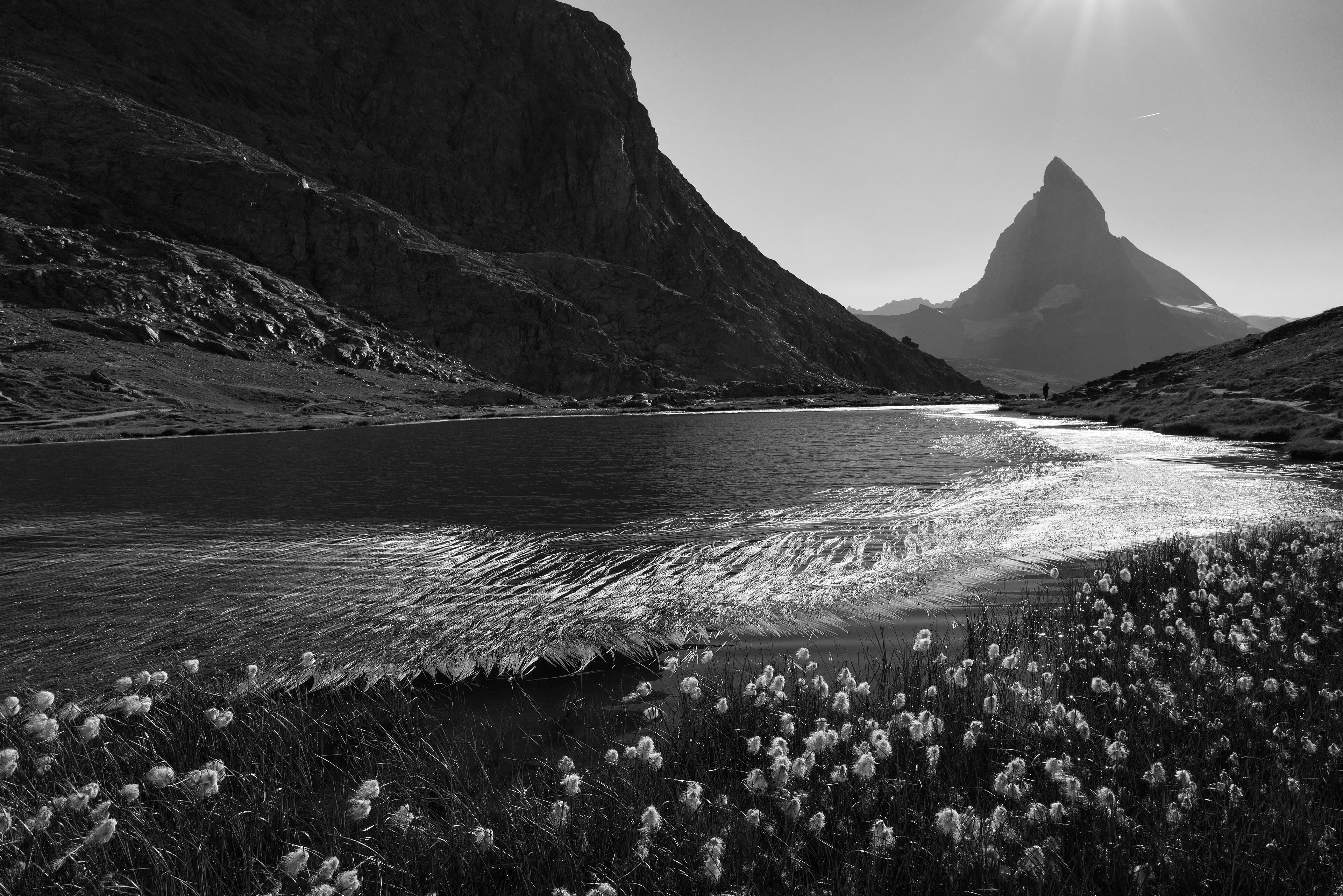
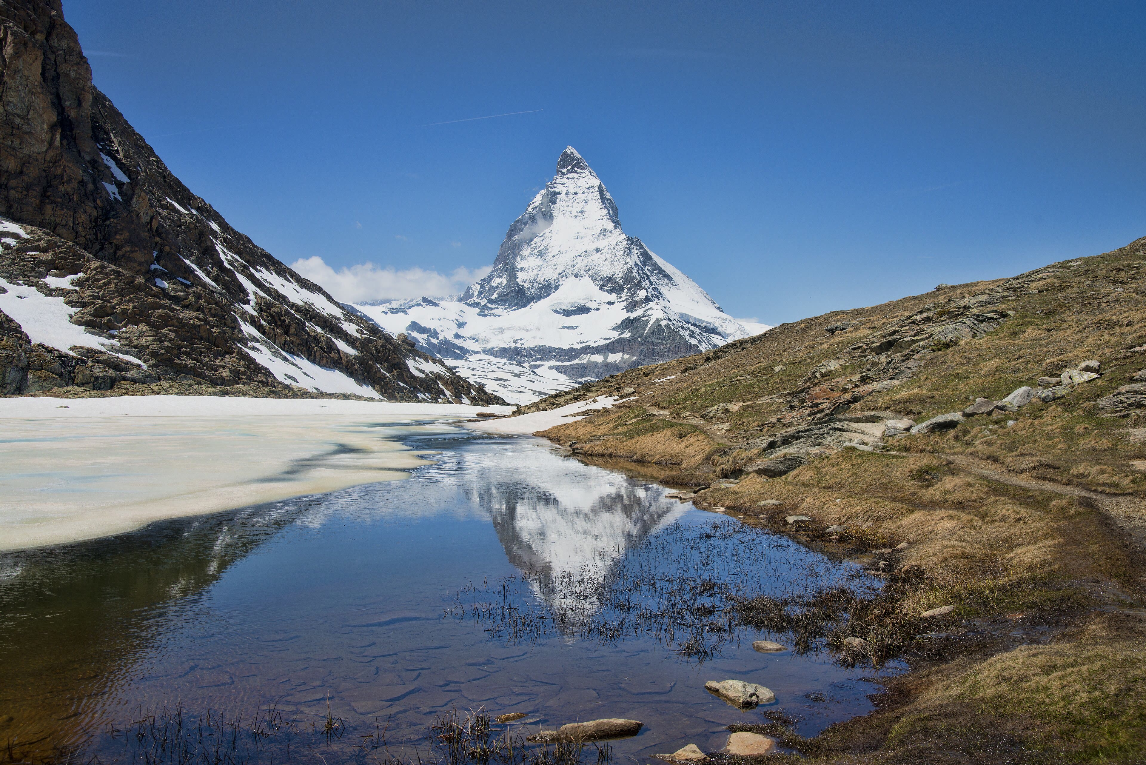
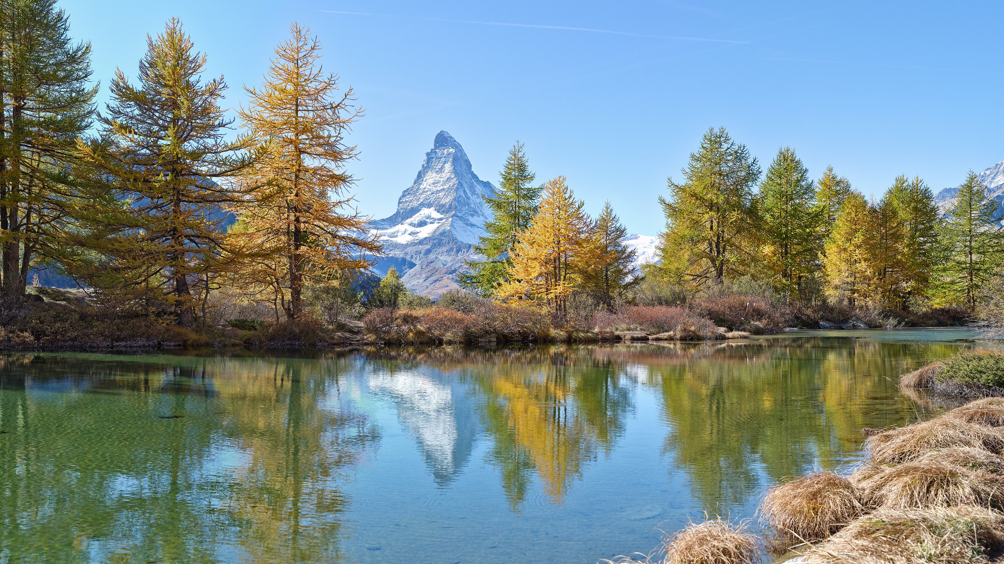
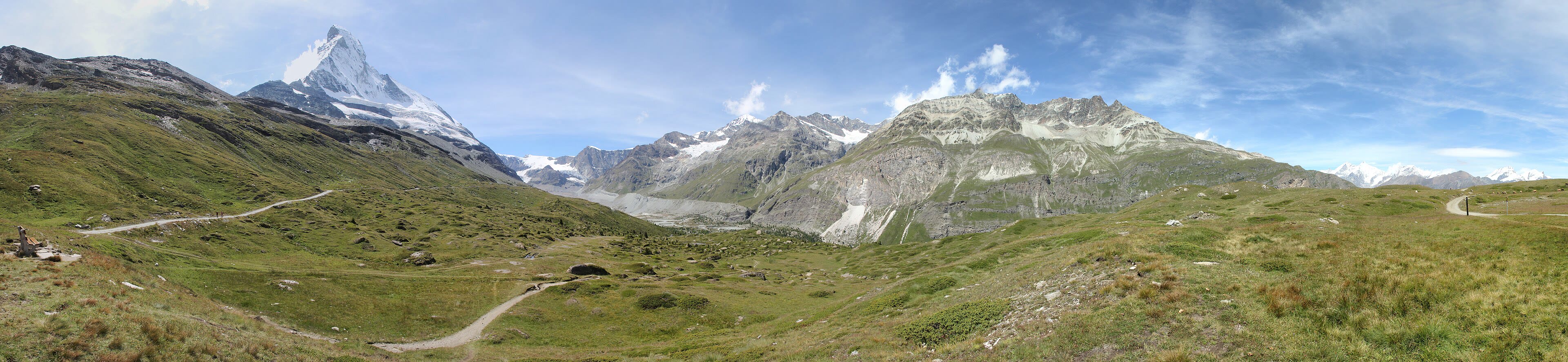
The walk ends where every walker wants it to end: in Zermatt, under the mountain. No cars — the village banned them, and keeps its lanes for boots and cowbells and the little electric carts that buzz like bees. Walk the Hinterdorf in the morning, the old quarter of sun-blackened barns and chalets, some of them standing since the fifteen hundreds. Then give the mountain its due. The Matterhorn was the last of the great Alpine peaks to be climbed, in eighteen sixty-five, by Edward Whymper's party — and four of the seven men fell to their deaths on the descent, a mile down the very face you are looking at. The little climbers' cemetery by the church keeps their names; a walker should stop there. And on the last evening, take the path up to the Riffelsee if the air is still: the mountain doubles itself in the lake, and the whole walk — Chamonix to here, pass by pass — stands reflected with it. The Long Way turns south and east from here. The Dolomites are waiting. But not tonight.
See this place in the galleryZermatt and the Matterhorn — our interpretation, created from the reference photographs belowReference photographs — Zermatt and the Matterhorn · 6 photographs
Chapter Four — The Bernese Oberland
8 scenes · 26 reference photographs
Interlaken and the Two Lakes
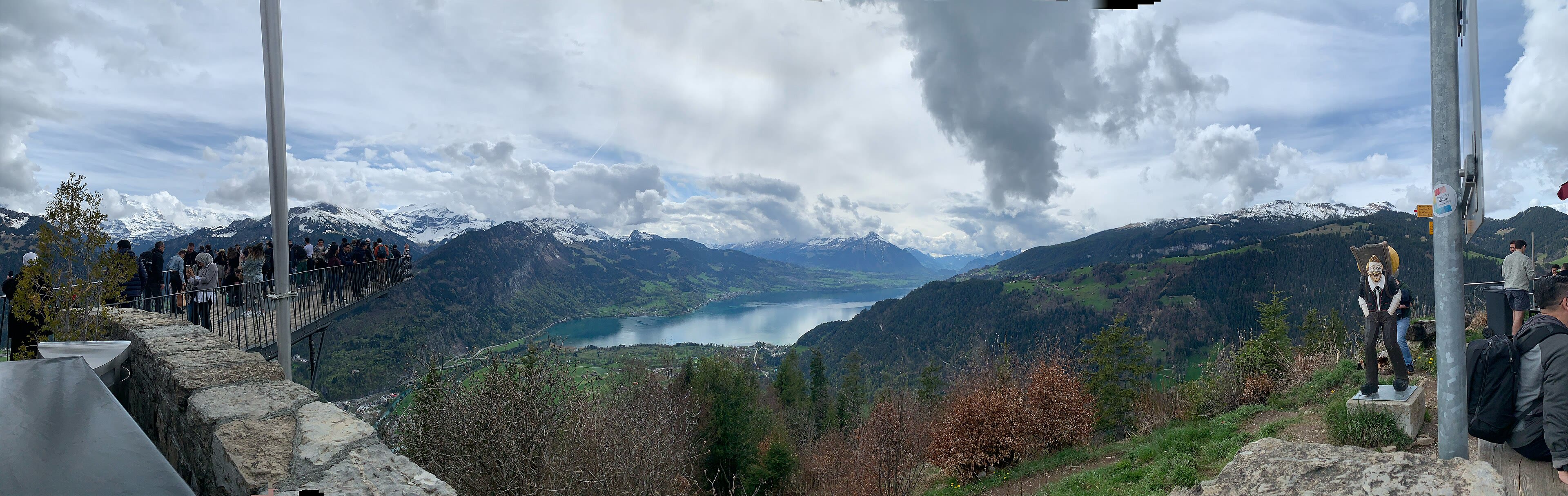
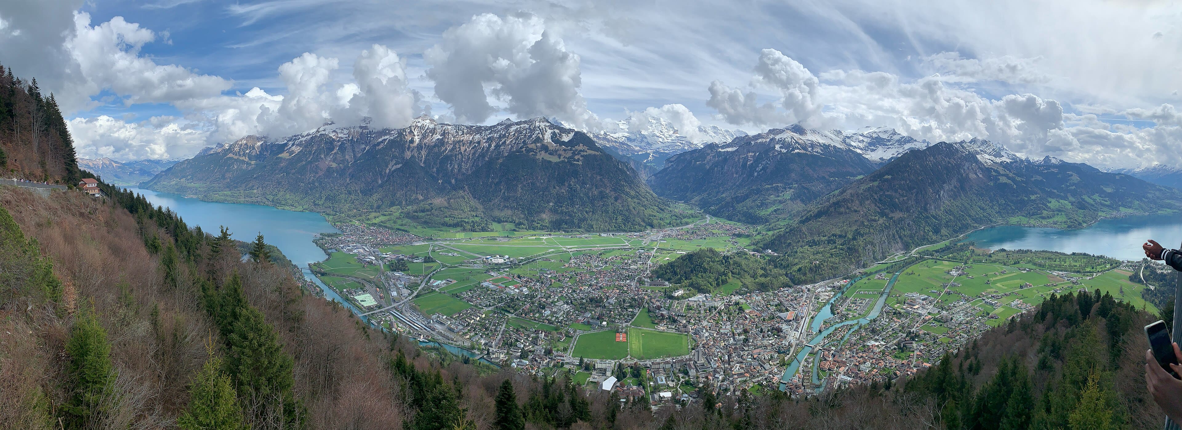
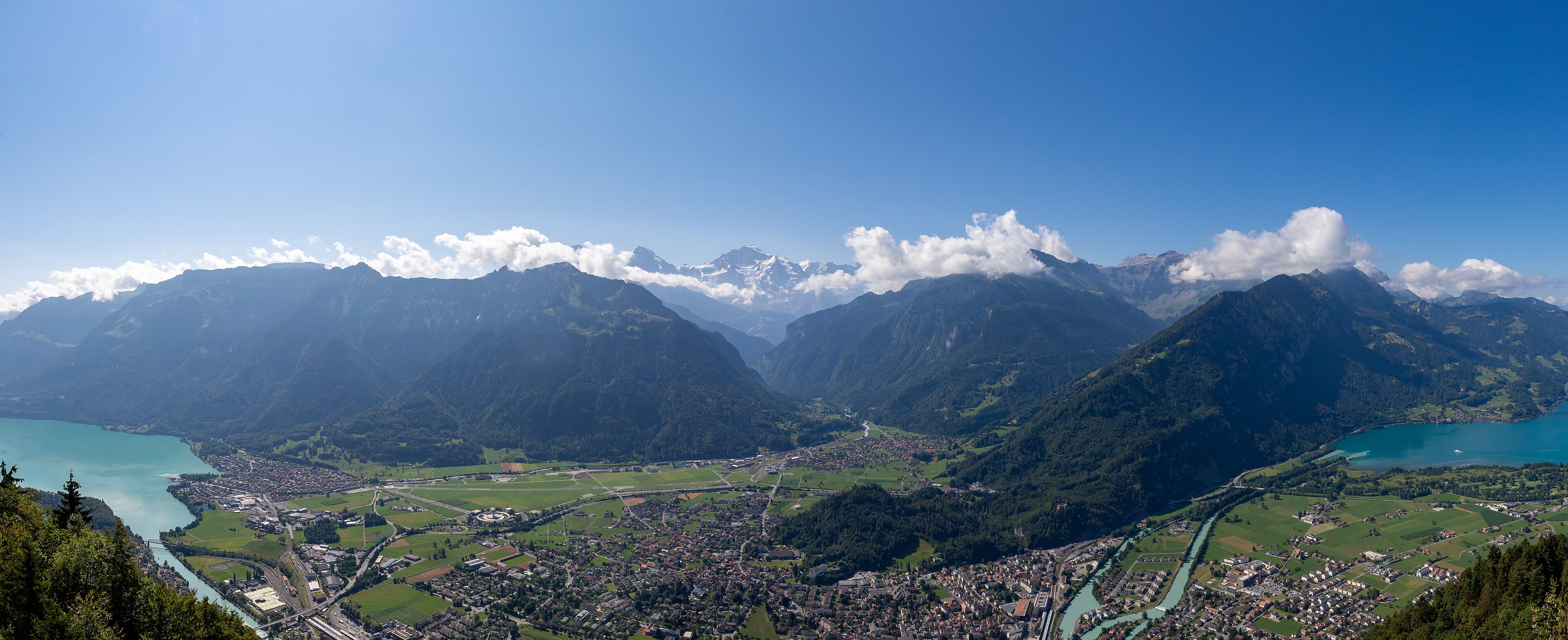
The high Alps end for a while, and the walk comes down to the water. Interlaken does exactly what its name promises: it sits between two lakes, the Thunersee to the west and the Brienzersee to the east, two long ribbons of impossible turquoise laid out along the valley floor. The colour is real, by the way — glacial flour, rock ground to powder by the ice and held in the water, scattering the light. Boats have crossed these lakes for a hundred and fifty years, and the town between them grew up grand on the strength of it: great hotels along the Höheweg, built for the first tourists, who came to do what we are doing — look at mountains. Walk up to the Harder Kulm above the town, one thousand three hundred and twenty-three metres, and the whole chapter lies at your feet: the two lakes left and right, and straight ahead, framed between them, the white wall of the Jungfrau. That wall is where we are walking. Down for supper, and up into the high country tomorrow.
See this place in the galleryInterlaken and the Two Lakes — our interpretation, created from the reference photographs below
Lauterbrunnen, the Valley of Waterfalls
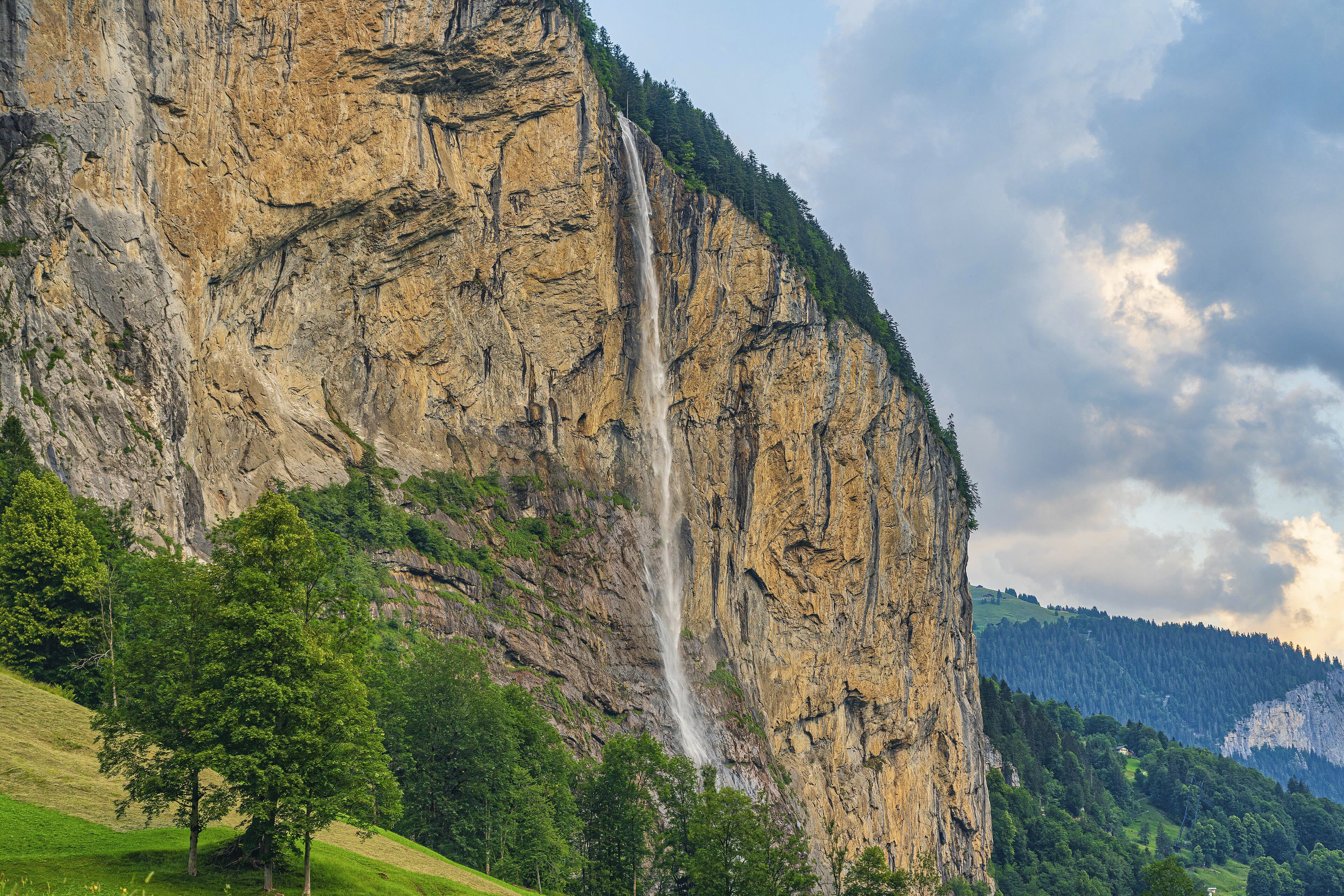
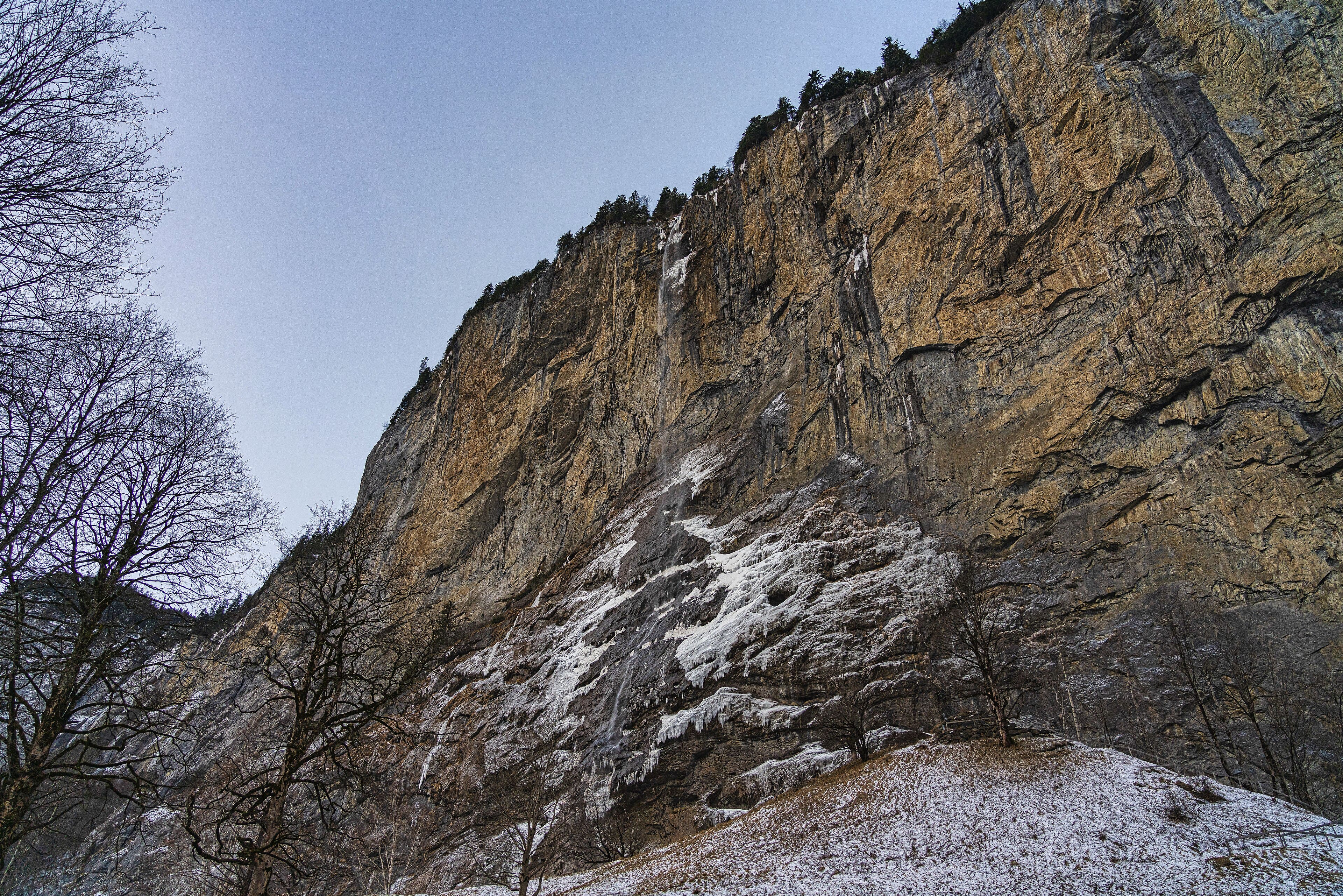
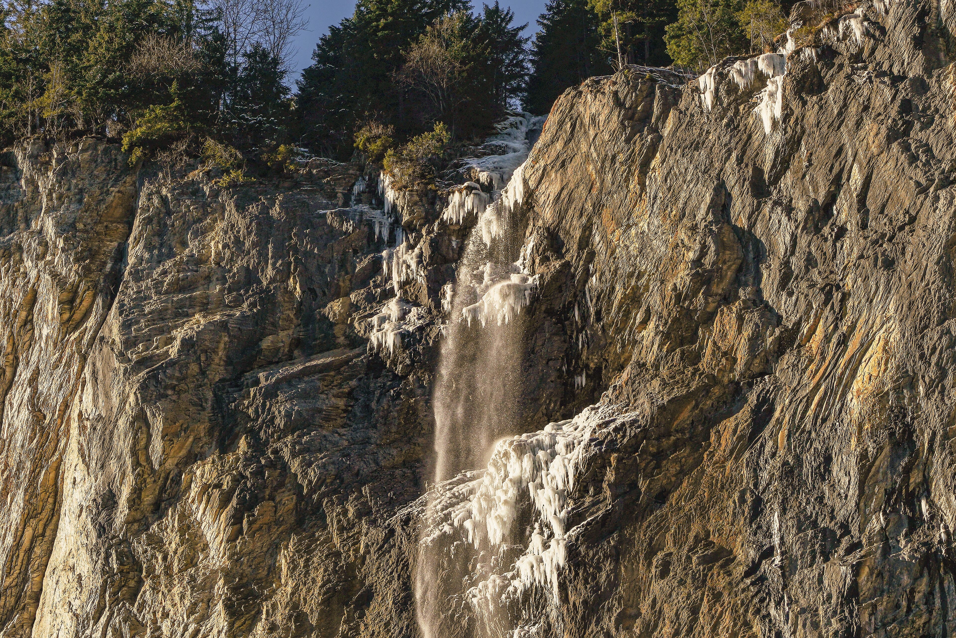
The train and the road run out, and the valley narrows to a corridor of cliffs — and then you hear it before you see it: water, falling everywhere. Lauterbrunnen is a deep, flat-bottomed trough cut by ice, and off its rim the streams come pouring in free fall. The valley claims seventy-two waterfalls, and on a wet spring day you stop doubting the count. The Staubbach drops two hundred and ninety-seven metres beside the village, dissolving into spray before it lands — a young Goethe stood here in seventeen seventy-nine and went home to write a poem about the spirit of water, and the falls have been famous ever since. Behind a rock face across the valley, the Trümmelbach drains the Eiger and Jungfrau glaciers through a cleft you can walk inside, ten falls thundering through the mountain's plumbing. But my favourite hour here is the quiet one: evening on the valley floor, cows drifting home through the meadows, and every cliff on both sides wearing its white thread of falling water.
See this place in the galleryLauterbrunnen, the Valley of Waterfalls — our interpretation, created from the reference photographs below
Mürren, the Village on the Ledge
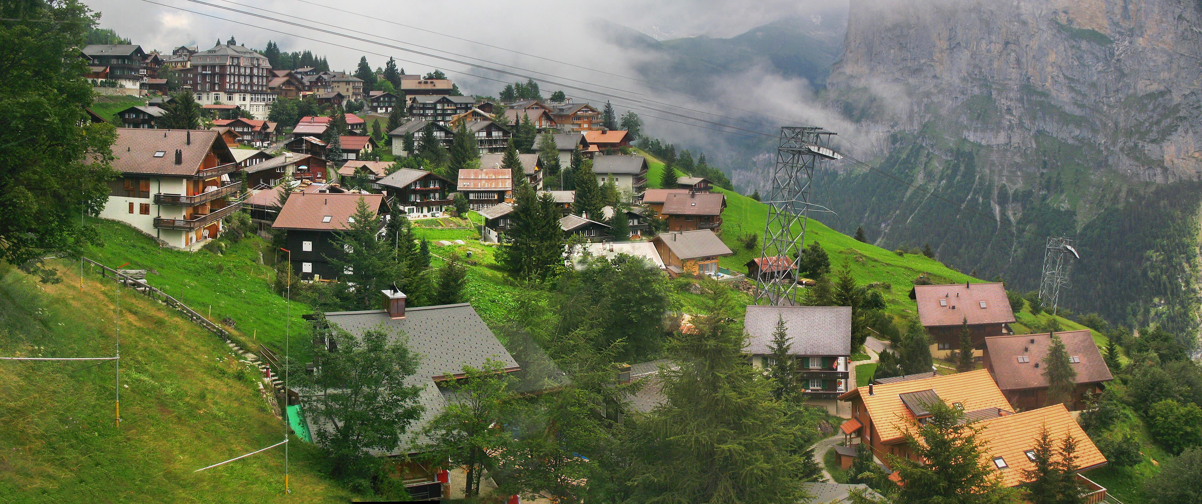
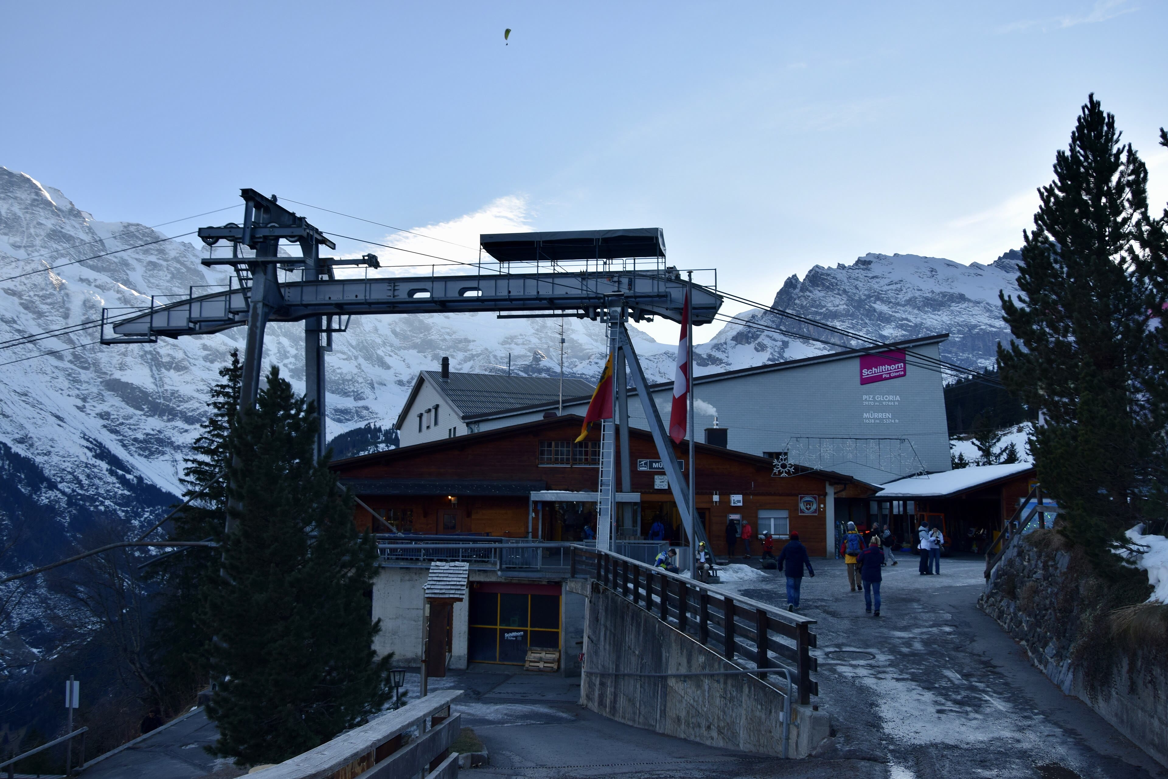
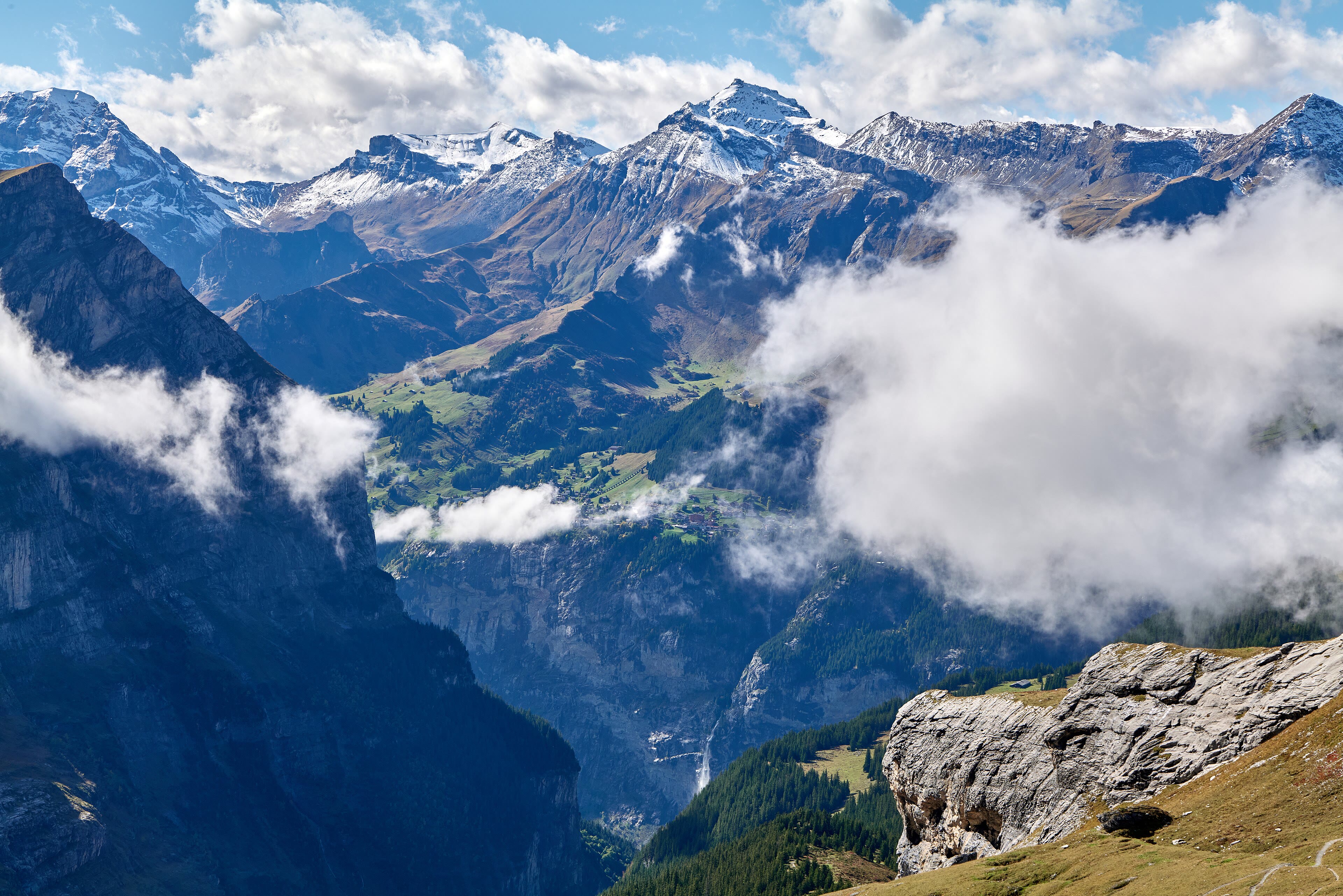
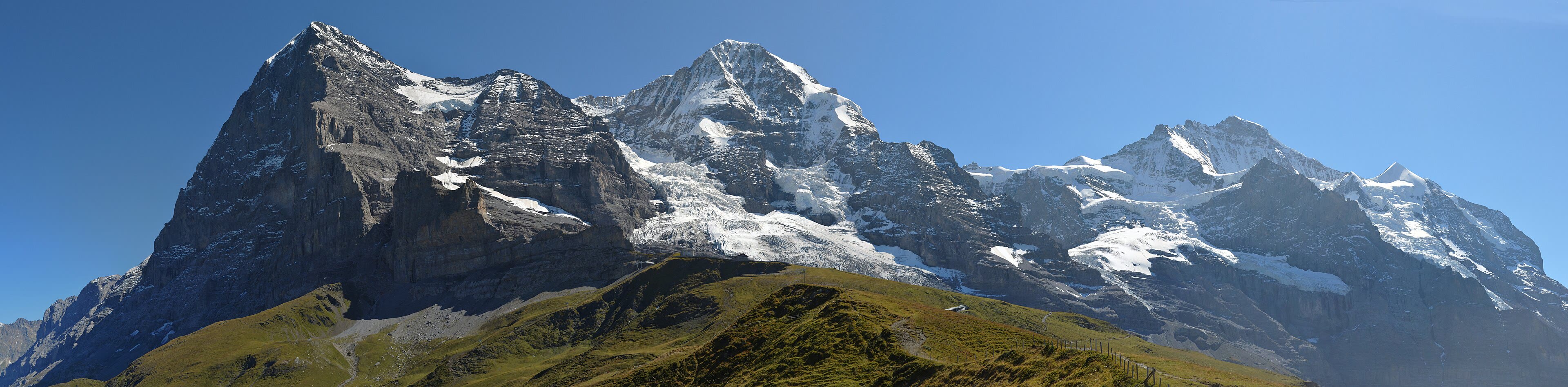
You reach Mürren the way you reach all the best places: on foot, or by a cable car that climbs the cliff like a lift going up the outside of a house. The village sits on a grassy ledge one thousand six hundred and thirty-eight metres up, directly across the valley from the great wall — Eiger, Mönch and Jungfrau in a row, filling the whole southern sky. There are no cars; there never have been. The lanes are for walkers and sledges and the little electric carts the hotels run, and in the evenings the loudest thing in the village is the cowbells coming down off the alp. Above the village, the Schilthorn turns at two thousand nine hundred and seventy metres — the film people put a revolving restaurant up there in nineteen sixty-nine and called it Piz Gloria, and James Bond skied off it; the mountain has been politely famous ever since. But Mürren's real luxury is simpler: breakfast on a wooden balcony, and that wall of ice and rock turning gold across the valley. Some places you walk to. This one you wake up in.
See this place in the galleryMürren, the Village on the Ledge — our interpretation, created from the reference photographs below
Wengen and Kleine Scheidegg
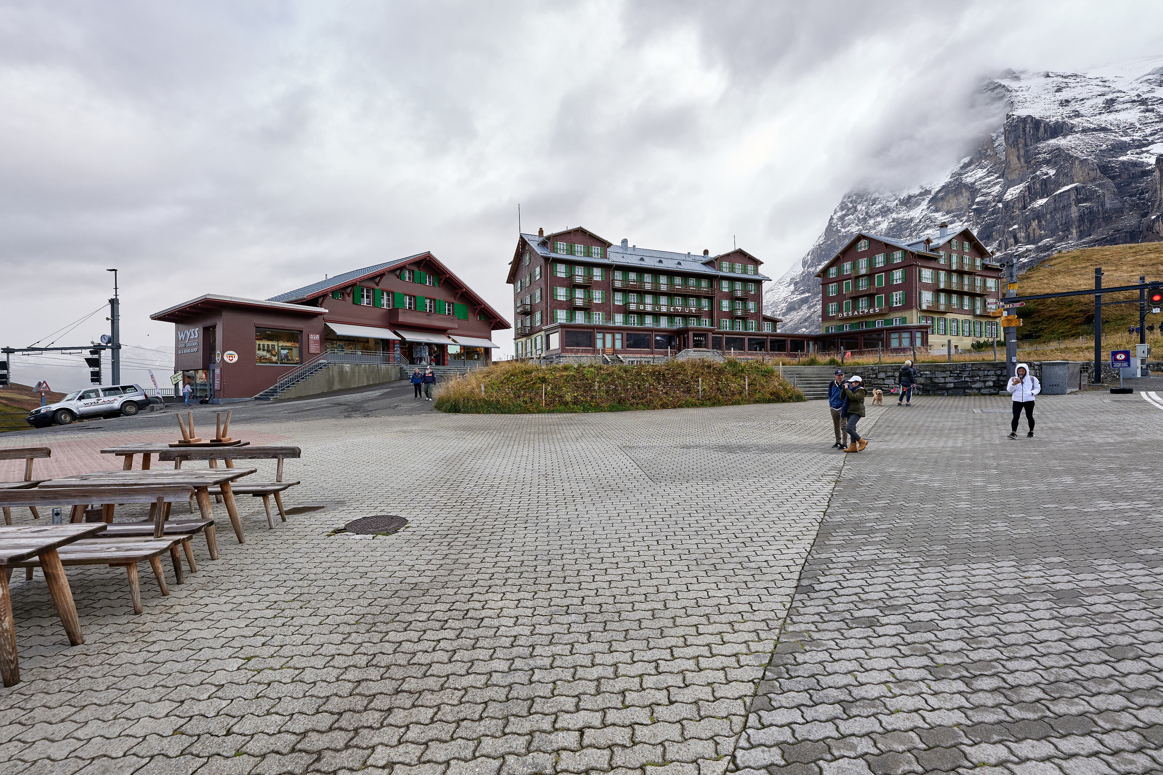
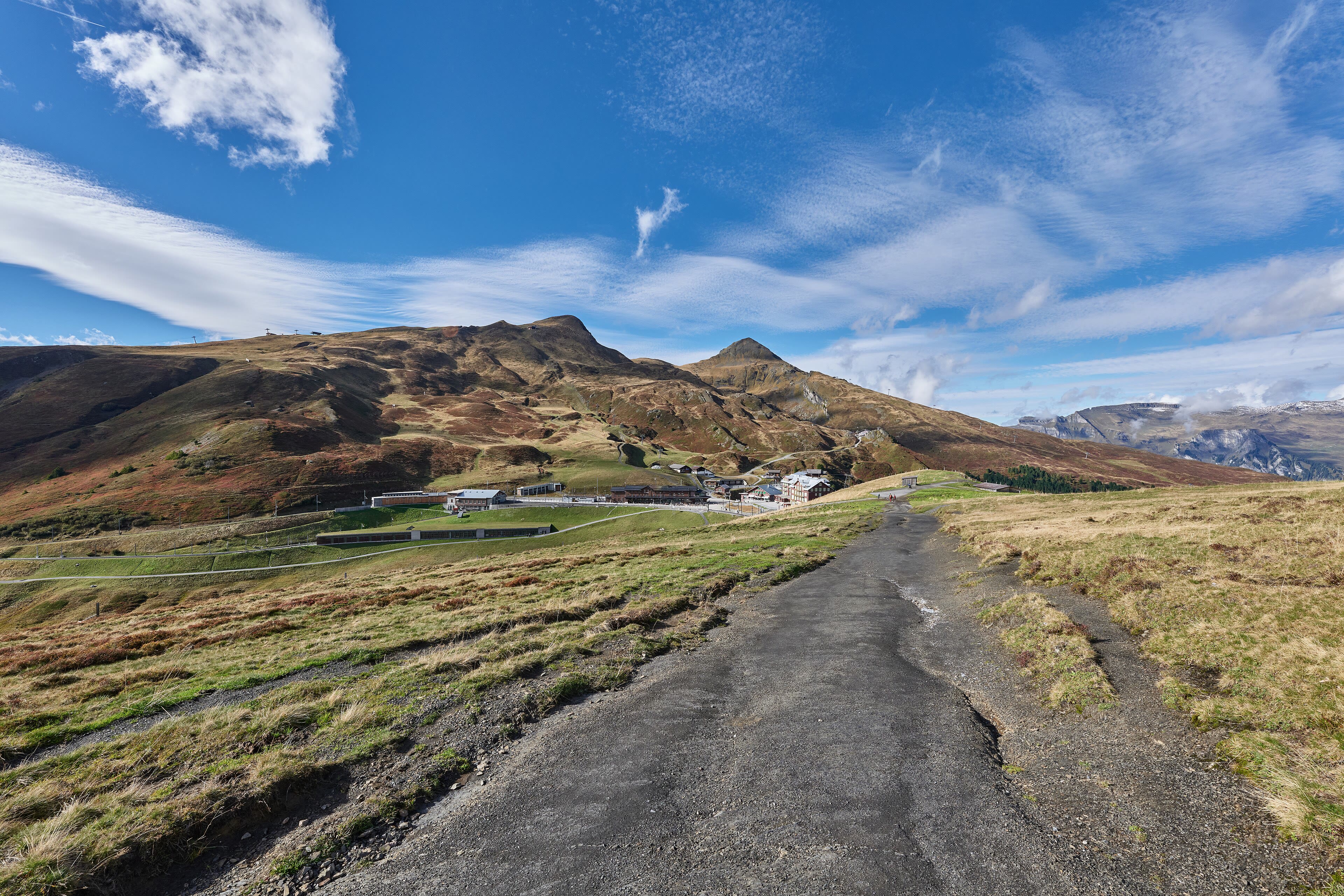
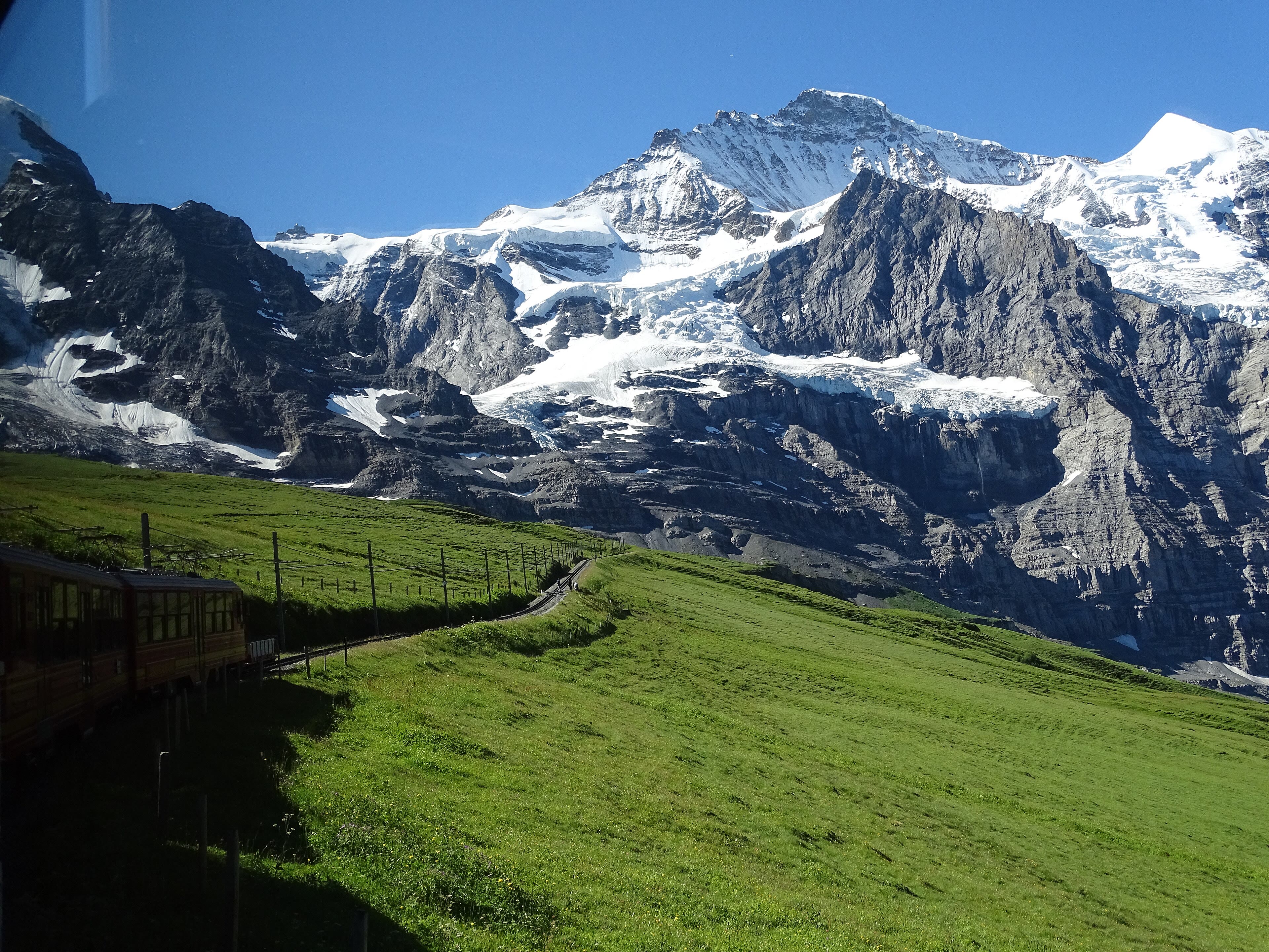
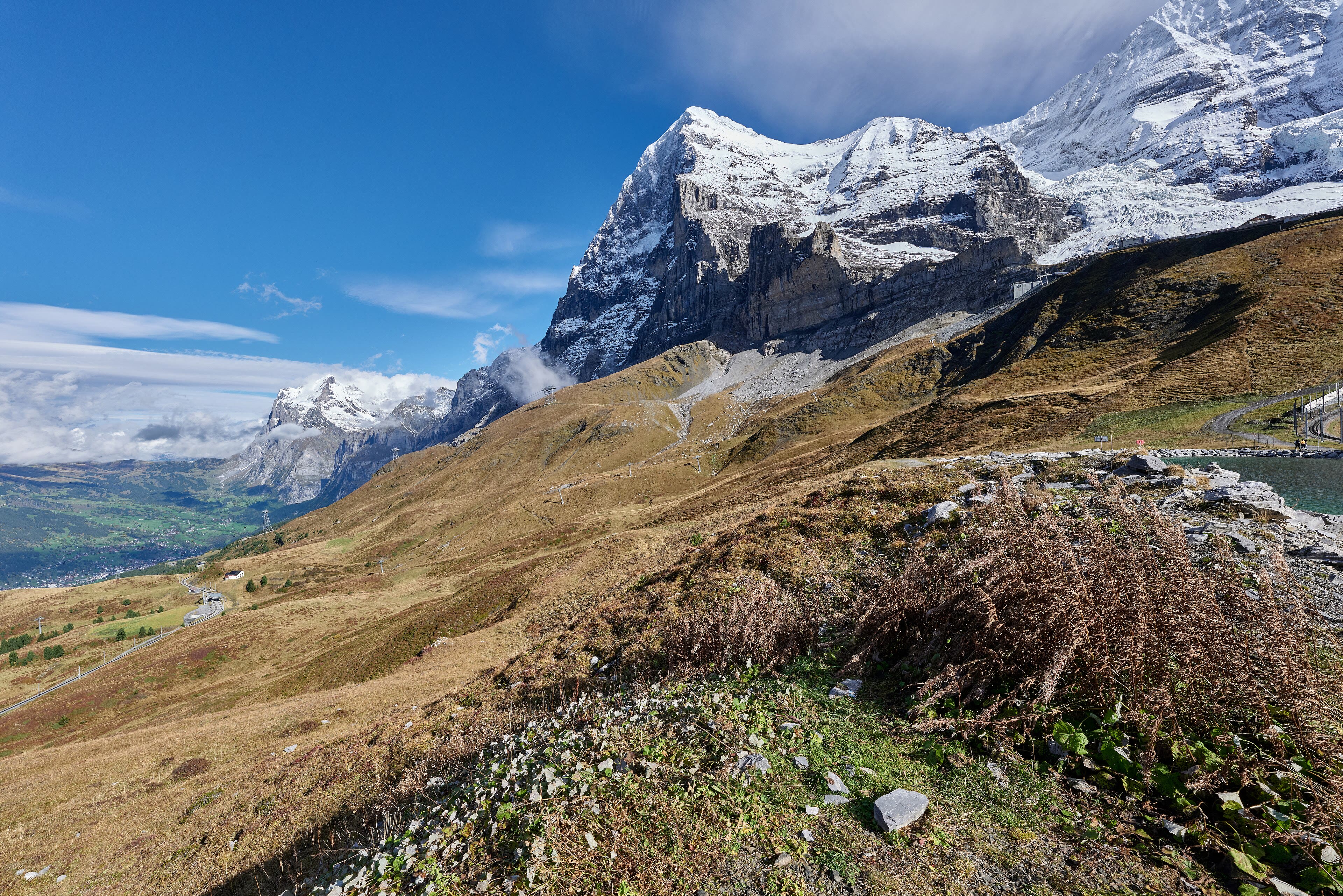
The path contours round from Mürren and climbs to Wengen, another car-free village on another sunny ledge, and then the walking gets serious — up through the pastures to the Kleine Scheidegg, the little pass at two thousand and sixty-one metres that sits in the very lap of the giants. This is one of the great mountain crossroads of the world. Trains grind up here from both valleys on the rack railway; the Jungfrau railway disappears into the Eiger from this station and climbs inside the mountain to the Jungfraujoch, three thousand four hundred and fifty-four metres up, the highest station in Europe — engineers finished that tunnel in nineteen twelve, with hand tools and stubbornness. Most walkers should take the walker's way instead: the Eiger Trail, which leaves this pass and runs for an hour along the very foot of the north wall. You will do it tomorrow. For tonight, the Scheidegg at dusk, when the day crowds have rattled away down the hill and the Mönch catches the last light, is as fine a place to be tired as Switzerland owns.
See this place in the galleryWengen and Kleine Scheidegg — our interpretation, created from the reference photographs below
Under the Eiger — Grindelwald
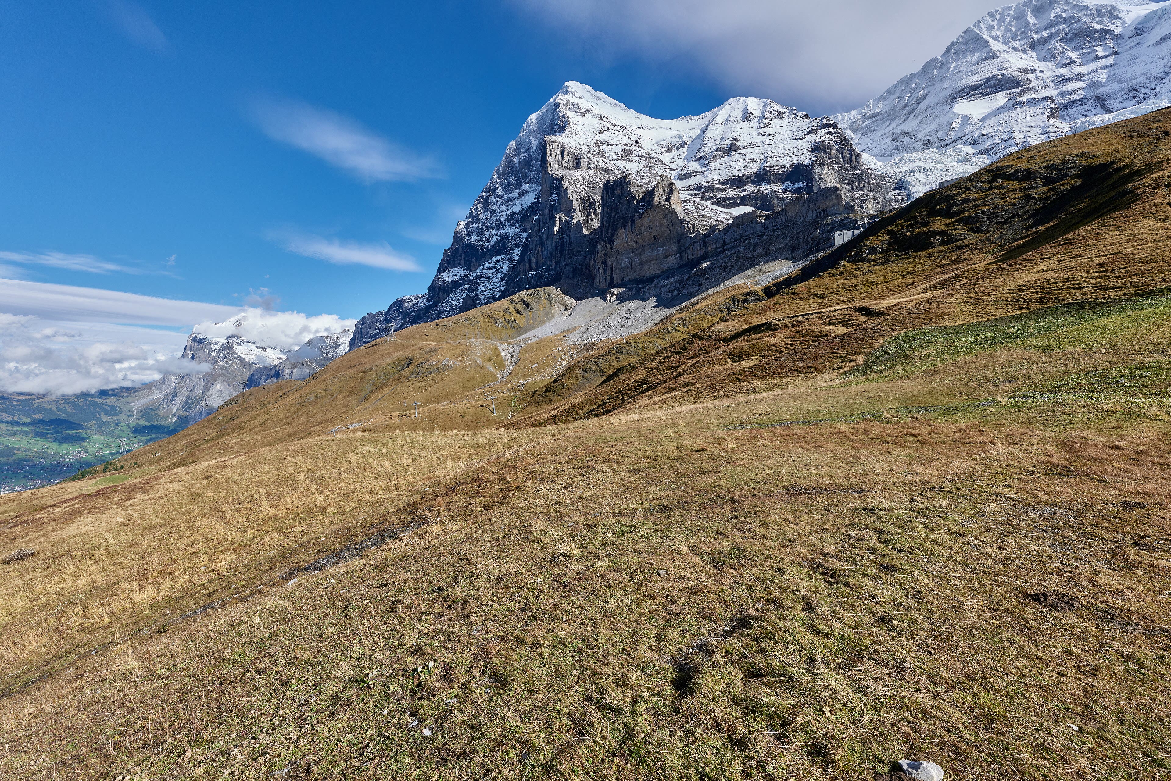
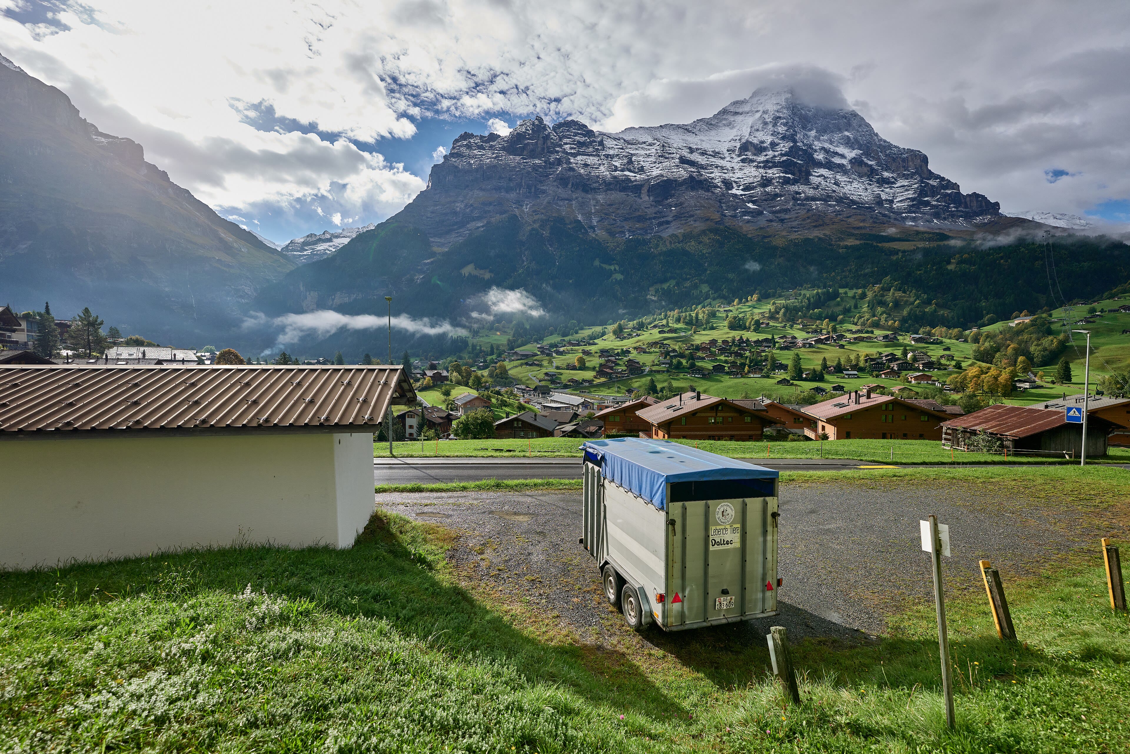
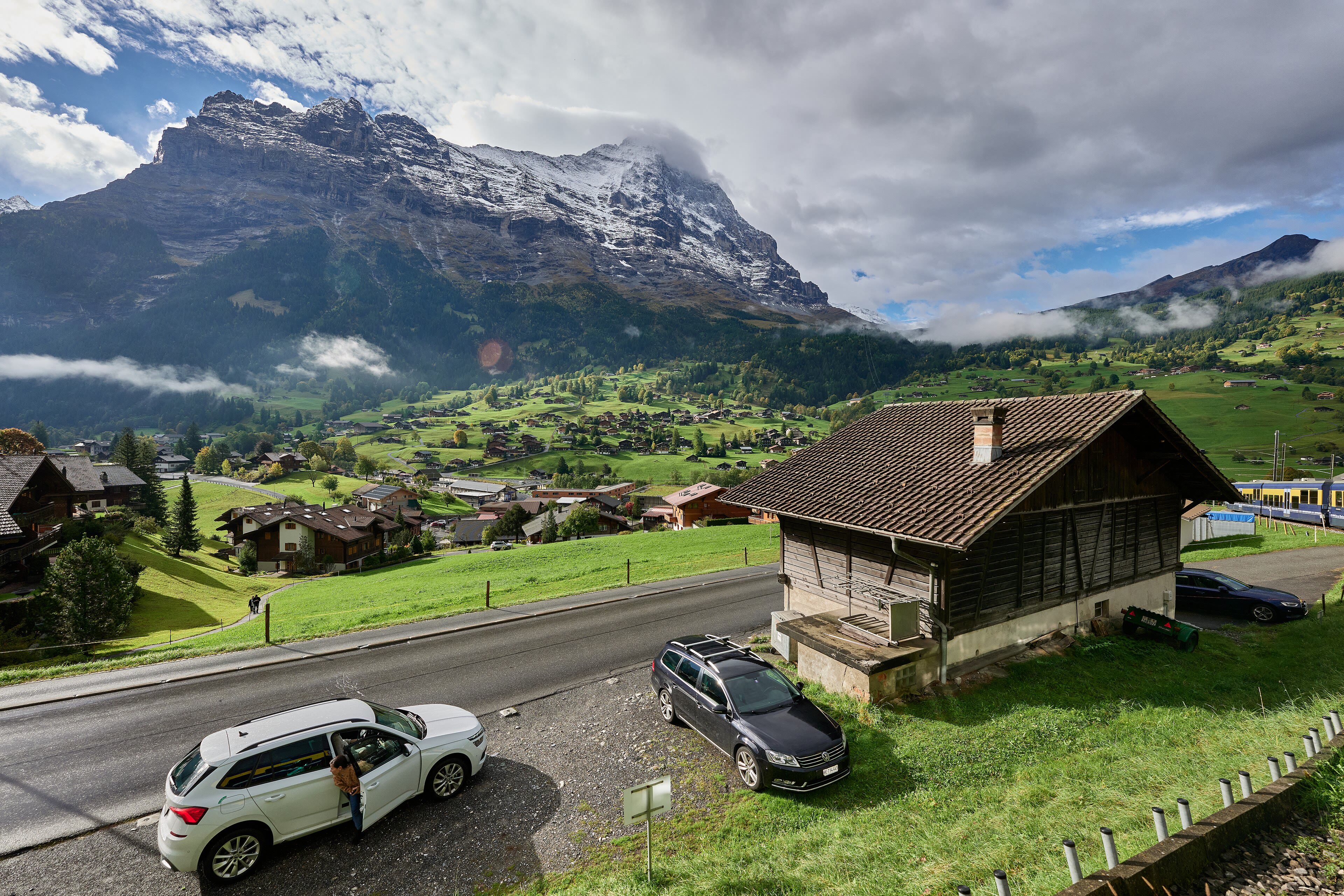
The Eiger's north wall is not the highest face in the Alps, but it may be the most famous wall of rock on Earth: one thousand eight hundred metres of it, hanging over the pastures like weather. Men died on it for thirty years while the world watched through telescopes from the hotels below, and when Heckmair's party finally climbed it in nineteen thirty-eight, they walked out of a storm onto the summit and into history. The walker's trail passes politely along its foot — close enough to hear the stonefall ticking in the gullies, close enough to feel very small and entirely content about it. Then the path bends away down a green shoulder, and there is Grindelwald spread in its valley: the first resort of the Oberland, all chalets and climbing shops and gardens, with the Wetterhorn standing over it and two glaciers sliding down toward the town. Walkers have been finishing days here for two hundred years. The beer is cold, the wall is behind you, and it has earned a long look back.
See this place in the galleryUnder the Eiger — Grindelwald — our interpretation, created from the reference photographs below
Meiringen and the Aare Gorge
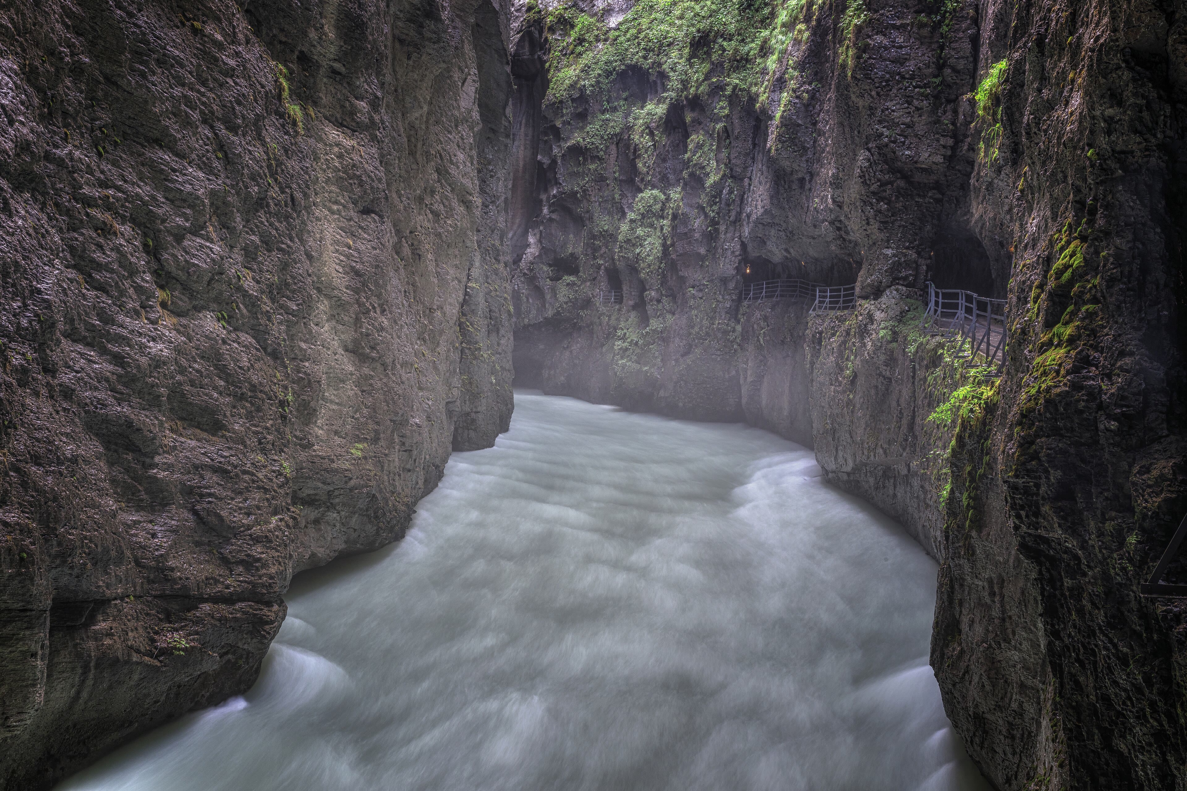
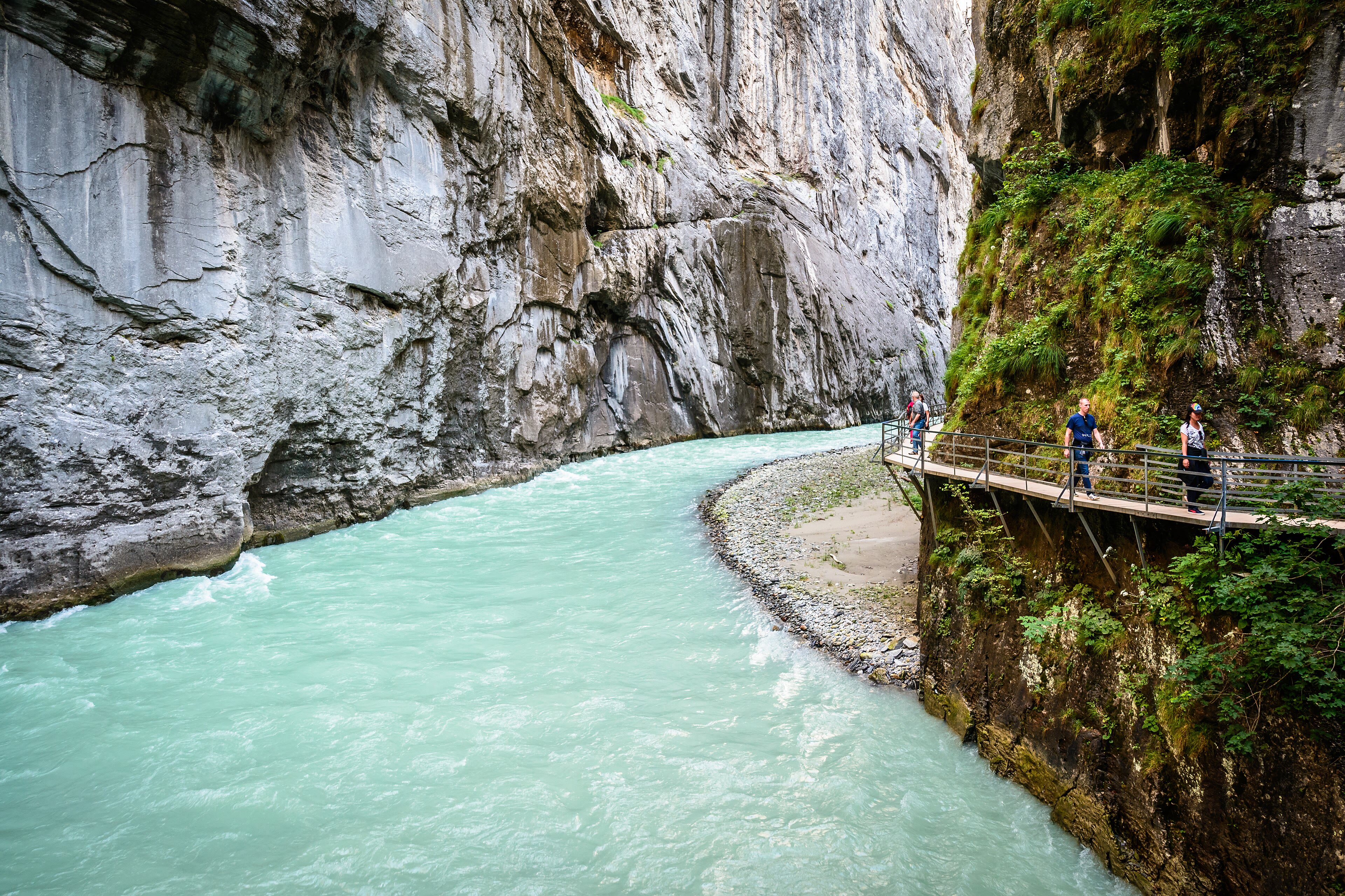
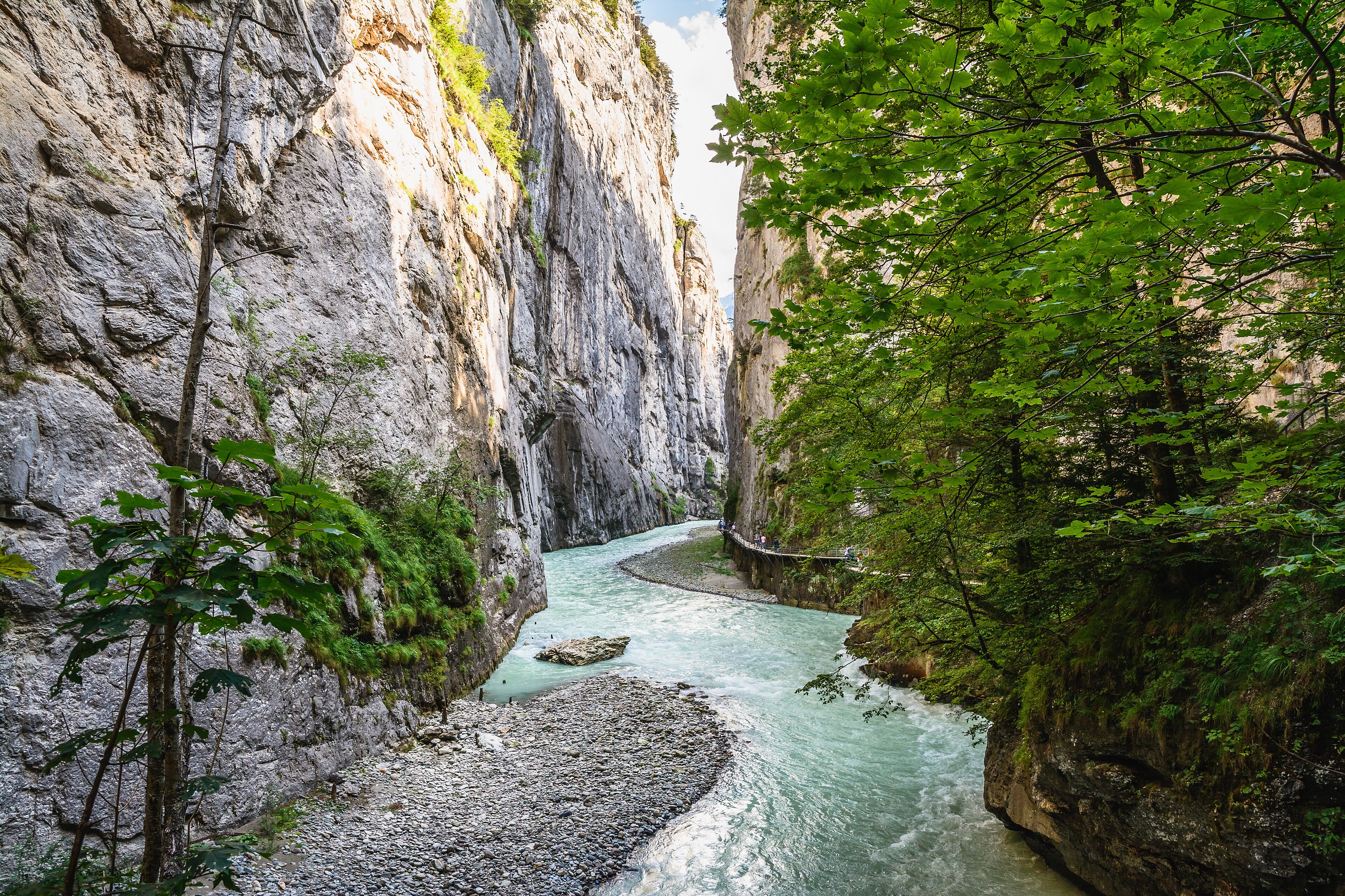
Down out of the high country, the walk crosses to a different kind of drama. Meiringen is a modest valley town that makes two claims on the world: it says the meringue was invented here — try one and judge — and it is the gateway to the Reichenbach Falls, where in eighteen ninety-one Arthur Conan Doyle threw Sherlock Holmes and Professor Moriarty together into the white water. It is a story, of course; but the falls are real, and Doyle, who stood here and heard them, chose his stage well. Below the town, the river Aare does something stranger than any fiction: it has sawn itself a gorge clean through a wall of limestone, a slot so narrow in places that the sky is a ribbon and the walkway clings to the wall above green, boiling water. The path through the Aare Gorge runs a mile and a half on galleries and through tunnels, at the pace of the river. Fiction at the falls, fact in the gorge — Meiringen deals in both, and a walker takes the pair.
See this place in the galleryMeiringen and the Aare Gorge — our interpretation, created from the reference photographs below
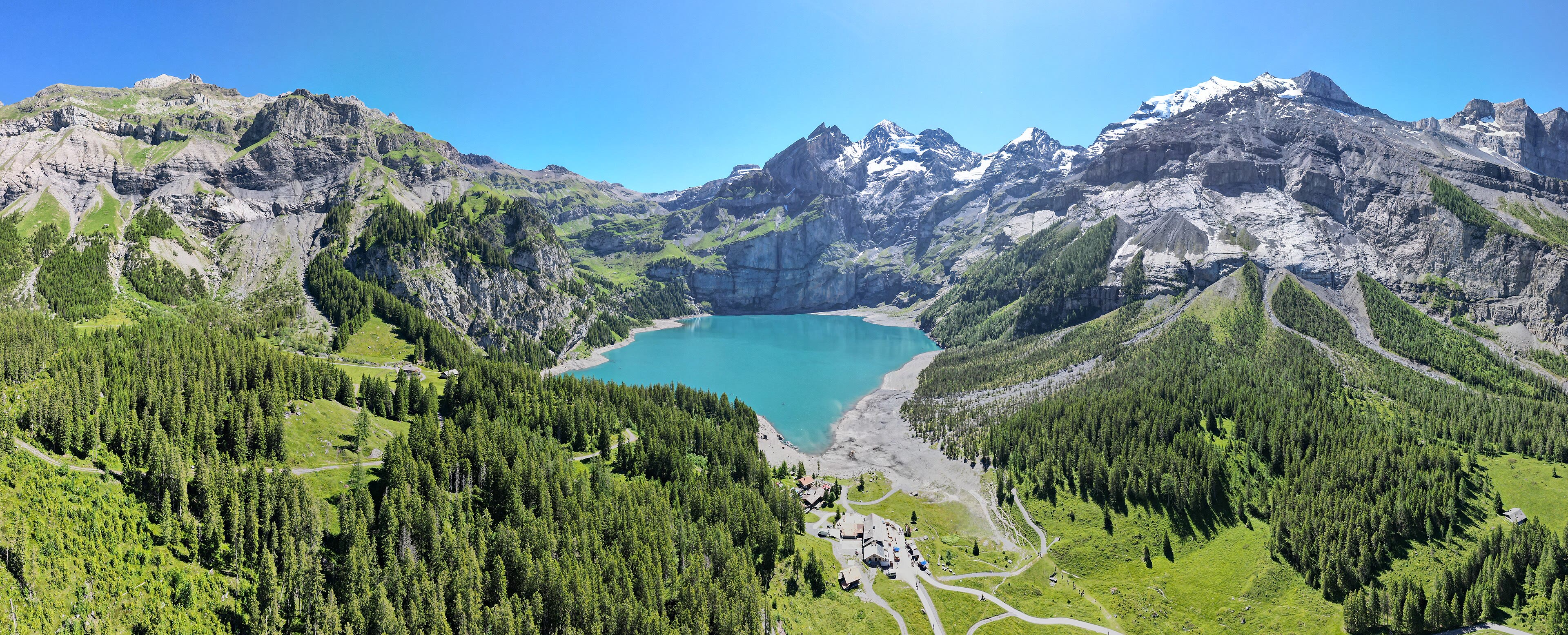
Kandersteg and the Oeschinensee
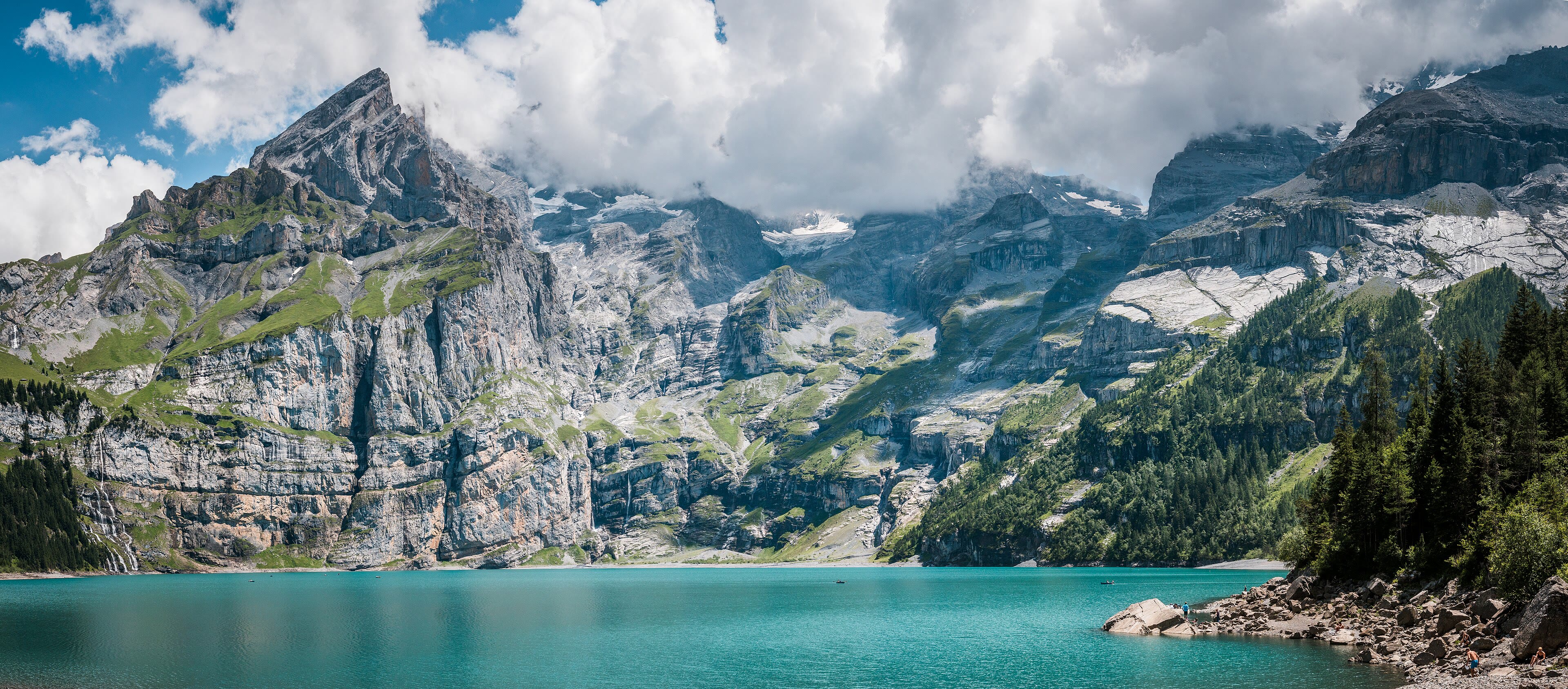
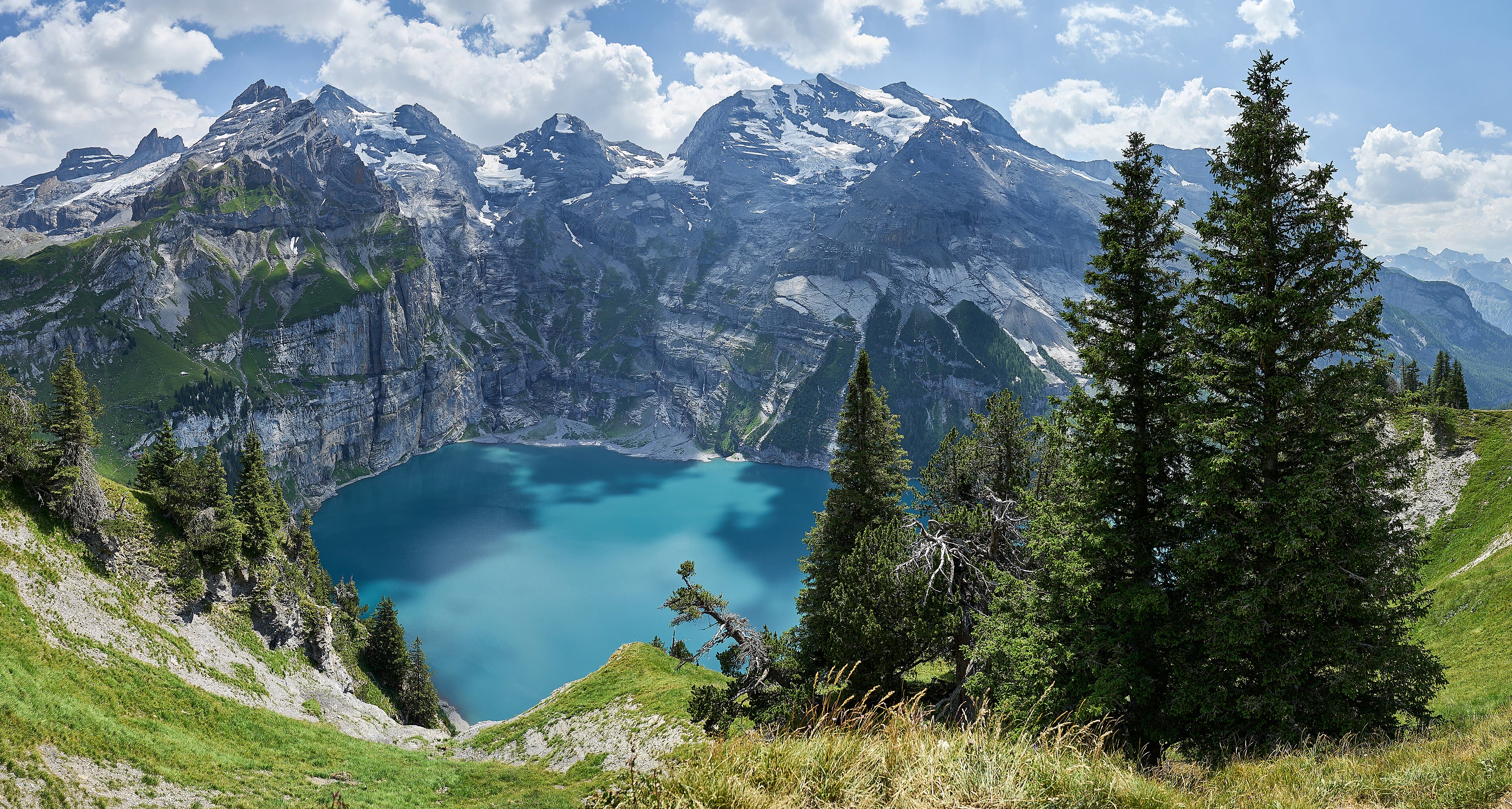
West again, and up: Kandersteg is a village of chalets and hay barns at the head of the Kander valley, the kind of place where the train south dives into the Lötschberg tunnel and the walkers get out and stay. Above the village, a path climbs through the pines for an hour — or the little gondola does the honest work — and then the trees open onto the Oeschinensee, and everybody who comes up the path makes the same sound. A lake of deep glacial blue held in a cirque of rock walls and hanging glaciers, the Blüemlisalp massif standing over it, waterfalls threading down the cliffs into the water. It is protected country now, part of the great Jungfrau-Aletsch World Heritage, and it wears the care well: meadows at the shore, rowing boats for hire, and a mountain inn serving rösti at the water's edge. Swim if you're brave — glacial water keeps its promises about temperature. This is the Oberland at its most generous, one valley before the greatest ice of all.
See this place in the galleryKandersteg and the Oeschinensee — our interpretation, created from the reference photographs below
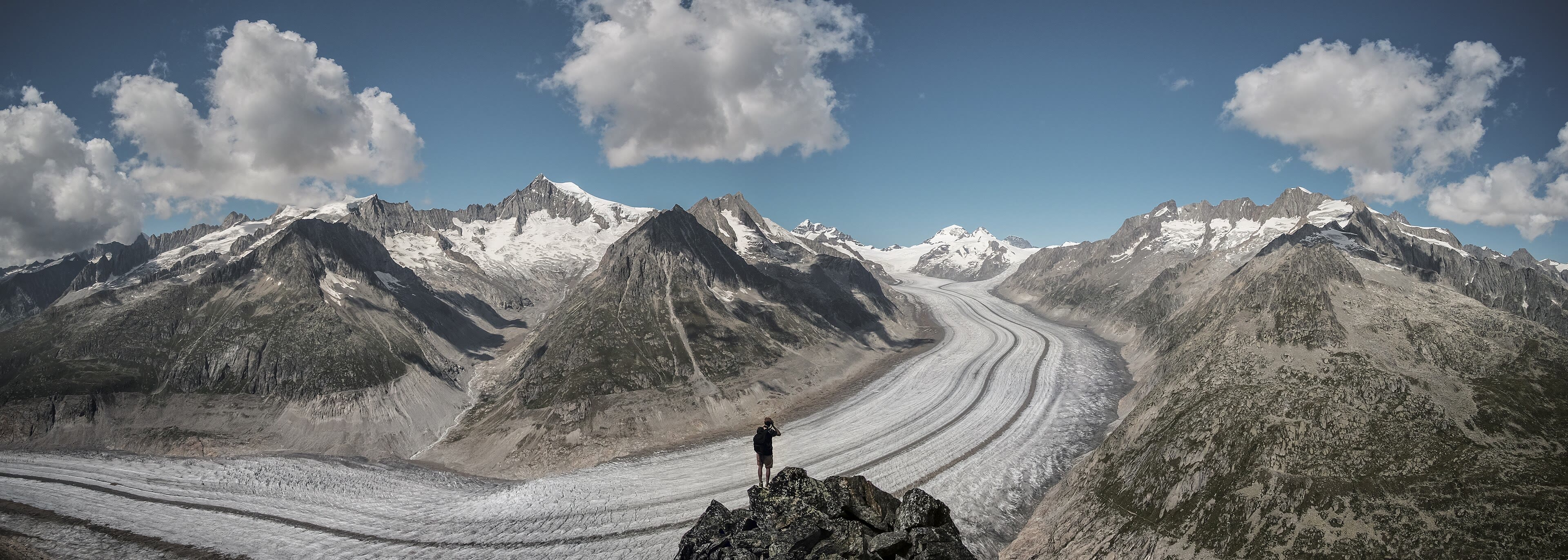
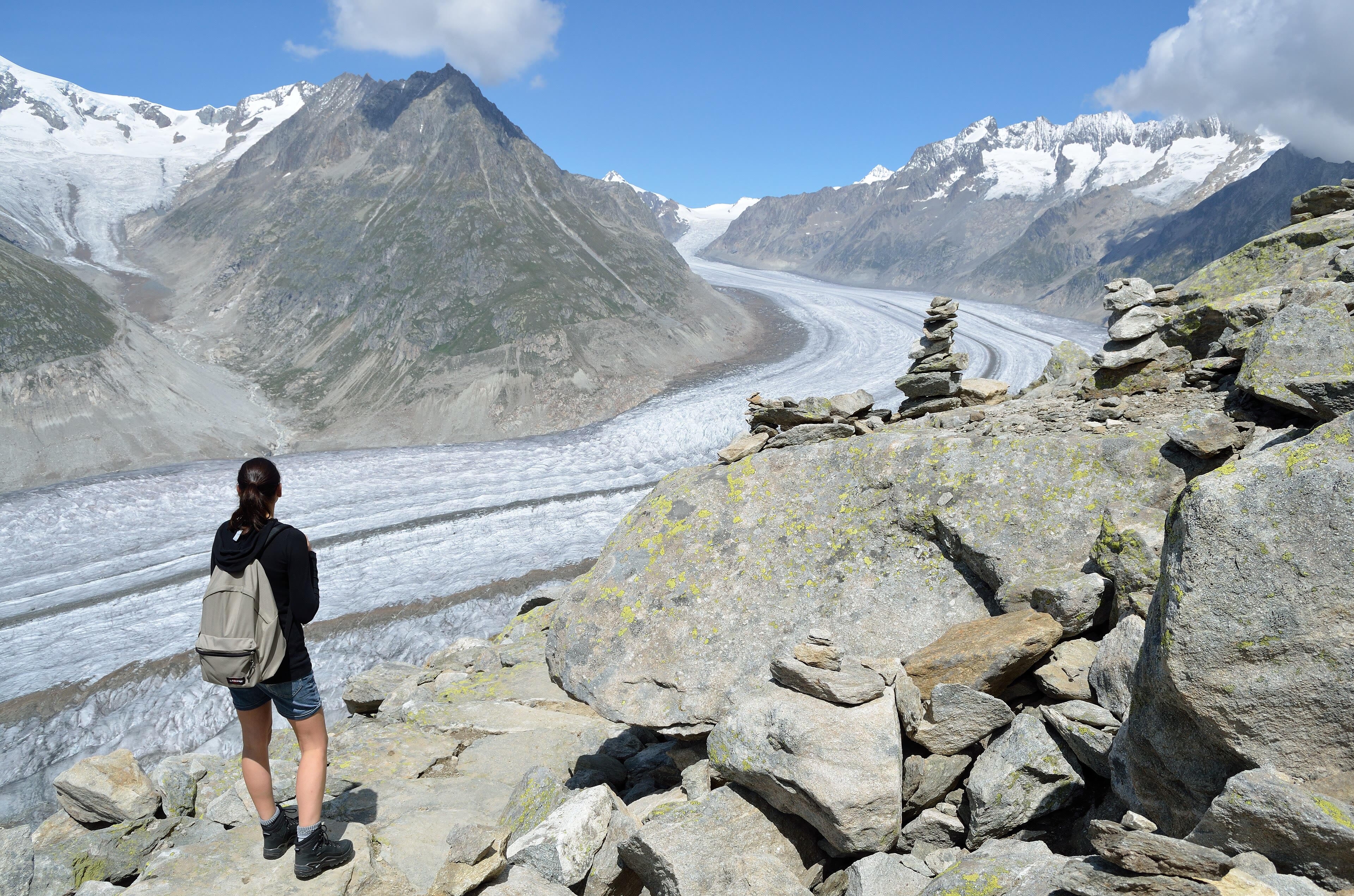
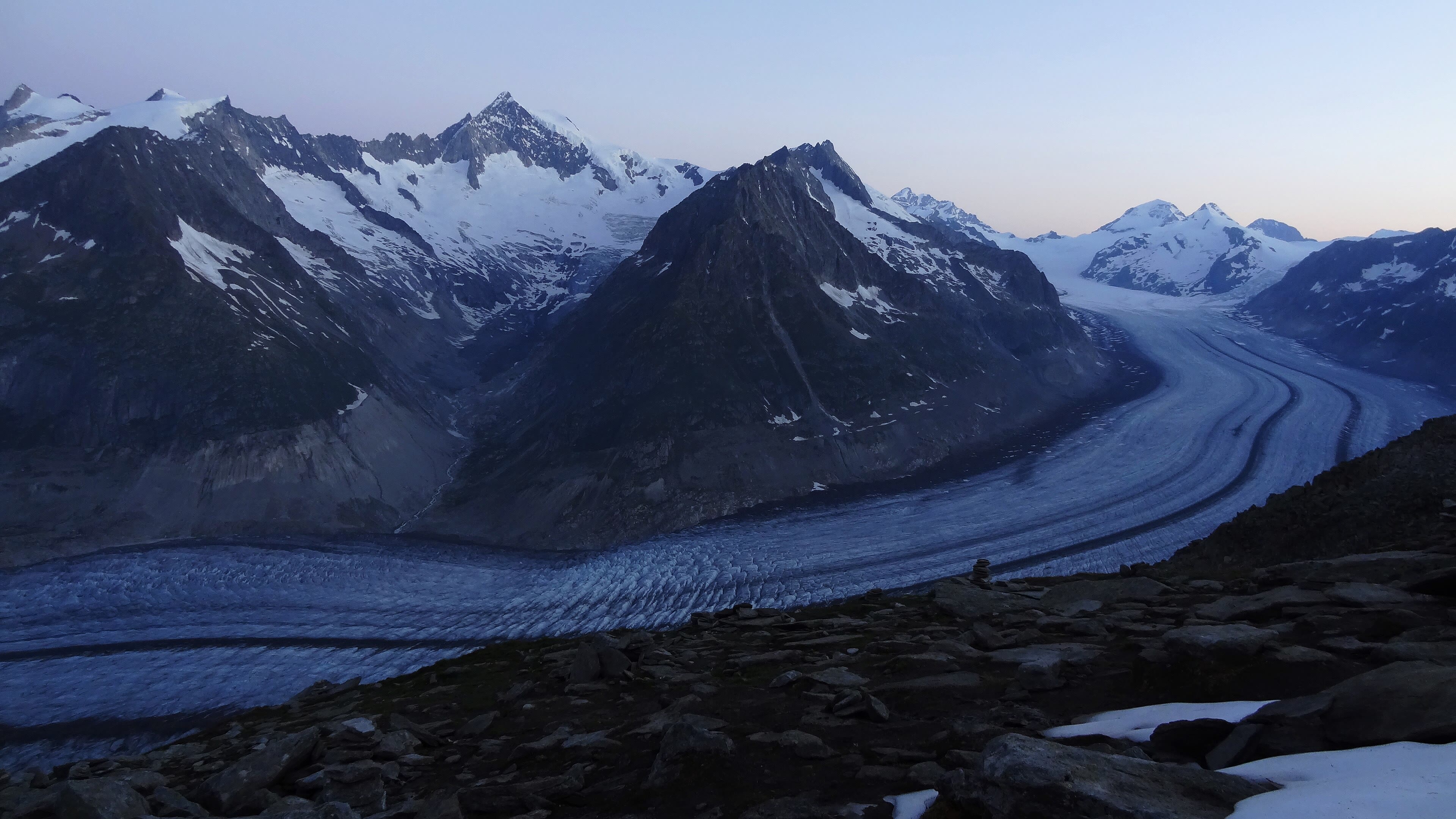
The Great Aletsch Glacier
And so the chapter ends at the biggest river of ice in the Alps. From the sunny, car-free ledges of Bettmeralp and Riederalp, the path steps out of the larches onto the ridge — and there it is: the Great Aletsch Glacier, twenty kilometres of ice, a frozen highway curving away between the peaks, banded with the dark stripes of its moraines like a road ploughed for giants. Stand at the viewpoint and try to take its measure: some eleven billion tonnes of ice, draining the same Jungfrau massif we walked beneath a week of walking ago. It is shrinking — every year it shortens and thins, and the old photographs in the mountain inns, showing the ice thick where bare rock stands now, tell that story without a word of commentary. I will not dress it up. But I will say this for the place: nothing else in Europe makes a walker feel the scale of the mountains, and of time itself, the way this river of ice does. The Long Way turns east from here — into Austria. The boots stay on.
See this place in the galleryThe Great Aletsch Glacier — our interpretation, created from the reference photographs belowReference photographs — Interlaken and the Two Lakes · 3 photographsReference photographs — Lauterbrunnen, the Valley of Waterfalls · 3 photographsReference photographs — Mürren, the Village on the Ledge · 3 photographsReference photographs — Wengen and Kleine Scheidegg · 4 photographsReference photographs — Under the Eiger — Grindelwald · 4 photographsReference photographs — Meiringen and the Aare Gorge · 3 photographsReference photographs — Kandersteg and the Oeschinensee · 3 photographsReference photographs — The Great Aletsch Glacier · 3 photographs
Chapter Five — The Austrian Alps
8 scenes · 27 reference photographs
St. Anton and the Silvretta
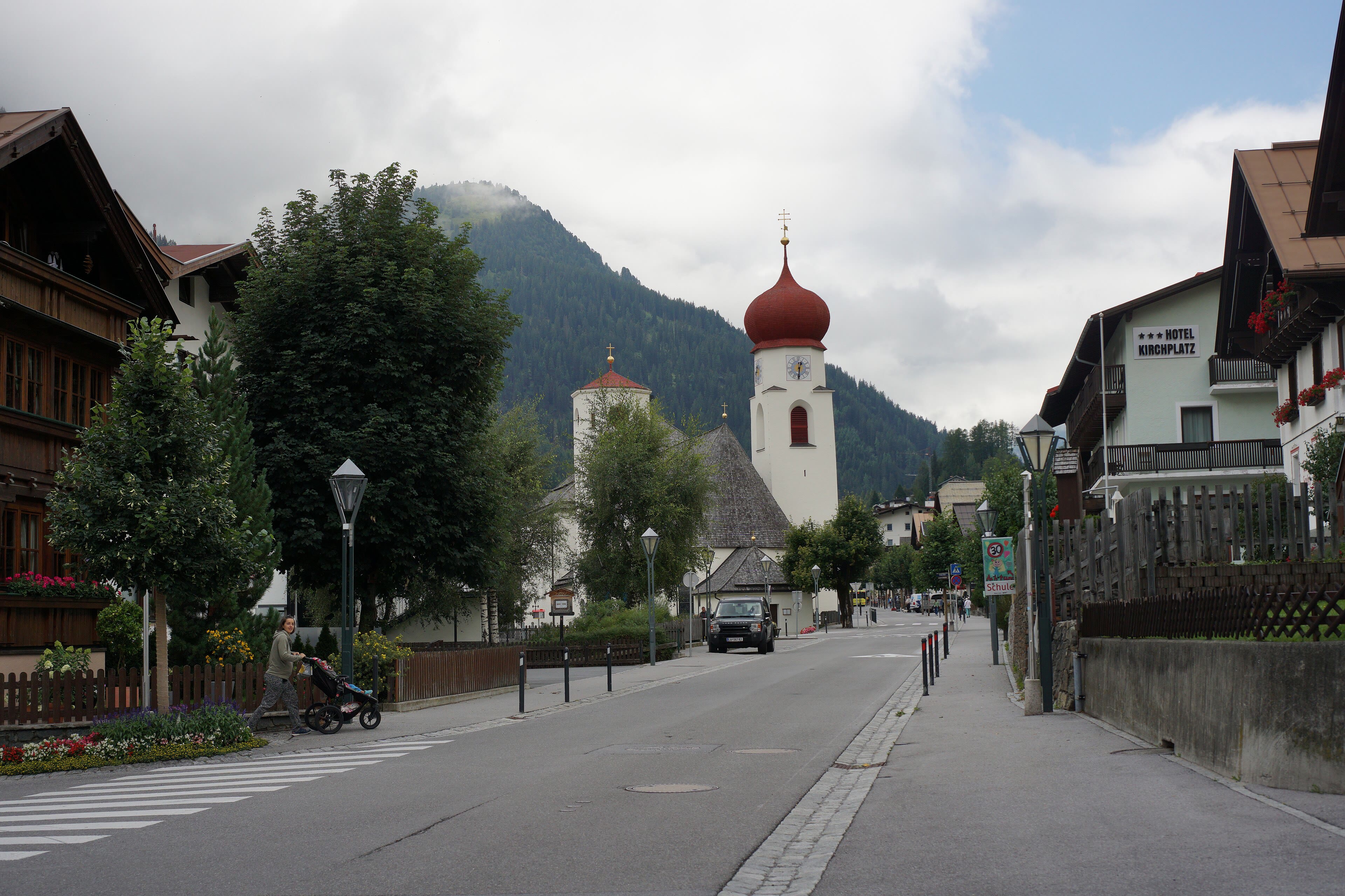
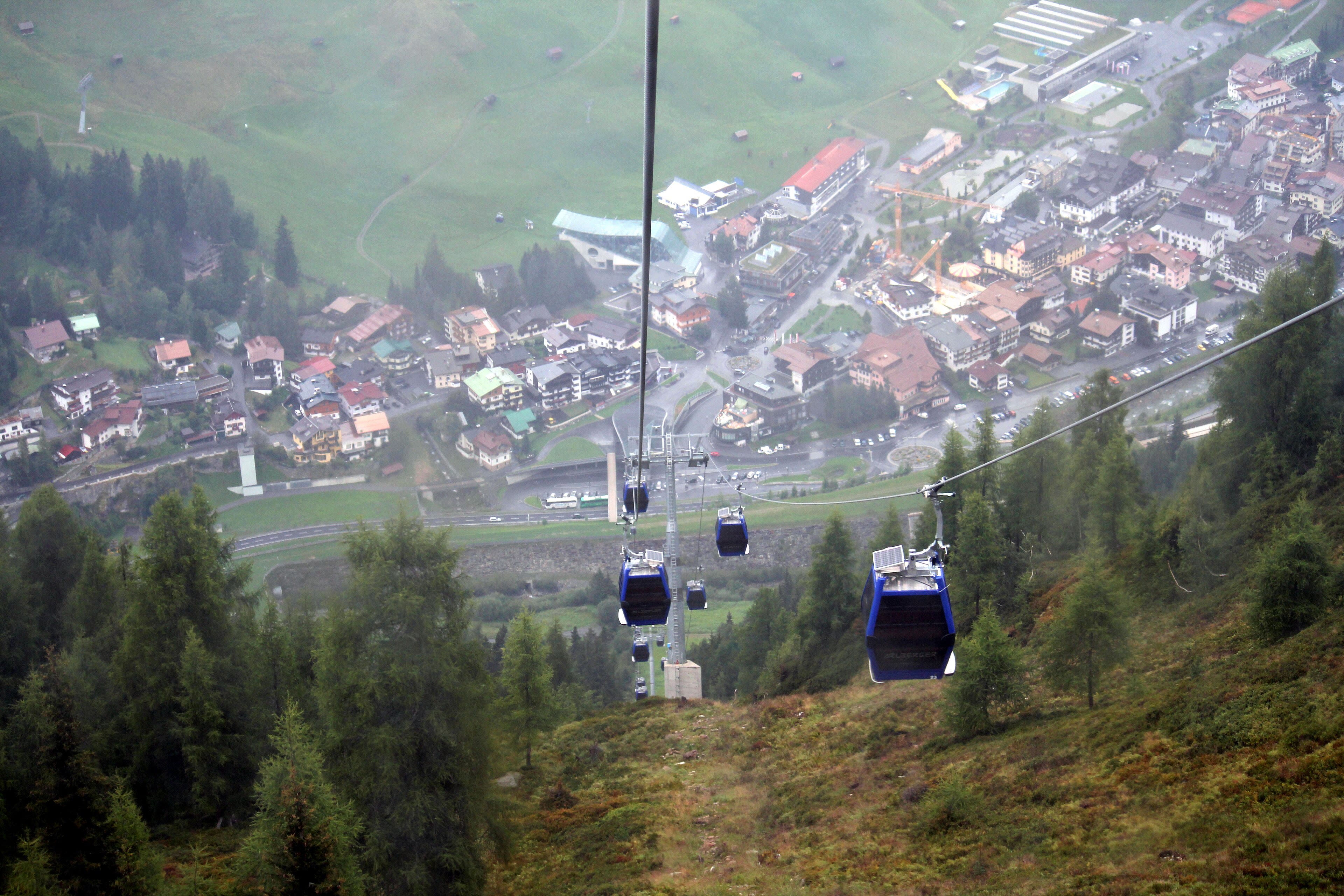
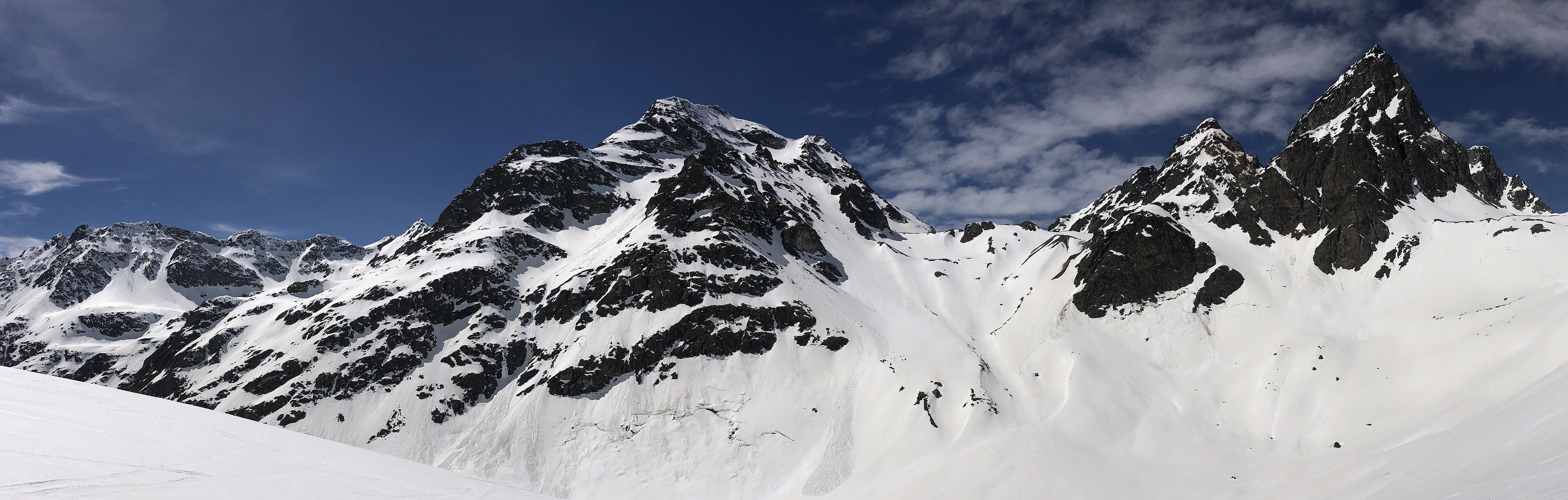
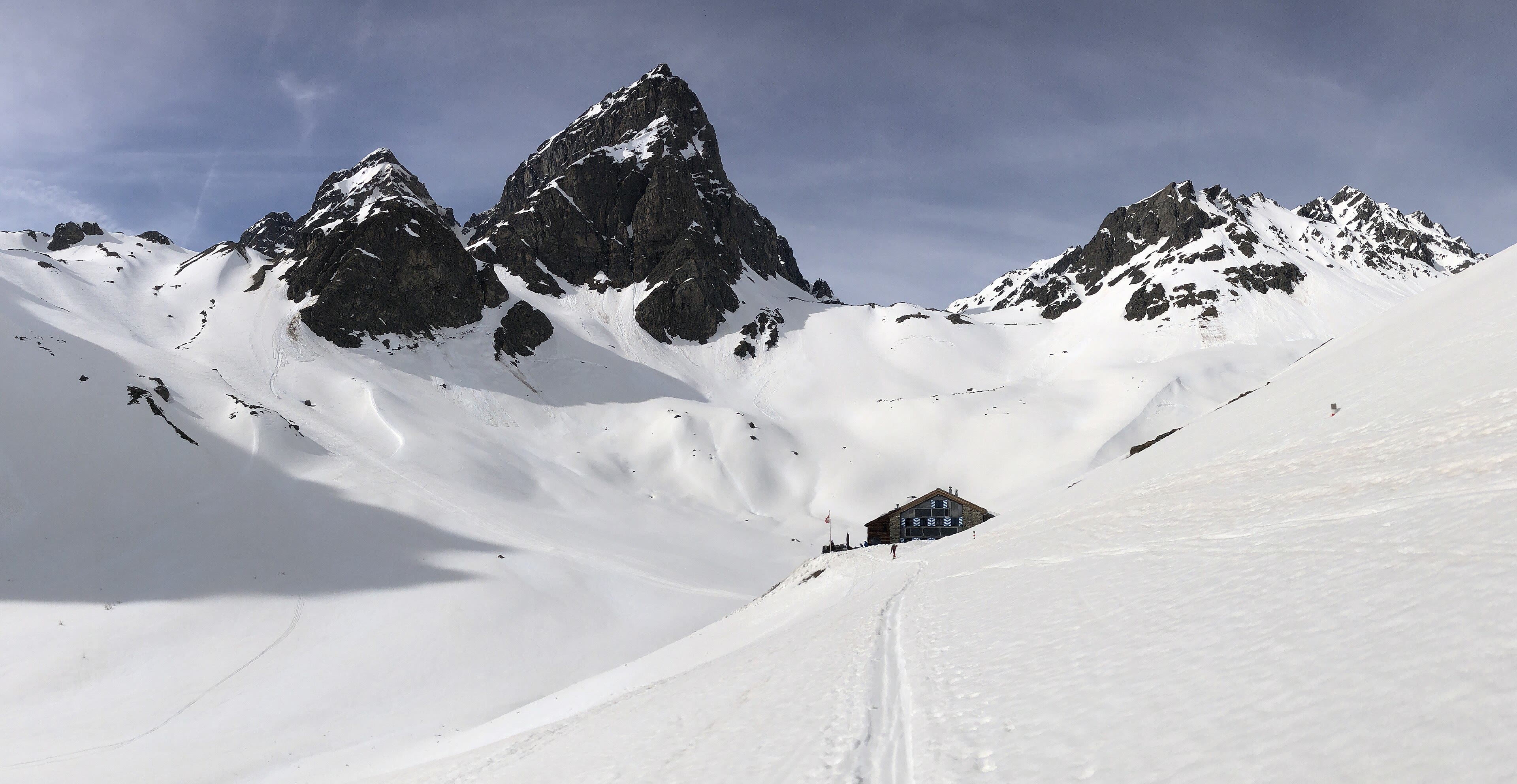
The Long Way crosses into Austria the way walkers have always crossed the Alps: over a pass, on foot, into a new valley with a new accent. The Arlberg is the door. Below it sits St. Anton, a village that taught the world to ski — the downhill technique was worked out on these slopes a century ago, and in winter the place hums; but a walker comes in summer, when the lifts sleep and the meadows take the village back. South of the road, the Silvretta range runs along the Swiss border, a quieter, wilder country of glaciers and lonely huts joined by high paths, and the traverse along them is some of the finest hut-to-hut walking in Austria — the Jamtal and Wiesbadener huts strung like beads under the ice. This chapter walks Austria west to east, valley by valley, the way the country actually lies. Fill the boots with Arlberg air, take the high path while the weather holds, and let the mountains introduce themselves one at a time.
See this place in the gallerySt. Anton and the Silvretta — our interpretation, created from the reference photographs below
Innsbruck and the Nordkette
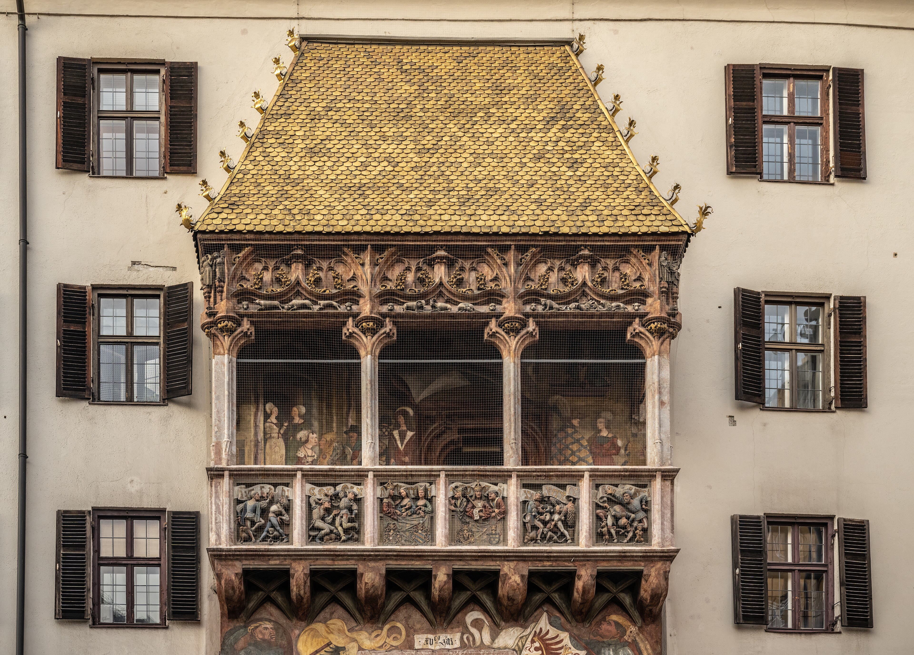
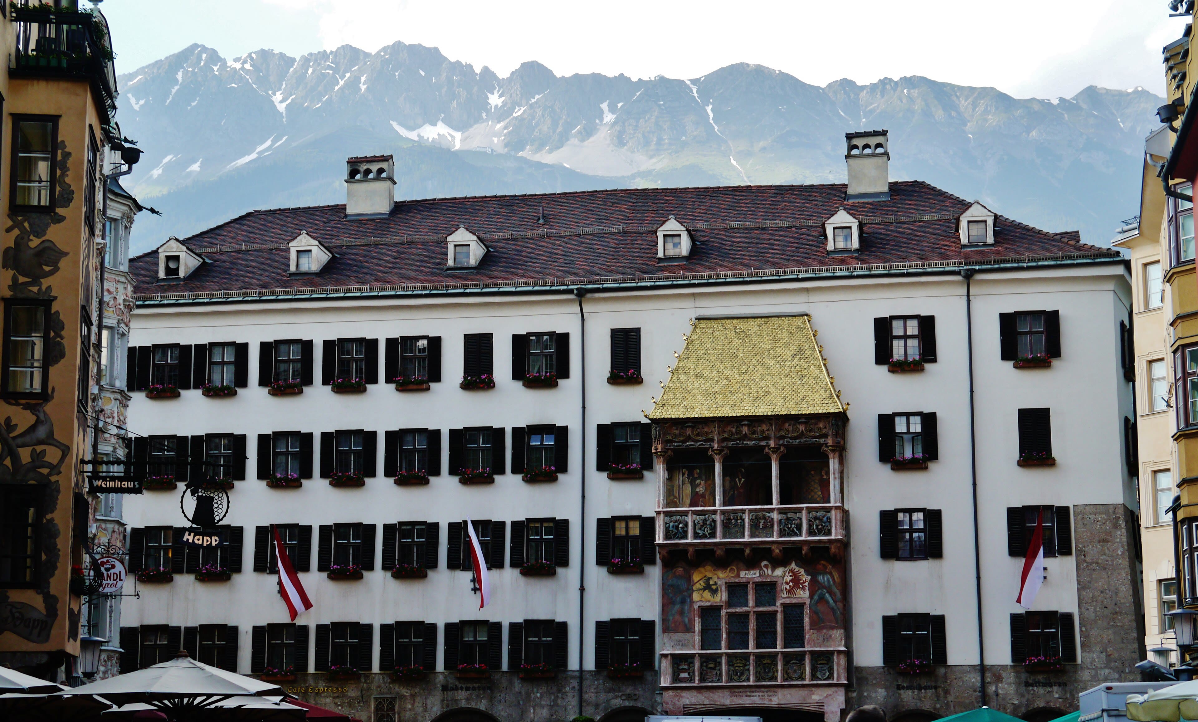
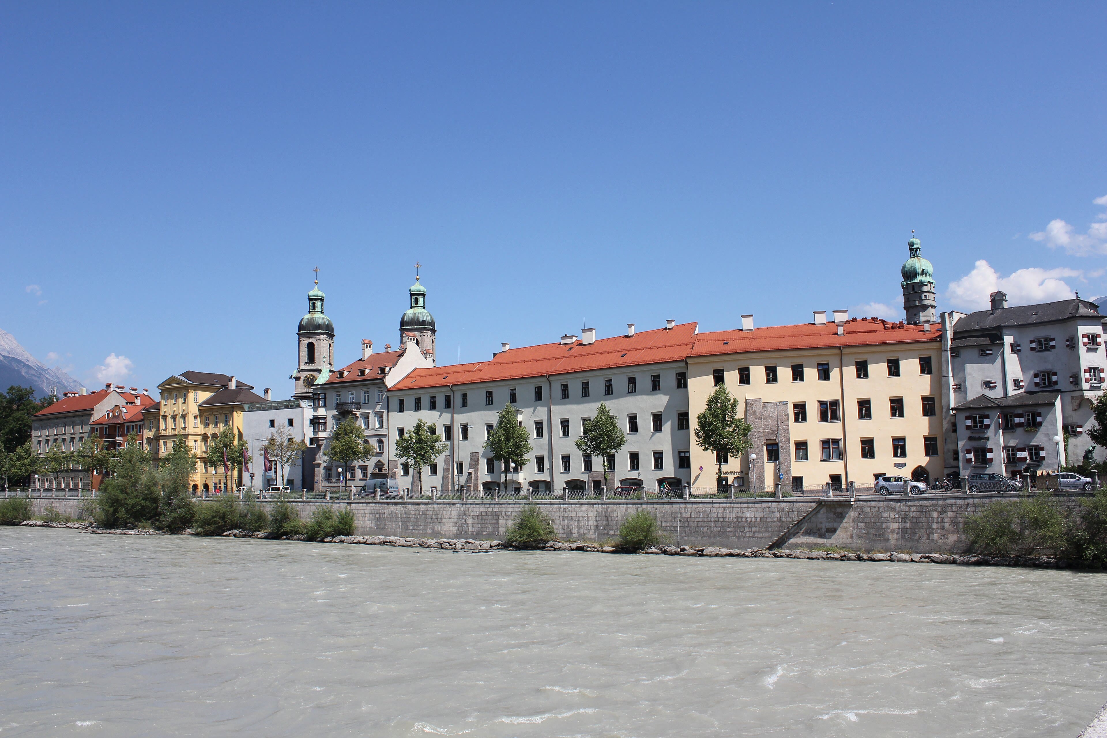
Every walking journey needs a city day, and the Alps keep theirs right in the middle of the range. Innsbruck sits in the broad Inn valley with a wall of rock standing directly over its rooftops — the Nordkette, rising two thousand metres from street to summit in one unbroken slope, so close that the cable car from the city centre has you on a high ridge in twenty minutes, coffee still warm. Down below, the old town keeps its treasure under a roof of gold: the Goldenes Dachl, two thousand six hundred and fifty-seven gilded copper tiles shining over the square, built for an emperor who liked to watch the tournaments from its balcony. The Habsburgs wintered here; the Olympics came twice; and through it all the Inn runs its glacial green under the bridges. A walker resupplies, eats something that isn't hut food, and sleeps low for a night. Tomorrow the side valleys begin, and the first of them is a famous one.
See this place in the galleryInnsbruck and the Nordkette — our interpretation, created from the reference photographs below
The Zillertal
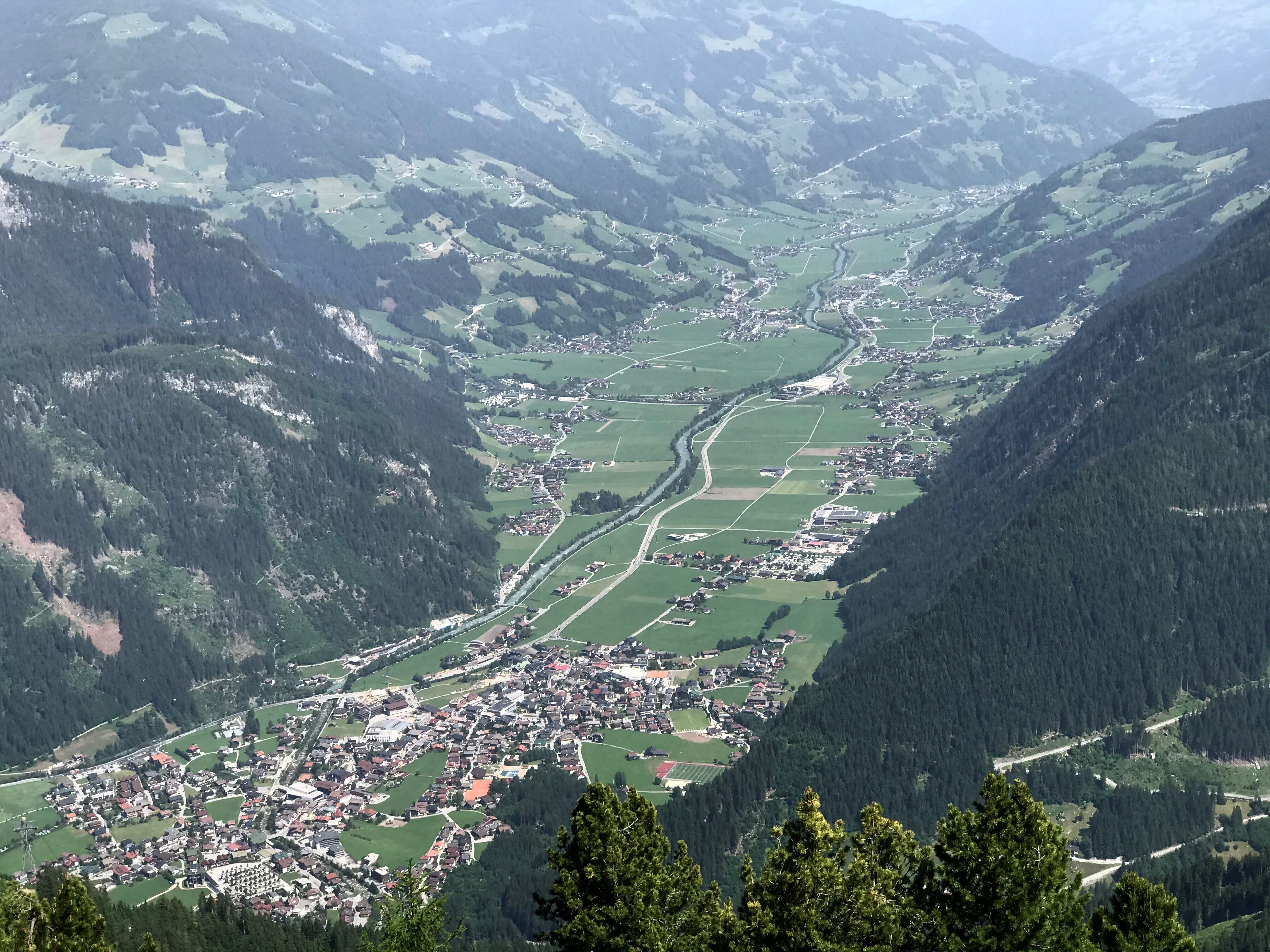
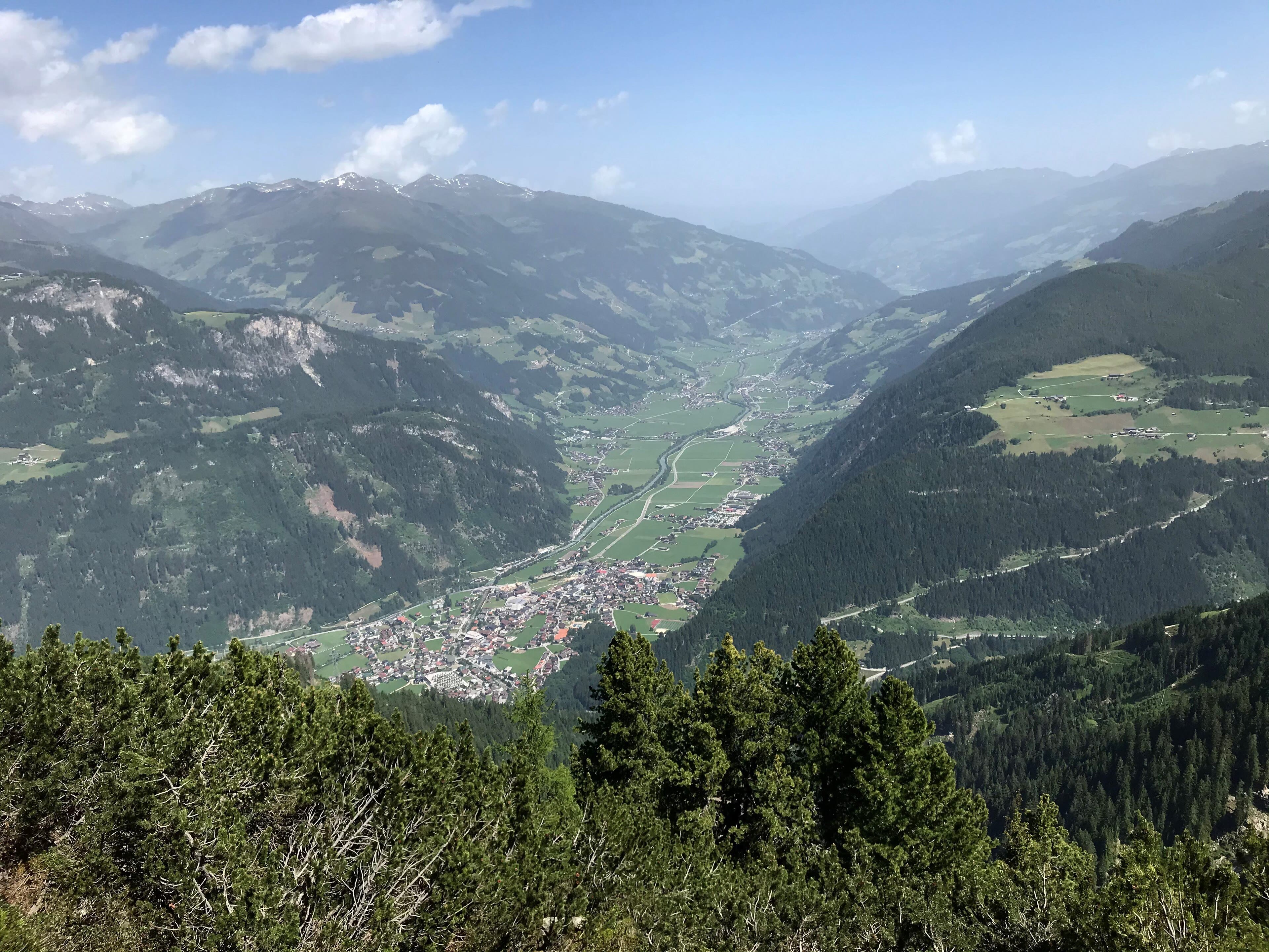
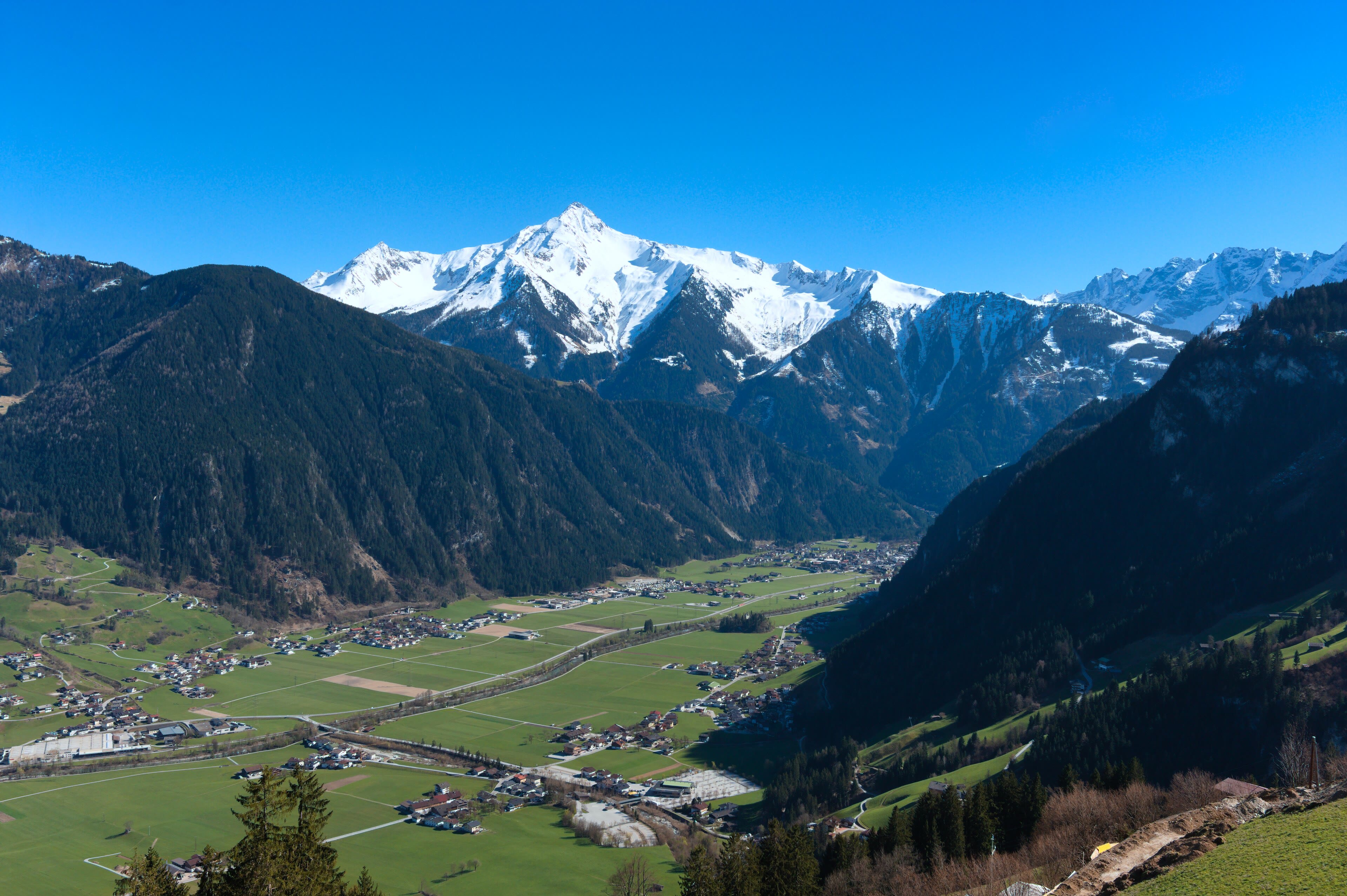
East of Innsbruck, the Ziller runs up out of the Inn valley and splits into green side arms, each with its own village, its own brass band, and — this valley insists on it — its own opinion about music. The Zillertal is Austria's busiest summer valley and it earns it: meadows like tended lawns up to the tree line, dairy farms on slopes that look too steep to mow, and at the head of the valley at Mayrhofen the mountains closing in earnest. Walkers take the high path along the valley's shoulder, the Zillertaler Höhenstrasse climbing in hairpins to views down a corridor of green, or ride up to the Hintertux glacier at the very end of the road, where the ice runs all year and the lifts serve skiers in August. My way is the shoulder path in the morning and a farmhouse bench in the afternoon, with the valley's schnapps appearing as if by natural law. Some valleys you cross. This one you settle into, briefly and happily.
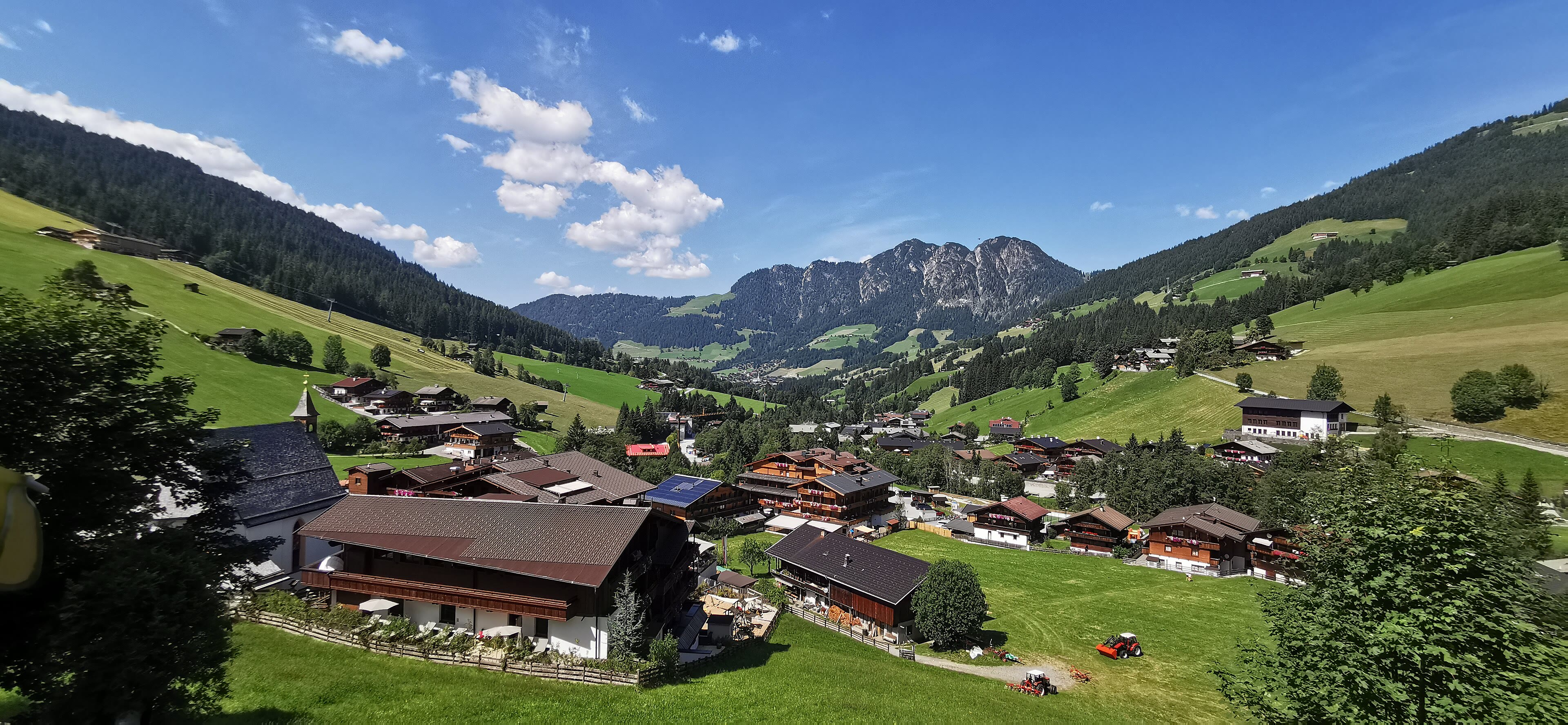
Two famous names share this stop, and they could not be less alike. Alpbach is a village that made a rule — every new house in wood, in the old style, balconies deep and overflowing with flowers — and kept it, until the whole valley looks like the Austria of the picture books because it simply refused to stop. It calls itself Austria's most beautiful village, and walkers arguing the point tend to run out of counter-examples by the second beer. A physicist is buried in its churchyard: Erwin Schrödinger, who asked the world to think about a cat, and chose this quiet valley for his rest. Over the ridge east, Kitzbühel plays the other register: a medieval walled town that became the smartest address in the Alps, and home to the Hahnenkamm — the Streif, the most feared downhill ski race on Earth, a slope skiers fall down at a hundred and forty kilometres an hour in January. Walk it in summer, green and grazing-calm, and the winter terror of it seems impossible. It isn't. That's the fun of standing on it.
See this place in the galleryAlpbach and Kitzbühel — our interpretation, created from the reference photographs below
Zell am See and Kaprun
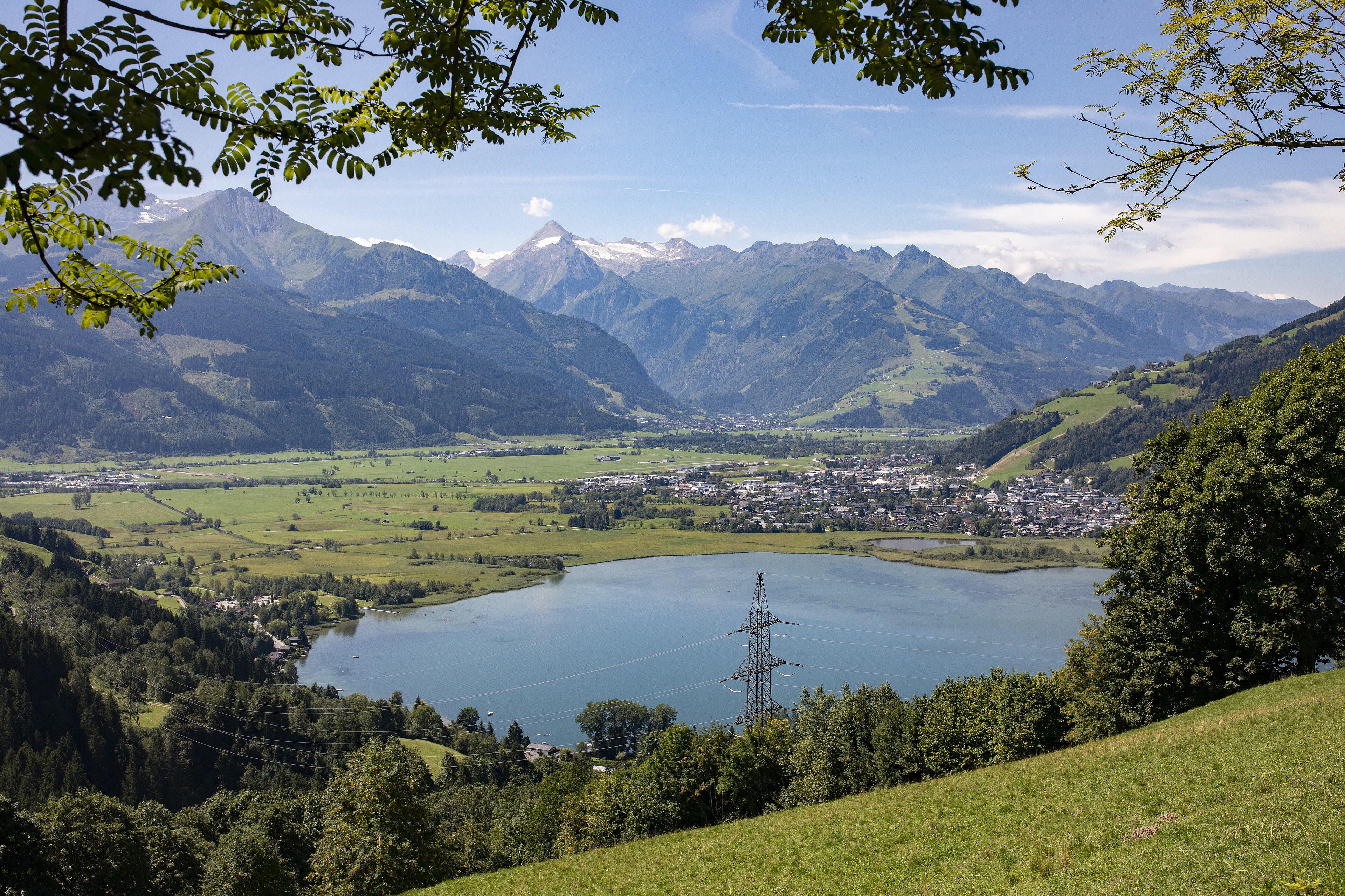
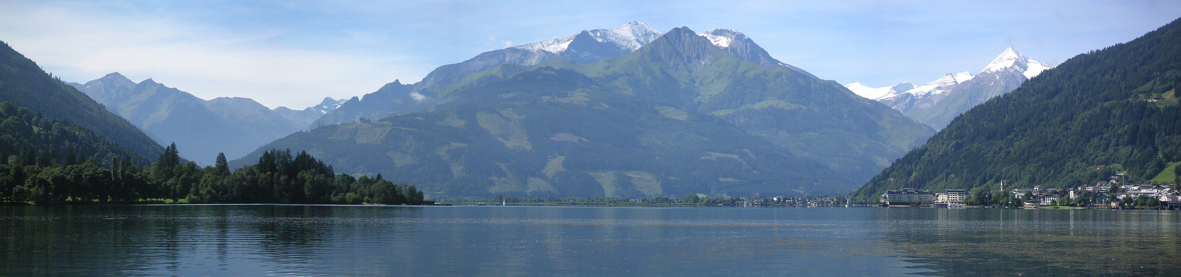
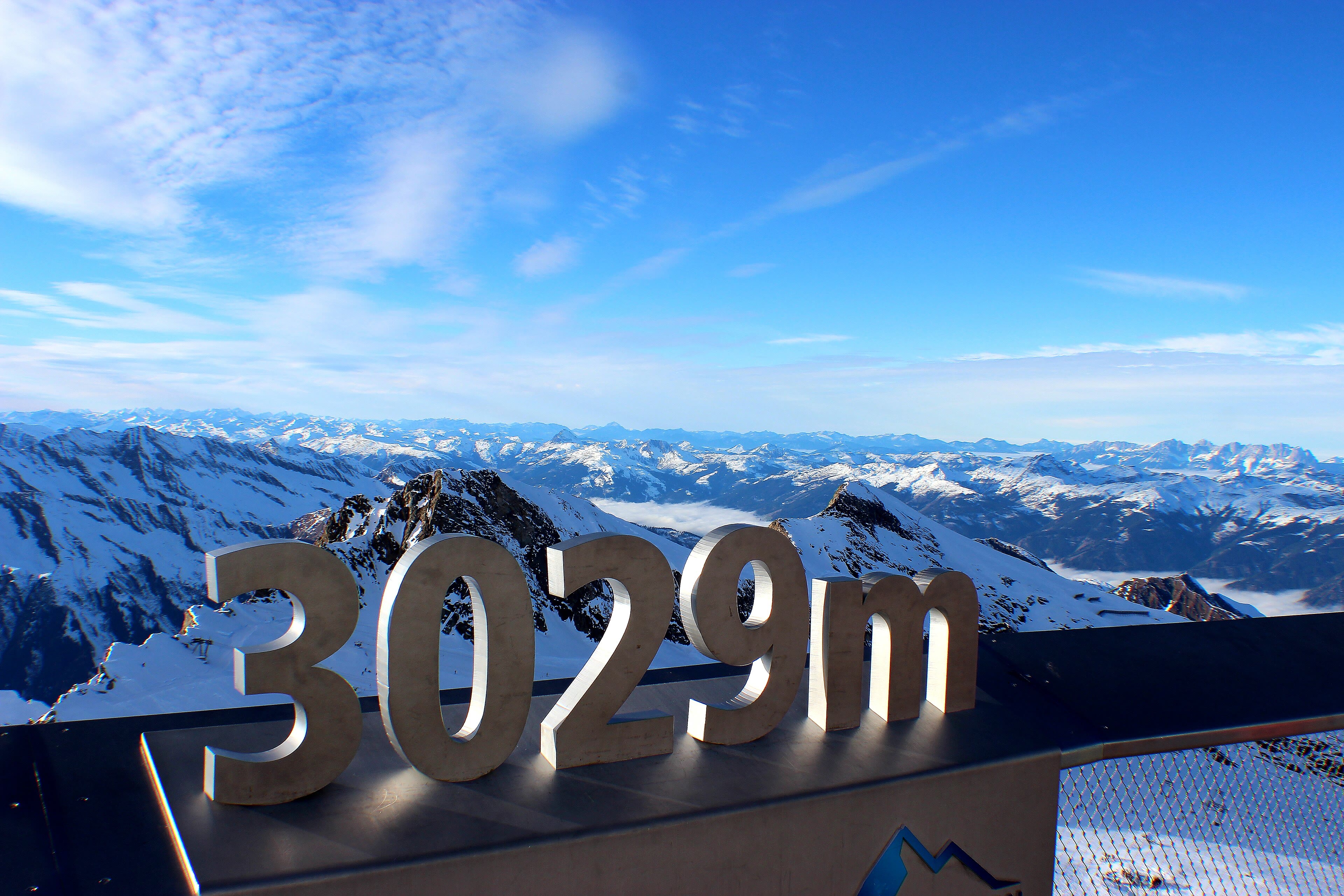
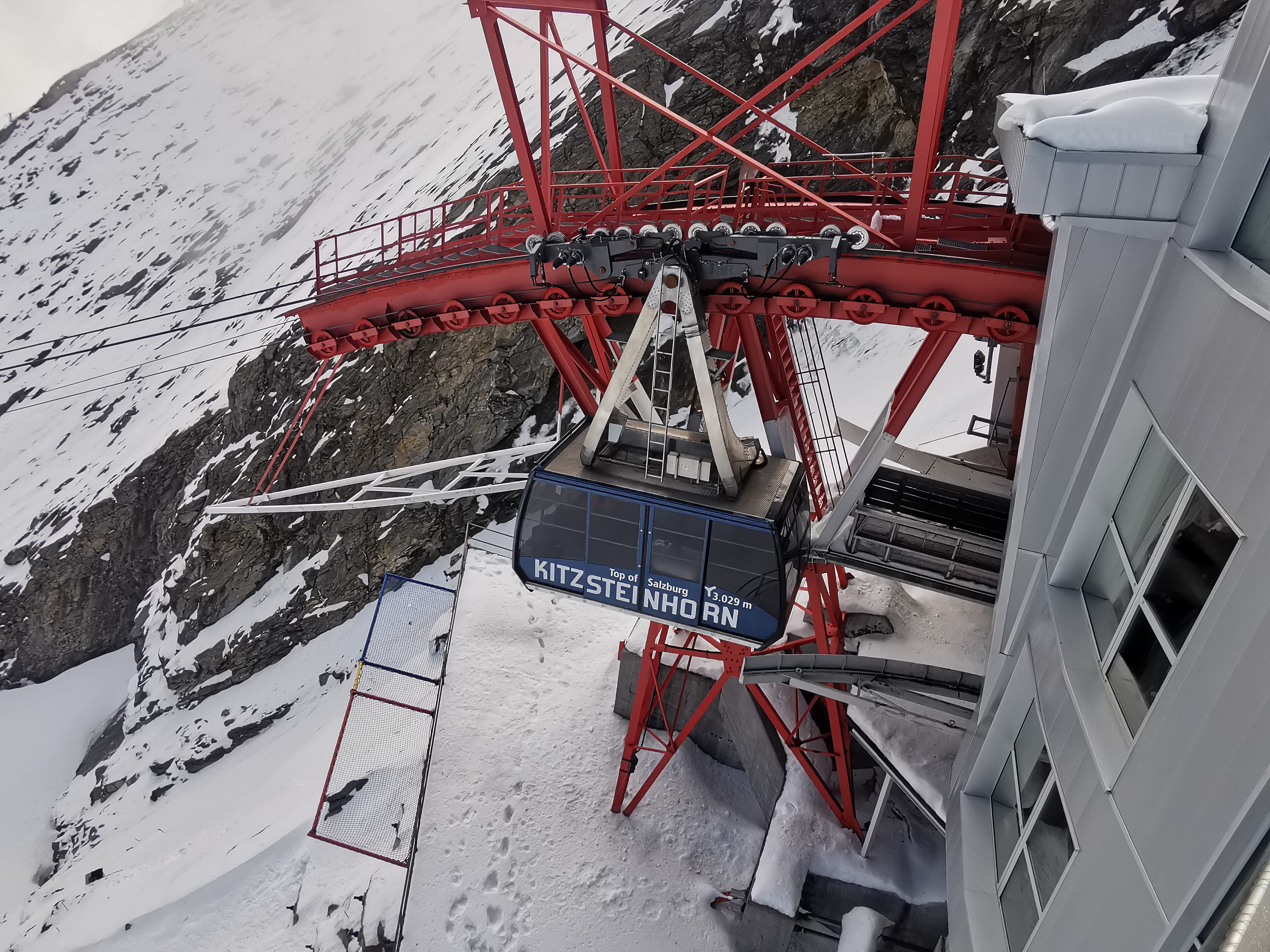
The walk comes down to water again: Zell am See, a little town on a peninsula in a clear mountain lake, with the Kitzsteinhorn's glacier shining at the head of the view and steamers crossing below. It is the gentlest kind of mountain day — a lakeside promenade, swimmers off the jetties, and the Schmittenhöhe above the town carrying the paths up into flower meadows. But the serious end of this stop is Kaprun, the village up the side valley, where the cables climb to the Kitzsteinhorn itself: three thousand two hundred and three metres, a glacier summit with a gallery tunnelled through the mountain and a viewing platform over a sea of peaks — the Grossglockner standing in the middle of it like a headline. Take the walker's way up through the valley in the morning and let the gondola spare your knees the glacier; eat at the top with Austria spread out like a map. Tomorrow we meet that headline mountain properly, at the end of its road.
Zell am See and Kaprun — our interpretation, created from the reference photographs below
The Grossglockner
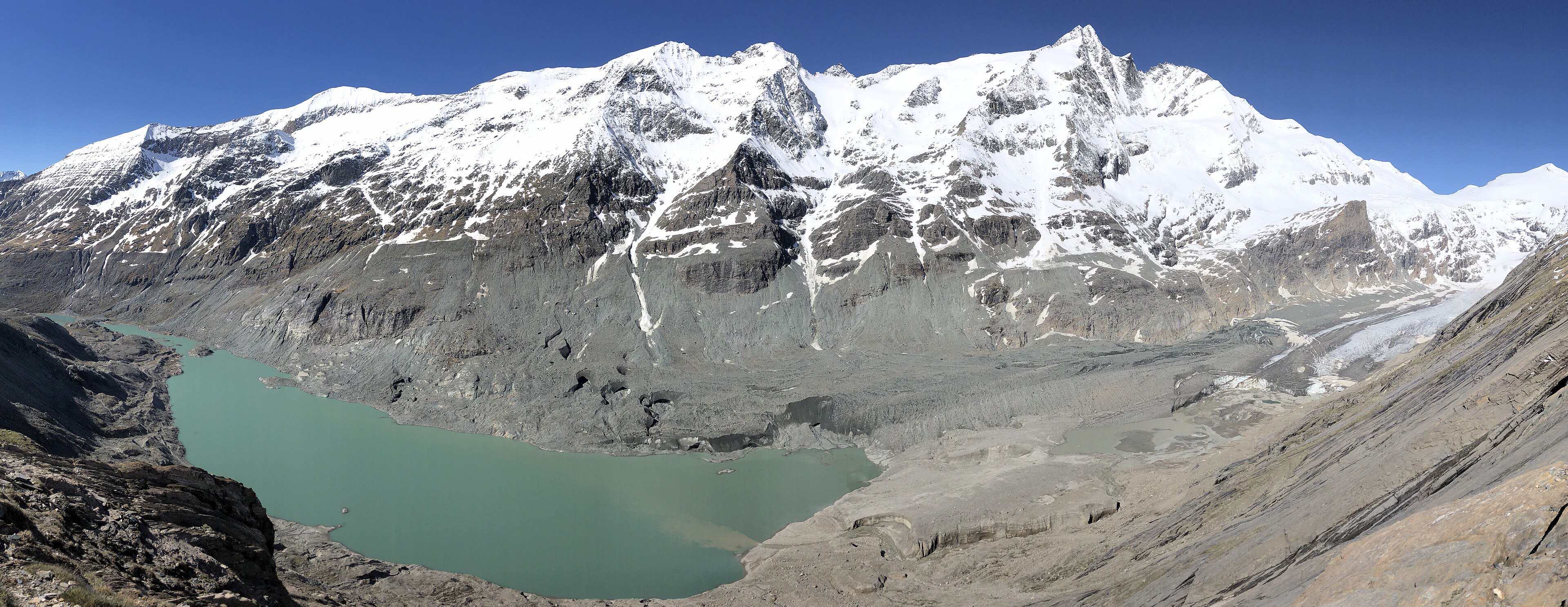
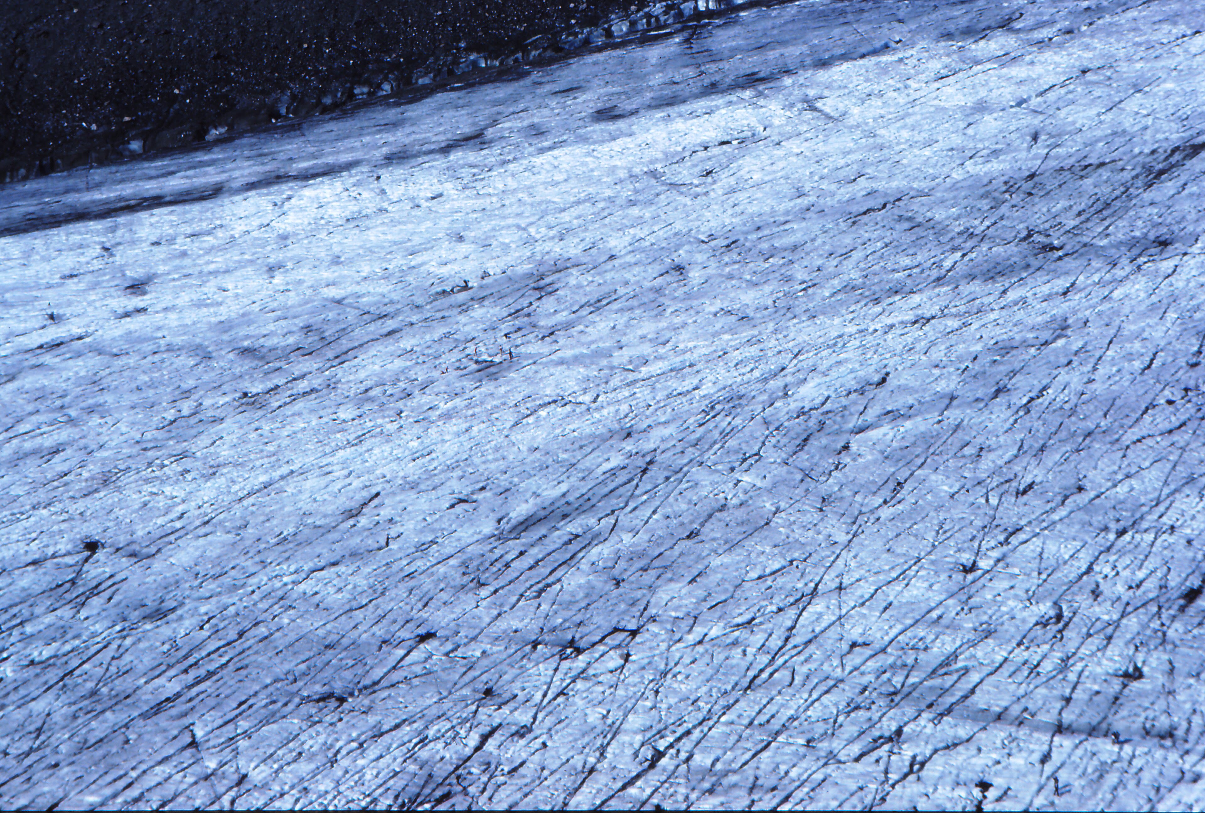
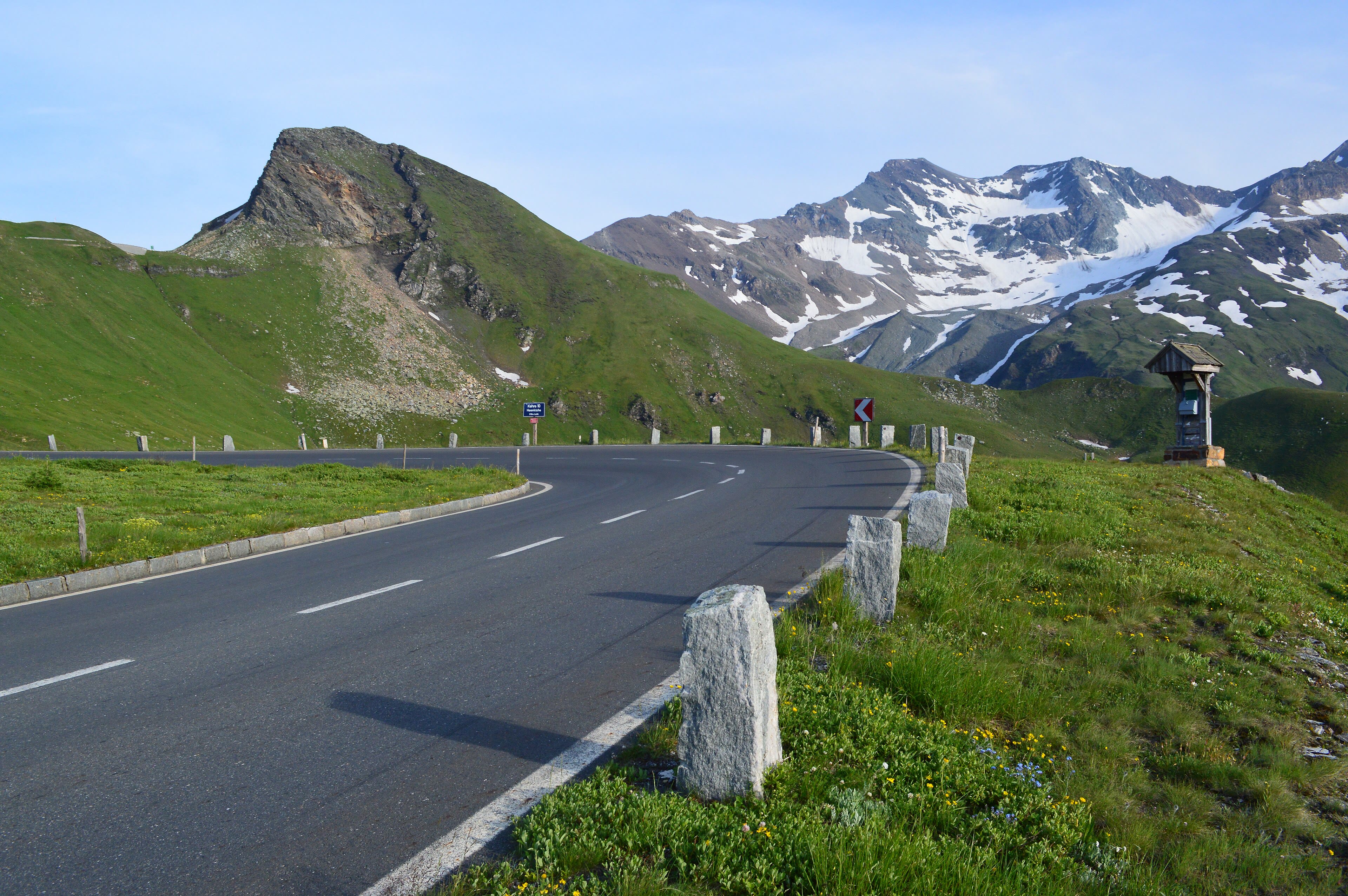
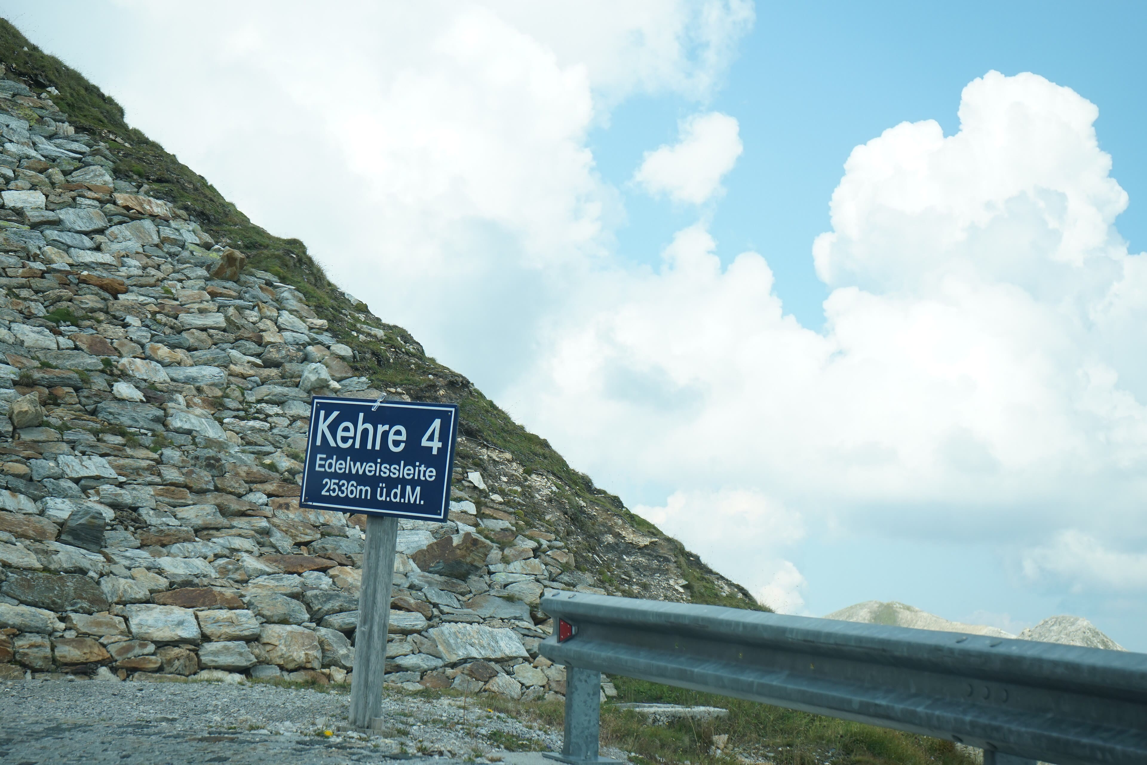
Austria keeps its highest mountain at the end of a road built to show it off, and for once the showing-off is entirely justified. The Grossglockner High Alpine Road climbs in twenty-four numbered hairpins to two thousand five hundred and four metres — engineers cut it across the spine of the Hohe Tauern in nineteen thirty-five, in the Depression, with picks, pride and three thousand workers — and at the Kaiser-Franz-Josefs-Höhe, the terrace named for an emperor's visit, the mountain fills the sky: the Grossglockner, three thousand seven hundred and ninety-eight metres, a black pyramid of rock above the Pasterze, the longest glacier in the eastern Alps. The Pasterze is retreating — the old photographs along the terrace show ice where a grey lake now spreads, and the glacier shortens year by year; a walker reads that record in the rock without needing it explained. Marmots whistle from the road walls, unimpressed. Stand on the terrace in the evening, when the road empties and the light goes the colour of the glacier's name-day, and Austria's highest ground is briefly, entirely yours.
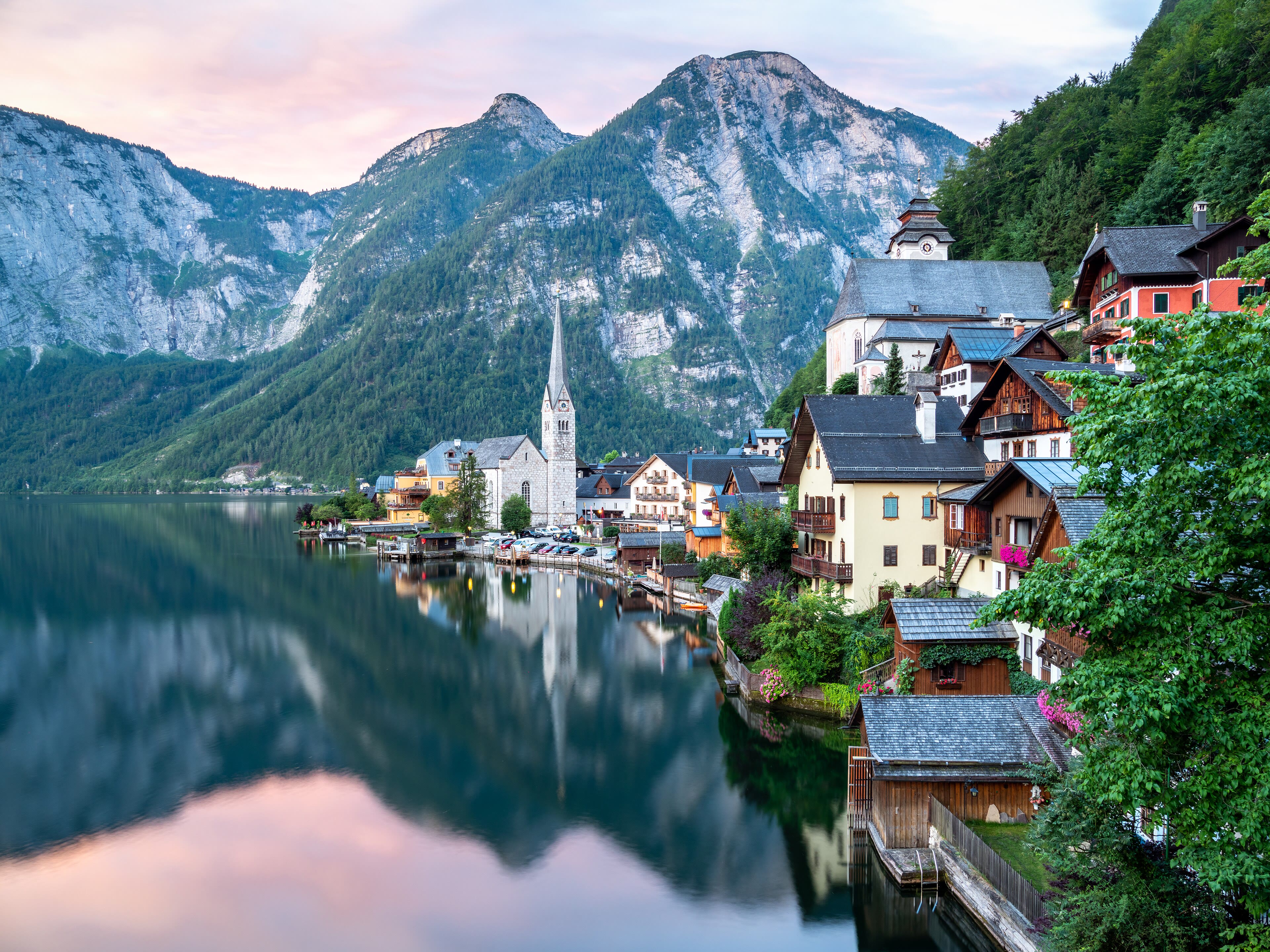
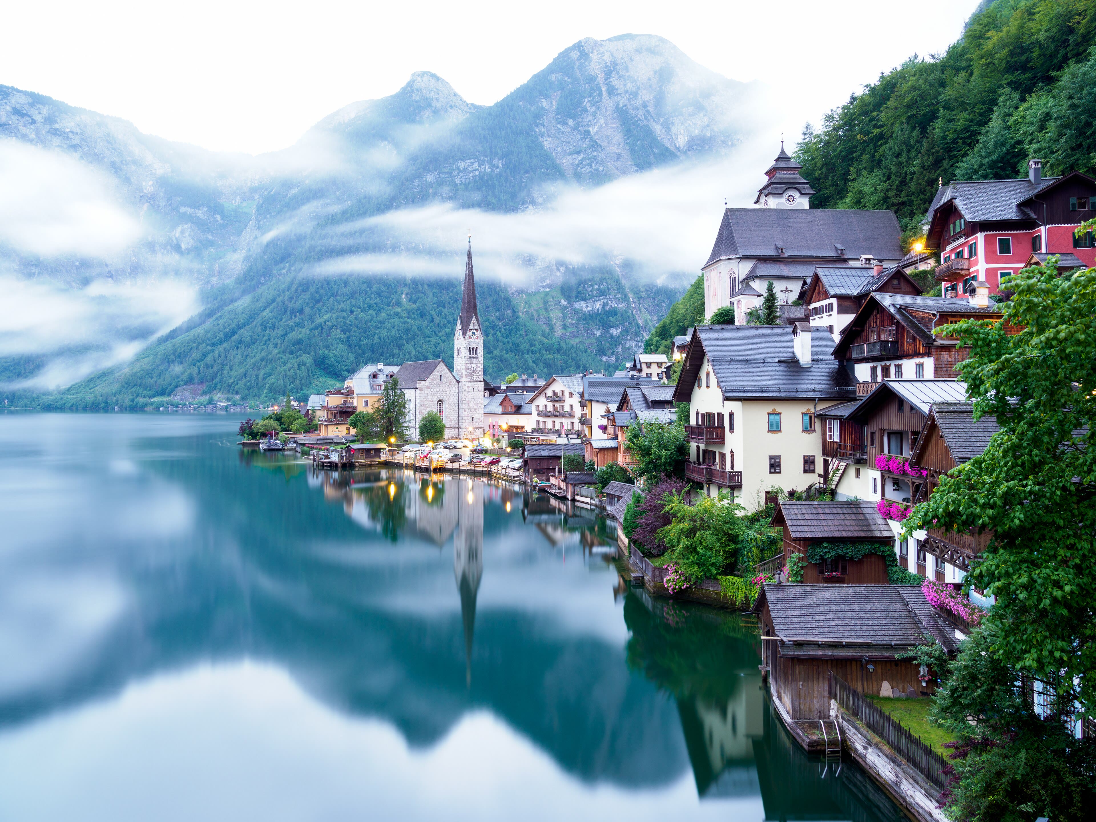
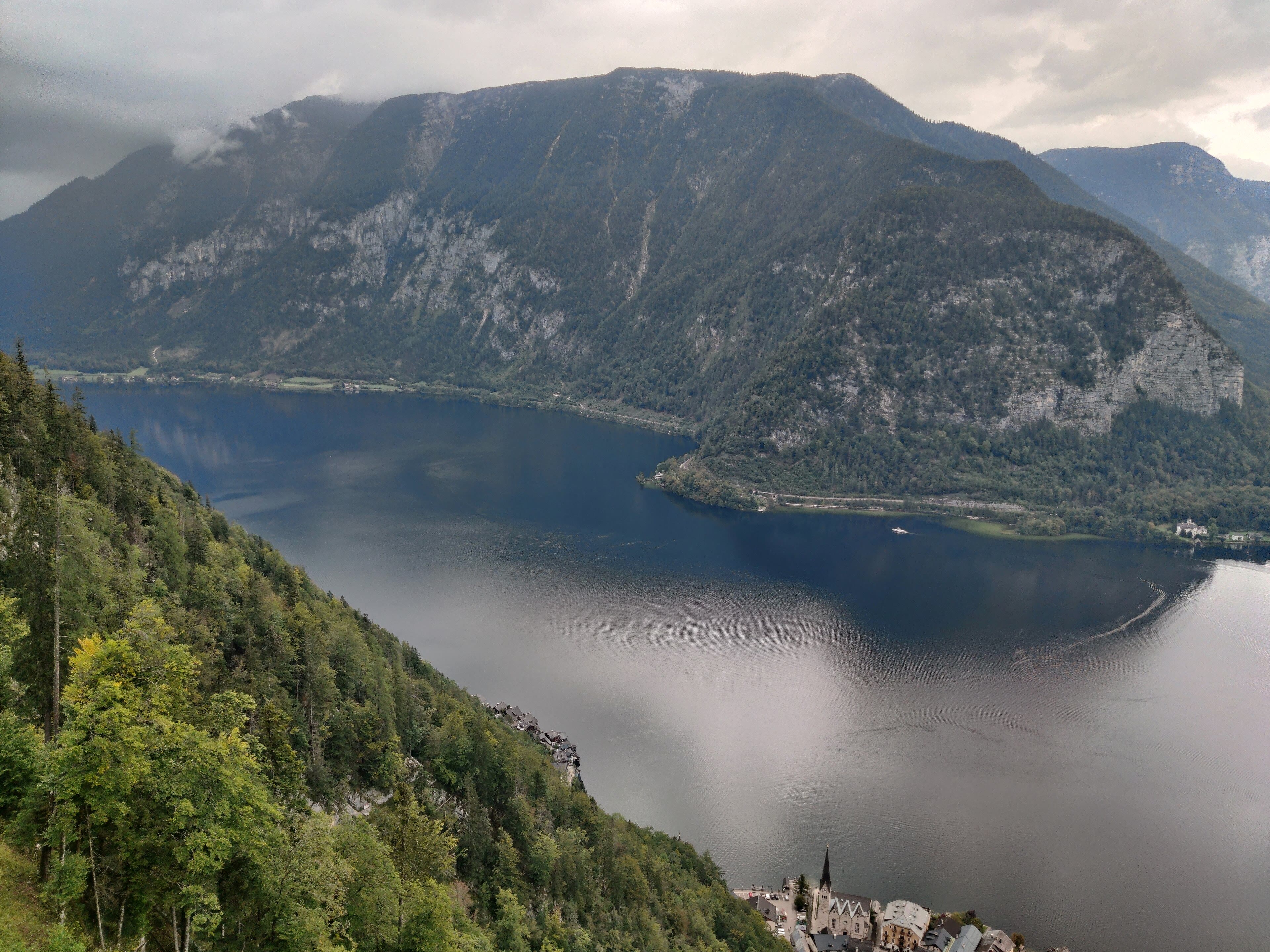
North-east now, into the Salzkammergut, where the mountains are made of salt and the lakes are black glass. Hallstatt is a village with a problem of space and a fortune in the mountain behind it: squeezed onto a shelf so narrow between cliff and lake that its houses climb over each other, and rich for seven thousand years on the salt mined above it — the oldest known salt mine in the world, with a Bronze Age staircase preserved in the dark of the workings. An entire age of prehistory carries its name. Above it all stands the Dachstein, two thousand nine hundred and ninety-five metres, carrying the easternmost glaciers of the Alps on its broad back. The village below has been copied, admired and photographed beyond all reason, and it remains, at dawn before the day boats, one of the most beautiful sights in Europe: the little town doubled in the still lake, under a wall of salt and ice. Walk the lakeside path early. Have it the way the salt men had it — quietly.
See this place in the galleryHallstatt and the Dachstein — our interpretation, created from the reference photographs below
Salzburg
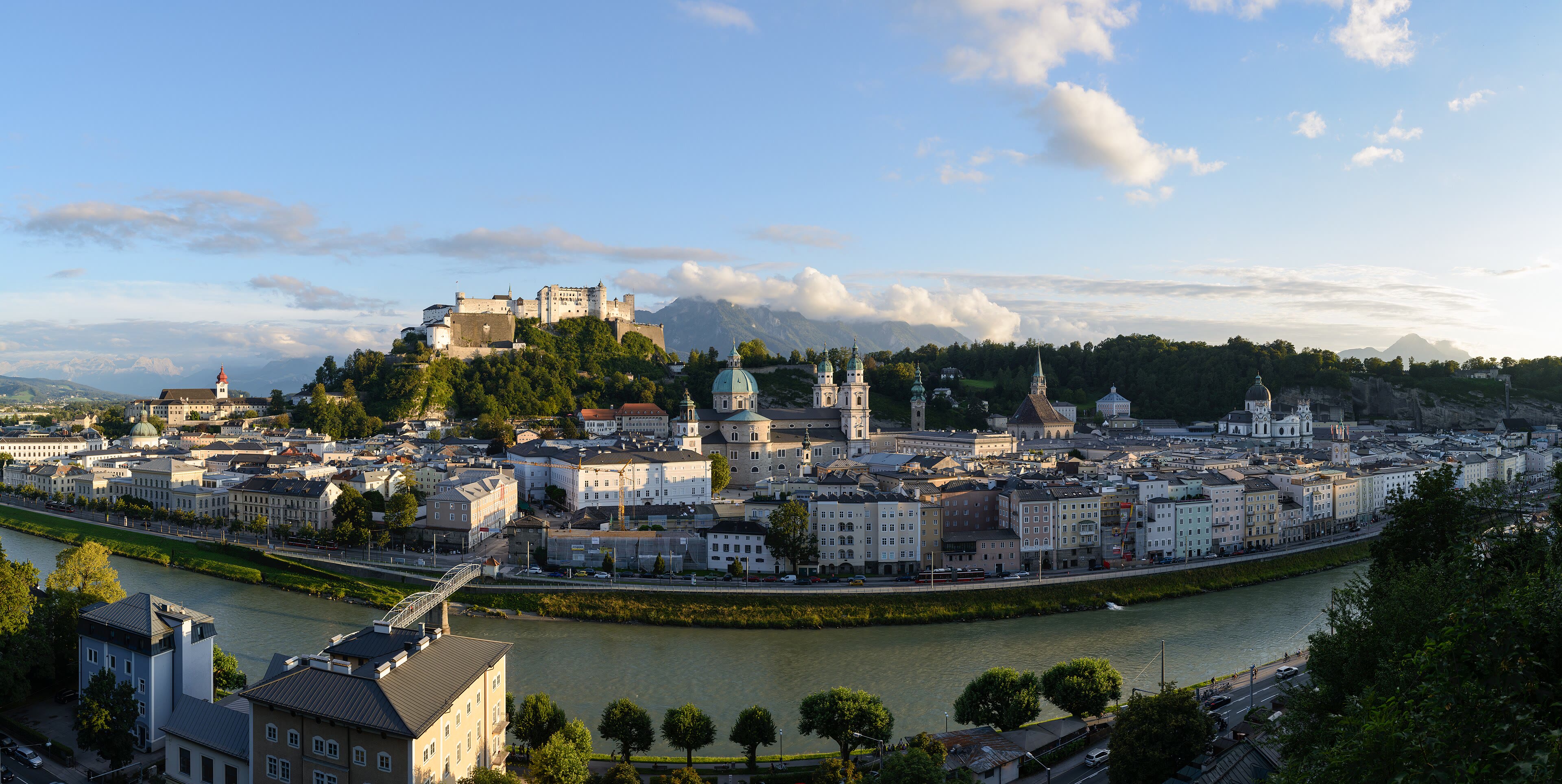
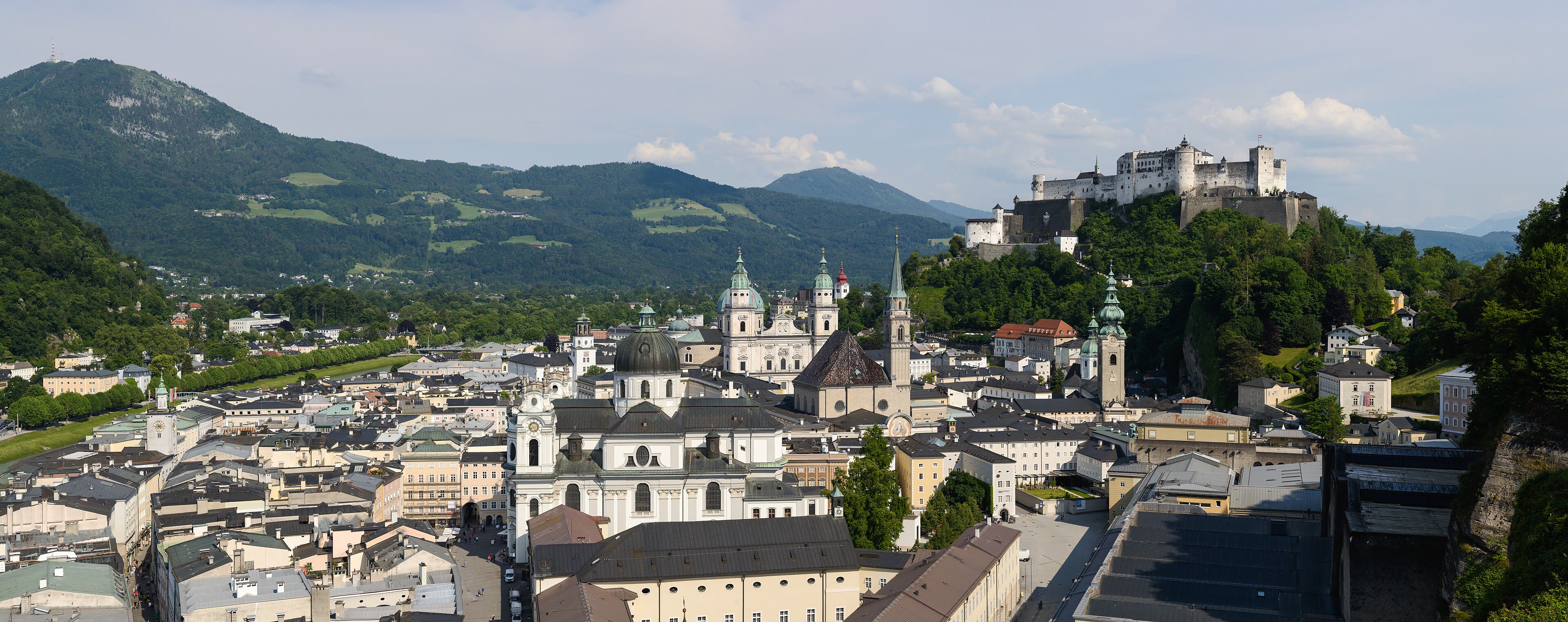
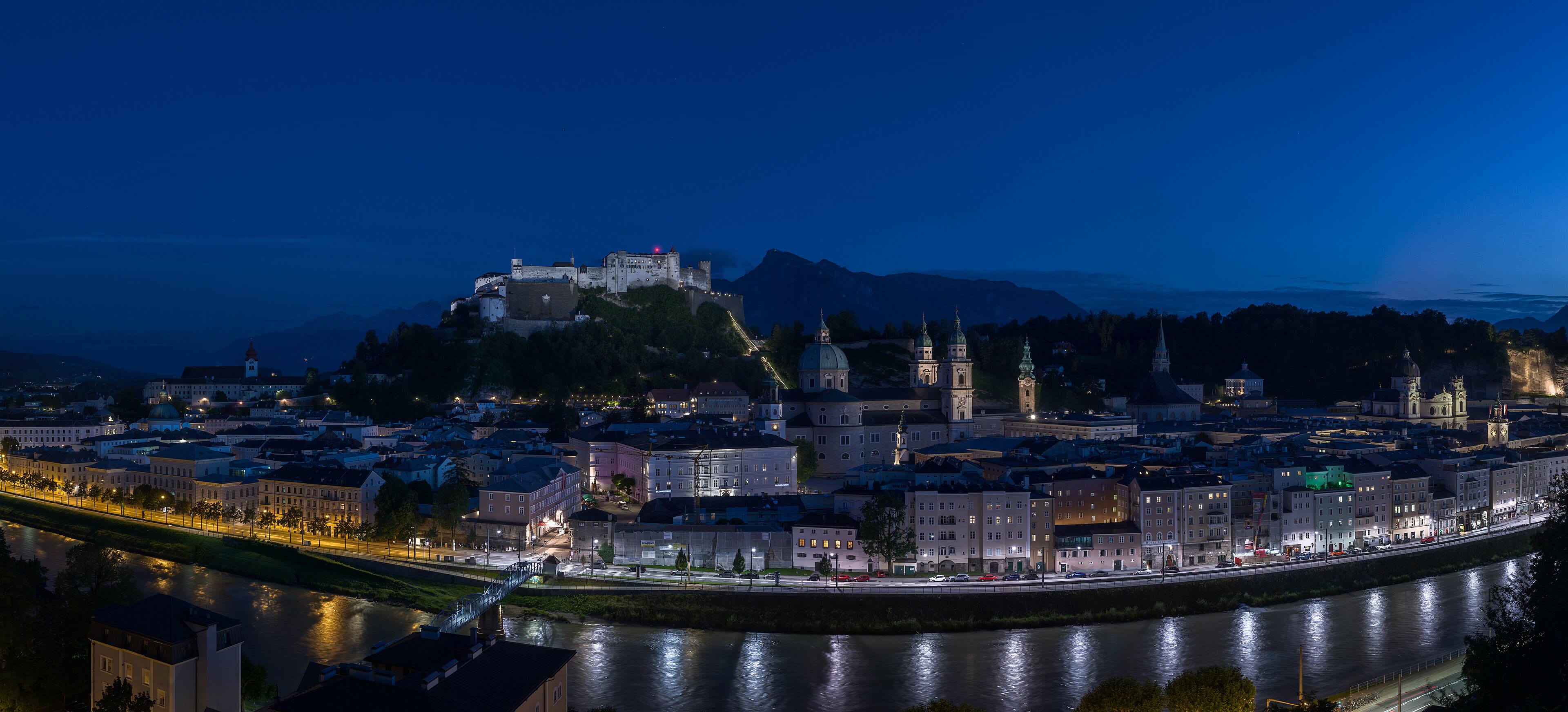
The chapter ends in a city that looks like it was composed. Salzburg spreads along the green Salzach under its fortress — Hohensalzburg, one of the largest castles in Europe, glaring down from its rock since ten seventy-seven, never taken — and the walker's eye picks out the domes and spires of a prince-archbishop's capital, rich on the same salt that built Hallstatt. In a narrow lane below the fortress, at number nine Getreidegasse, Mozart was born in seventeen fifty-six; the city has been playing his music in self-defence ever since, and the summer festival fills the squares with more of it. But for a walker, Salzburg is a threshold as much as a city: behind us, Austria walked end to end — the Arlberg to the salt country, glaciers to lakes. Ahead, the road turns south, crosses into Italy, and rises into the pale mountains: the Dolomites, where the rock itself changes colour. Rest the legs here. Eat well. The last chapter of the Long Way is the strangest and the loveliest, and it starts in a few days' walking south.
See this place in the gallerySalzburg — our interpretation, created from the reference photographs belowReference photographs — St. Anton and the Silvretta · 4 photographsReference photographs — Innsbruck and the Nordkette · 3 photographsReference photographs — The Zillertal · 3 photographsReference photographs — Alpbach and Kitzbühel · 3 photographsReference photographs — Zell am See and Kaprun · 4 photographsReference photographs — The Grossglockner · 4 photographsReference photographs — Hallstatt and the Dachstein · 3 photographsReference photographs — Salzburg · 3 photographs
Chapter Six — The Dolomites
8 scenes · 24 reference photographs
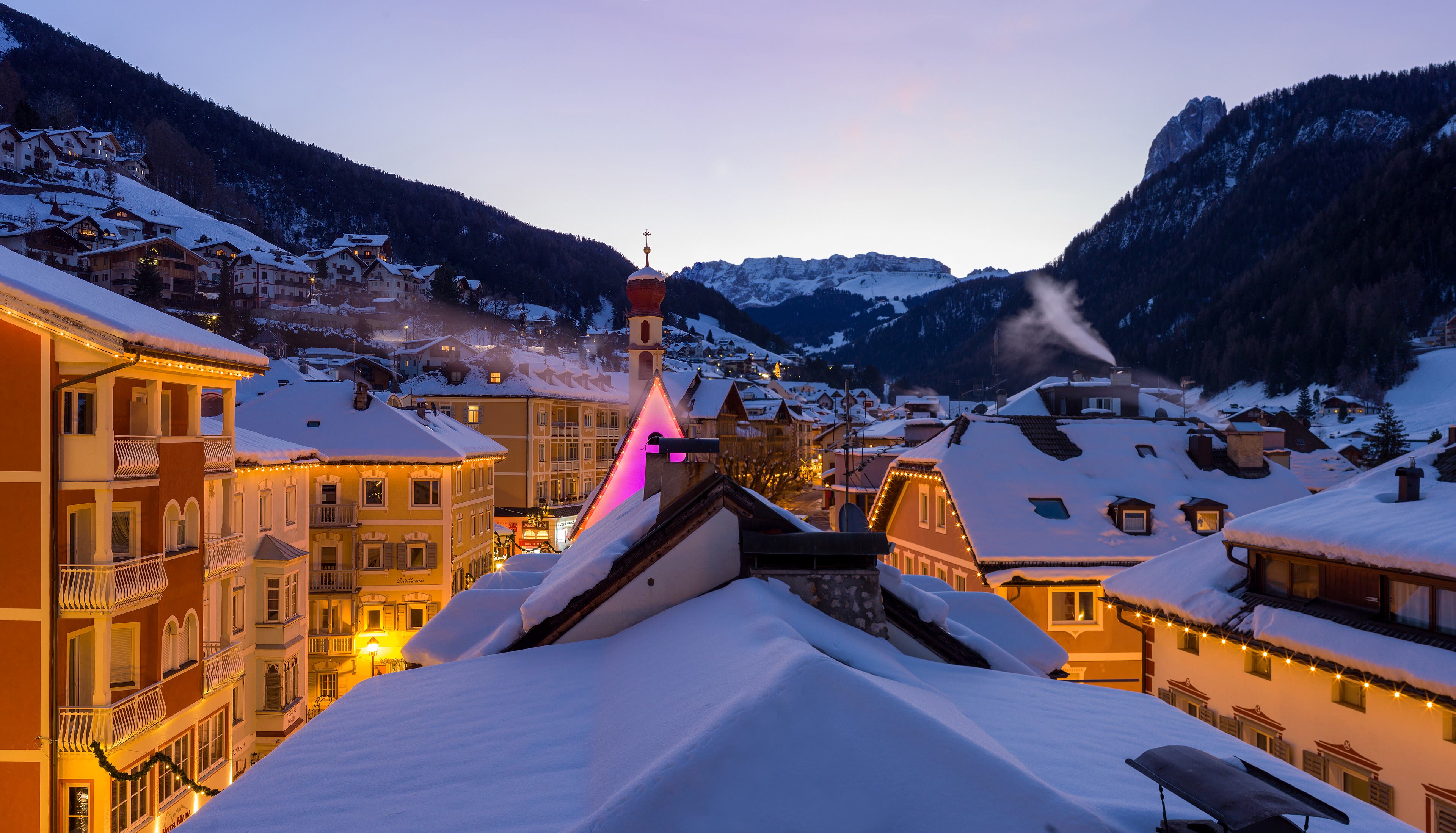
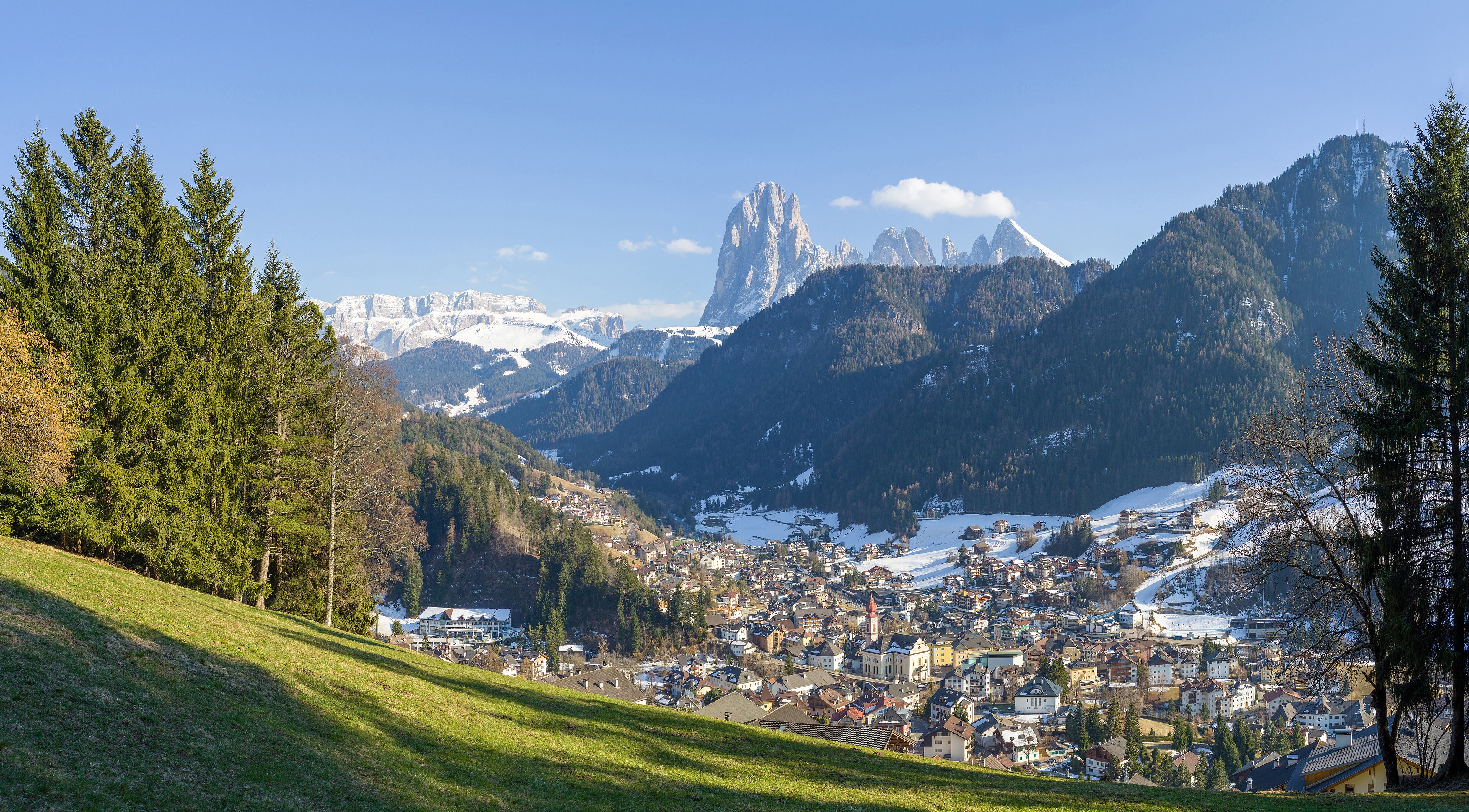
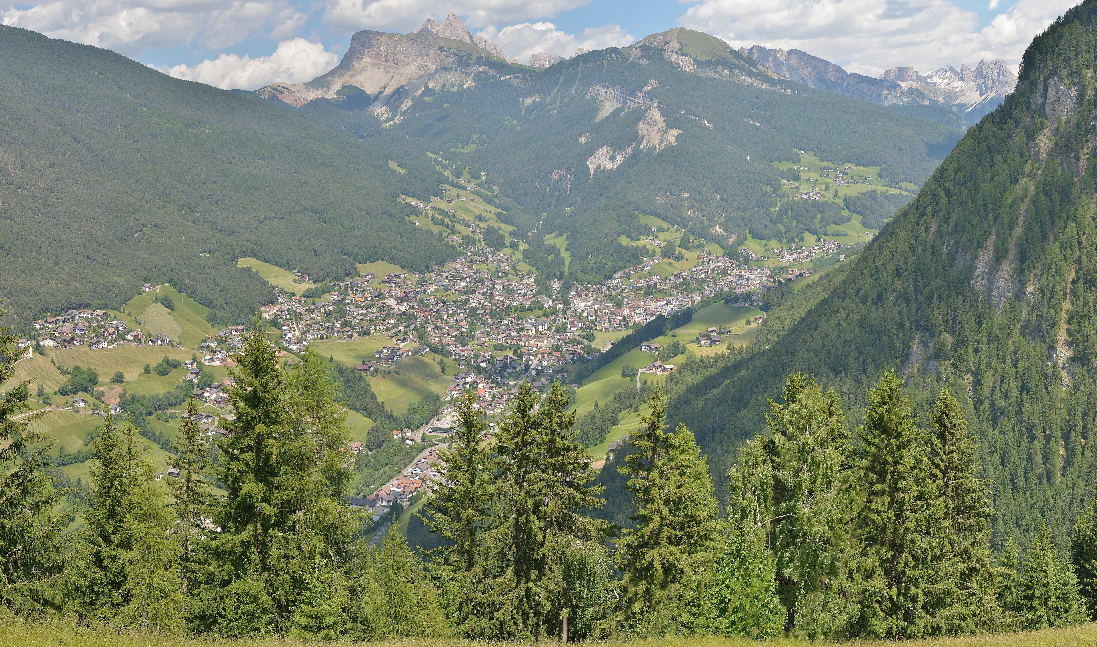
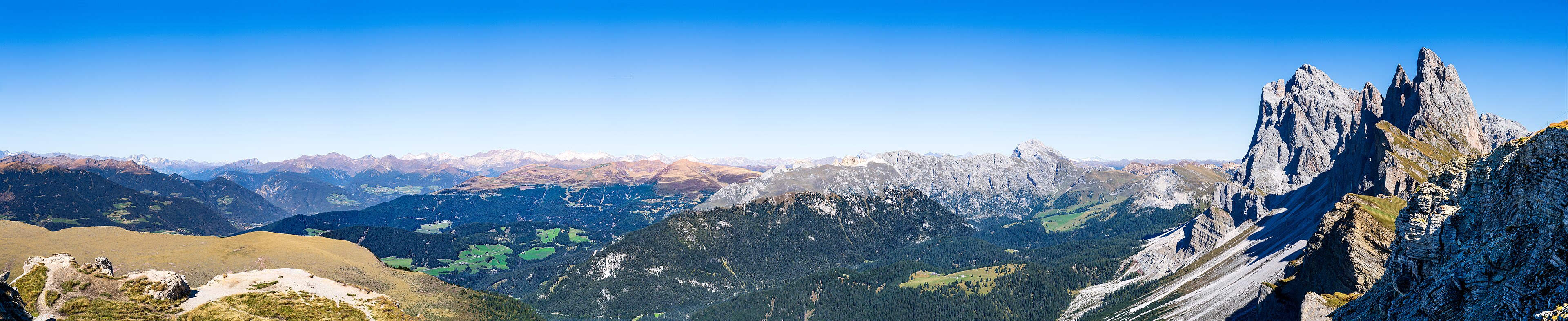
Val Gardena and the Sassolungo
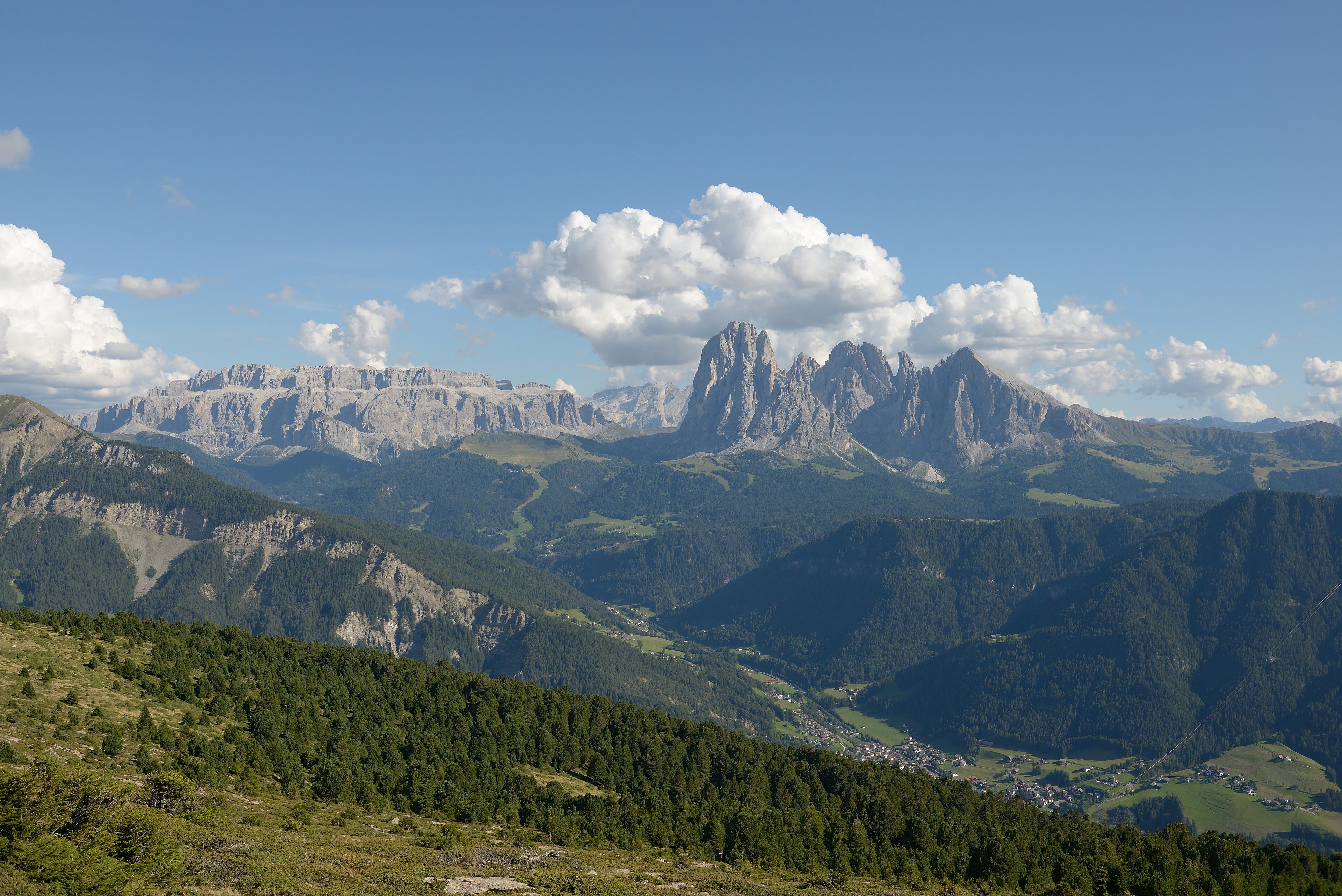
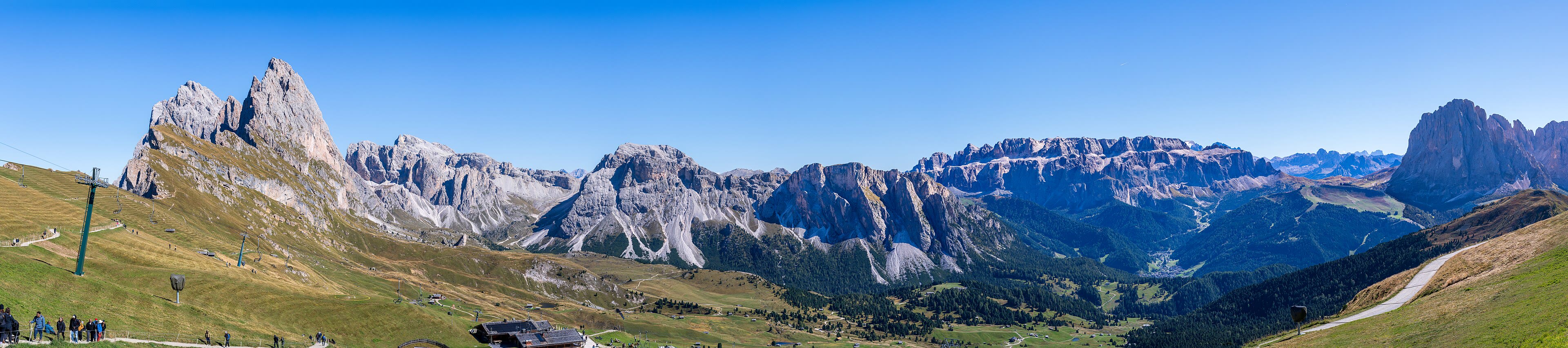
South over the Brenner and into Italy — and the mountains change their nature under your boots. The Dolomites are not granite or gneiss like the ranges behind us; they are the pale skeletons of an ancient tropical sea, coral rock lifted two thousand metres into the sky, and they behave like nothing else in the Alps: sheer walls, towers and teeth, glowing rose at sunset. The walk begins in Val Gardena, a valley that speaks Ladin — the old language of these mountains, older than the borders drawn over it — and carves saints and skiers out of pine wood in workshops along the road. Ortisei spreads its painted houses under the great flat-topped wall of the Sassolungo, the Long Stone, which stands over the valley like a fortress keep. Cable cars climb, walkers scatter onto a hundred marked paths, and every bench seems placed by somebody who understood views. Boots on, then, for the last chapter of the Long Way — the strangest mountains in Europe, and by many walkers' reckoning the finest.
Val Gardena and the Sassolungo — our interpretation, created from the reference photographs below
Seceda and the Odle
Above Ortisei, the lift climbs to a ridge that has become one of the most photographed edges in the Alps: Seceda, two thousand five hundred and eighteen metres, where a tilted green meadow runs along the skyline and then simply stops — falling away in a cliff on the northern side. And across that drop stands the reason everyone comes: the Odle group, a row of pale spires and blades as jagged as a torn seam, the mountains at their most theatrical. The geology tells the story plainly enough — hard rock standing, soft rock fallen — but a walker standing on the Seceda grass with the wind coming up the cliff doesn't reach for geology. The path runs along the ridge toward the Regensburger hut and the meadows under the spires, where the cows graze in scenery that looks arranged. Every range on this journey had a signature view. The Dolomites put theirs in the second stop of the chapter and dared the rest to follow.
Seceda and the Odle — our interpretation, created from the reference photographs below
Alpe di Siusi
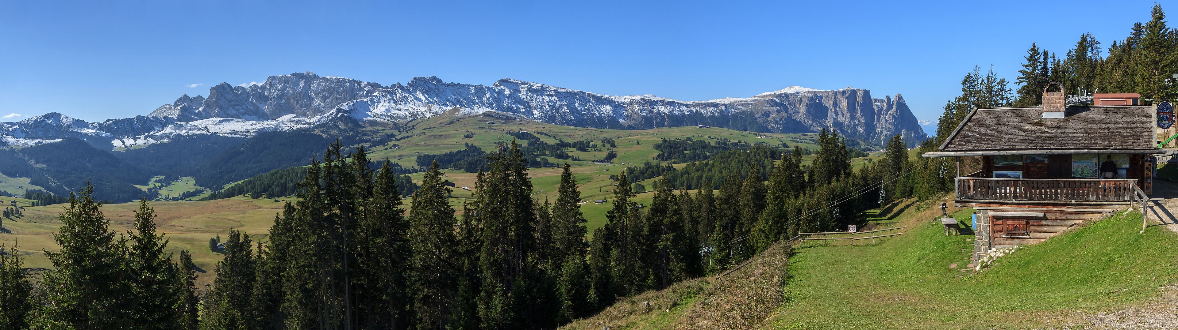
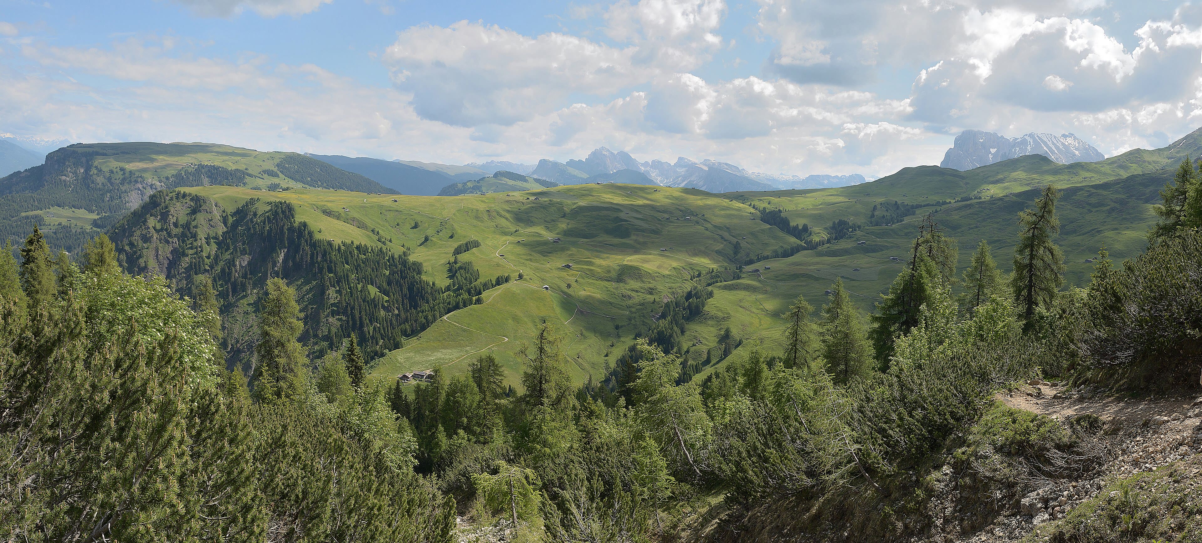
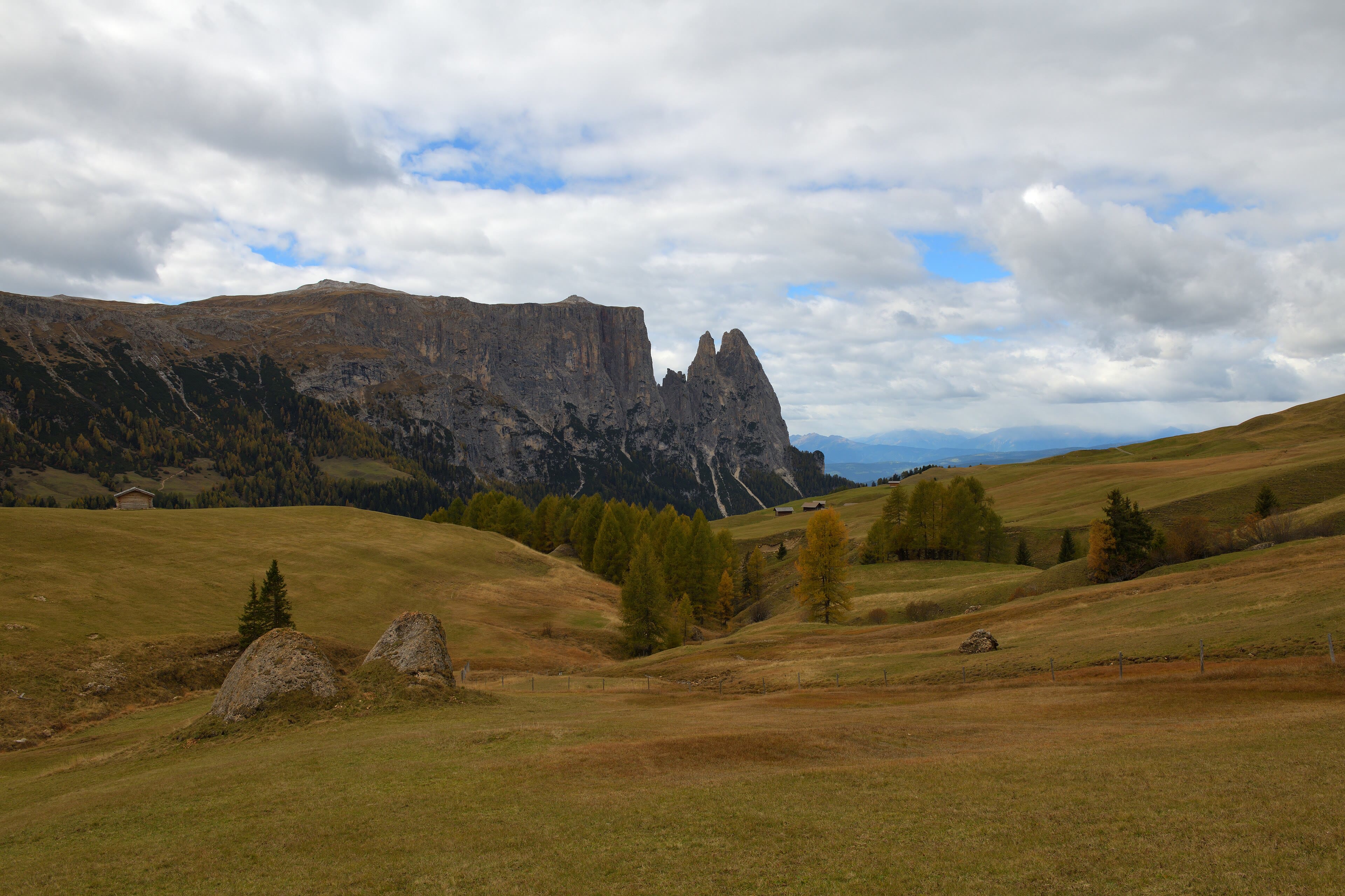
Over the shoulder from Gardena, the land opens into something gentler and, in its way, just as astonishing: the Alpe di Siusi, the largest high mountain meadow in Europe — fifty-six square kilometres of rolling grass at two thousand metres, dotted with hay huts and larch copses, walked by paths that wander rather than climb. And standing over the meadow's edge like a great ship at anchor is the Sciliar, flat-topped and unmistakable, the landmark of the whole western Dolomites. Farmers still scythe these slopes the old way in places, and the hay-making sets the calendar; the little huts are for the hay, not the tourists, which is why the meadow has kept its soul. A walker crosses it in a long easy day, stopping at farm inns for dumplings, watching the Rosengarten across the valley turn its evening colours. After the cliffs of the Odle, this is the Dolomites breathing out — proof that even the most dramatic range in Europe keeps a green heart.
Alpe di Siusi — our interpretation, created from the reference photographs below
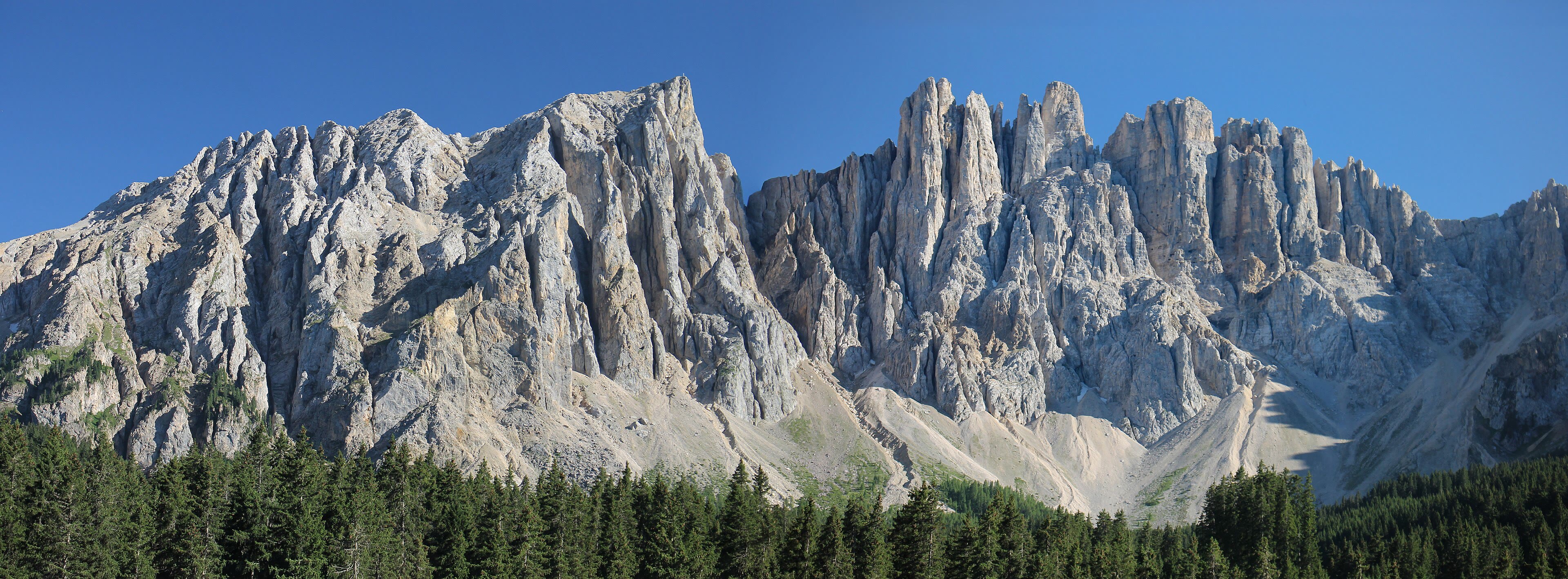
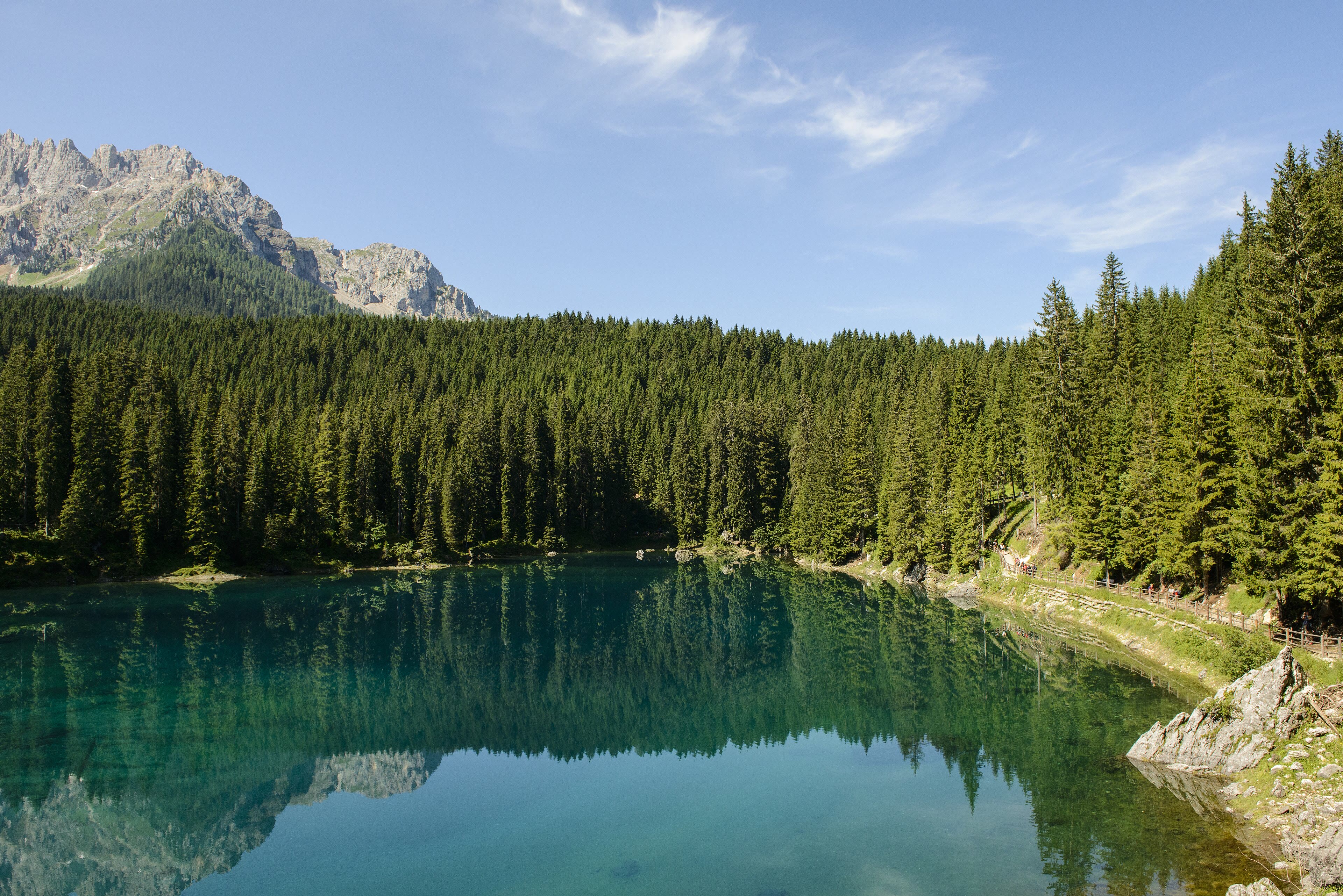
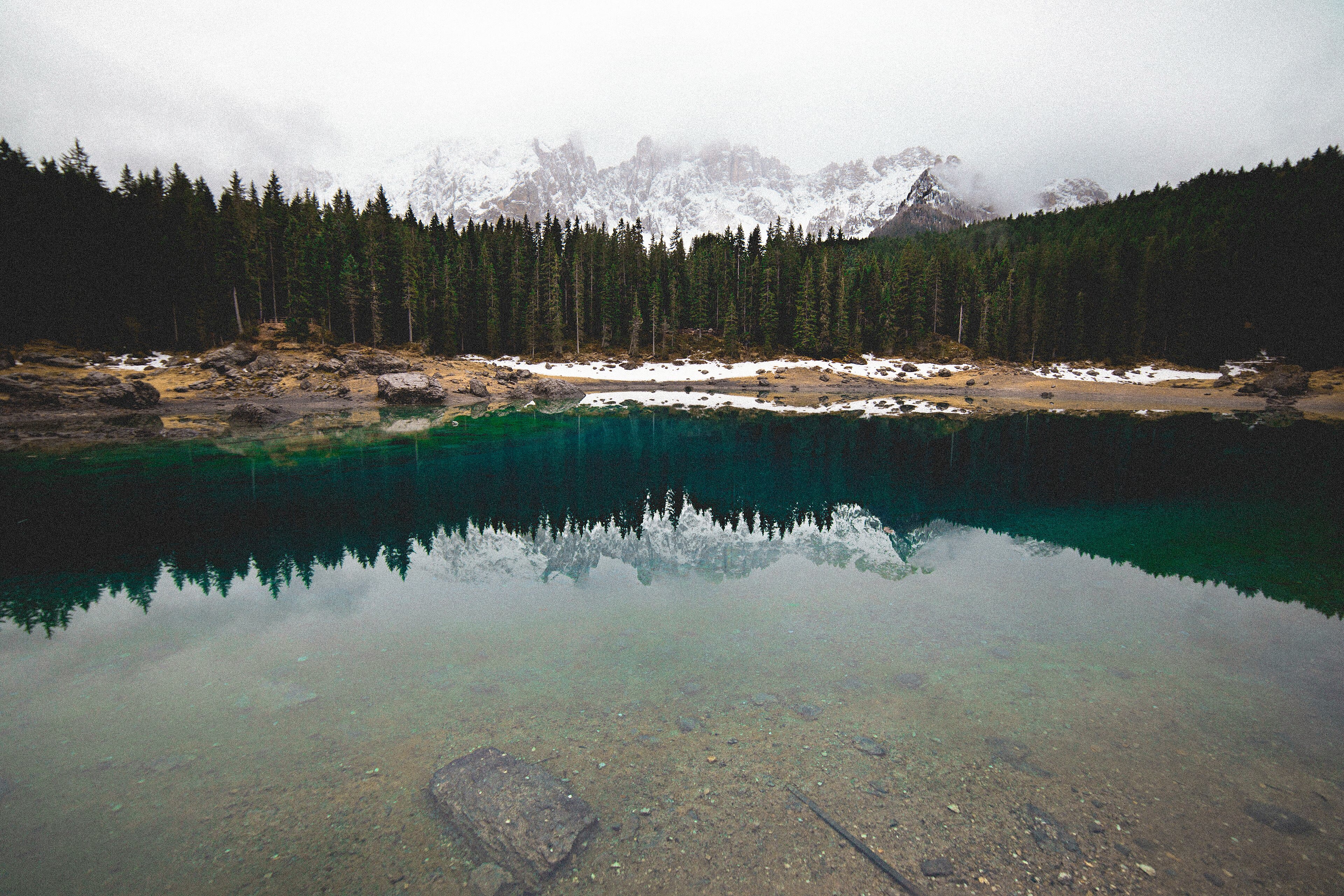
Lago di Carezza and the Rosengarten
South into the Val d'Ega, a small lake performs the range's most famous trick. The Lago di Carezza is no bigger than a village pond, but its water holds a green so deep it seems lit from below, and in it, on a still morning, the Latemar stands upside down, spire for spire. The legend says a wizard dropped a rainbow into this lake — the colours are still in the water, say the locals, and standing at the shore at dawn, arguing with them feels like poor manners. Above the valley eastward rises the other great wall of this stop: the Rosengarten, the Catinaccio, which at sunset performs the enrosadira — the alpenglow that sets the pale rock burning rose and violet. The story told for it is King Laurin's rose garden, cursed to be seen neither by day nor night — so it shows itself at dusk, when it is neither. Tales, both of them. But the colours are real, and timed walks to the viewpoints are a local institution. Come at dusk and watch a legend do its work.
Lago di Carezza and the Rosengarten — our interpretation, created from the reference photographs below
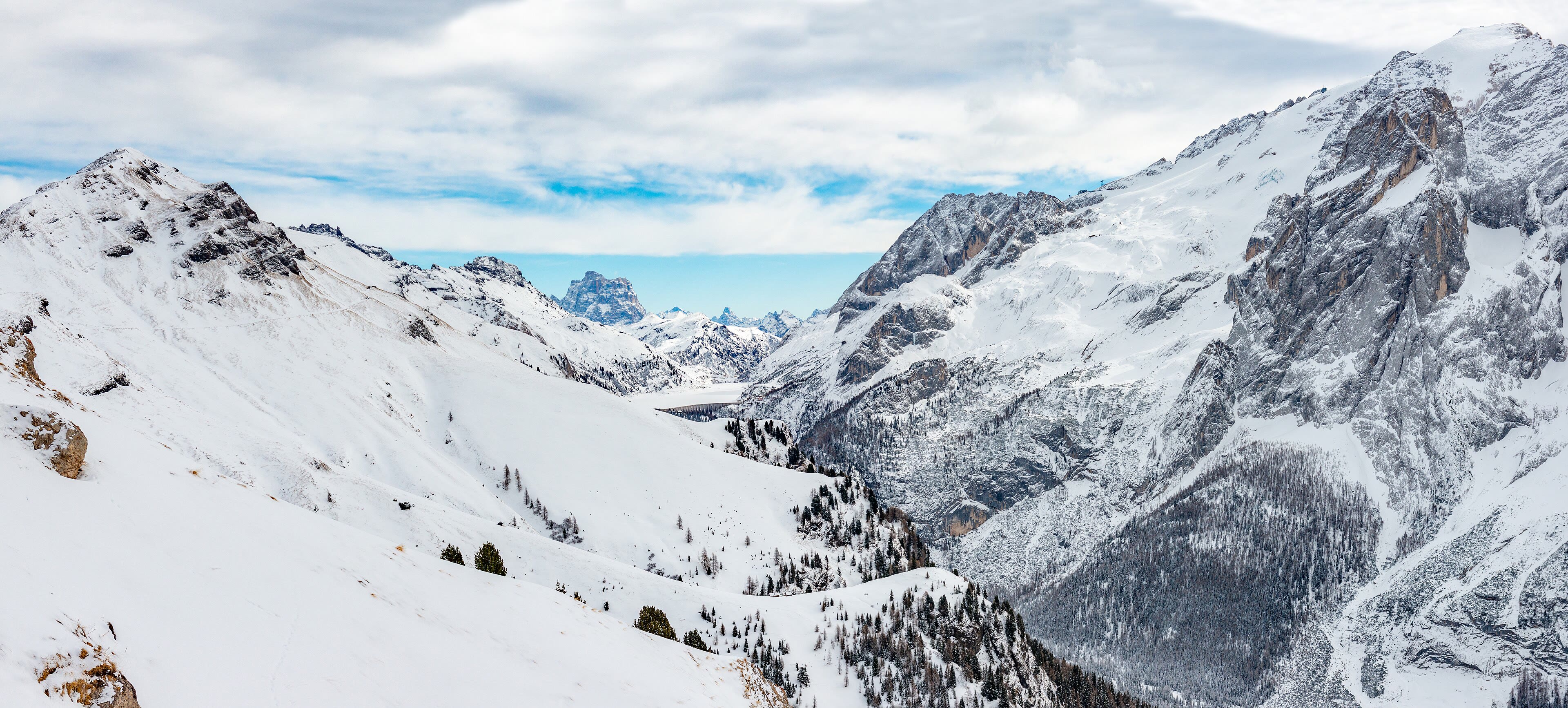
The Marmolada
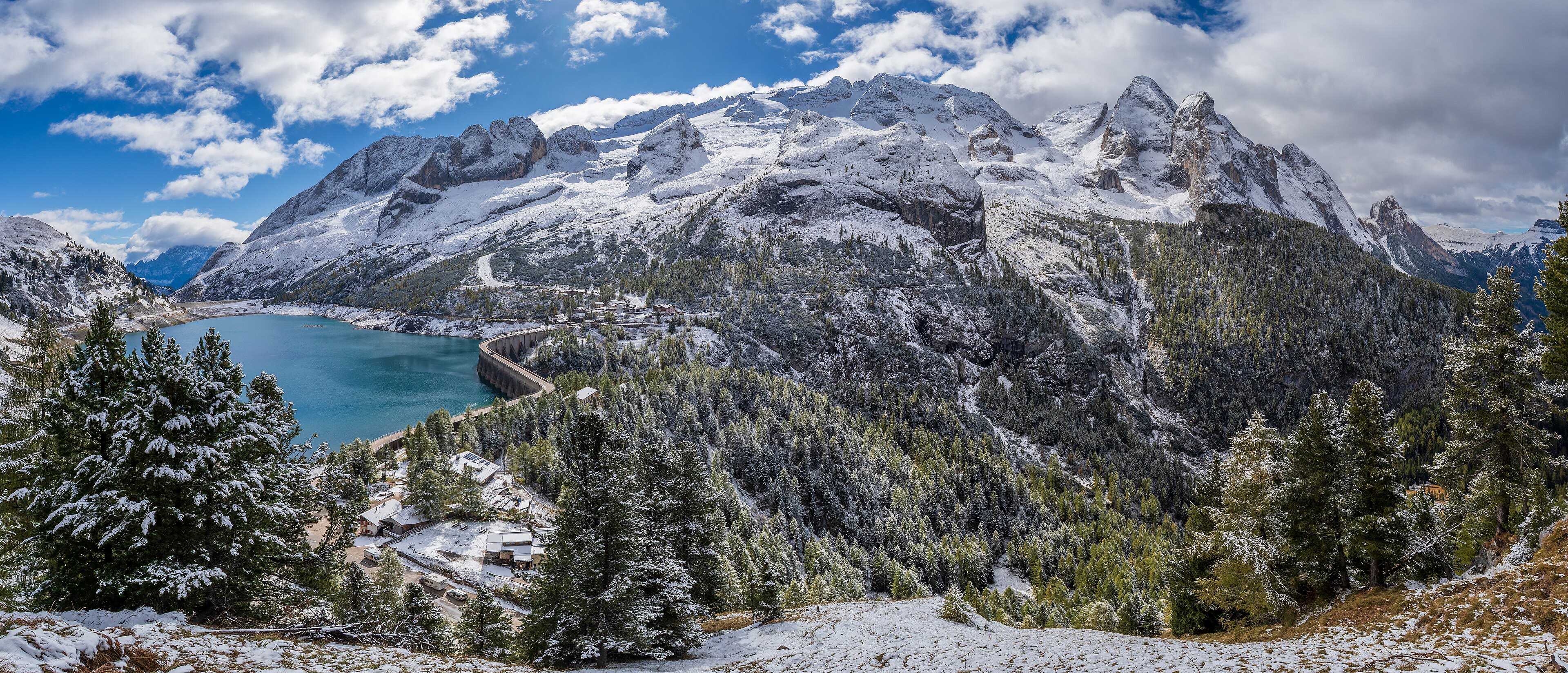
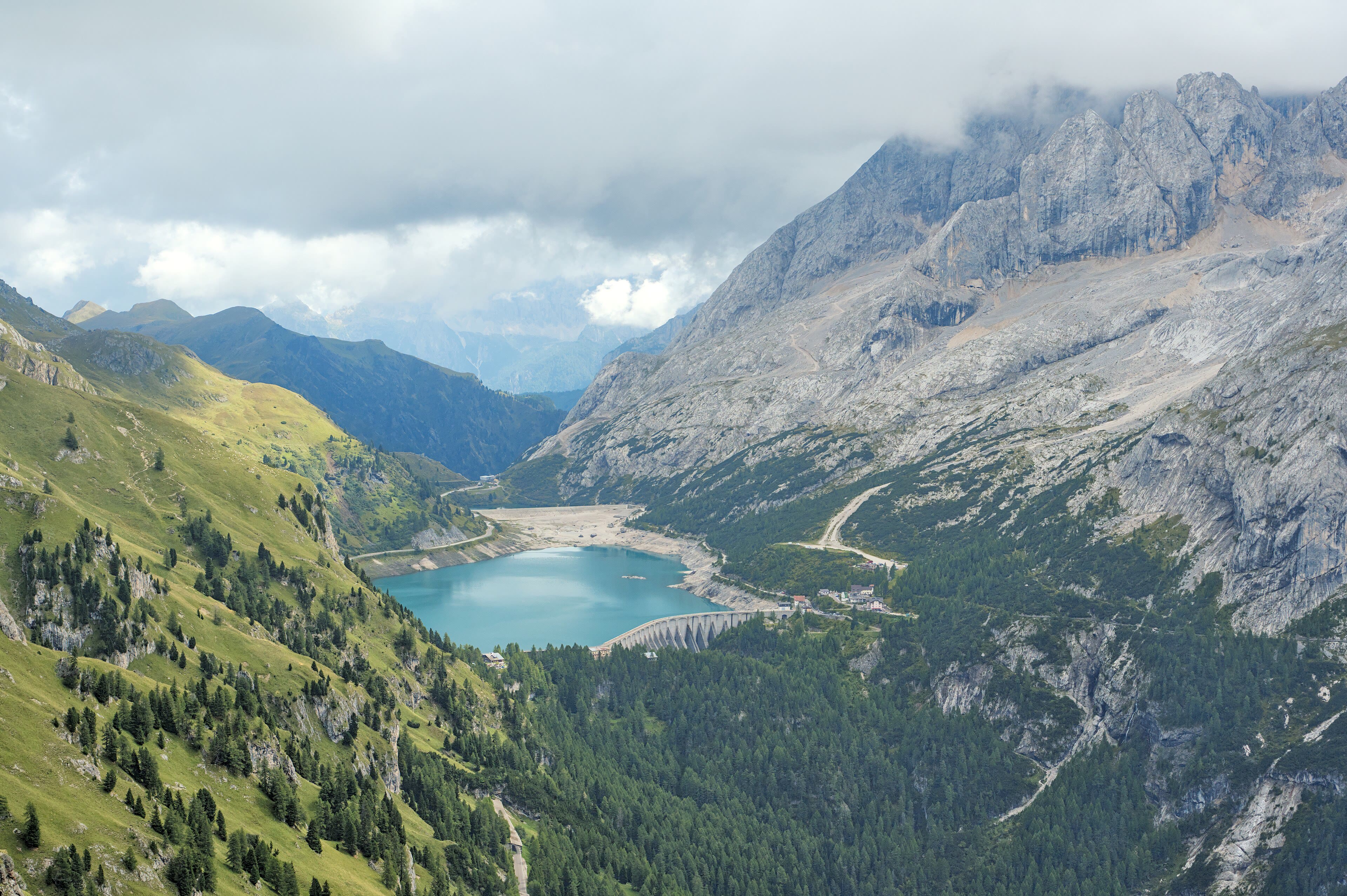
Every range keeps a monarch, and the Dolomites keep theirs in ice. The Marmolada rises to three thousand three hundred and forty-three metres, the highest summit in the Dolomites, and carries the range's one great glacier on her northern flank — a white shoulder above the Fedaia pass and its long dammed lake. Walkers take the lifts from Malga Ciapela toward the top station, or earn the approach on the paths from the pass, and from the high terraces the whole pale kingdom arranges itself in ranks: Sella, Civetta, Pelmo, the Tofane. Honesty belongs in this stop too. The glacier is retreating fast, shrinking in extent and thickness within a single walking lifetime — and in twenty twenty-two a section of it collapsed without warning, with tragic loss of life. The mountain is beautiful, and it is not tame, and both facts deserve saying in the same breath. A walker pays the Marmolada the oldest compliment there is: respect, and a photograph taken quietly.
The Marmolada — our interpretation, created from the reference photographs below
Passo Giau and Cortina
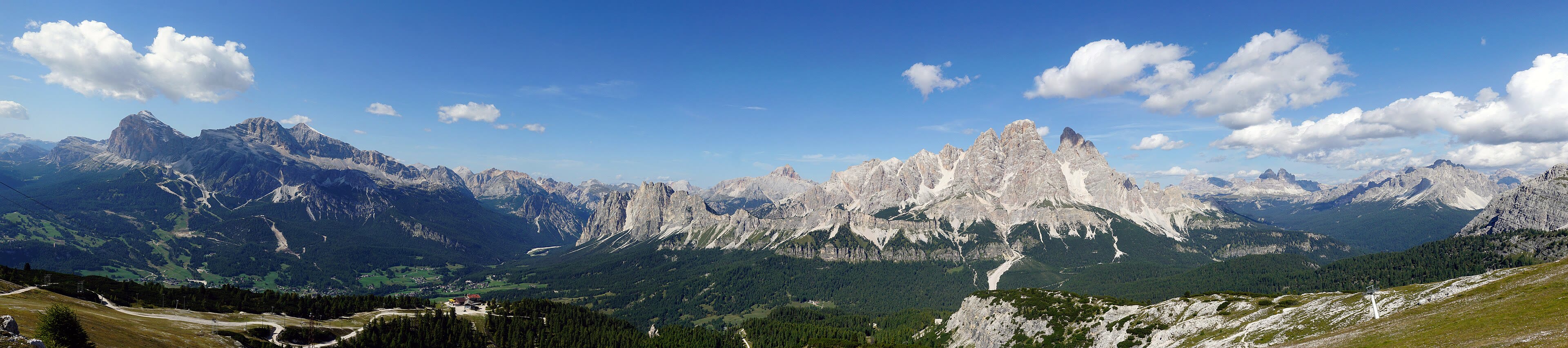
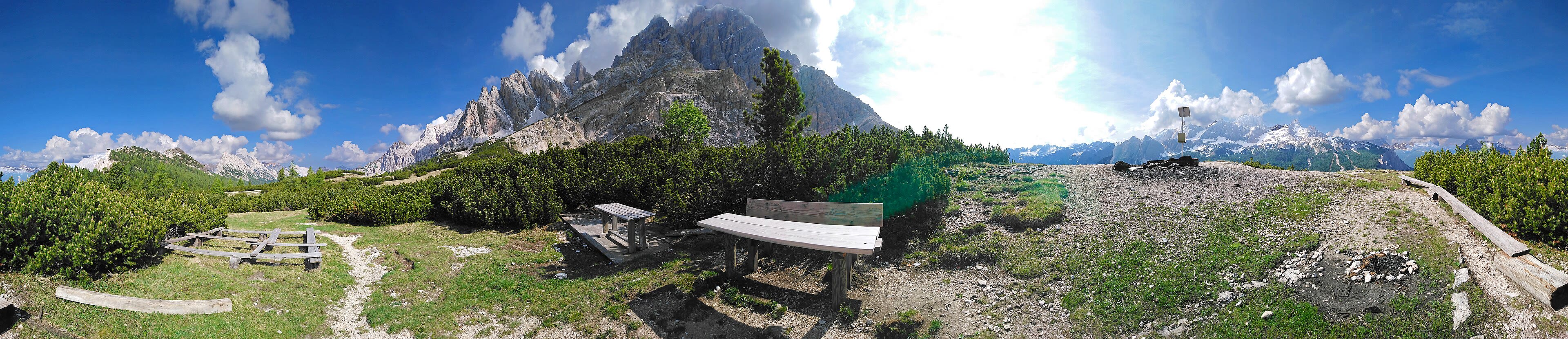
The road over the Passo Giau performs twenty-nine hairpins up to two thousand two hundred and thirty-six metres, and at the top the Ra Gusela stands like a single castle tower left behind by the range-builders — but a walker leaves the road for the meadow paths under the Averau and Nuvolau, where a little rifugio has perched on a summit since the nineteenth century. Then down, in long green zigzags, to Cortina d'Ampezzo: the pearl of the Dolomites, a resort town in a wide sunny bowl entirely ringed by pale giants — Tofane, Cristallo, Sorapis standing round it like courtiers. Cortina hosted the Winter Olympics in nineteen fifty-six and did it again this year, seventy years on, with the mountains as the same unchanging backdrop. The evening passeggiata fills the Corso with people dressed better than any walker; find a bench anyway, order something cold, and watch the enrosadira work its way round the bowl, wall by wall. There are worse finishes to a walking day anywhere on Earth.
See this place in the galleryPasso Giau and Cortina — our interpretation, created from the reference photographs below
Tre Cime di Lavaredo
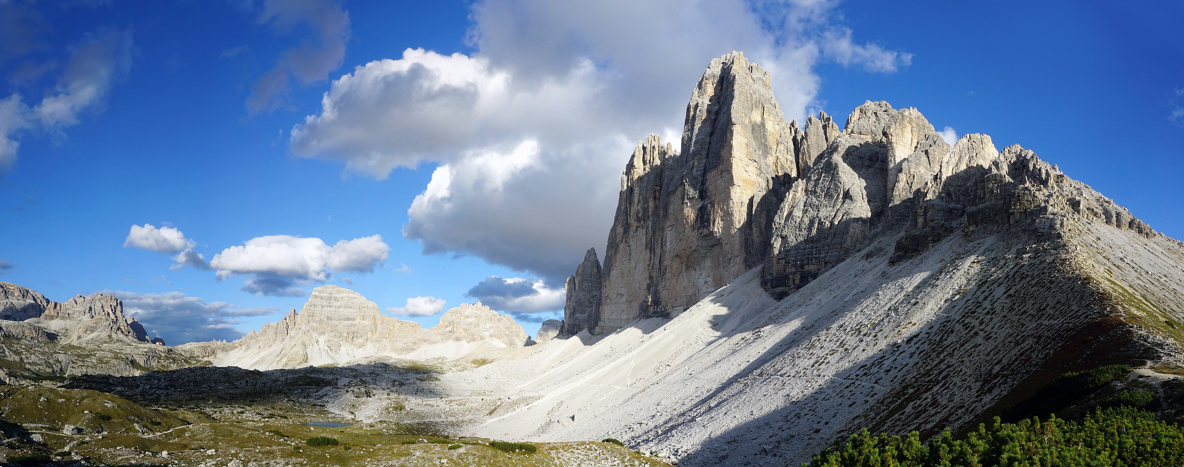
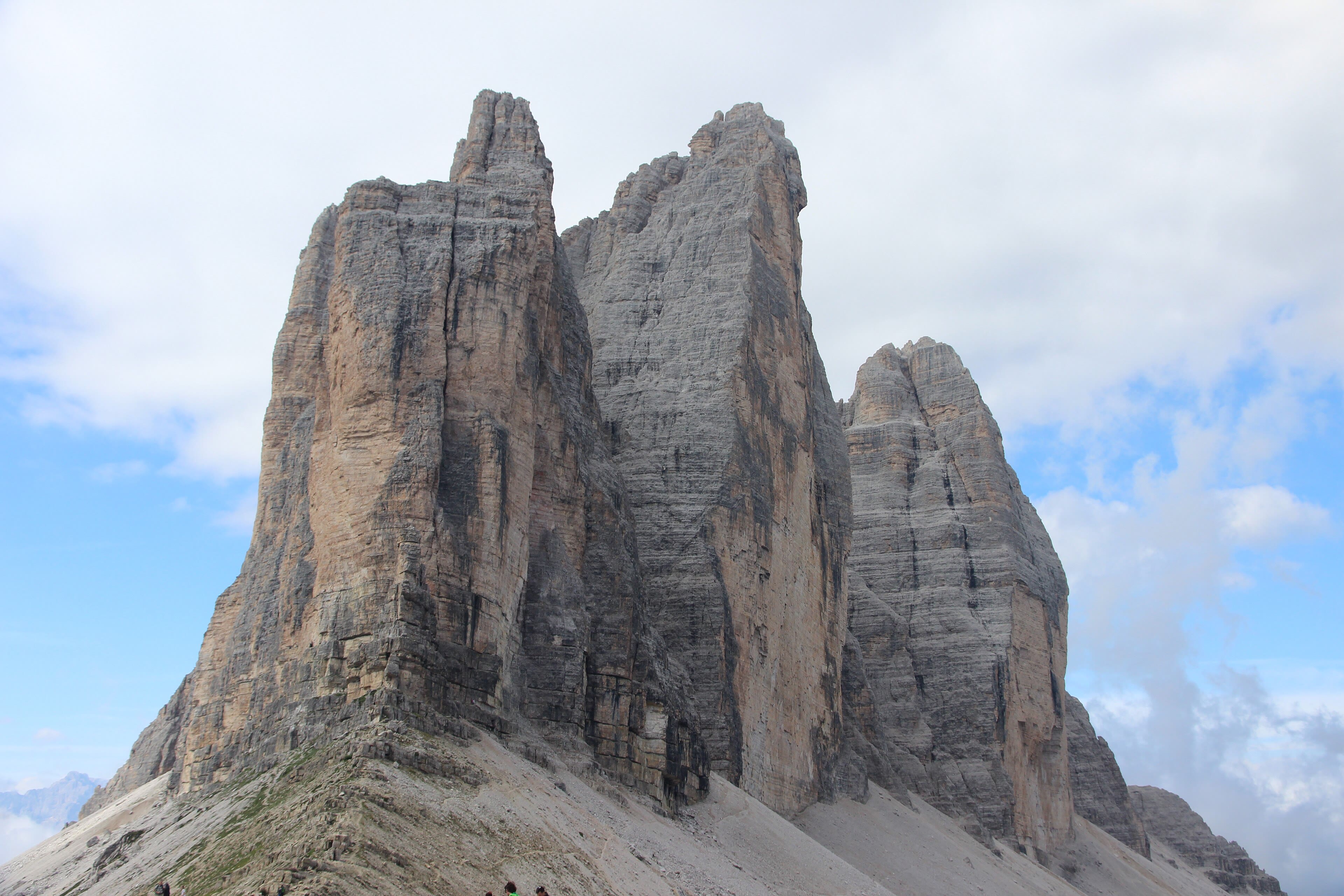
North of Cortina, a toll road climbs to the Rifugio Auronzo, and the path from its door performs the most famous walk in the Dolomites: the circuit of the Tre Cime — the Three Peaks of Lavaredo. Three towers of pale rock, the tallest two thousand nine hundred and ninety-nine metres, standing in a row so perfect they look placed: photographed a million times, and somehow still startling in the flesh. The path circles them at rifugio height — Locatelli hut across the way, with the postcard view and the lakes below — a half-day's walk that never leaves the sight of the walls. But walk it knowing what it also is: a front line. Between nineteen fifteen and nineteen seventeen, Italian and Austrian soldiers fought and froze on these ridges; the tunnels, trenches and cemeteries are still in the rock. Men died for these stones within living memory of people I have walked with. The peaks don't care, and gleam regardless. A walker can hold both: the finest view in the Dolomites, and a quiet thought for the boys in the tunnels.
See this place in the galleryTre Cime di Lavaredo — our interpretation, created from the reference photographs below
Lago di Braies, Journey's End
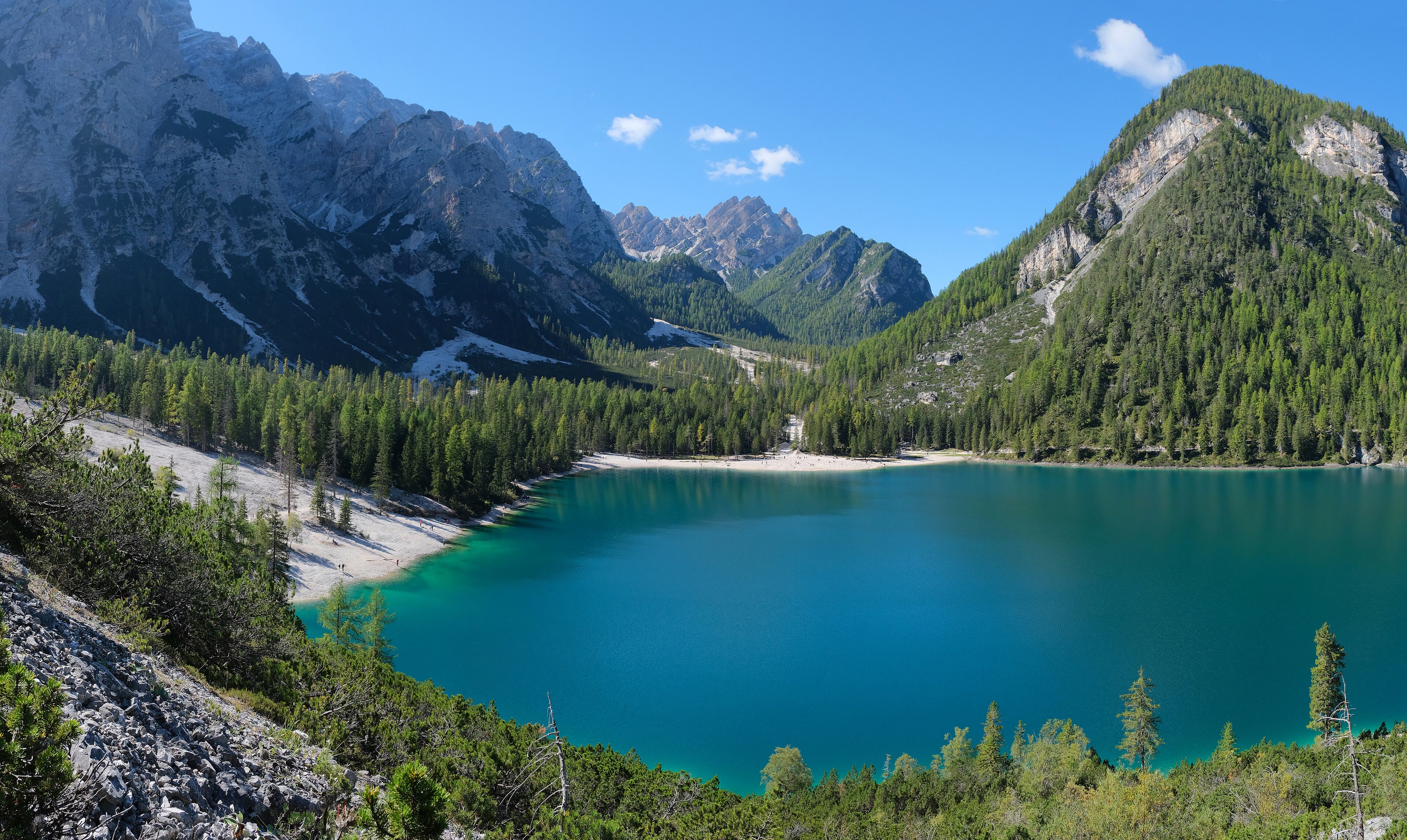
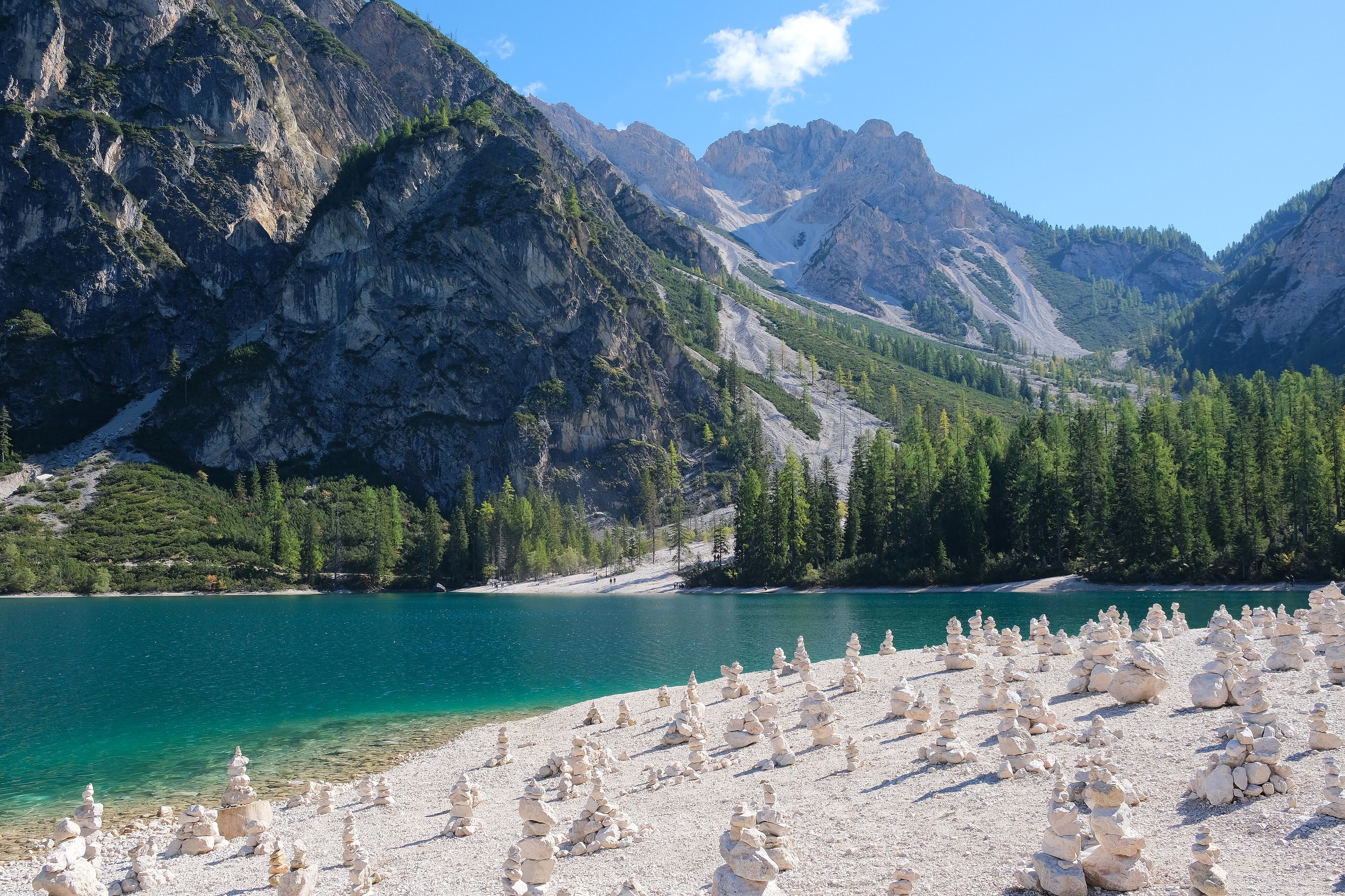
The last path of the Long Way drops through the larches to a lake the colour of bottle glass. Lago di Braies lies at one thousand four hundred and ninety-six metres under the great wall of the Seekofel, with a wooden boathouse on stilts at its shore that has launched a thousand photographs — row out in the morning, when the water holds the mountain upside down and the day boats haven't stirred it. It is a gentle place to end a walk of — let me count it honestly — six chapters and fifty-six stops: from the Atlantic surf at Hendaye, across the Pyrenees, west the whole length of the Camino to the ocean, over the Haute Route to the Matterhorn, through the Oberland and Austria, and down into these pale mountains. Two seas. Five countries walked, and a sixth touched. I have been saying for thirty years that Europe is best understood at three miles an hour, and this journey is the whole of my evidence. The boots come off here, friends. Thank you for walking it with me — every path from here is yours.
See this place in the galleryLago di Braies, Journey's End — our interpretation, created from the reference photographs belowReference photographs — Val Gardena and the Sassolungo · 4 photographsReference photographs — Seceda and the Odle · 3 photographsReference photographs — Alpe di Siusi · 3 photographsReference photographs — Lago di Carezza and the Rosengarten · 3 photographsReference photographs — The Marmolada · 3 photographsReference photographs — Passo Giau and Cortina · 4 photographsReference photographs — Tre Cime di Lavaredo · 2 photographsReference photographs — Lago di Braies, Journey's End · 2 photographs
The end of the Long Way
Fifty-six stops, two seas and the roof of the Alps — the Pyrenees crossed, Spain walked end to end, the Haute Route finished under the Matterhorn, the Oberland walked from the lakes to the great glacier, Austria crossed from the Arlberg to Salzburg, and the Dolomites walked to the last lake. Thank you for walking these chapters with him.
The Long Way is complete. Every path from here is yours — the journeys page will take you back to the start, or on to somewhere new. All the journeys are one tap away.
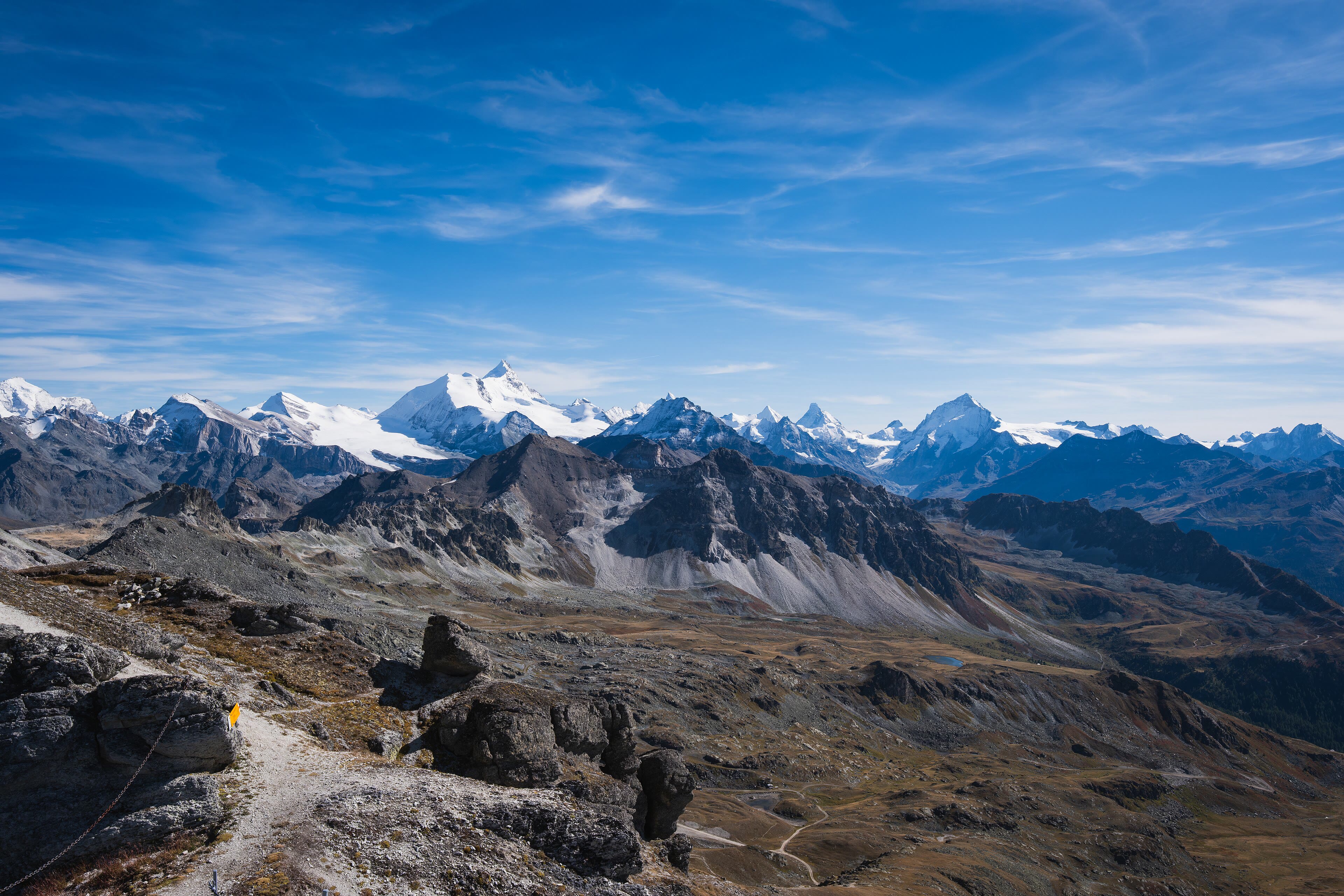
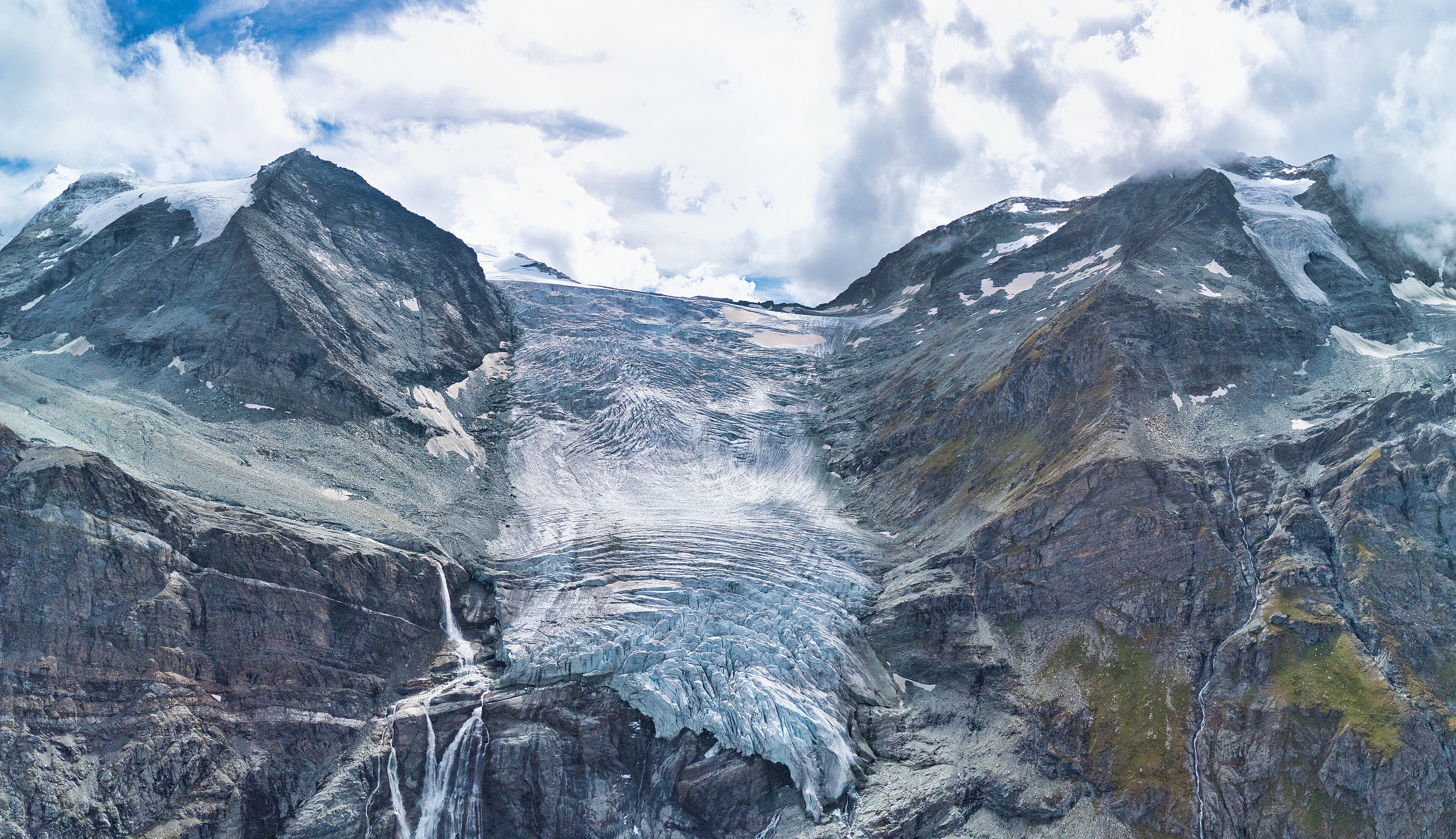
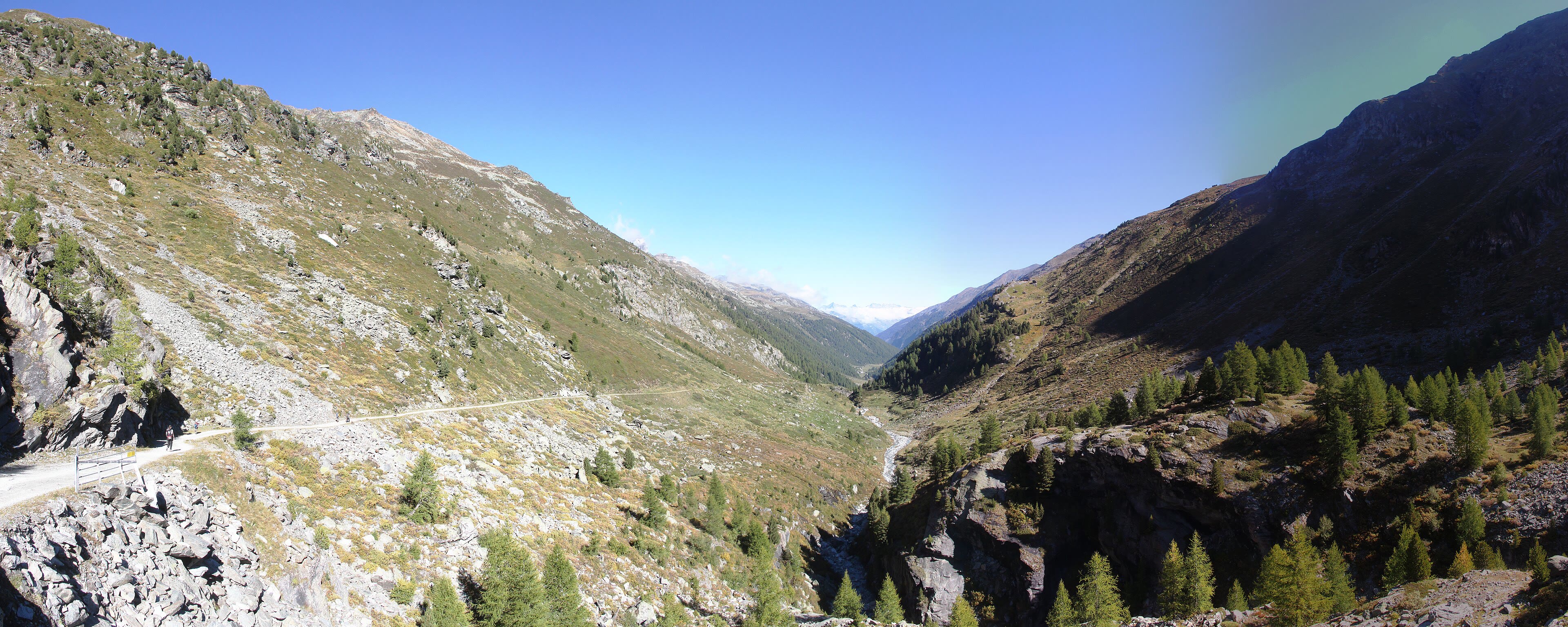
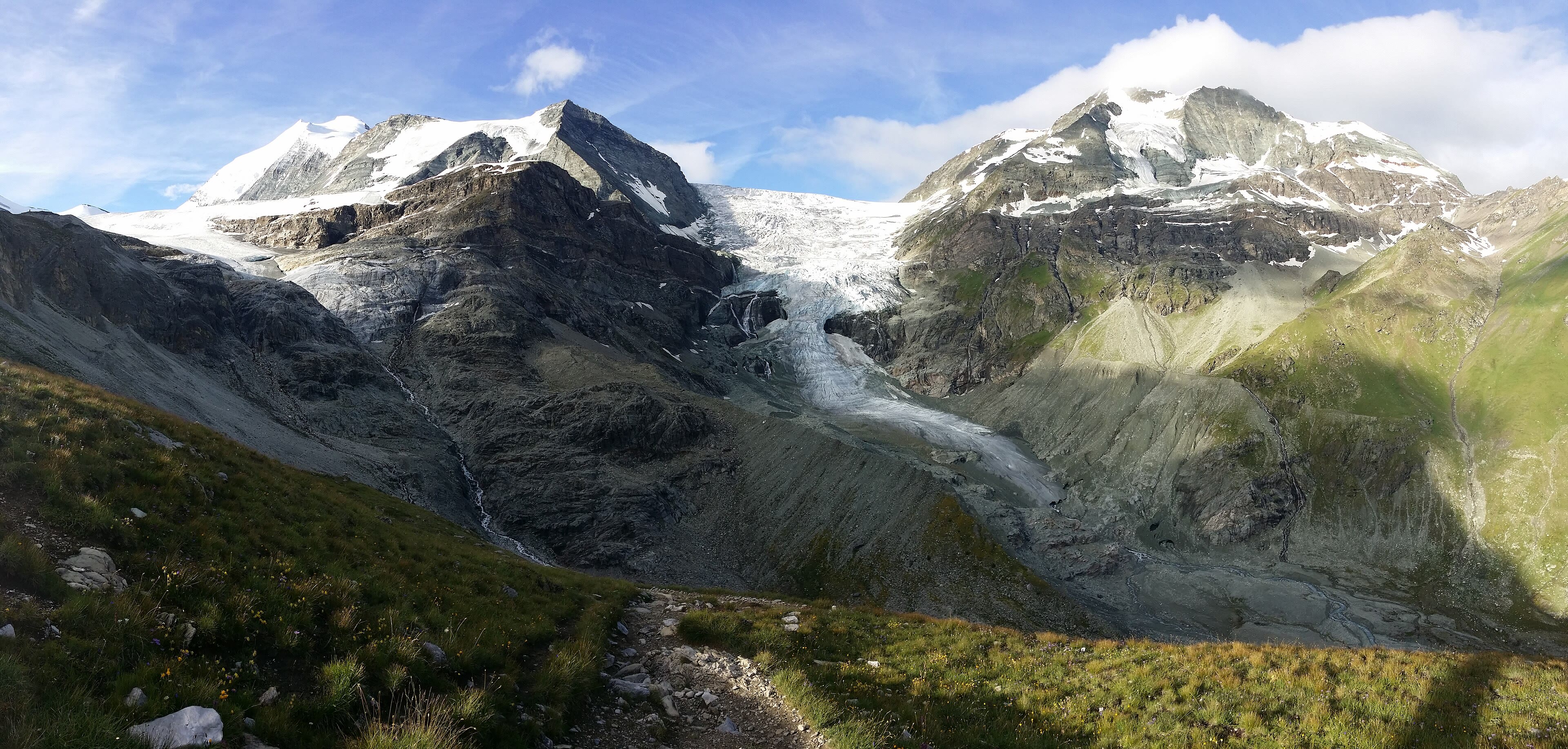
Cabane de Prafleuri and the Grand Désert — CC BY-SA 2.0 · Björn S... · Wikimedia Commons
Cabane de Prafleuri and the Grand Désert — CC BY-SA 2.0 · Björn S... · Wikimedia Commons
Cabane de Prafleuri and the Grand Désert — CC BY-SA 3.0 · Björn S. · Wikimedia Commons
The Lac des Dix and Arolla
Lac des Dix and Arolla — CC BY-SA 4.0 · Luca Gerber · Wikimedia Commons
Lac des Dix and Arolla — CC BY-SA 4.0 · Jérémy Toma · Wikimedia Commons
Lac des Dix and Arolla — CC BY-SA 4.0 · MurielBendel · Wikimedia Commons
Evolène and the Val d’Hérens
Evolène and the Val d Hérens — CC BY-SA 3.0 · Vaquins · Wikimedia Commons
Evolène and the Val d Hérens — CC BY-SA 3.0 · 100zax · Wikimedia Commons
Evolène and the Val d Hérens — CC BY-SA 4.0 · Jérémy Toma · Wikimedia Commons
Evolène and the Val d Hérens — CC BY-SA 4.0 · Joris Egger · Wikimedia Commons
Grimentz and Zinal — The Imperial Crown
Grimentz and Zinal — CC BY-SA 4.0 · Christian David · Wikimedia Commons
Grimentz and Zinal — CC BY-SA 4.0 · Christian David · Wikimedia Commons
Grimentz and Zinal — CC BY-SA 4.0 · Christian David · Wikimedia Commons
Over the Meidpass to Gruben
Over the Meidpass to Gruben — CC BY-SA 4.0 · Reustli · Wikimedia Commons
Over the Meidpass to Gruben — CC BY-SA 2.0 · Björn S... · Wikimedia Commons
Over the Meidpass to Gruben — CC BY-SA 4.0 · GabrielleMerk · Wikimedia Commons
St Niklaus and the Mattertal — The Reveal
St Niklaus and the Mattertal — CC0 · Rijksmuseum · Wikimedia Commons
St Niklaus and the Mattertal — CC BY-SA 3.0 · Roy Lindman · Wikimedia Commons
St Niklaus and the Mattertal — CC BY-SA 3.0 · Roy Lindman (Roylindman at en.wikipedia) · Wikimedia Commons
St Niklaus and the Mattertal — CC BY-SA 4.0 · Reustli · Wikimedia Commons
Zermatt and the Matterhorn
Zermatt and the Matterhorn — CC BY-SA 4.0 · Giorgio Galeotti · Wikimedia Commons
Zermatt and the Matterhorn — CC BY-SA 4.0 · Giorgio Galeotti · Wikimedia Commons
Zermatt and the Matterhorn — CC BY-SA 4.0 · chensiyuan · Wikimedia Commons
Zermatt and the Matterhorn — CC BY-SA 4.0 · NOTE: This image is a panorama consisting of multiple frames that were merged or stitched in software. As a result, this image necessarily underwent some form of digital manipulation. These manipulations may include blending, blurring, cloning, and color and perspective adjustments. As a result of these adjustments, the image content may be slightly different from reality at the points where multiple images were combined. This manipulation is often required due to lens, perspective, and parallax distortions. · Wikimedia Commons
Zermatt and the Matterhorn — CC BY-SA 4.0 · Roy Egloff · Wikimedia Commons
Zermatt and the Matterhorn — CC BY-SA 3.0 · Björn S. · Wikimedia Commons
Interlaken and the Two Lakes
Interlaken and the Two Lakes — CC BY-SA 4.0 · Robot8A · Wikimedia Commons
Interlaken and the Two Lakes — CC BY-SA 4.0 · Robot8A · Wikimedia Commons
Interlaken and the Two Lakes — CC BY 4.0 · Pierre-Selim Huard · Wikimedia Commons
Lauterbrunnen, the Valley of Waterfalls
Lauterbrunnen, Valley of Waterfalls — CC BY-SA 4.0 · PantaRhei · Wikimedia Commons
Lauterbrunnen, Valley of Waterfalls — CC BY-SA 4.0 · PantaRhei · Wikimedia Commons
Lauterbrunnen, Valley of Waterfalls — CC BY-SA 4.0 · PantaRhei · Wikimedia Commons
Mürren, the Village on the Ledge
Mürren, the Village on the Ledge — CC BY-SA 2.5 · Andrew Bossi stitched by Marku1988 This panoramic image was created with Autostitch (stitched images may differ from reality). · Wikimedia Commons
Mürren, the Village on the Ledge — CC BY-SA 4.0 · Ank Kumar · Wikimedia Commons
Mürren, the Village on the Ledge — CC0 · Leonhard Lenz · Wikimedia Commons
Wengen and Kleine Scheidegg
Wengen and Kleine Scheidegg — CC0 · Leonhard Lenz · Wikimedia Commons
Wengen and Kleine Scheidegg — CC0 · Leonhard Lenz · Wikimedia Commons
Wengen and Kleine Scheidegg — CC BY-SA 3.0 · Markus Jung · Wikimedia Commons
Wengen and Kleine Scheidegg — CC BY-SA 4.0 · LiLaLu13 · Wikimedia Commons
Under the Eiger — Grindelwald
Under the Eiger — Grindelwald — CC0 · Leonhard Lenz · Wikimedia Commons
Under the Eiger — Grindelwald — CC0 · Leonhard Lenz · Wikimedia Commons
Under the Eiger — Grindelwald — CC0 · Leonhard Lenz · Wikimedia Commons
Under the Eiger — Grindelwald — CC0 · Leonhard Lenz · Wikimedia Commons
Meiringen and the Aare Gorge
Meiringen and the Aare Gorge — CC BY-SA 4.0 · JoanaImages · Wikimedia Commons
Meiringen and the Aare Gorge — CC BY-SA 2.0 · dconvertini · Wikimedia Commons
Meiringen and the Aare Gorge — CC BY-SA 2.0 · dconvertini · Wikimedia Commons
Kandersteg and the Oeschinensee
Kandersteg and the Oeschinensee — CC BY-SA 4.0 · Deralpinbergsteiger · Wikimedia Commons
Kandersteg and the Oeschinensee — CC BY-SA 3.0 · Günter Seggebäing, Coesfeld · Wikimedia Commons
Kandersteg and the Oeschinensee — CC BY-SA 4.0 · Bob Tan · Wikimedia Commons
The Great Aletsch Glacier
The Great Aletsch Glacier — CC0 · Maxime Staudenmann mastamax · Wikimedia Commons
The Great Aletsch Glacier — CC BY-SA 2.0 · M M from Switzerland · Wikimedia Commons
The Great Aletsch Glacier — CC BY-SA 3.0 · Picea Abies · Wikimedia Commons
St. Anton and the Silvretta
St. Anton and the Silvretta — CC BY-SA 4.0 · Keimzelle · Wikimedia Commons
St. Anton and the Silvretta — CC BY-SA 3.0 · de_vald · Wikimedia Commons
St. Anton and the Silvretta — CC BY 4.0 · Stefan.straub · Wikimedia Commons
St. Anton and the Silvretta — CC BY 4.0 · Stefan.straub · Wikimedia Commons
Val Gardena and the Sassolungo — CC BY-SA 3.0 · This Photo was taken by Wolfgang Moroder. Feel free to use my photos, but please mention me as the author and send me a message. This image is not in the public domain. Please respect the copyright protection. It may only be used according to the rules mentioned here. This specifically excludes use in social media, if applicable terms of the licenses listed here are not appropriate. Please do not upload an updated image here without consultation with the Author. The author would like to make corrections only at his own source. This ensures that the changes are preserved.Please if you think that any changes should be required, please inform the author.Otherwise you can upload a new image with a new name. Please use one of the templates derivative or extract. · Wikimedia Commons
Val Gardena and the Sassolungo — CC BY-SA 3.0 · This Photo was taken by Wolfgang Moroder. Feel free to use my photos, but please mention me as the author and send me a message. This image is not in the public domain. Please respect the copyright protection. It may only be used according to the rules mentioned here. This specifically excludes use in social media, if applicable terms of the licenses listed here are not appropriate. Please do not upload an updated image here without consultation with the Author. The author would like to make corrections only at his own source. This ensures that the changes are preserved.Please if you think that any changes should be required, please inform the author.Otherwise you can upload a new image with a new name. Please use one of the templates derivative or extract. · Wikimedia Commons
Val Gardena and the Sassolungo — CC BY-SA 4.0 · This Photo was taken by Wolfgang Moroder. Feel free to use my photos, but please mention me as the author and send me a message. This image is not in the public domain. Please respect the copyright protection. It may only be used according to the rules mentioned here. This specifically excludes use in social media, if applicable terms of the licenses listed here are not appropriate. Please do not upload an updated image here without consultation with the Author. The author would like to make corrections only at his own source. This ensures that the changes are preserved.Please if you think that any changes should be required, please inform the author.Otherwise you can upload a new image with a new name. Please use one of the templates derivative or extract. · Wikimedia Commons
Val Gardena and the Sassolungo — CC BY-SA 3.0 · This Photo was taken by Wolfgang Moroder. Feel free to use my photos, but please mention me as the author and send me a message. This image is not in the public domain. Please respect the copyright protection. It may only be used according to the rules mentioned here. This specifically excludes use in social media, if applicable terms of the licenses listed here are not appropriate. Please do not upload an updated image here without consultation with the Author. The author would like to make corrections only at his own source. This ensures that the changes are preserved.Please if you think that any changes should be required, please inform the author.Otherwise you can upload a new image with a new name. Please use one of the templates derivative or extract. · Wikimedia Commons
Seceda and the Odle
Seceda and the Odle — CC BY-SA 4.0 · NorbertNagel · Wikimedia Commons
Seceda and the Odle — CC BY-SA 4.0 · NorbertNagel · Wikimedia Commons
Seceda and the Odle — CC BY-SA 4.0 · NorbertNagel · Wikimedia Commons
Alpe di Siusi — CC BY-SA 3.0 · This Photo was taken by Wolfgang Moroder. Feel free to use my photos, but please mention me as the author and send me a message. This image is not in the public domain. Please respect the copyright protection. It may only be used according to the rules mentioned here. This specifically excludes use in social media, if applicable terms of the licenses listed here are not appropriate. Please do not upload an updated image here without consultation with the Author. The author would like to make corrections only at his own source. This ensures that the changes are preserved.Please if you think that any changes should be required, please inform the author.Otherwise you can upload a new image with a new name. Please use one of the templates derivative or extract. · Wikimedia Commons
Alpe di Siusi — CC BY-SA 3.0 · This Photo was taken by Wolfgang Moroder. Feel free to use my photos, but please mention me as the author and send me a message. This image is not in the public domain. Please respect the copyright protection. It may only be used according to the rules mentioned here. This specifically excludes use in social media, if applicable terms of the licenses listed here are not appropriate. Please do not upload an updated image here without consultation with the Author. The author would like to make corrections only at his own source. This ensures that the changes are preserved.Please if you think that any changes should be required, please inform the author.Otherwise you can upload a new image with a new name. Please use one of the templates derivative or extract. · Wikimedia Commons
Lago di Carezza and the Rosengarten
Lago di Carezza and the Rosengarten — CC BY-SA 4.0 · Einaz80 · Wikimedia Commons
Lago di Carezza and the Rosengarten — CC BY 2.0 · Son of Groucho from Scotland · Wikimedia Commons
Lago di Carezza and the Rosengarten — CC0 · Kristopher Roller krisroller · Wikimedia Commons
The Marmolada
The Marmolada — CC BY-SA 4.0 · This Photo was taken by Wolfgang Moroder. Feel free to use my photos, but please mention me as the author and send me a message. This image is not in the public domain. Please respect the copyright protection. It may only be used according to the rules mentioned here. This specifically excludes use in social media, if applicable terms of the licenses listed here are not appropriate. Please do not upload an updated image here without consultation with the Author. The author would like to make corrections only at his own source. This ensures that the changes are preserved.Please if you think that any changes should be required, please inform the author.Otherwise you can upload a new image with a new name. Please use one of the templates derivative or extract. · Wikimedia Commons
The Marmolada — CC BY-SA 4.0 · Ximonic (Simo Räsänen) · Wikimedia Commons
 Jason D’s Vision